About this sheet
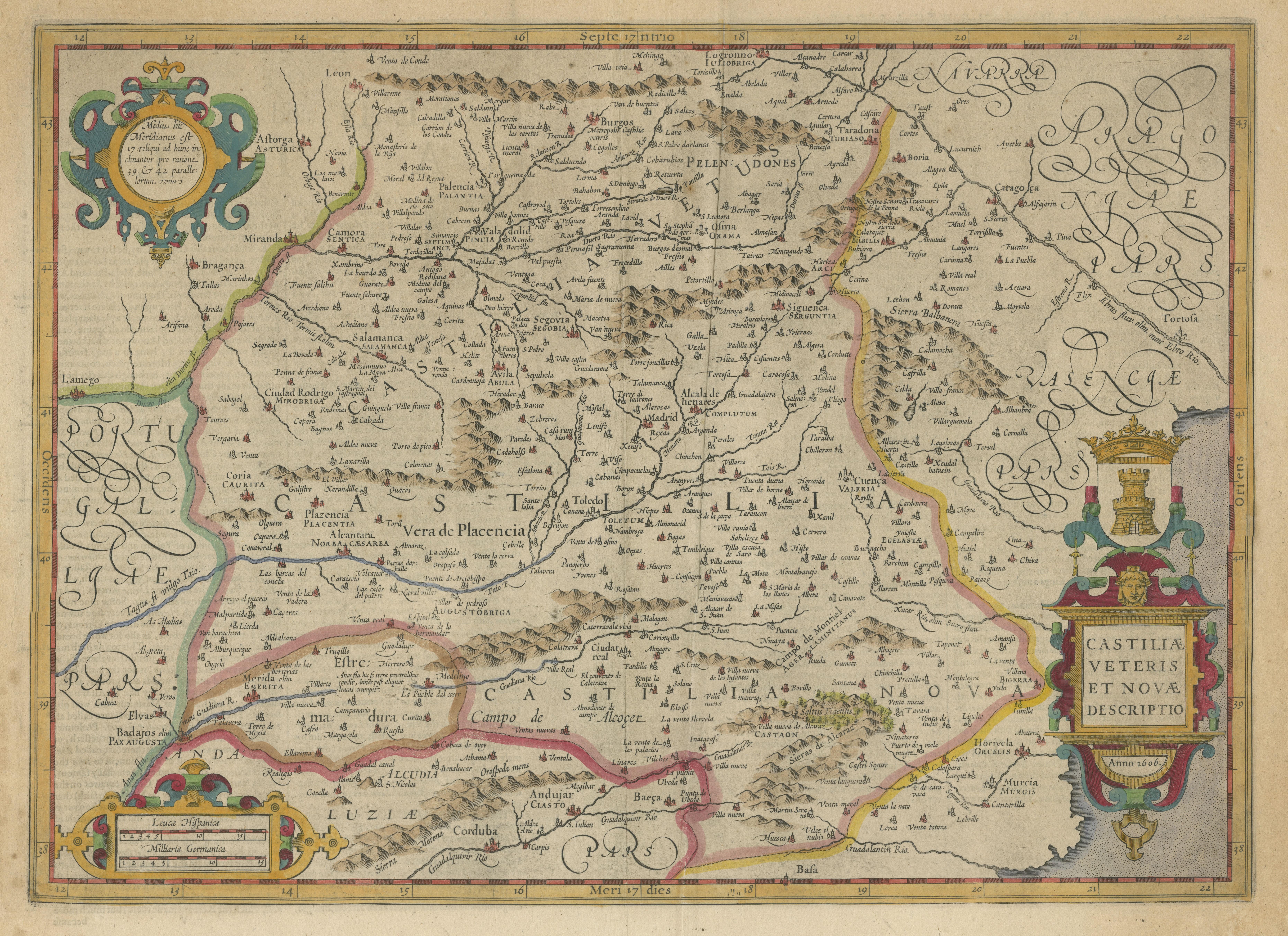

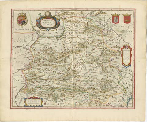
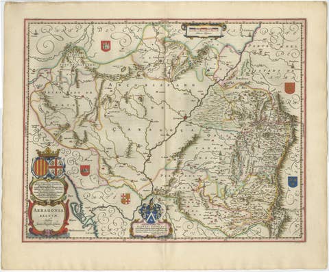
Antique Map of Old and New Castile, Spain by Jodocus Hondius, c.1636
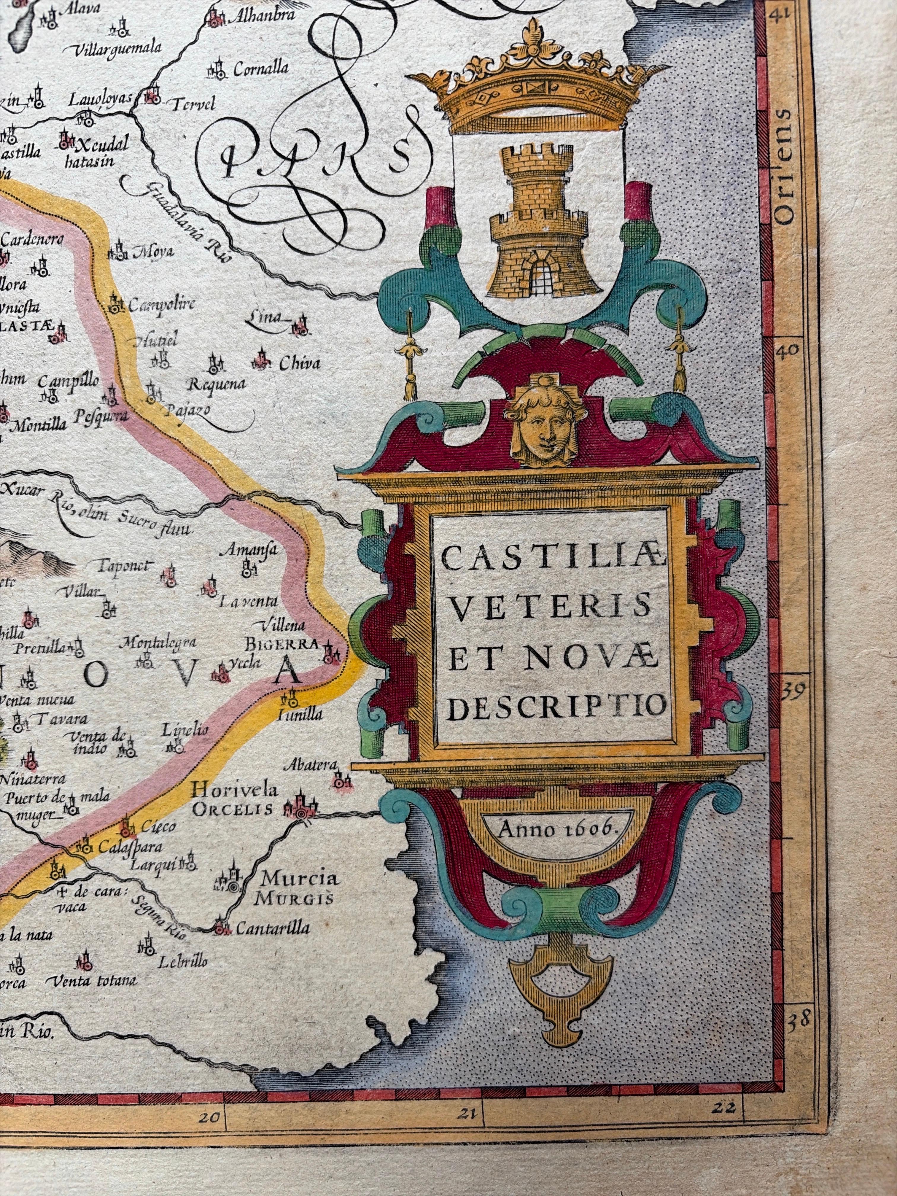
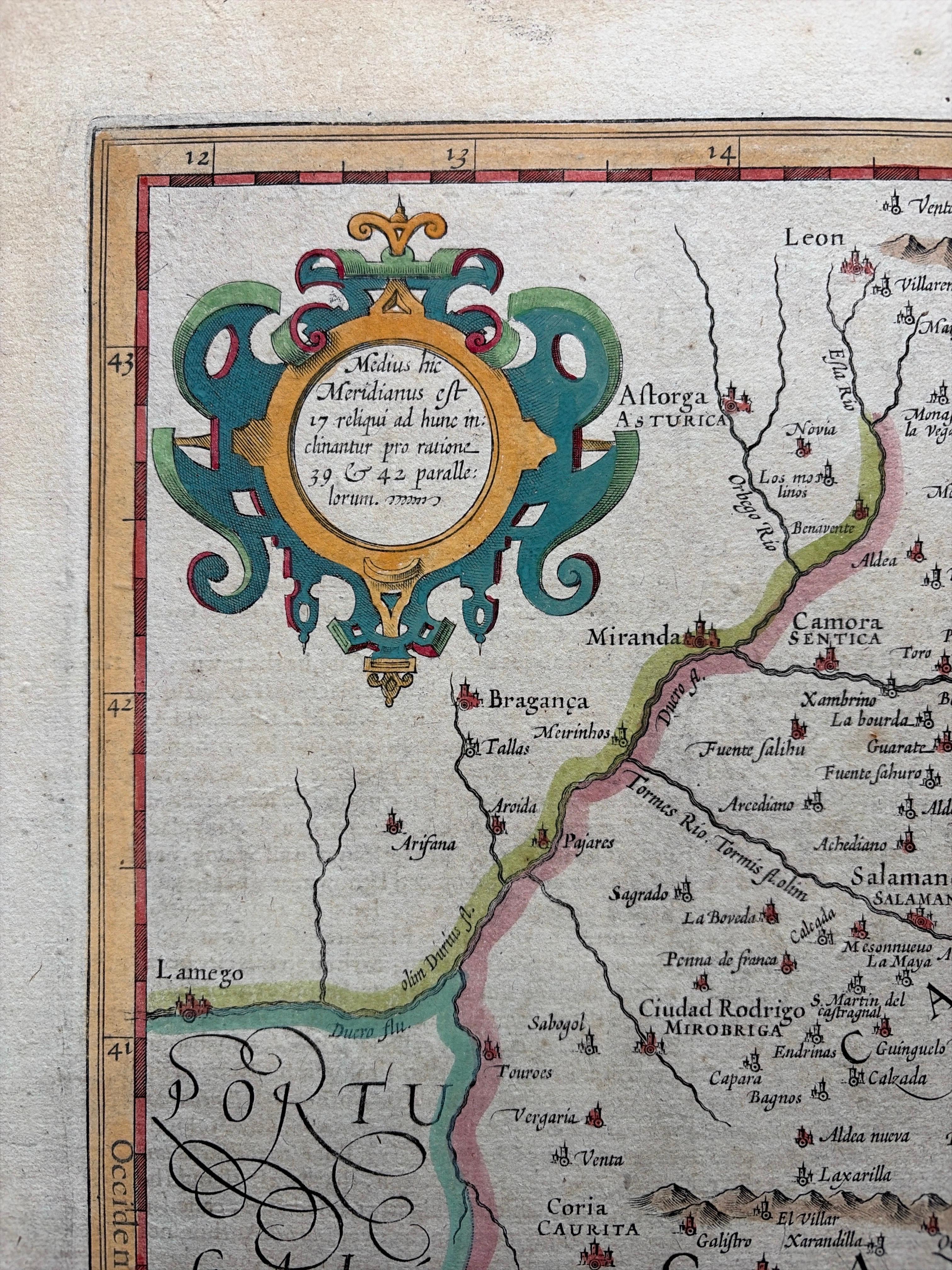
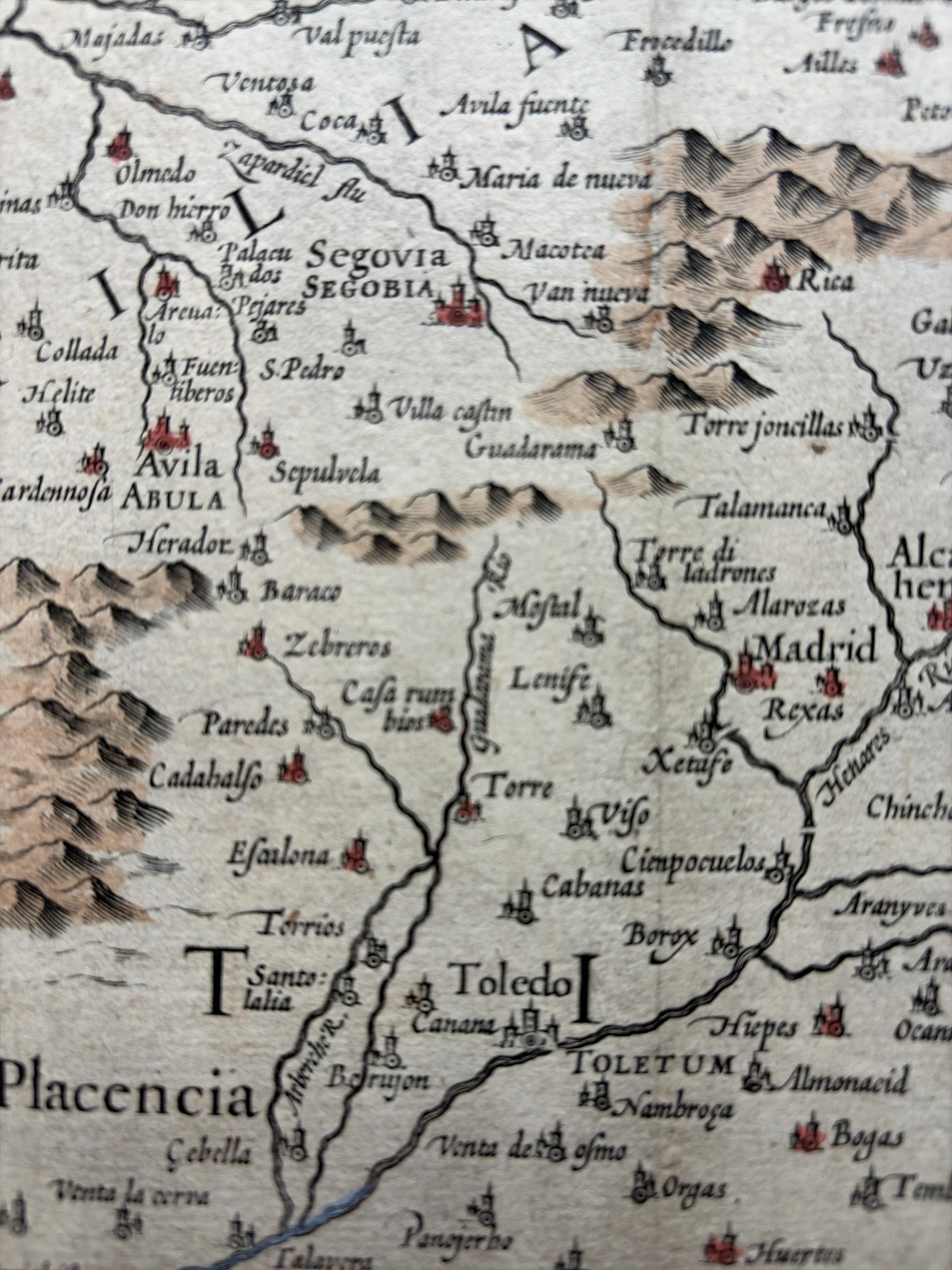
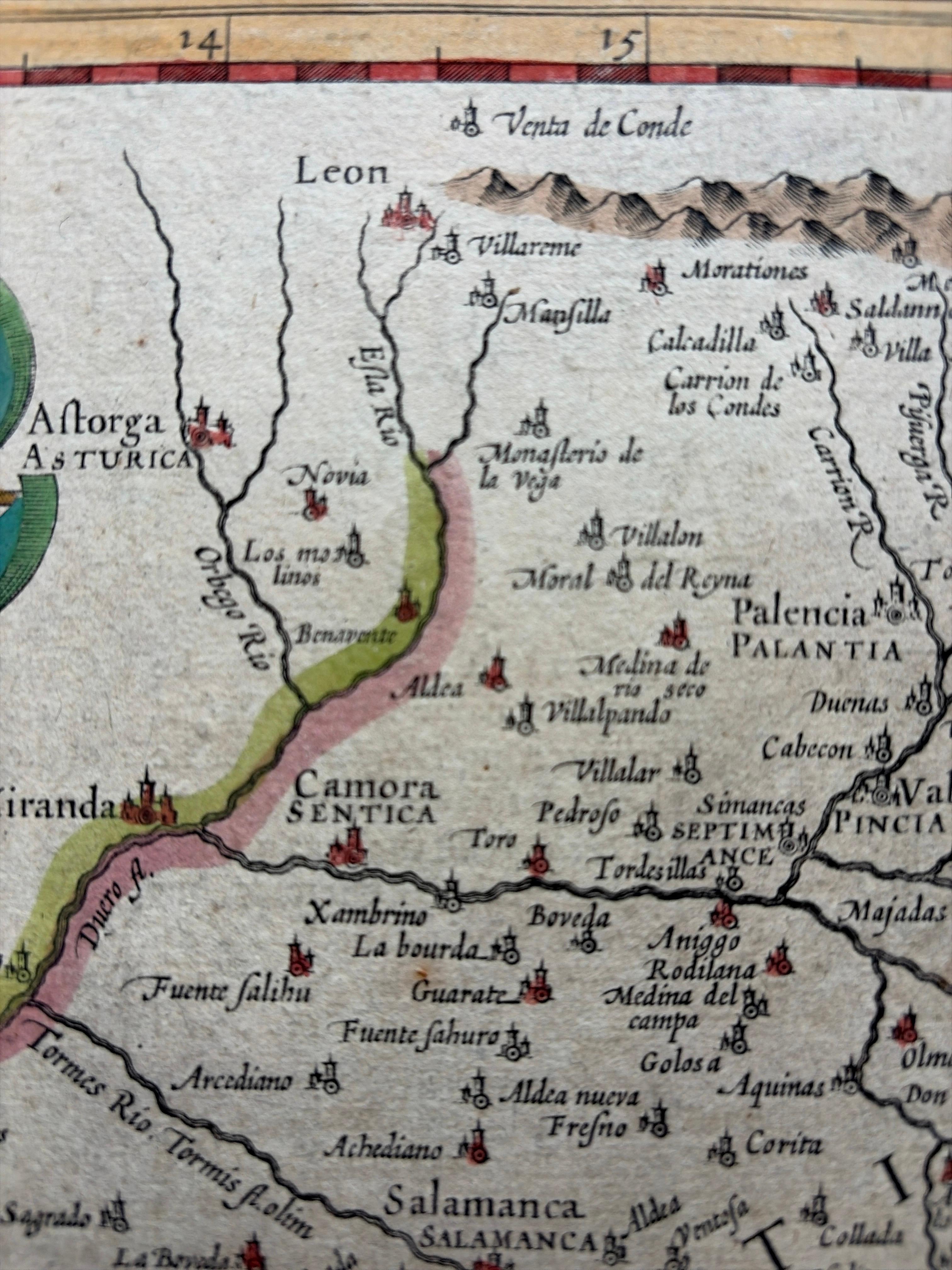
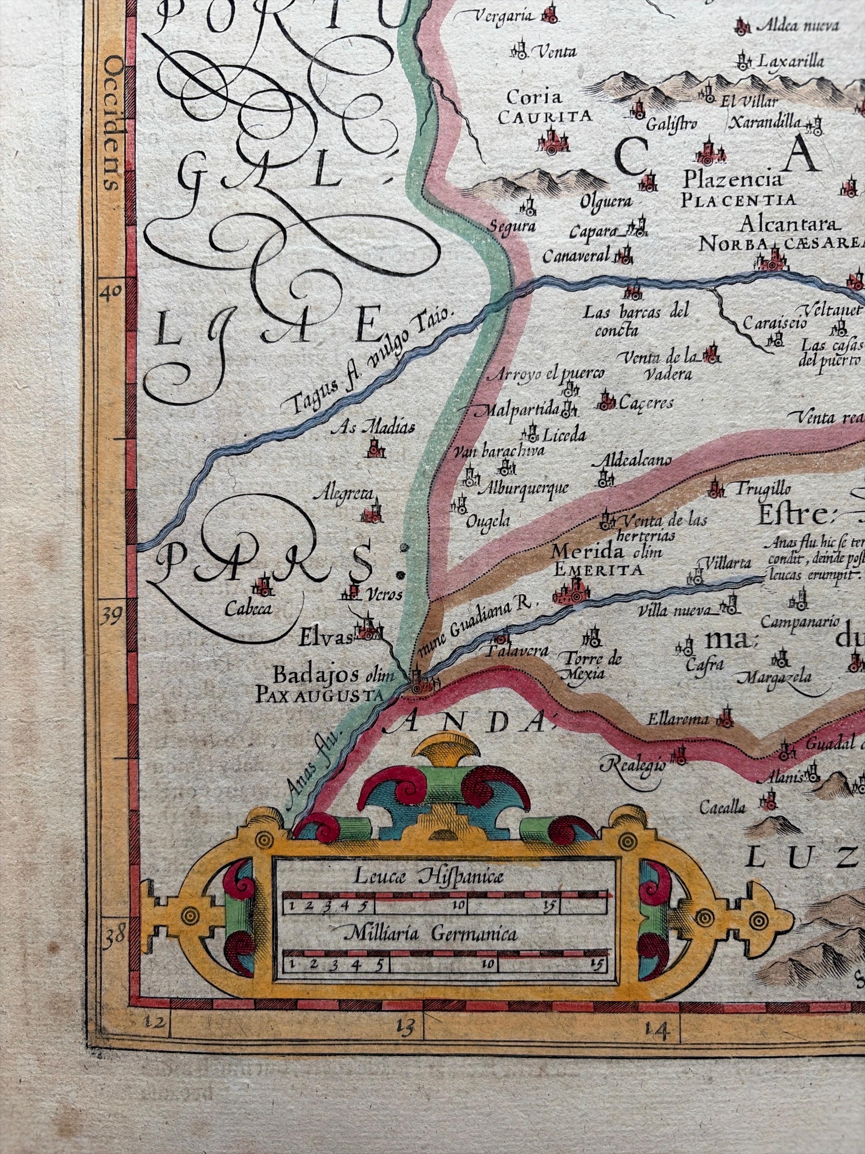
This fine antique map titled Castiliae Veteris et Novae Descriptio presents Old Castile and New Castile, historic regions of Spain. Centered on Madrid and Toledo, the map depicts towns, rivers, mountains, and political boundaries with remarkable precision and artistry. Decorative cartouches adorn the corners, and a large coat of arms adds heraldic distinction.
The map was published by Jodocus Hondius (1563–1612), one of the most influential cartographers and engravers of the Dutch Golden Age. Hondius acquired the plates of Gerardus Mercator’s atlas in the early 17th century and expanded the work by adding 36 new maps, many engraved by his own hand. His successful reissues helped cement Mercator’s reputation as one of history’s greatest mapmakers. After Hondius’ death in 1612, his sons and later his son-in-law Johannes Janssonius continued the business, reissuing the atlas with updated maps, including this plate of Castile, around 1636.
A list of important places visible on the map:
* Ponferrada
* León
* Salamanca
* Ávila
* Segovia
* Madrid
* Toledo
* Guadalajara
* Cuenca
* Plasencia
* Talavera
* Ciudad Rodrigo
* Alcalá de Henares
* Burgos
* Zamora
* Sigüenza
* Consuegra
This grouping shows the map’s dual focus on Old Castile (northwest) with León, Burgos, Zamora, Ponferrada, Salamanca, etc., and New Castile (center and south) with Madrid, Toledo, Cuenca, and Guadalajara.
This map is a superb example of early 17th-century Dutch cartography, combining geographical detail with decorative flourish. Collectors will appreciate its historical context, both as a representation of Spain’s evolving political geography and as a product of the Hondius-Mercator-Janssonius publishing dynasty.
Condition report:
Fair condition for its age. Age toning and light foxing. Original centerfold as issued. Hand-colored with period outline color.
Framing tips:
This map would display beautifully in a traditional dark walnut or ebonized wood frame. An ivory or cream mat with a thin gold or burgundy inner line will enhance both the detailed engraving and the hand-colored borders, lending a refined presentation suitable for study, library, or living space.
Technique: Engraving with original hand color
Maker: Jodocus Hondius, Amsterdam, c.1636