About this sheet
Ancient Europe Map 1652, Europa Antiqua – Nicolas Blancardus, Roman World
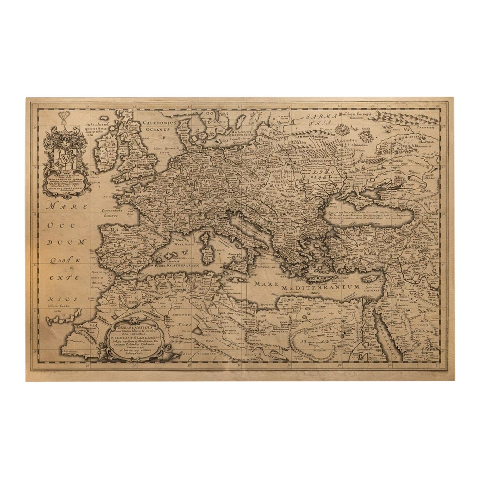
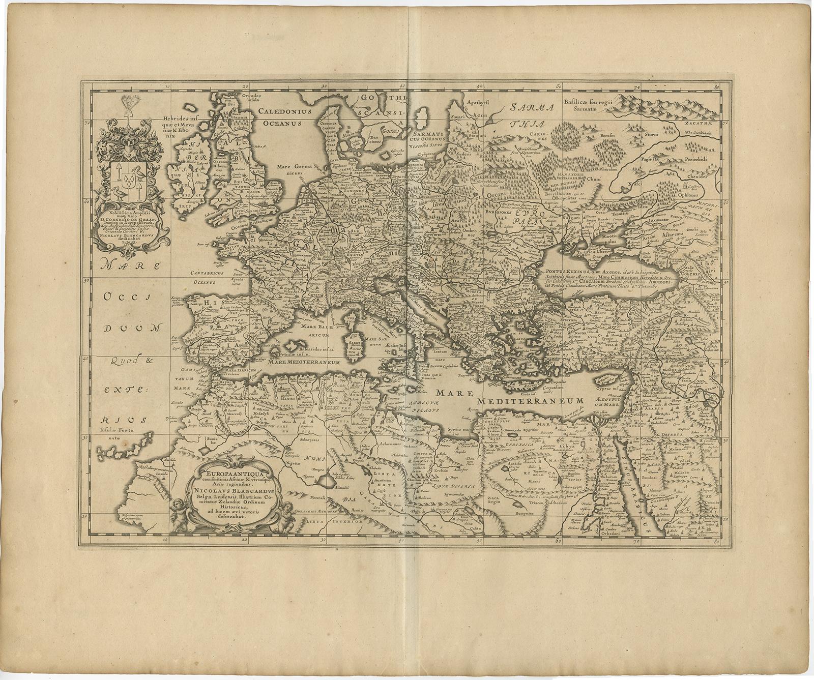
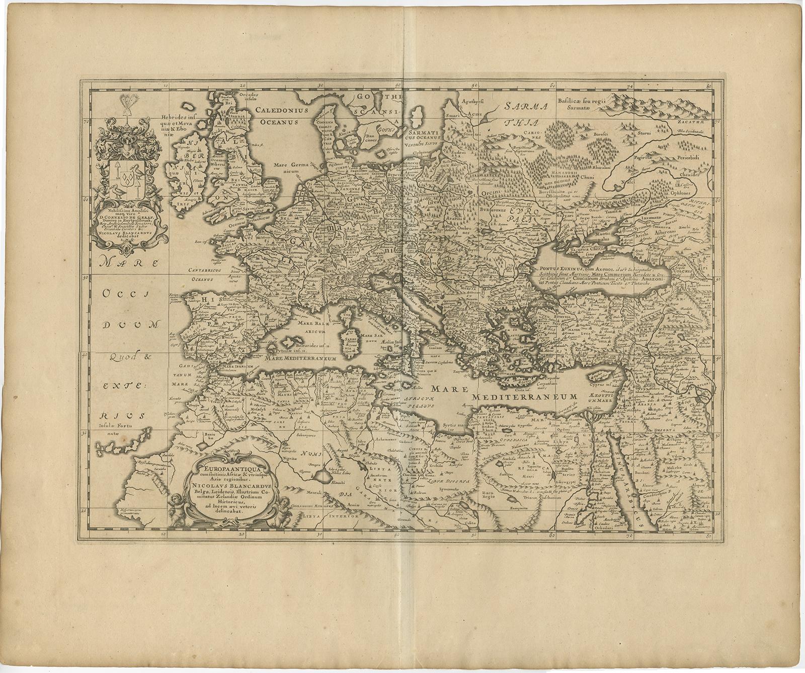
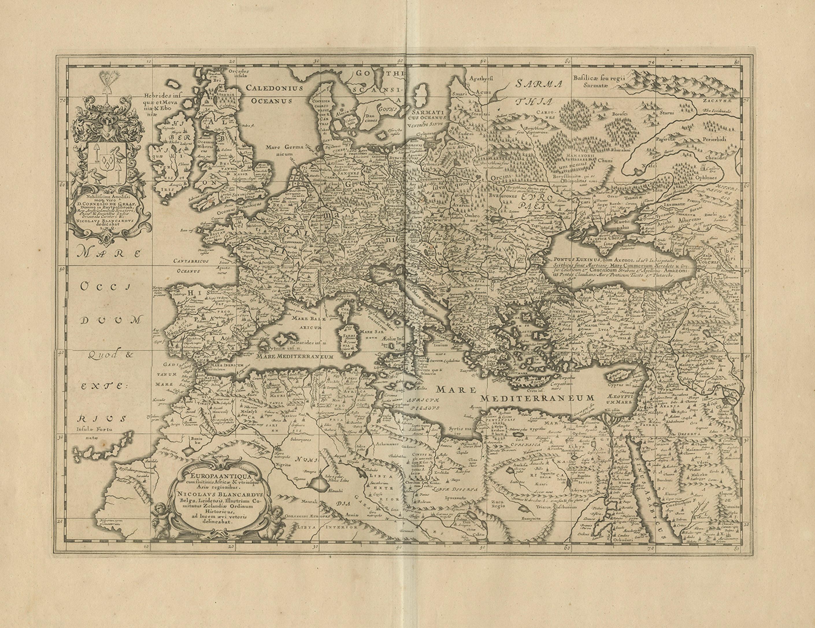
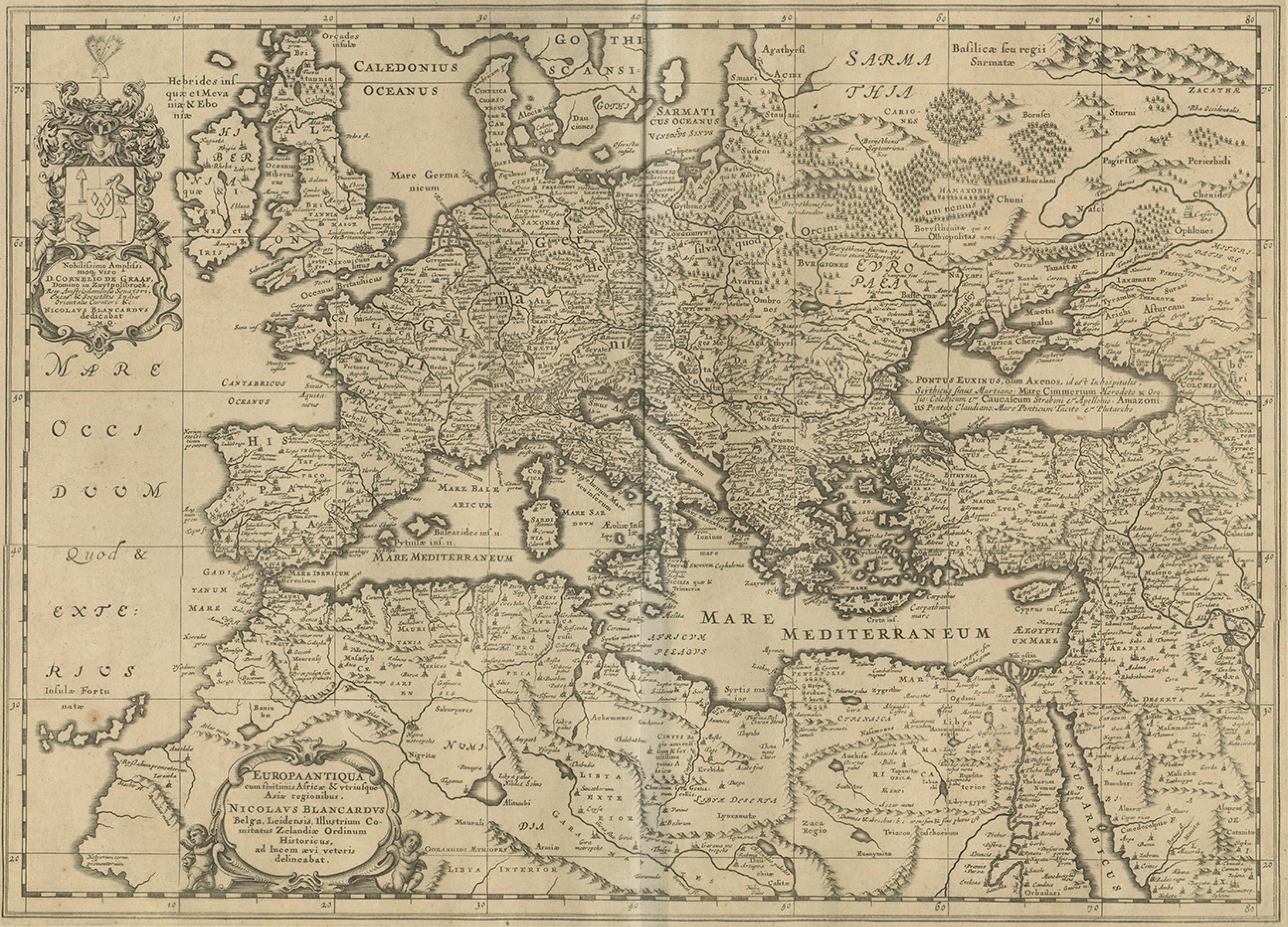
This uncommon mid-17th-century map of ancient Europe presents the classical world as understood during the height of the Roman Empire. Titled Europa Antiqua cum finitimis Africae & utriusque Asiae regionibus, it was drawn by Nicolaus Blancardus and published in Amsterdam by Joannes Janssonius around 1652. The map extends well beyond Europe proper to include North Africa, the eastern Mediterranean, and parts of the Near East, reflecting the geographic scope of Roman influence and classical historiography.
The map is offered unframed, enabling custom framing to personal or interior preferences.
The entire sheet is densely filled with ancient place names, tribal territories, and regional designations drawn from Greek and Roman sources. Modern country names are absent; instead, the map uses classical nomenclature for provinces, cities, and peoples, making it a visual companion to the study of antiquity. Rivers, mountain ranges, and coastlines are rendered with fine pictorial engraving, while subtle relief and stylized forests enhance the topographical character.
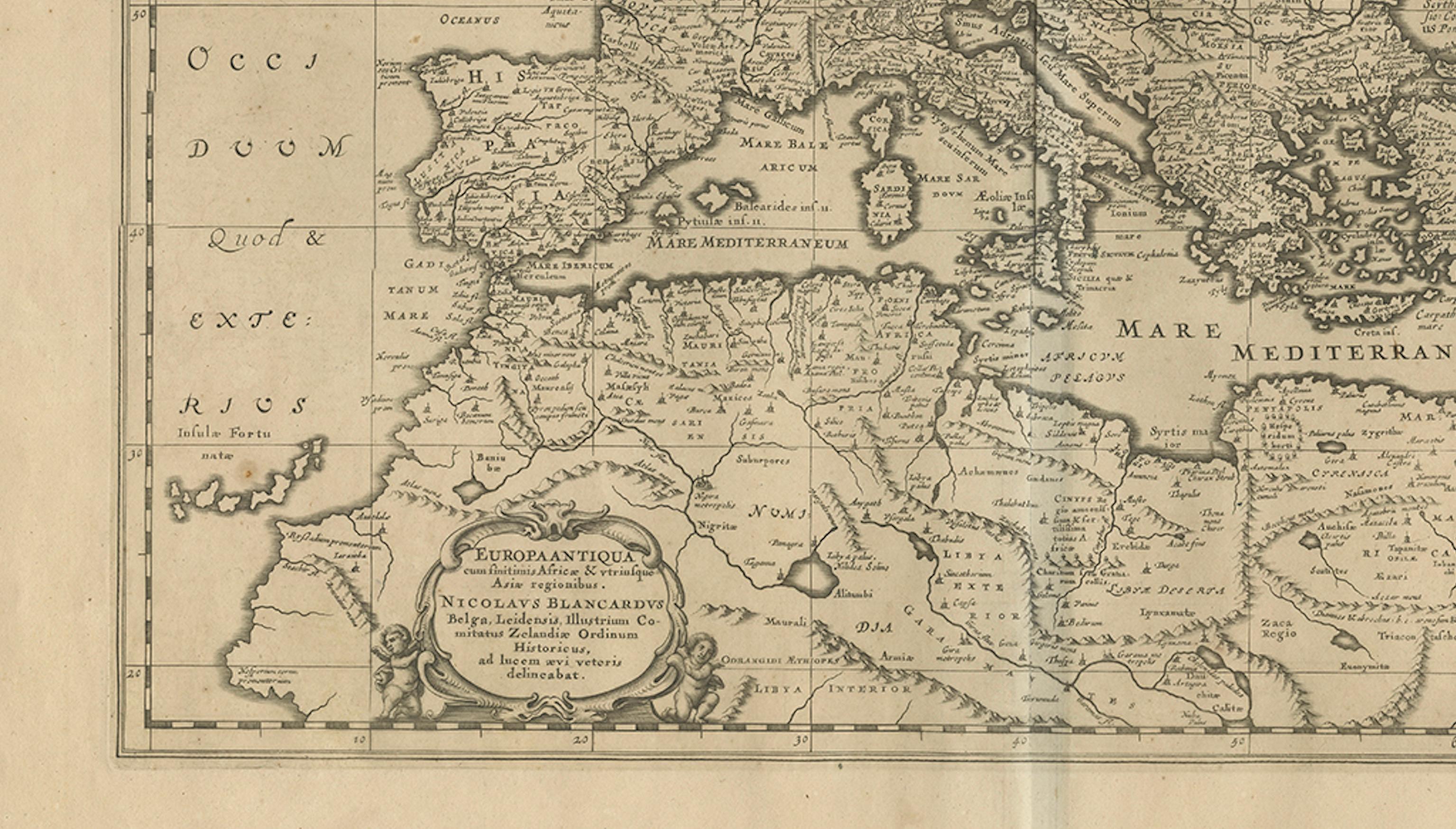
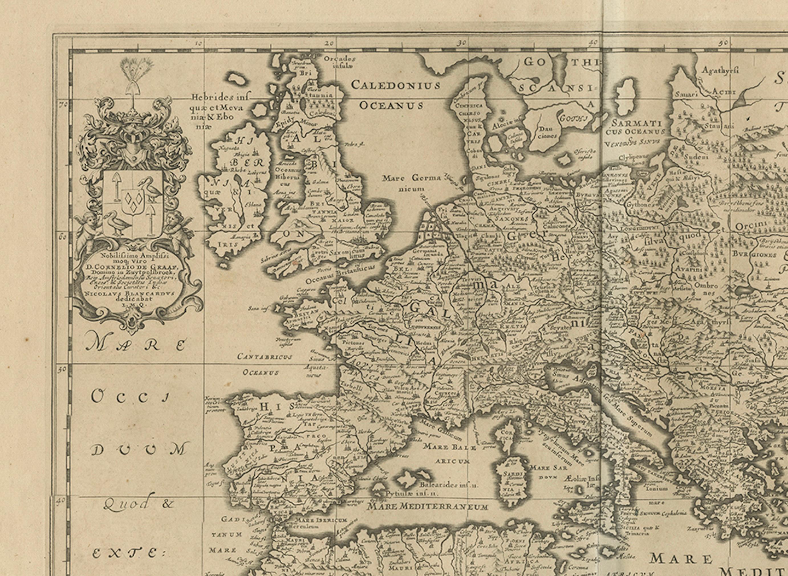
Britannia, Gallia, Hispania, Italia, Germania, and Graecia are shown alongside Asia Minor, the Levant, and northern Africa, with the Mediterranean occupying a central role as the Mare Mediterraneum. Decorative elements include an elaborate cartouche in the lower left bearing the title and Blancardus’s name, as well as an armorial dedication panel in the upper left, typical of Janssonius’s scholarly atlas production.
Blancardus, a professor at Leiden University, designed this map specifically as an educational tool for students of ancient history and classical geography. Rather than serving navigational purposes, it functioned as a didactic reference, aligning geography with historical texts by authors such as Ptolemy, Strabo, and Pliny. As such, it occupies an important place within the tradition of “antique” or historical maps that flourished in the 17th century.
Today, this map is prized by collectors of classical antiquity, early historical cartography, and scholars interested in how the early modern period visualized the ancient world. Its restrained engraving, academic intent, and broad geographic scope make it equally suitable for a study, library, or refined interior setting.
Condition report:
Original 17th-century engraving. Even age toning throughout, with light spotting and handling marks consistent with age. A vertical centerfold as issued. Margins ample; no losses. Overall a well-preserved, honest example.
Framing tips:
This map benefits from a dark walnut or ebonized frame paired with a wide ivory or warm grey mat to emphasize the fine engraving. Museum glass is recommended. A classic library or study setting suits this scholarly map particularly well. The map is offered unframed, enabling custom framing to personal or interior preferences.
Technique: Engraving
Maker: Nicolaus Blancardus, Leiden / Amsterdam, circa 1652