About this sheet
Ancient Raetia & Noricum Map — Roman Alpine Provinces, Wilkinson 1823
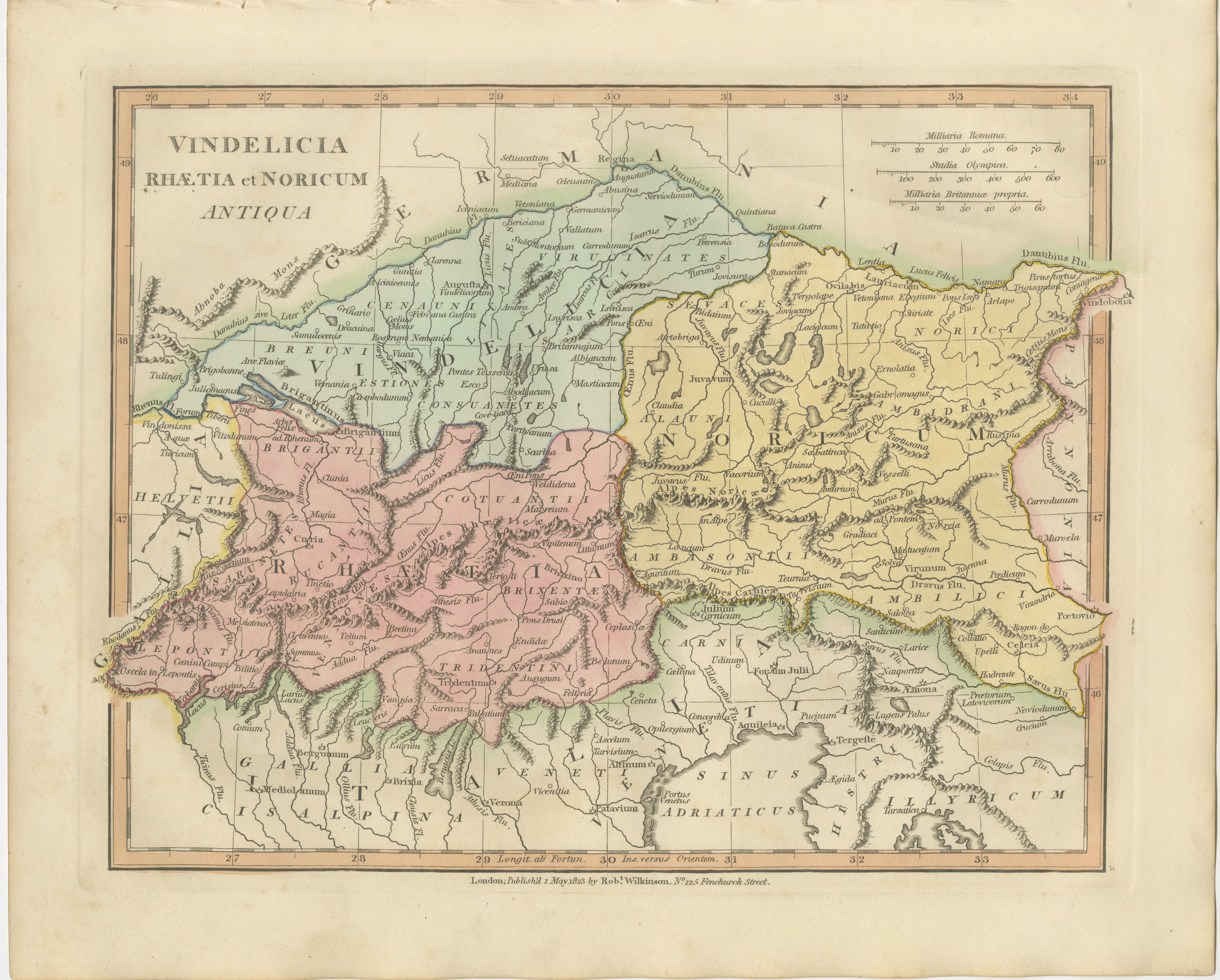
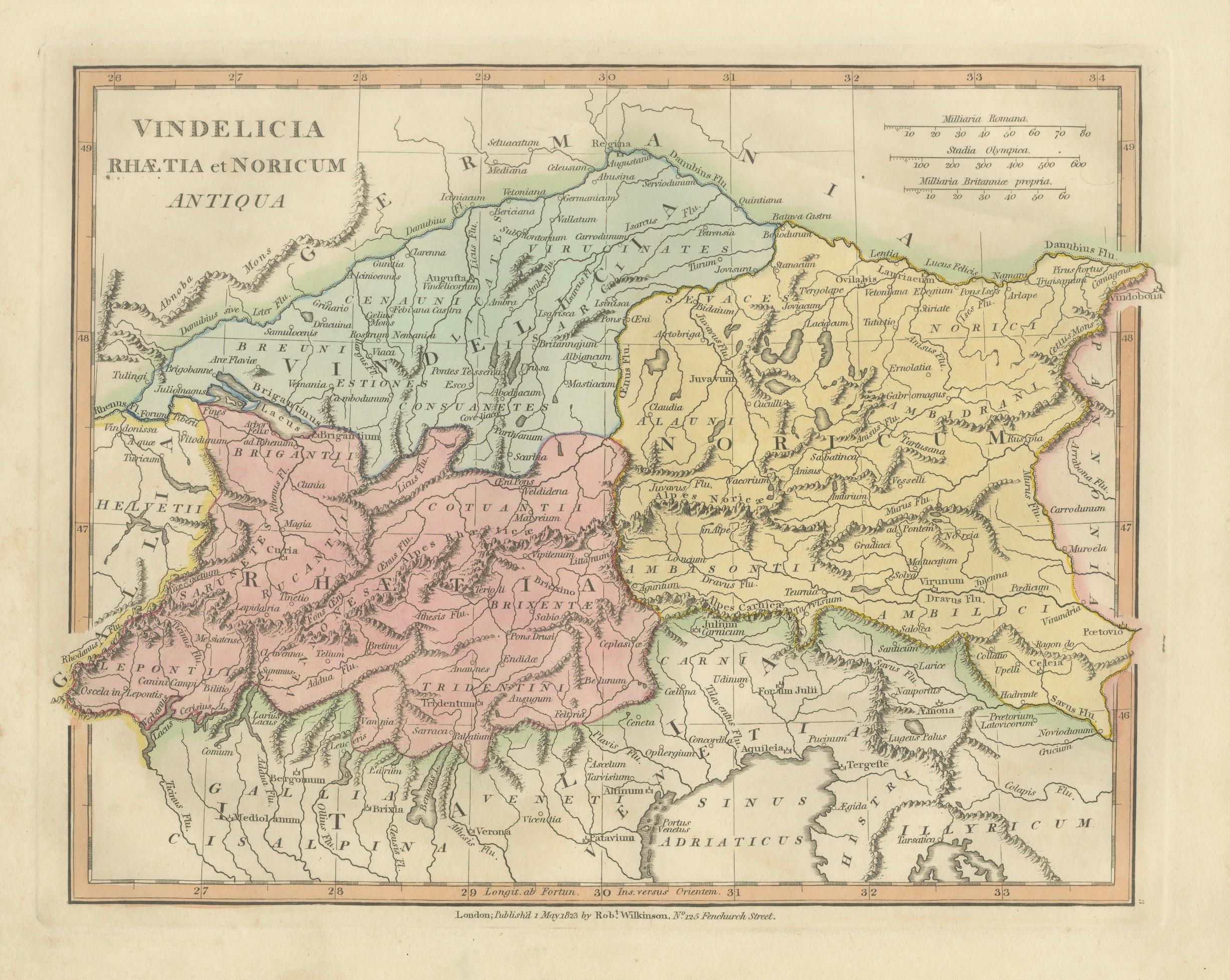
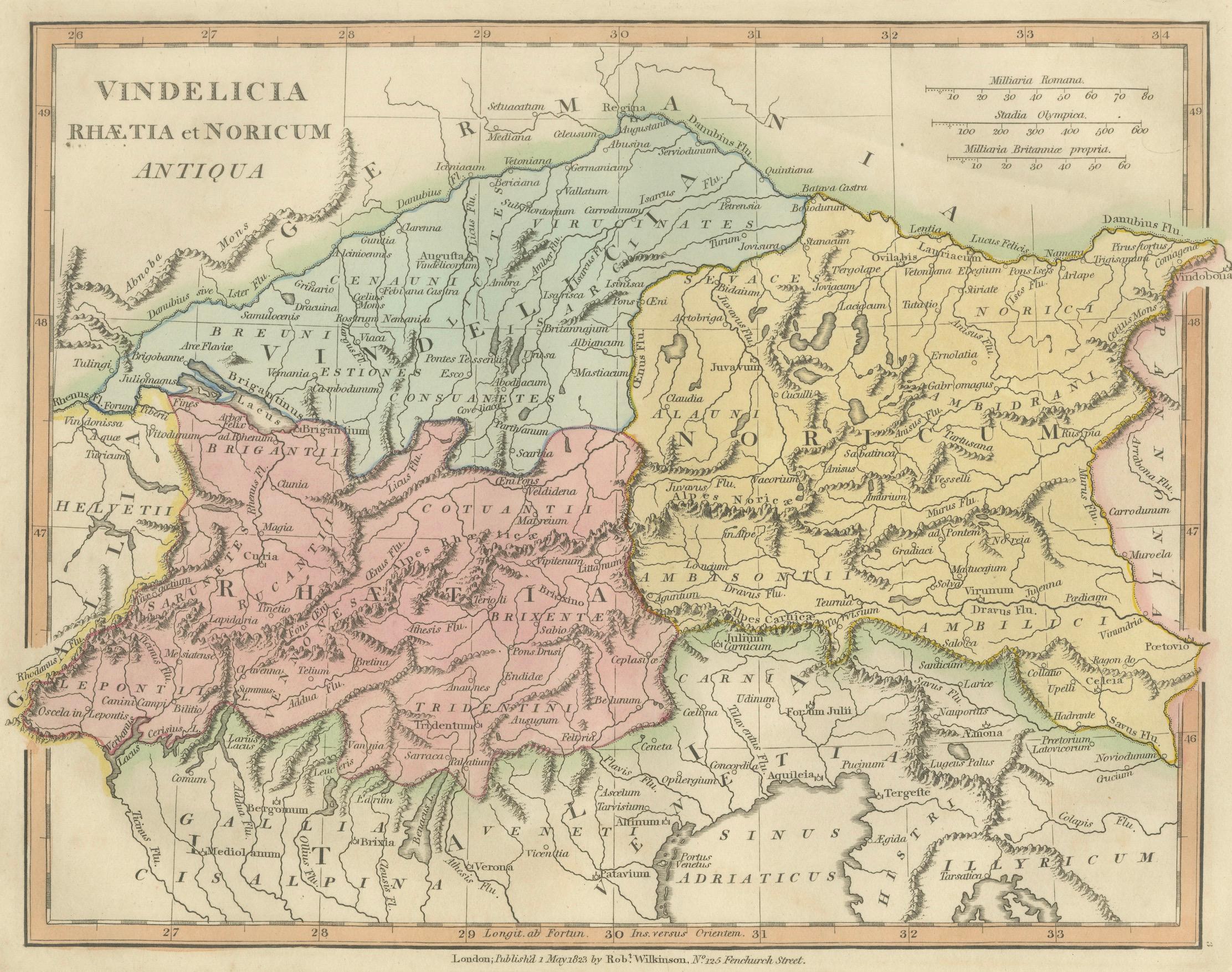
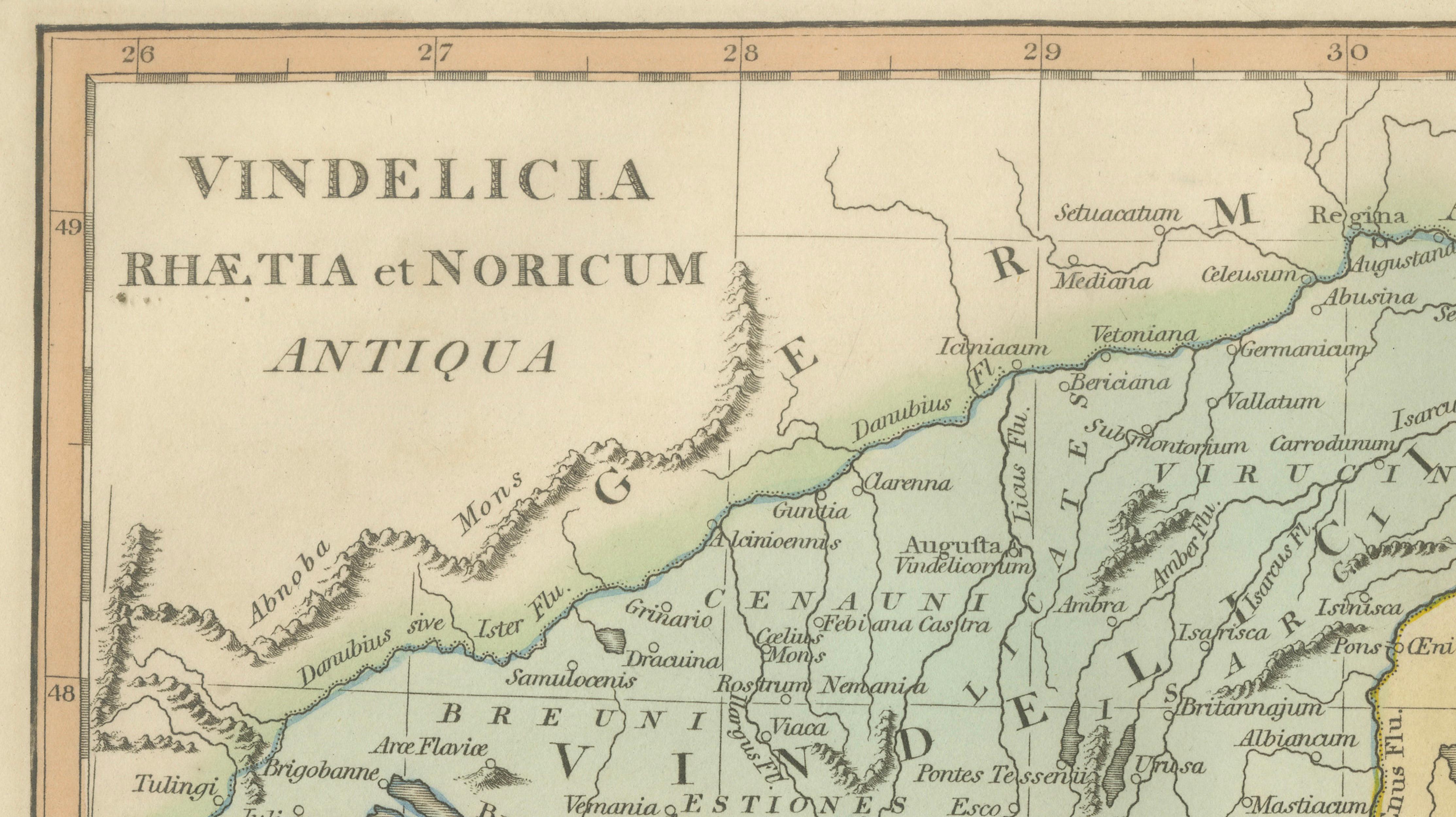
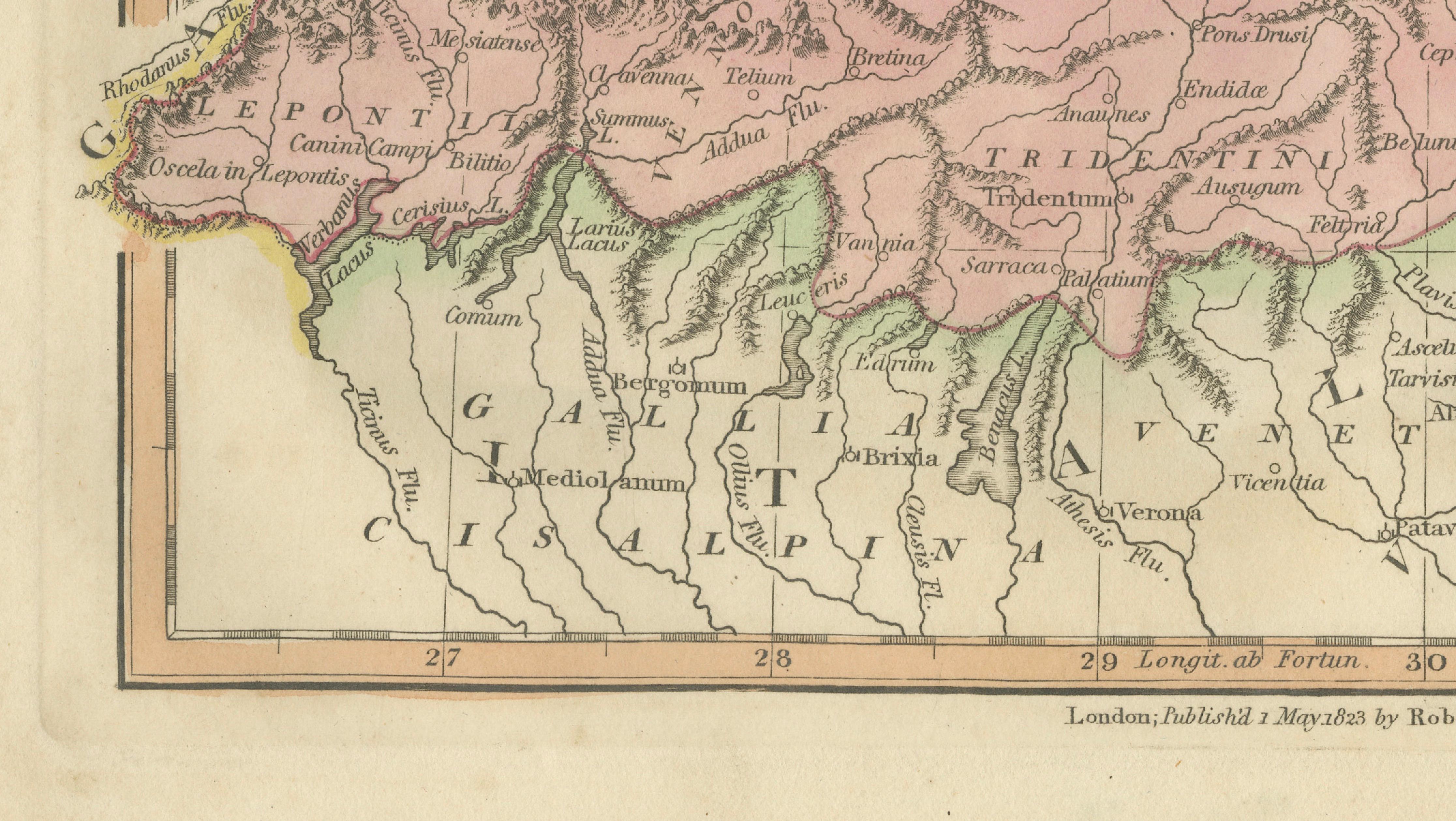
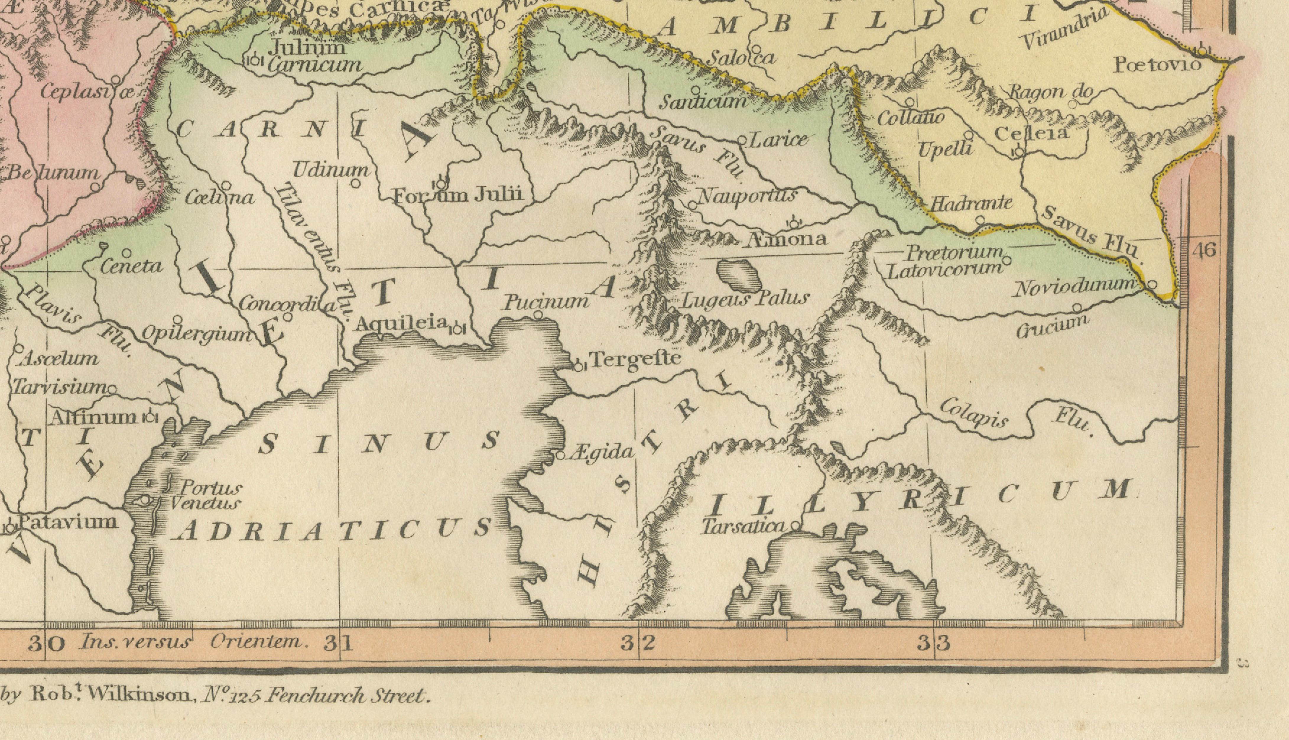
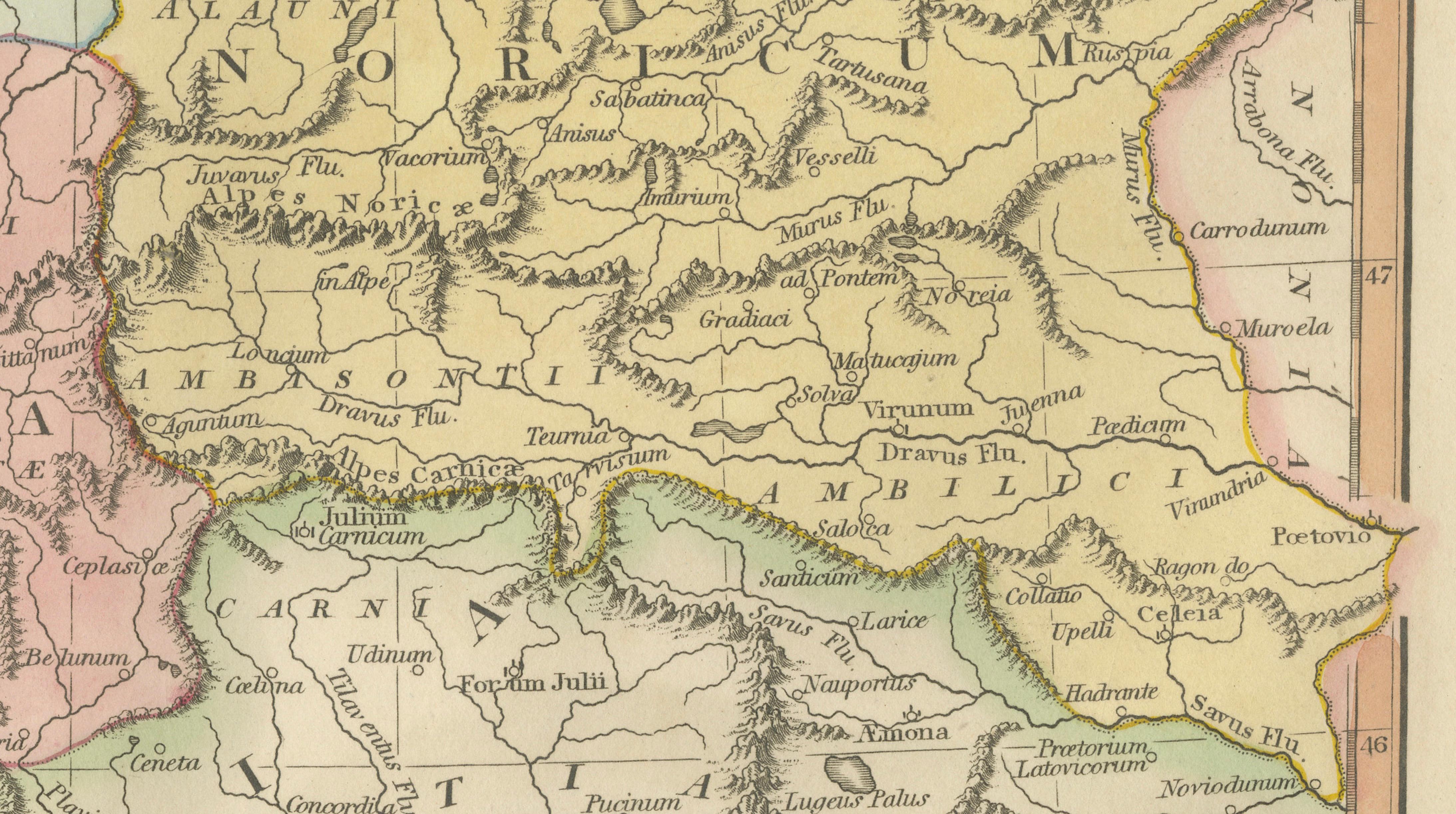
This finely engraved antique map depicts the Roman provinces of Vindelicia, Raetia, and Noricum, illustrating the Alpine frontier of the Roman Empire across parts of present-day Switzerland, southern Germany, Austria, and northern Italy. Published in London in 1823 by the English cartographer Robert Wilkinson, the map belongs to his celebrated series of classical historical maps visualizing the geography of the ancient world through early nineteenth-century scholarship.
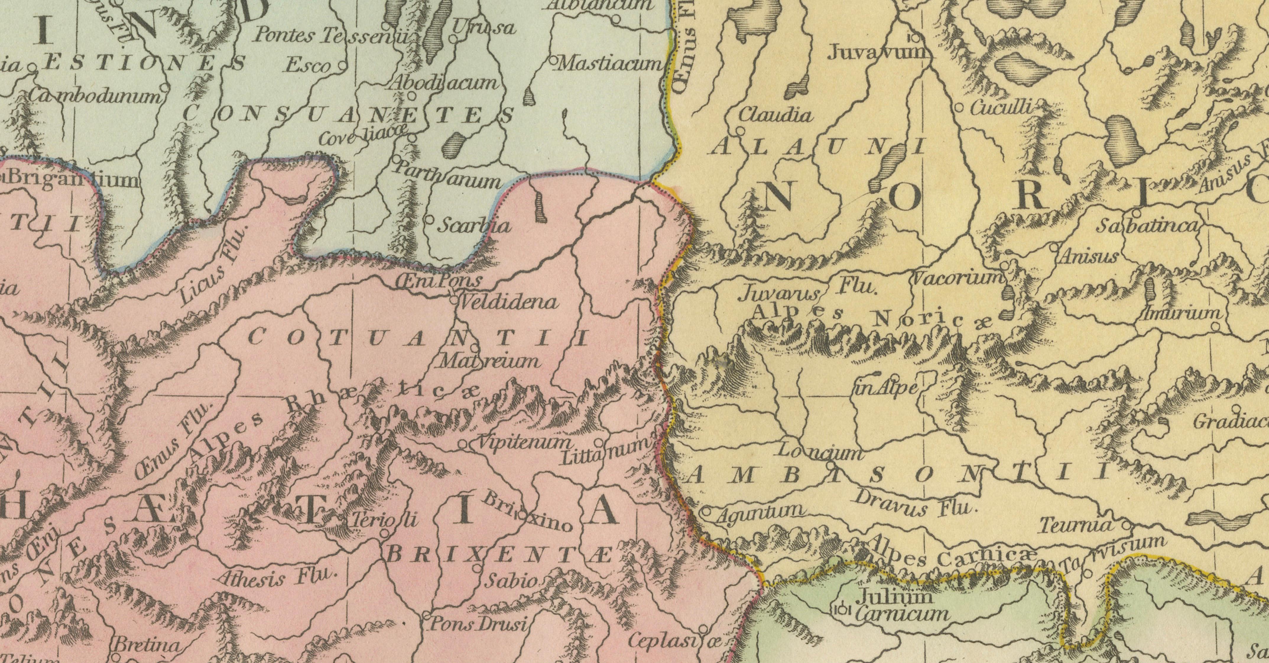
The composition focuses on the complex mountainous regions north and south of the Alps, where Roman administration connected Italy with the Danubian provinces. Carefully engraved relief shading conveys the dramatic Alpine terrain, while rivers, passes, and settlements reveal the strategic importance of this corridor for military movement, commerce, and imperial communication.
Provincial boundaries are distinguished with delicate original hand coloring, separating Raetia, Noricum, and Vindelicia in soft pastel tones characteristic of Wilkinson’s atlas work. Numerous Roman towns and routes appear throughout the map, reflecting the dense infrastructure that supported Rome’s northern defenses. The Danube River forms a prominent northern boundary, emphasizing the empire’s frontier system against Germanic territories.
Wilkinson’s classical atlas maps were designed during a period of renewed European fascination with antiquity, archaeology, and classical education. Combining scholarly interpretation with refined decorative engraving, they remain highly desirable today both as historical documents and as elegant wall pieces suited to traditional and contemporary interiors alike.
The balanced layout, subtle coloring, and strong geographic identity of this sheet make it particularly appealing for collectors interested in Roman provincial history, Alpine geography, or early nineteenth-century English cartography.
Condition: Good antique condition overall. Light age-related toning and scattered spotting consistent with age. Minor handling wear confined mainly to the margins. Plate mark visible.
Framing tips: Particularly striking in a dark walnut or ebonized frame with an ivory or warm cream mat. A slightly wider mat enhances the mountainous engraving detail and creates a calm museum-style presentation.
Technique: Copperplate engraving with original hand color
Maker: Robert Wilkinson, London, 1823
Keywords:
Vindelicia, Raetia, Noricum, Alpes, Danubius River, Roman Alps, Alpine provinces Rome, Helvetii, Germania Magna, Brigantium, Augusta Vindelicorum, Curia, Tridentum, Brenner Pass region, Roman frontier Alps, Northern Italy antiquity, Austria Roman provinces, Switzerland ancient geography, Danube frontier, Roman Empire Europe, Wilkinson Atlas 1823, Classical antiquity map, Alpine Roman roads