About this sheet
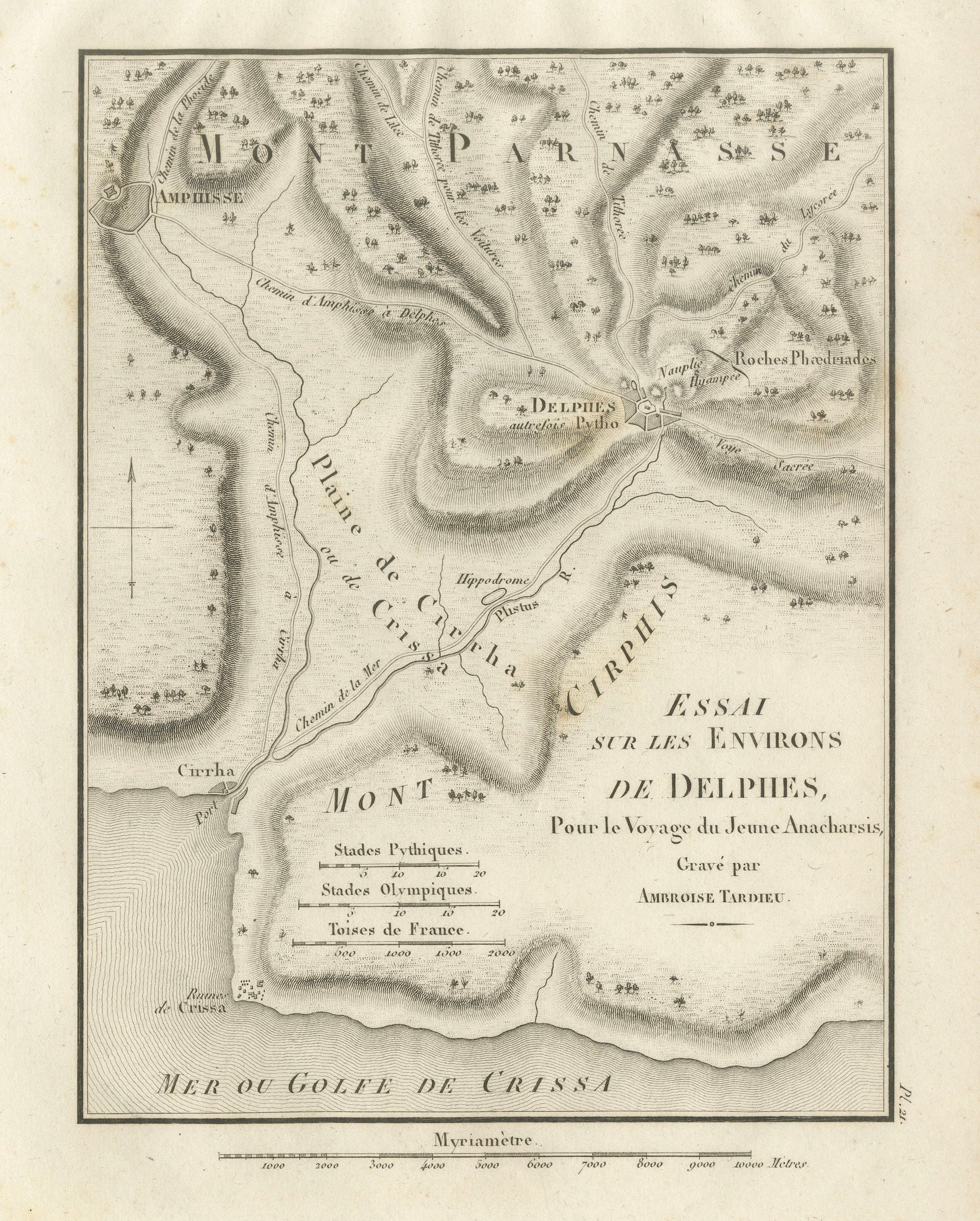
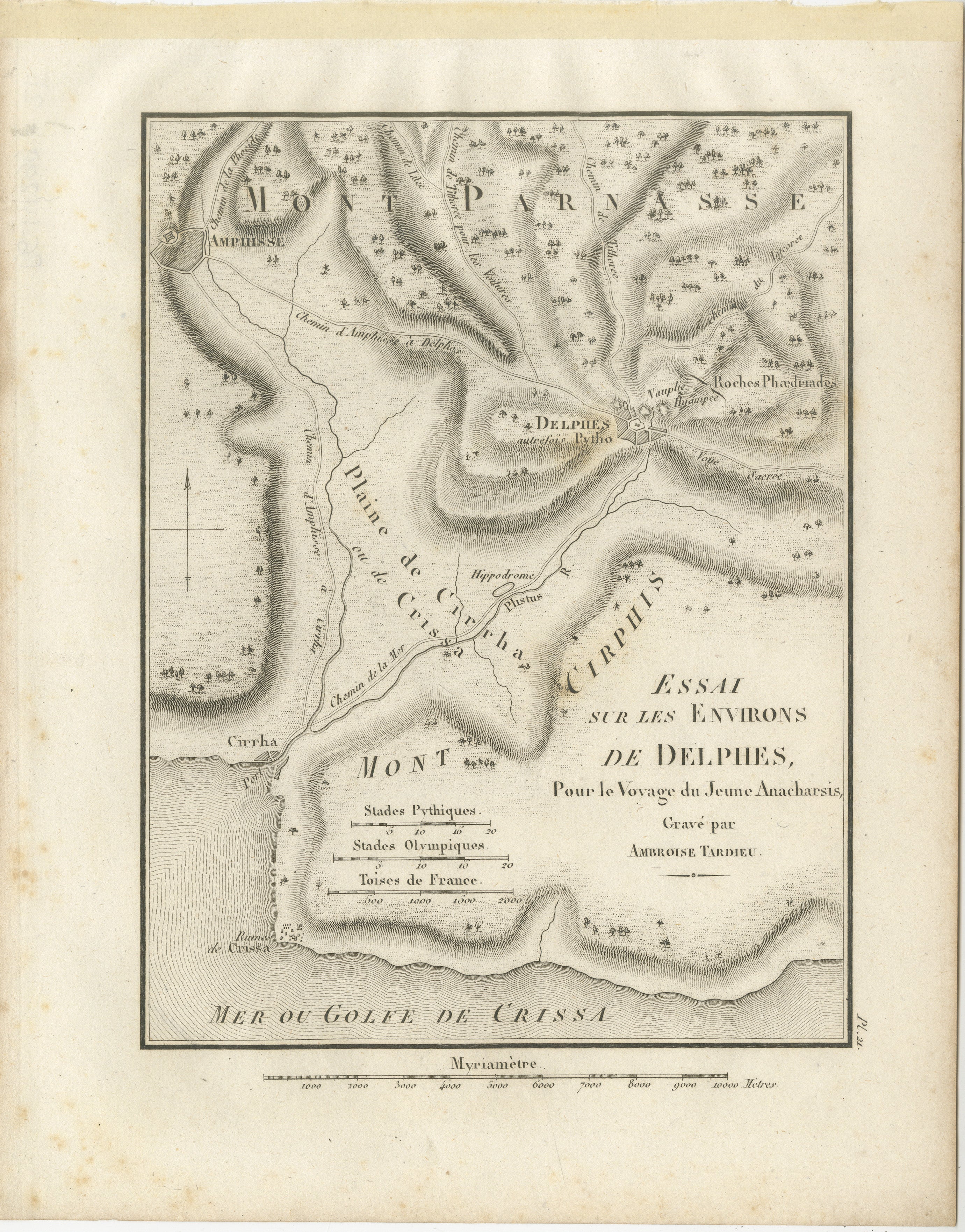
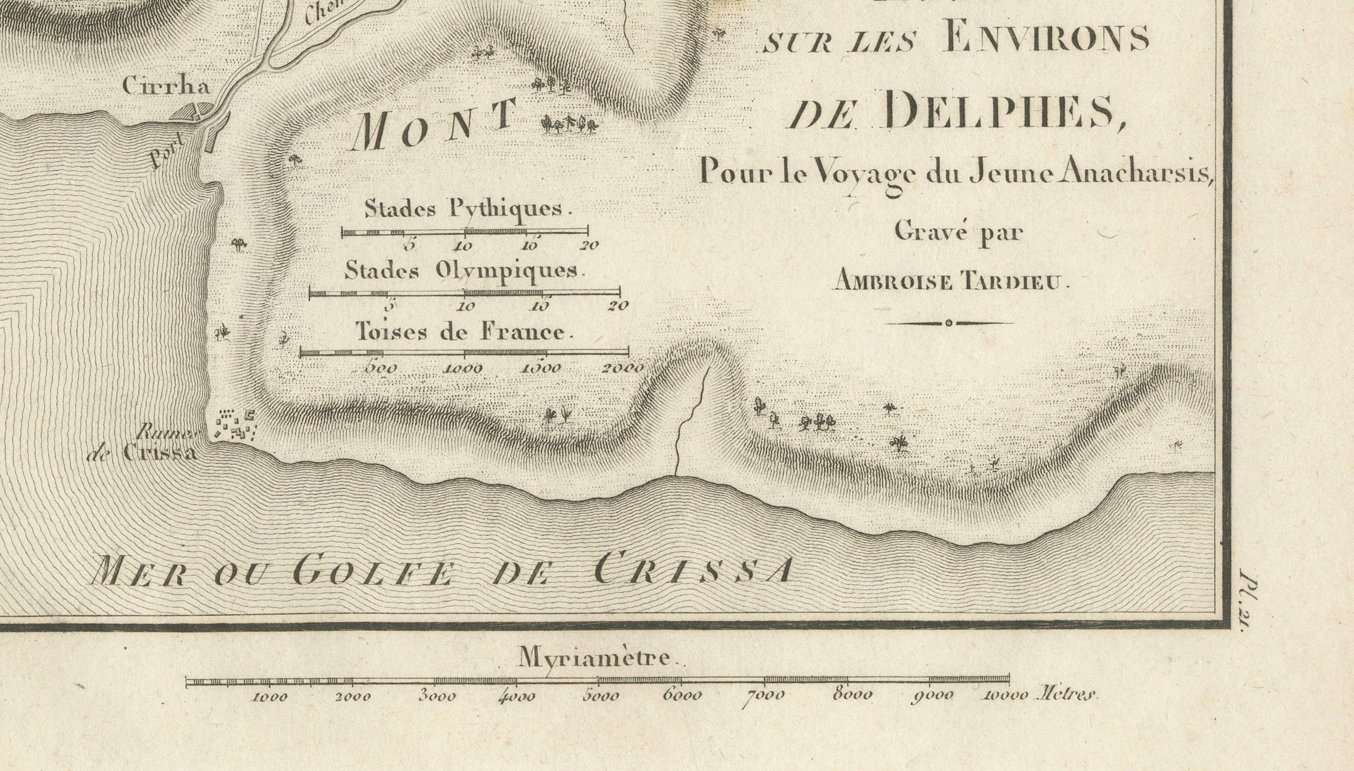
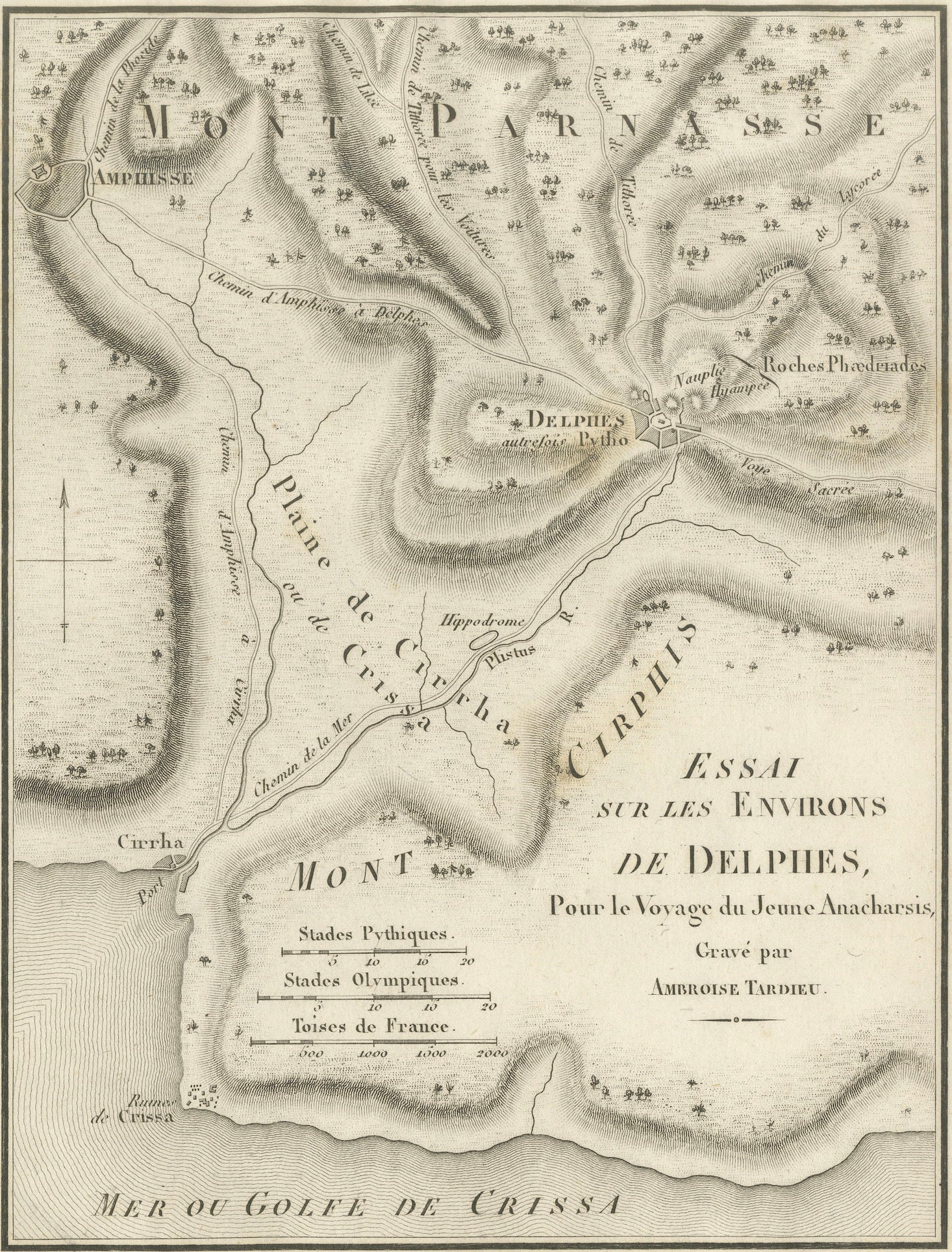
Original antique engraved map of Delphi and its surroundings in ancient Greece, engraved by Ambroise Tardieu for the atlas accompanying Jean-Jacques Barthélemy’s Voyage du jeune Anacharsis en Grèce.
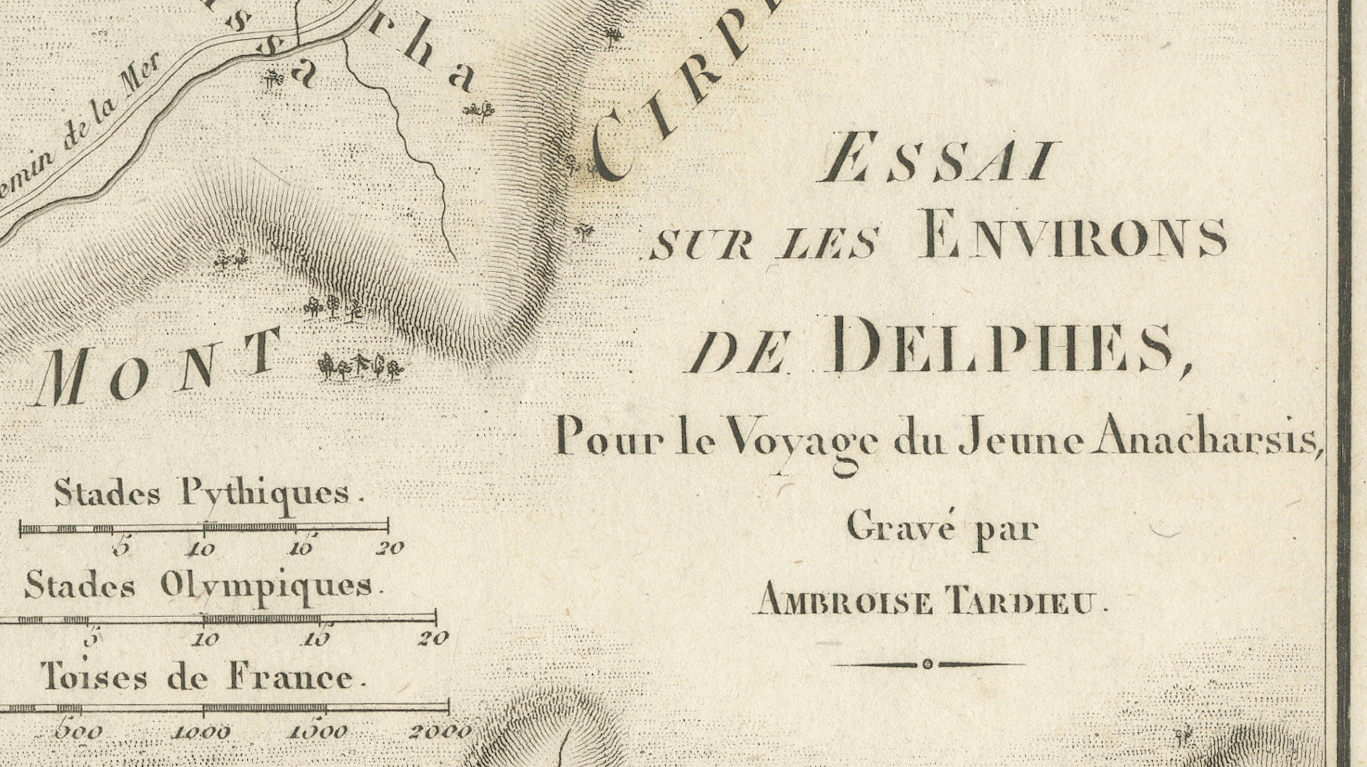
Titled “Essai sur les Environs de Delphes,” the map provides a detailed topographical representation of one of the most important sacred landscapes of the ancient Greek world.
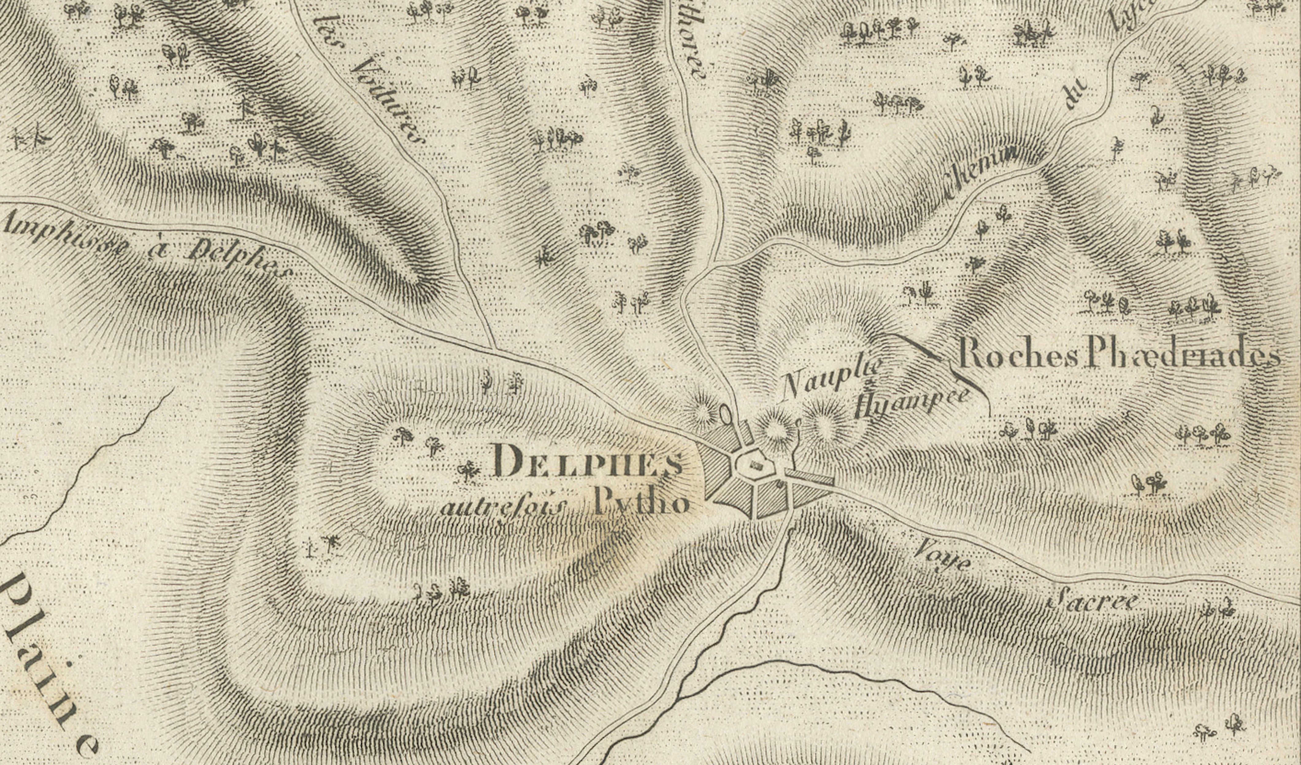
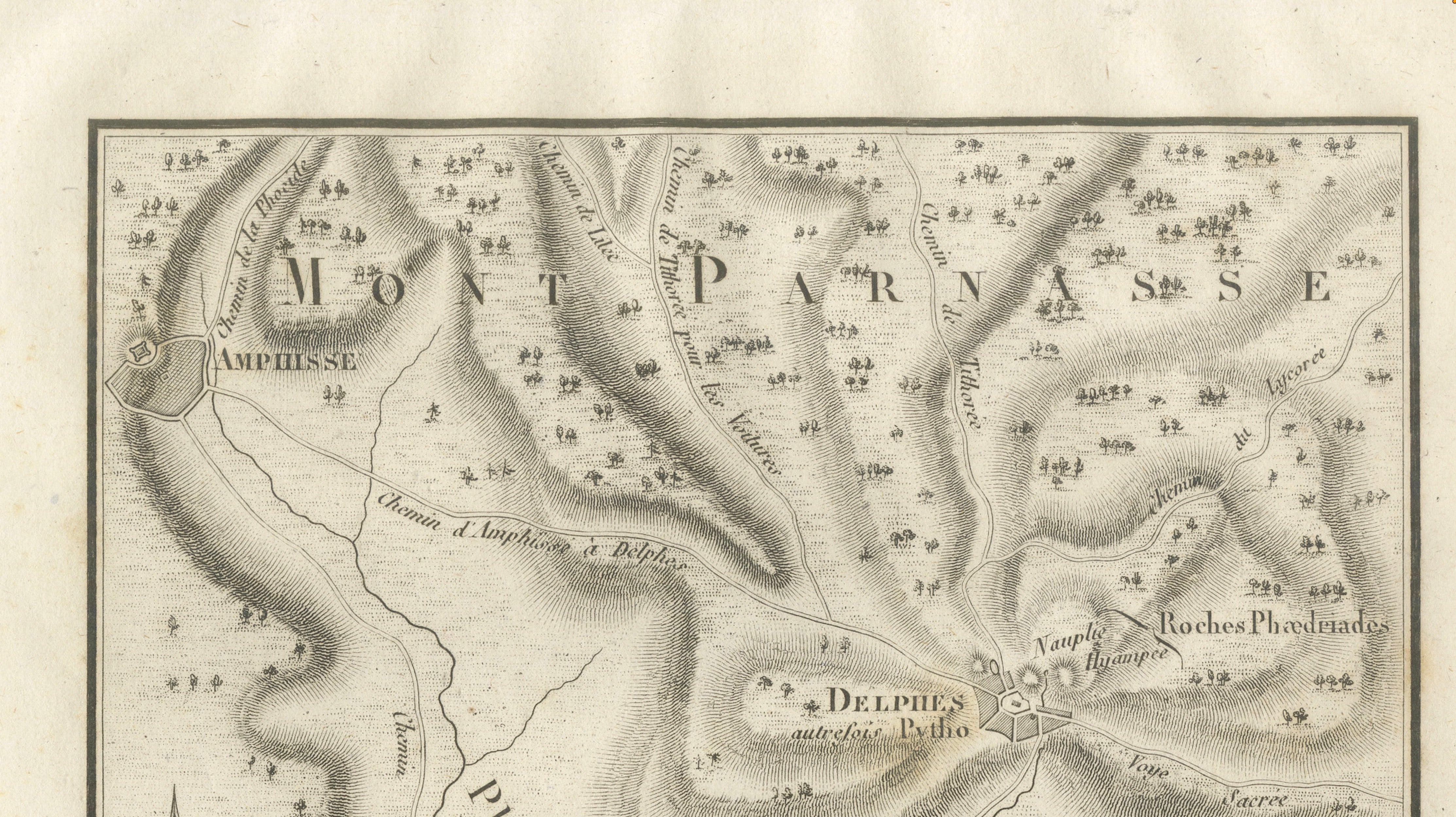
Delphi, identified on the map as “Delphes, autrefois Pytho,” occupies a dramatic position on the slopes of Mount Parnassus. The engraving shows the mountainous terrain surrounding the sanctuary together with ancient roads, rivers, settlements and geographical landmarks.
The map extends from Amphissa and Mount Parnassus in the north to the Plain of Crissa and the Gulf of Crissa in the south. Cirrha, the ancient harbor serving Delphi, is shown on the coast, while the historic route between Cirrha and Delphi can be followed inland through the mountainous landscape.
Delphi was regarded by the ancient Greeks as the center of the world and was home to the famous sanctuary and Oracle of Apollo. Pilgrims, rulers and representatives from across the Greek world traveled there to consult the Pythia, making Delphi one of antiquity’s most influential religious centers.
Fine engraved hachuring gives considerable depth to Mount Parnassus and the surrounding valleys, while small pictorial trees, roads and waterways add decorative detail.
An especially interesting map for collectors of Delphi, ancient Greece, classical mythology and archaeological subjects.
Creator / Engraver: Ambroise Tardieu
Title: Essai sur les Environs de Delphes
Publication: Paris
Plate: Pl. 21
Subject: Delphi, Mount Parnassus and the Gulf of Crissa, Greece
Condition:
Good antique condition with general age toning, scattered foxing and occasional small stains and marks. Old mounting or tape residue is visible along the upper margin. Some discoloration and foxing are present in the outer margins. The engraved image remains strong, clear and highly detailed. Please study the photographs carefully as they form an important part of the condition description.
Original antique map. Not a modern reproduction.
Sold unframed. Any framed or interior images shown are for presentation and inspiration only.