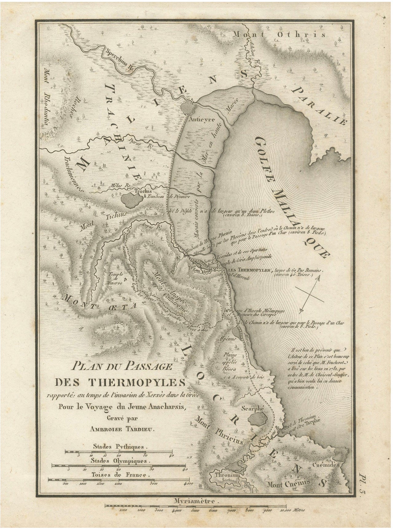
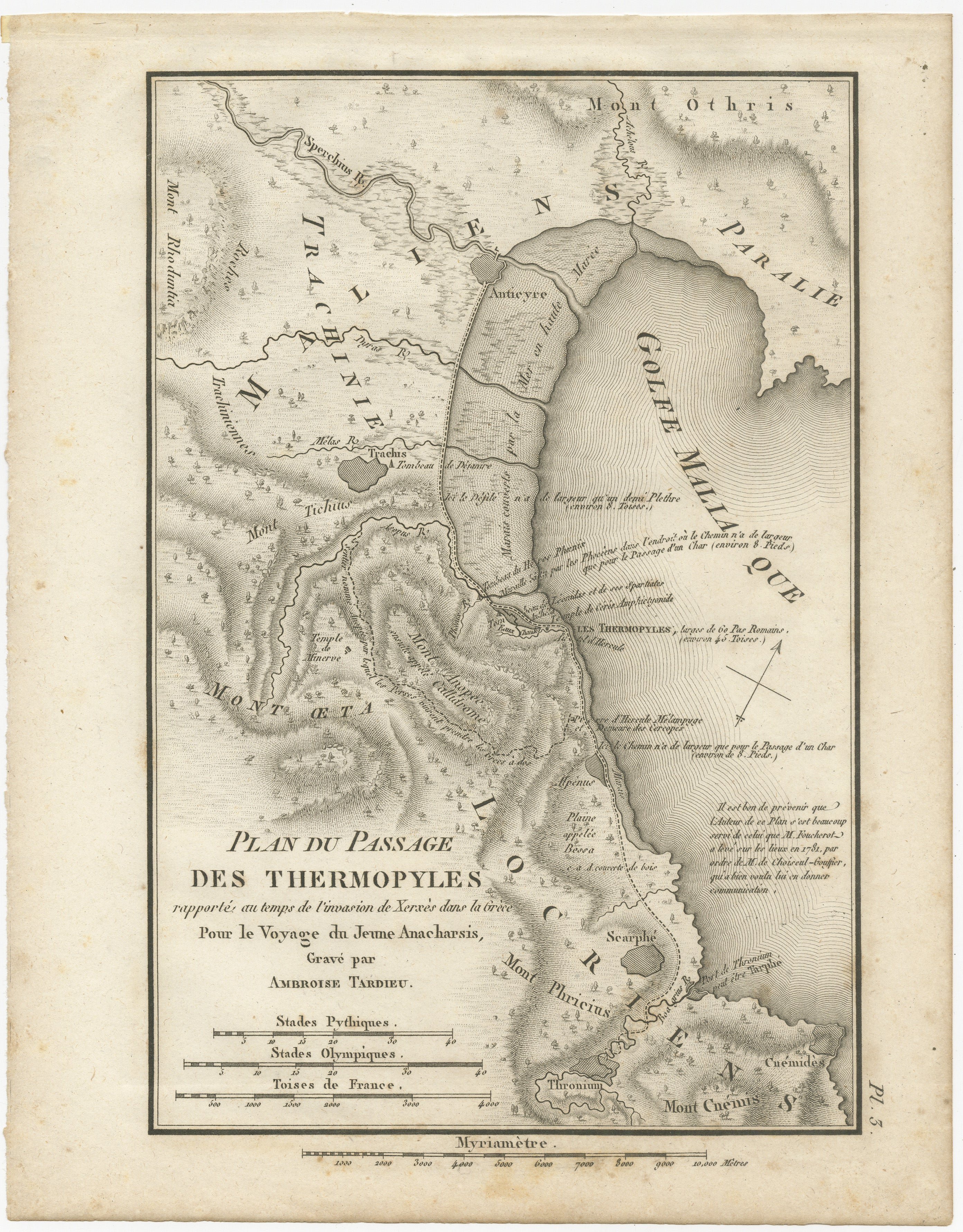
Antique Map of the Pass of Thermopylae by Ambroise Tardieu, 1825
€ 289
Original antique · The actual sheet photographed · Certificate of authenticity on request · Sold unframed · Worldwide shipping from € 15 (rates)
Date
1825
Mapmaker / artist
Ambroise Tardieu (1788–1841)
Publisher
Étienne Ledoux
Sheet size
24.6 × 19.4 cm (9.7 × 7.6 in)
Condition
Good
Reference
BG-14299-4
What the condition grades mean
Excellent
Bright and clean, with no faults worth mentioning.
Very good
Only light signs of age, such as faint toning.
Good
Normal signs of age for a sheet of this period: toning, some foxing, small marks or neat old repairs.
Fair
Clear faults such as staining, tears or repairs, priced to match.
Every fault we see is written in the condition note, and the whole sheet is shown uncropped in the photos.
Condition
Wear consistent with age and use. Good condition considering its age. Light age toning, scattered foxing, and minor handling wear. Please study the photographs carefully as they form part of the condition description.
About this sheet
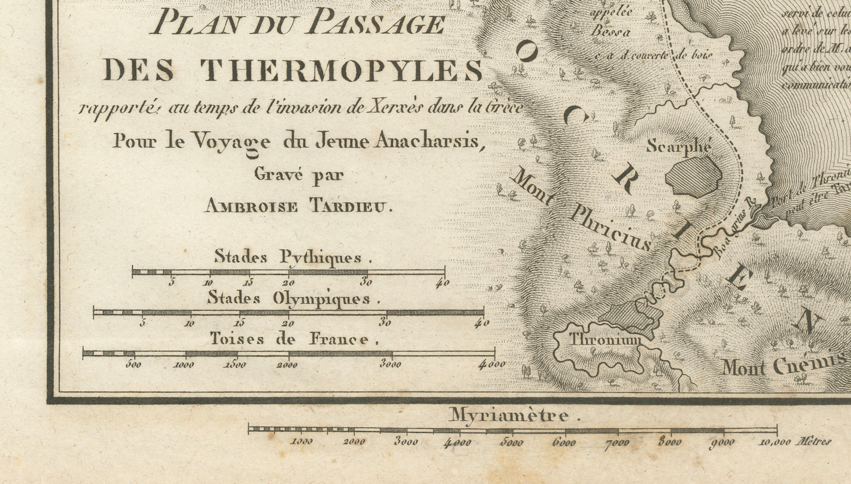
Original antique map titled Plan du Passage des Thermopyles, engraved by Ambroise Tardieu for the atlas accompanying Voyage du Jeune Anacharsis en Grèce by Abbé Jean-Jacques Barthélemy, published in Paris by Étienne Ledoux in 1825.
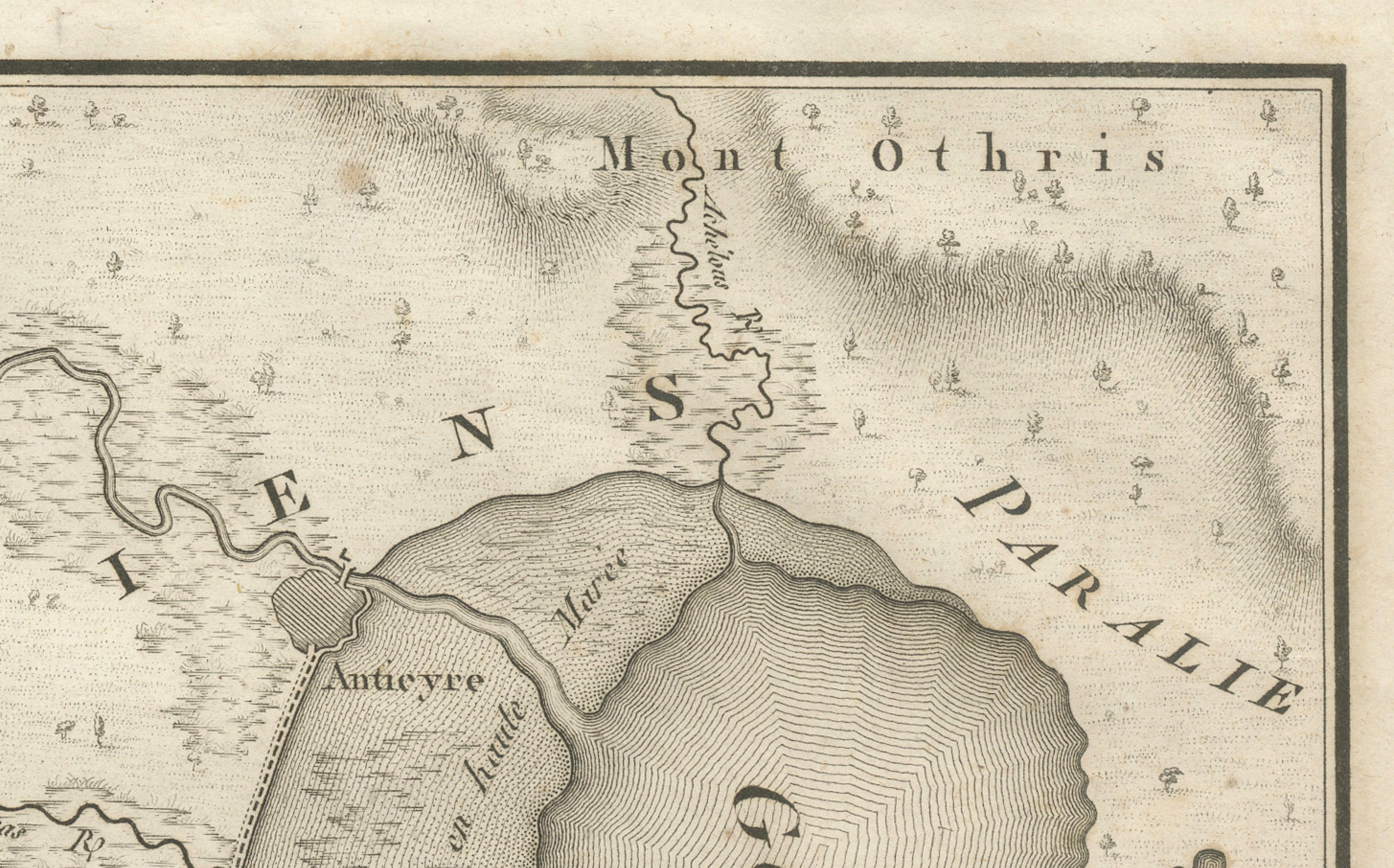
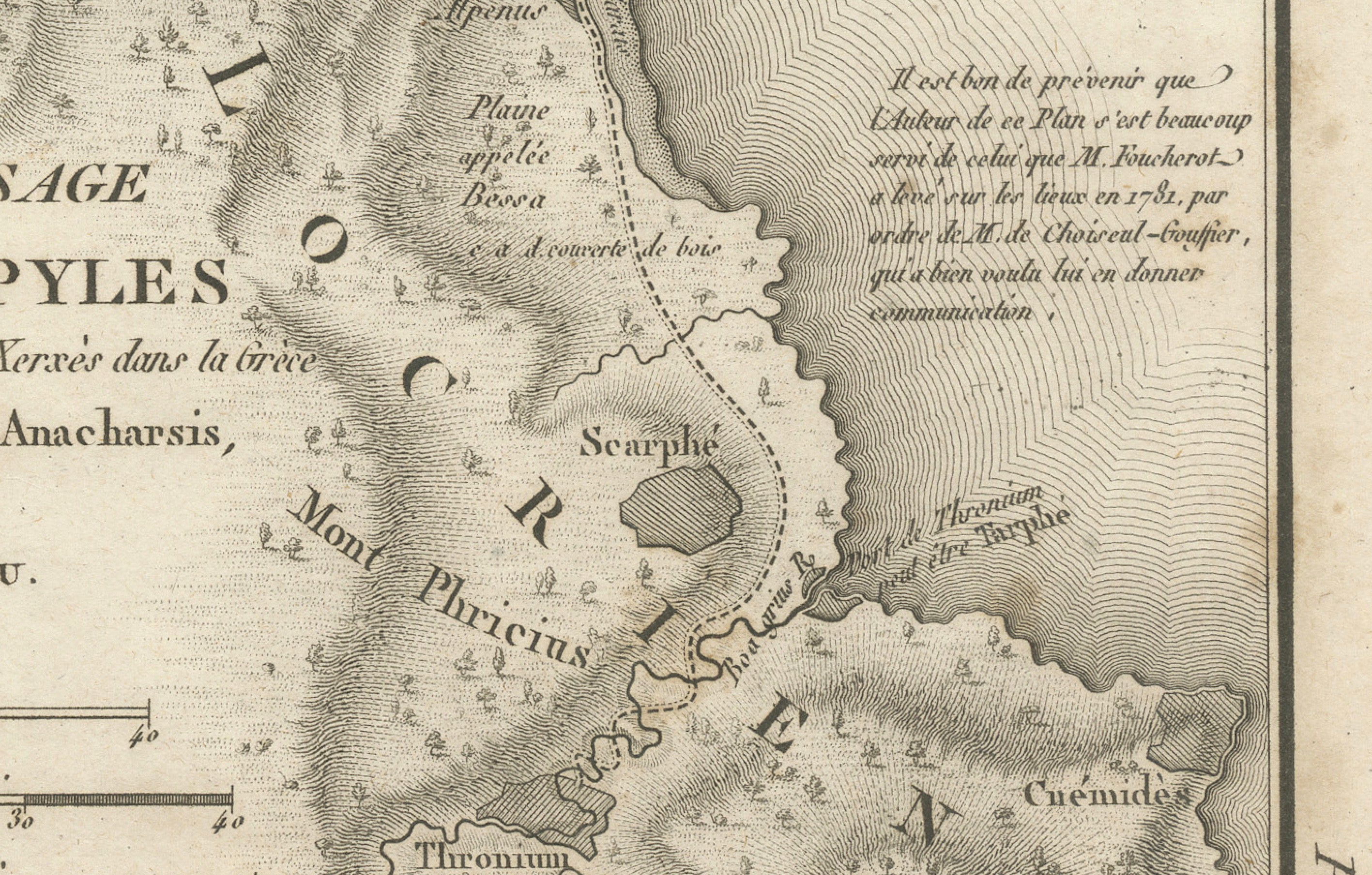
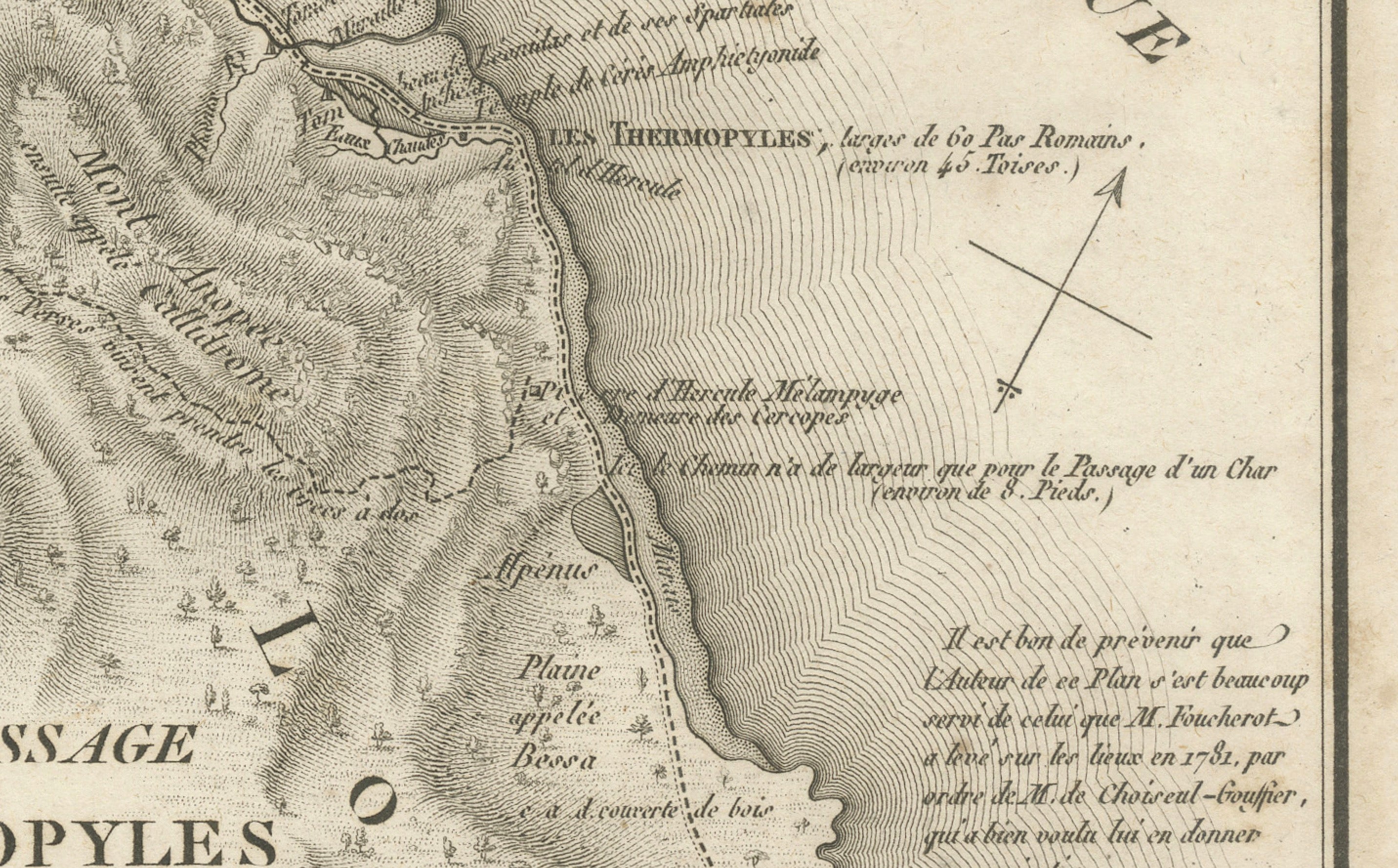
This finely engraved historical map depicts the famous Pass of Thermopylae, one of the most celebrated battlefields of the ancient world. The map illustrates the landscape as it appeared during the invasion of Greece by the Persian king Xerxes in 480 BC, when King Leonidas of Sparta and his small Greek force famously defended the narrow coastal pass against the vastly larger Persian army.
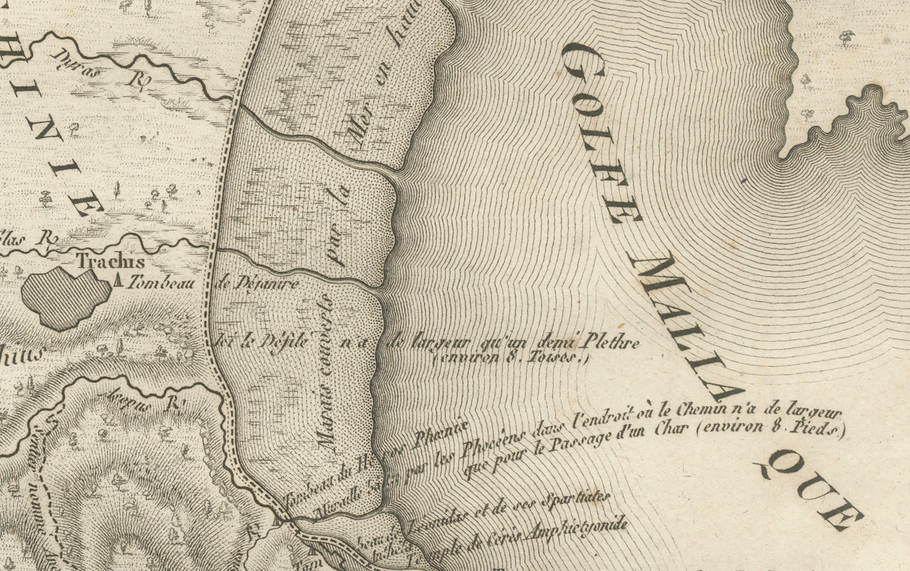
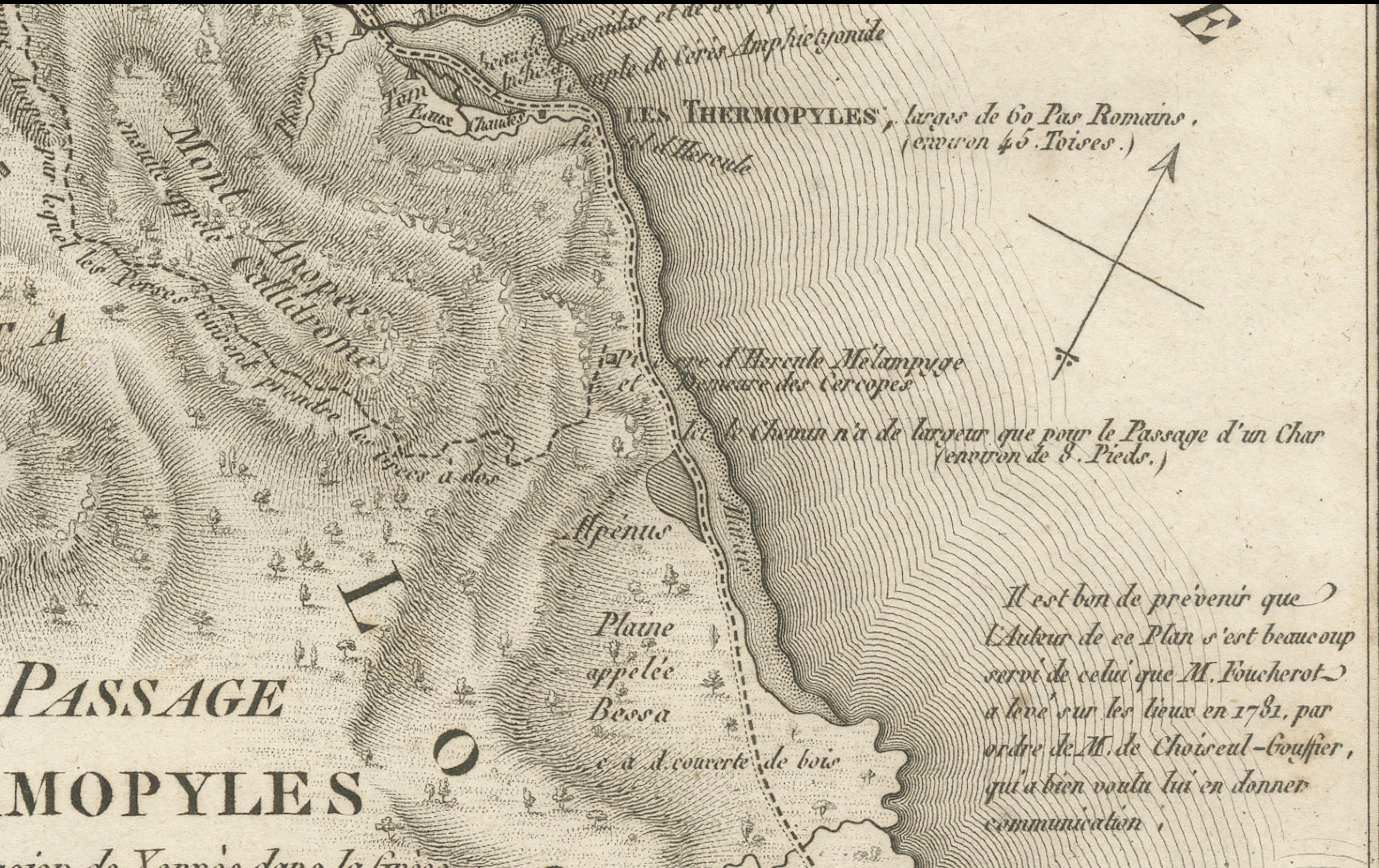
The engraving provides a detailed topographical representation of the region, showing the coastline of the Maliac Gulf, mountain ranges, rivers, roads, fortifications, temples, settlements, and the strategic bottleneck that made Thermopylae one of history's most important military locations. Numerous classical place names and geographical features are carefully identified, making the map both an attractive decorative piece and a valuable historical reference.
Issued as part of the celebrated Voyage du Jeune Anacharsis en Grèce, the atlas combined archaeological scholarship, classical history, and beautifully engraved maps to illustrate the geography of the ancient Greek world. The Thermopylae plan remains one of the most desirable military maps from the series.
Author: Abbé Jean-Jacques Barthélemy
Title: Plan du Passage des Thermopyles
Publication: Voyage du Jeune Anacharsis en Grèce, Atlas
Place of Publication: Paris
Condition: Good condition considering its age. Light age toning, scattered foxing, and minor handling wear. Please study the photographs carefully as they form part of the condition description.
This is an original antique map, not a modern reproduction. Any framed or interior photographs are for display purposes only. The map is sold unframed.