Maps & PrintsBartele Gallery · Langweer
Home / Antique Maps / Europe / Southern Europe

Southern Europe · 19th century

Ancient Phocis, Doris and Locris Map by Ambroise Tardieu, 1825

€ 340

Original antique · The actual sheet photographed · Certificate of authenticity on request · Sold unframed · Worldwide shipping from € 15 (rates)

Date
1825
Technique
Engraving with original outline color on paper
Sheet size
19.6 × 24.7 cm (7.7 × 9.7 in)
Condition
Good
Reference
BG-14299-20
What the condition grades mean
Excellent
Bright and clean, with no faults worth mentioning.
Very good
Only light signs of age, such as faint toning.
Good
Normal signs of age for a sheet of this period: toning, some foxing, small marks or neat old repairs.
Fair
Clear faults such as staining, tears or repairs, priced to match.

Every fault we see is written in the condition note, and the whole sheet is shown uncropped in the photos.

Condition

Wear consistent with age and use. Good antique condition with general age toning, scattered foxing and occasional stains and marks. Foxing and discoloration are more pronounced in the lower margin. Some age-related discoloration is visible along the sheet edges.
About this sheet

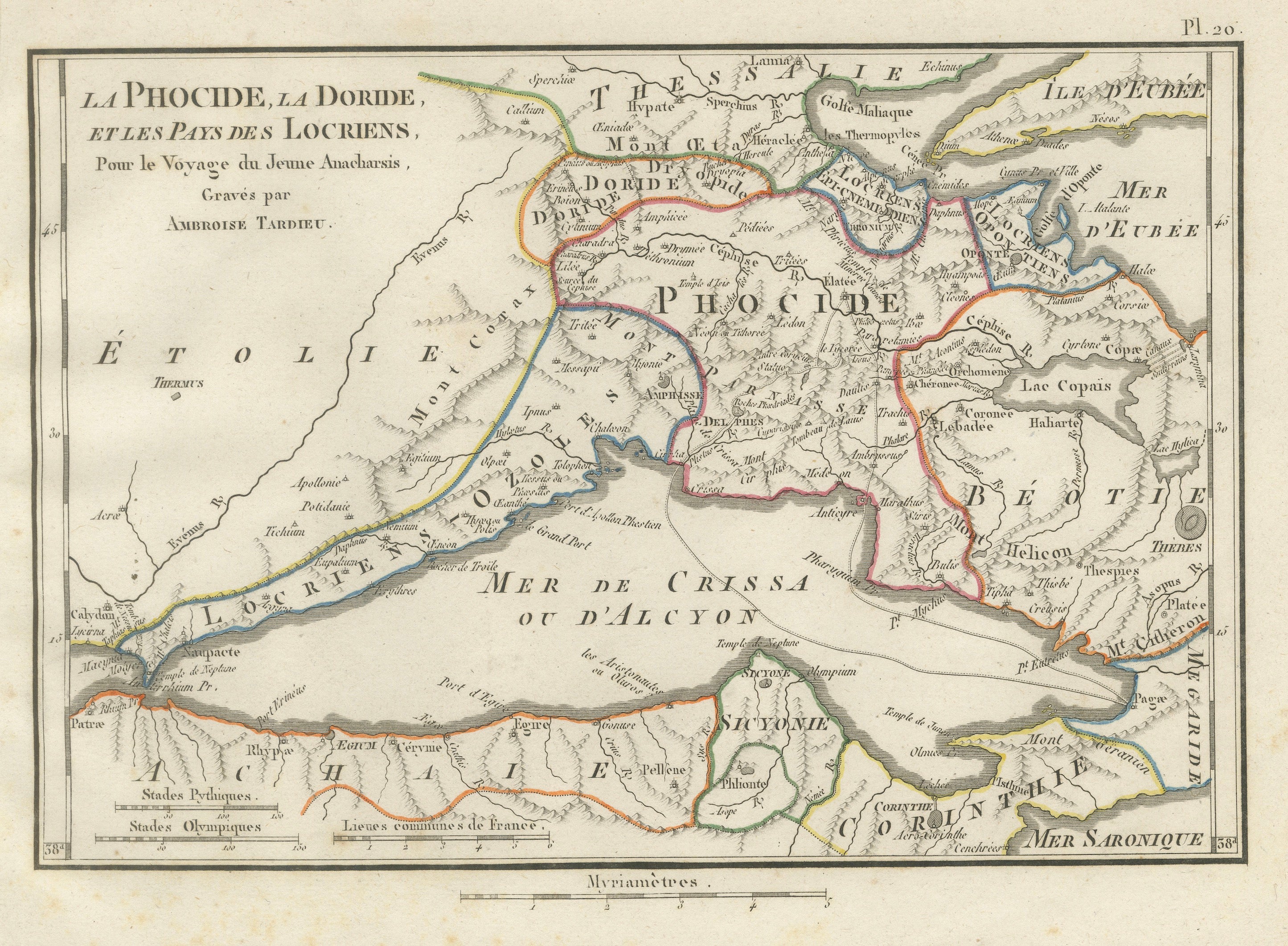
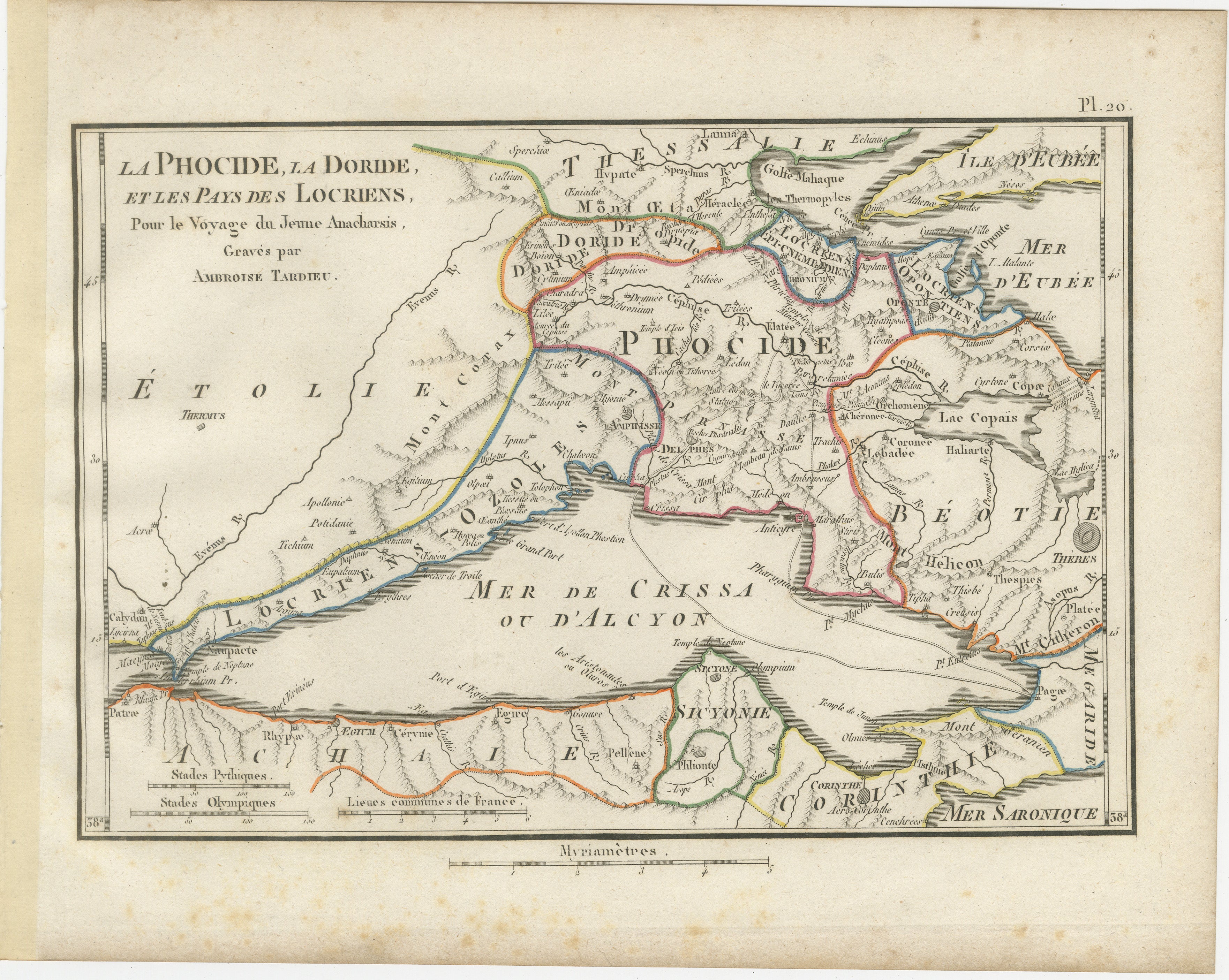
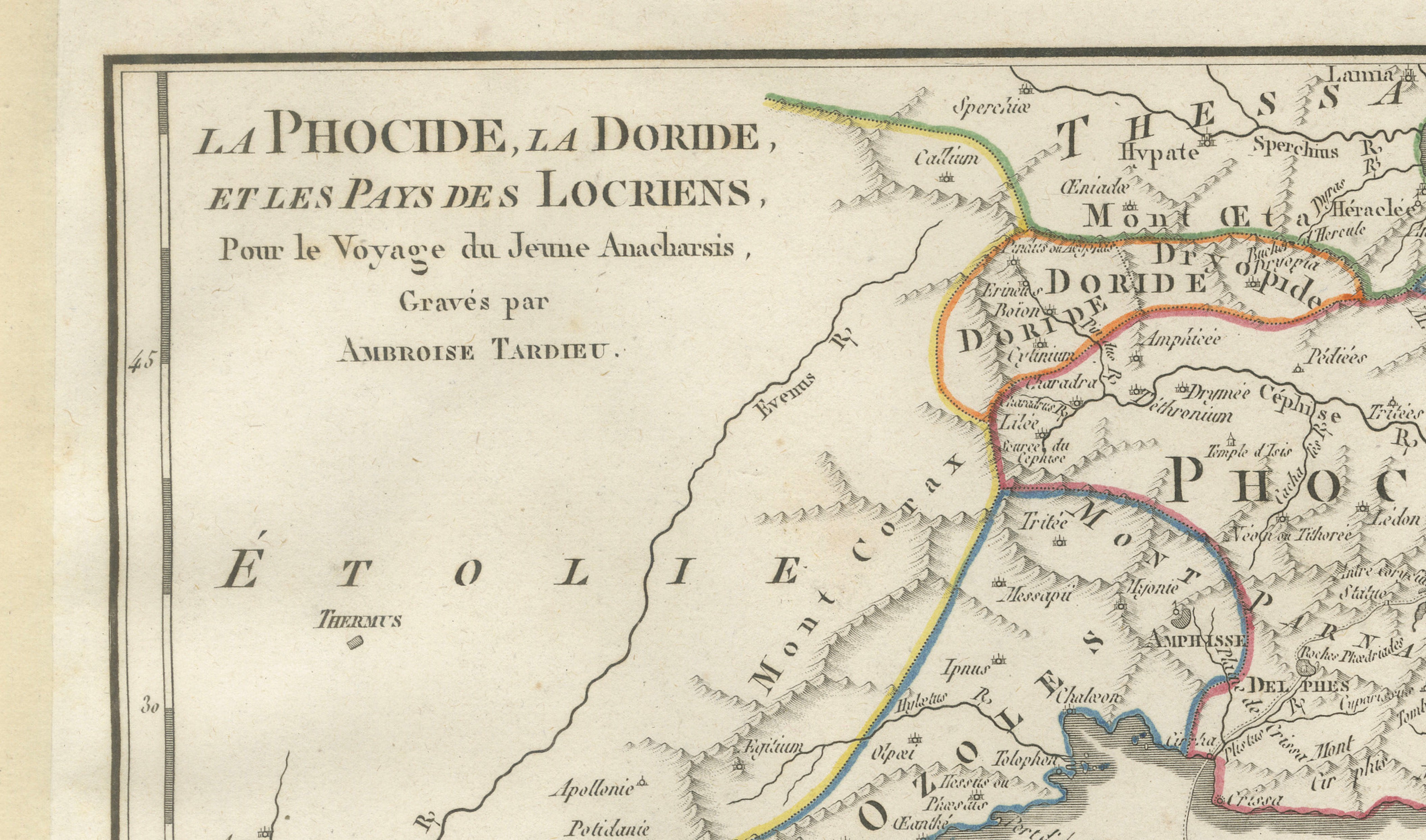
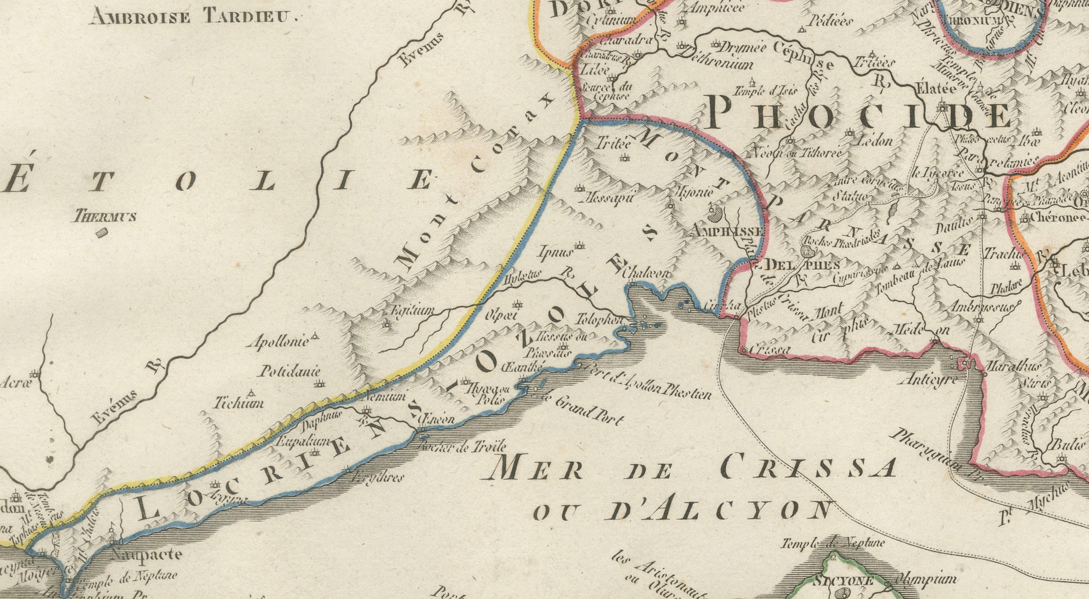
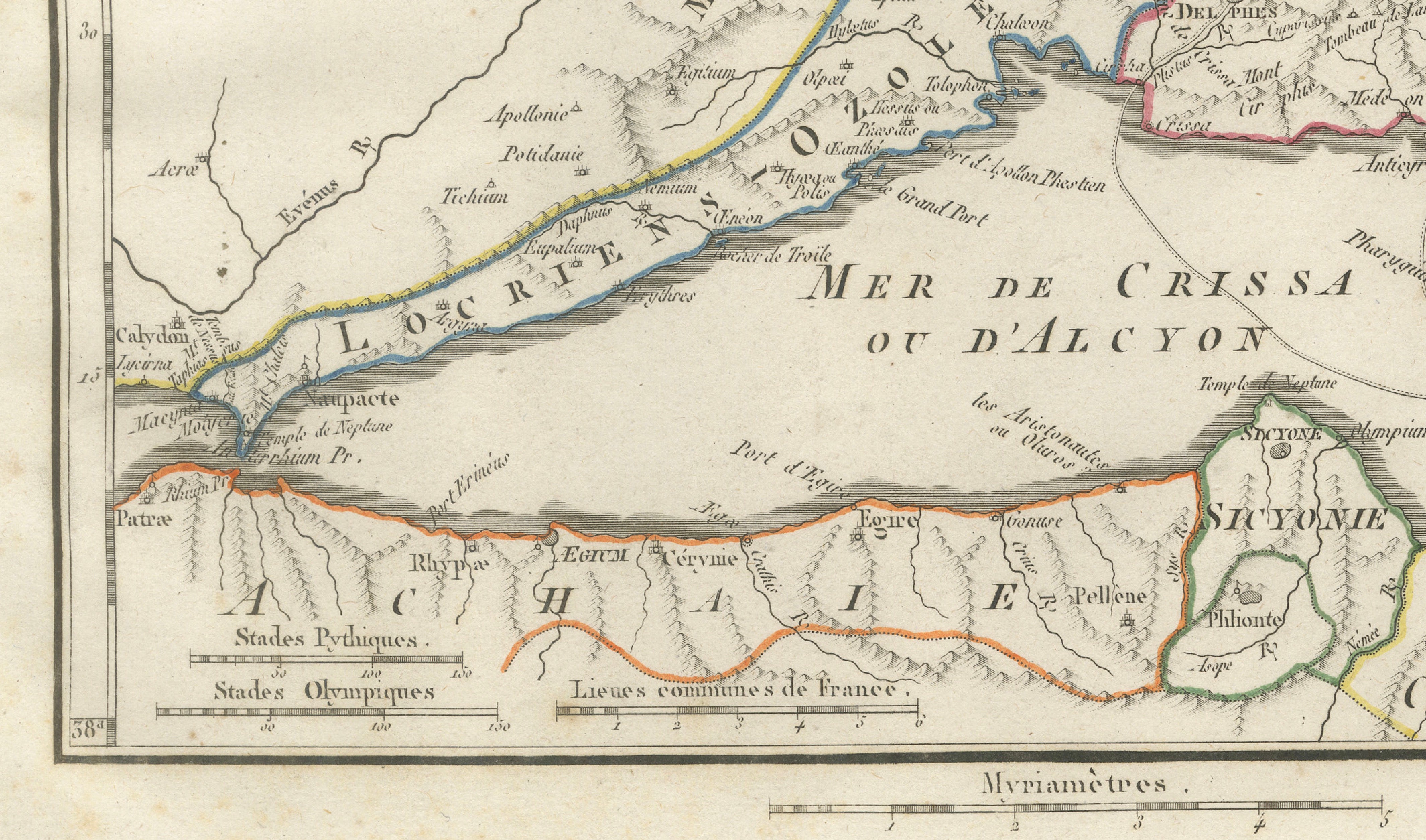
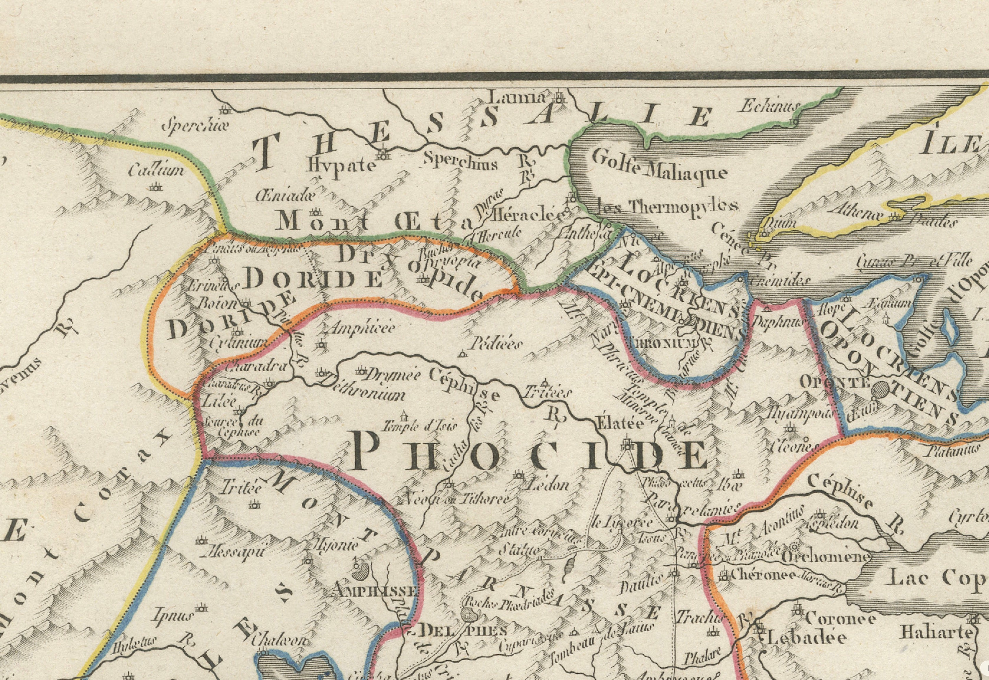
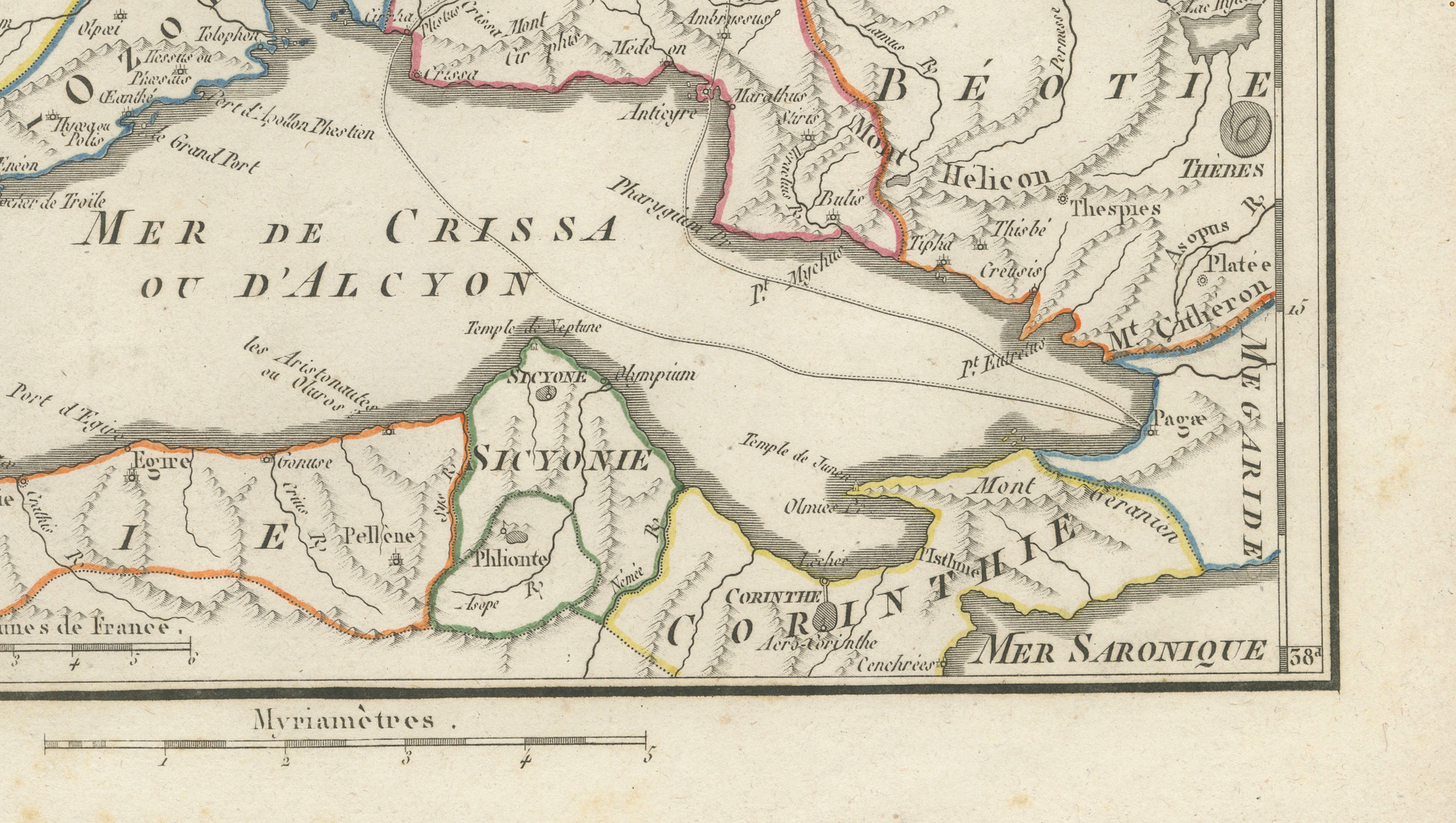
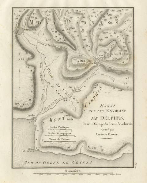
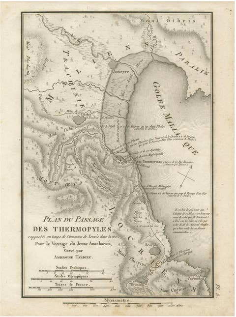
Original antique engraved and hand-colored map of Phocis, Doris and the territories of the ancient Locrians in central Greece, engraved by Ambroise Tardieu for the atlas accompanying Jean-Jacques Barthélemy’s Voyage du jeune Anacharsis en Grèce.

Titled “La Phocide, la Doride, et les Pays des Locriens,” this detailed historical map covers an important part of ancient central Greece, extending from Aetolia and the Corinthian Gulf eastwards through Phocis and Boeotia towards Euboea.

The map is particularly notable for its depiction of Phocis and the region surrounding Delphi, one of the most important religious centers of the ancient Greek world and home to the celebrated Oracle of Apollo. Other locations and regions shown include Doris, Locris, Boeotia, Thebes, Plataea, Thermopylae, Mount Parnassus, Lake Copais, Corinth and parts of Achaea and Euboea.

The famous pass of Thermopylae is identified near the Malian Gulf, giving the map an additional connection to the history of the Greco-Persian Wars and the legendary battle of 480 BC.

Fine engraved mountain ranges, rivers, settlements and ancient sites are complemented by attractive original outline coloring distinguishing the historical territories.

A highly decorative and historically interesting map for collectors of ancient Greece, Delphi, Thermopylae and classical cartography.

Creator / Engraver: Ambroise Tardieu

Title: La Phocide, la Doride, et les Pays des Locriens

Publication: Paris

Plate: Pl. 20

Subject: Phocis, Doris, Locris, Delphi and Central Greece

Condition:
Good antique condition with general age toning, scattered foxing and occasional stains and marks. Foxing and discoloration are more pronounced in the lower margin. Some age-related discoloration is visible along the sheet edges. The original outline coloring remains attractive and the engraved image is strong and detailed. Please study the photographs carefully as they form an important part of the condition description.
Original antique map. Not a modern reproduction.

Sold unframed. Any framed or interior images shown are for presentation and inspiration only.

More from Southern Europe

Ask about this sheet

Ancient Phocis, Doris and Locris Map by Ambroise Tardieu, 1825
1825 · Ref. BG-14299-20 · € 340
We reply by email, usually within one working day.

Your favorites

Saved in this browser. Email the list to yourself to keep it on any device.

We use your email to send this list and, only if you tick the box and confirm, for occasional new arrivals. Every email has an unsubscribe link. Bartele Gallery, the Netherlands.