About this sheet
Turkey in Europe Map – Balkans, Rumelia, Serbia, Bulgaria, Rand McNally
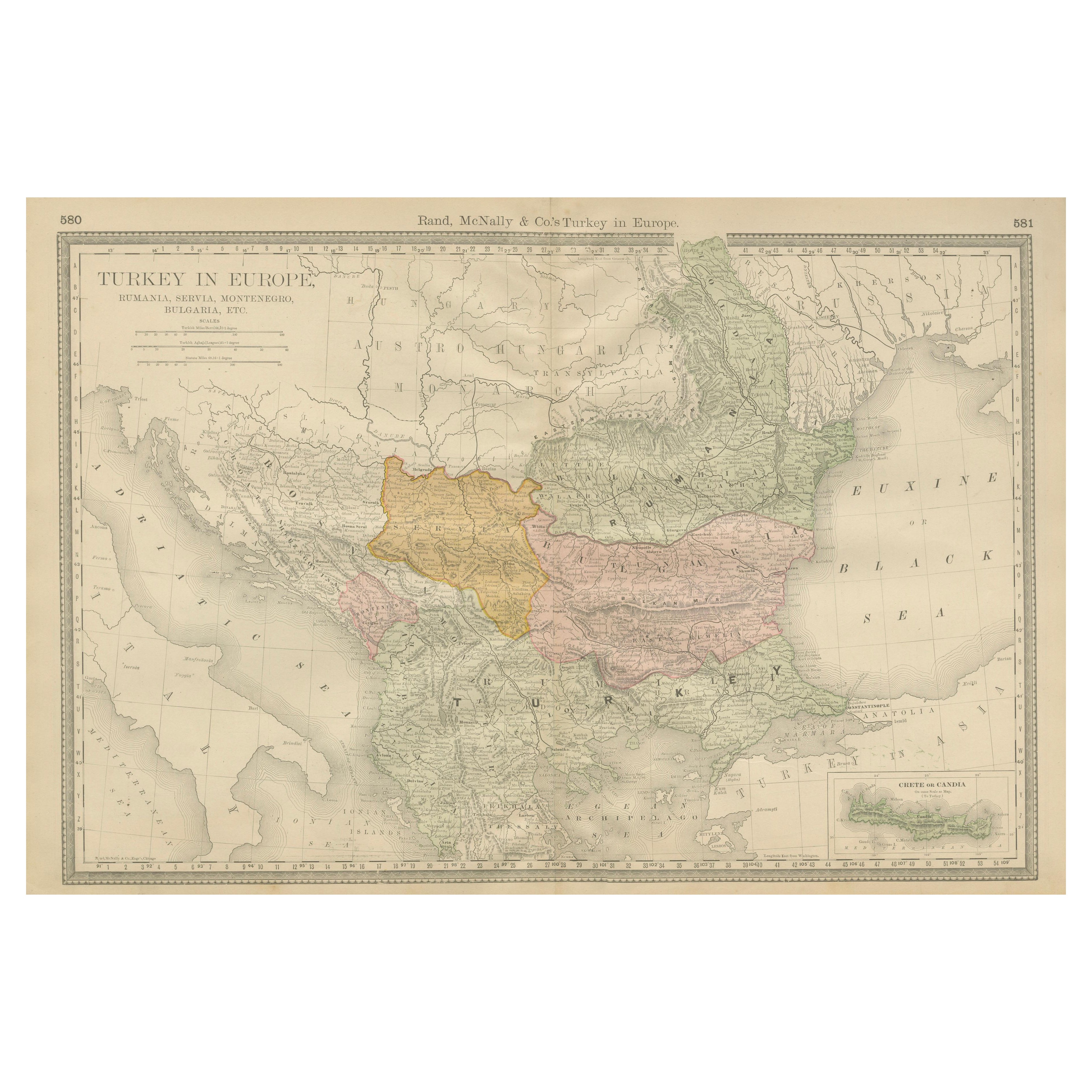
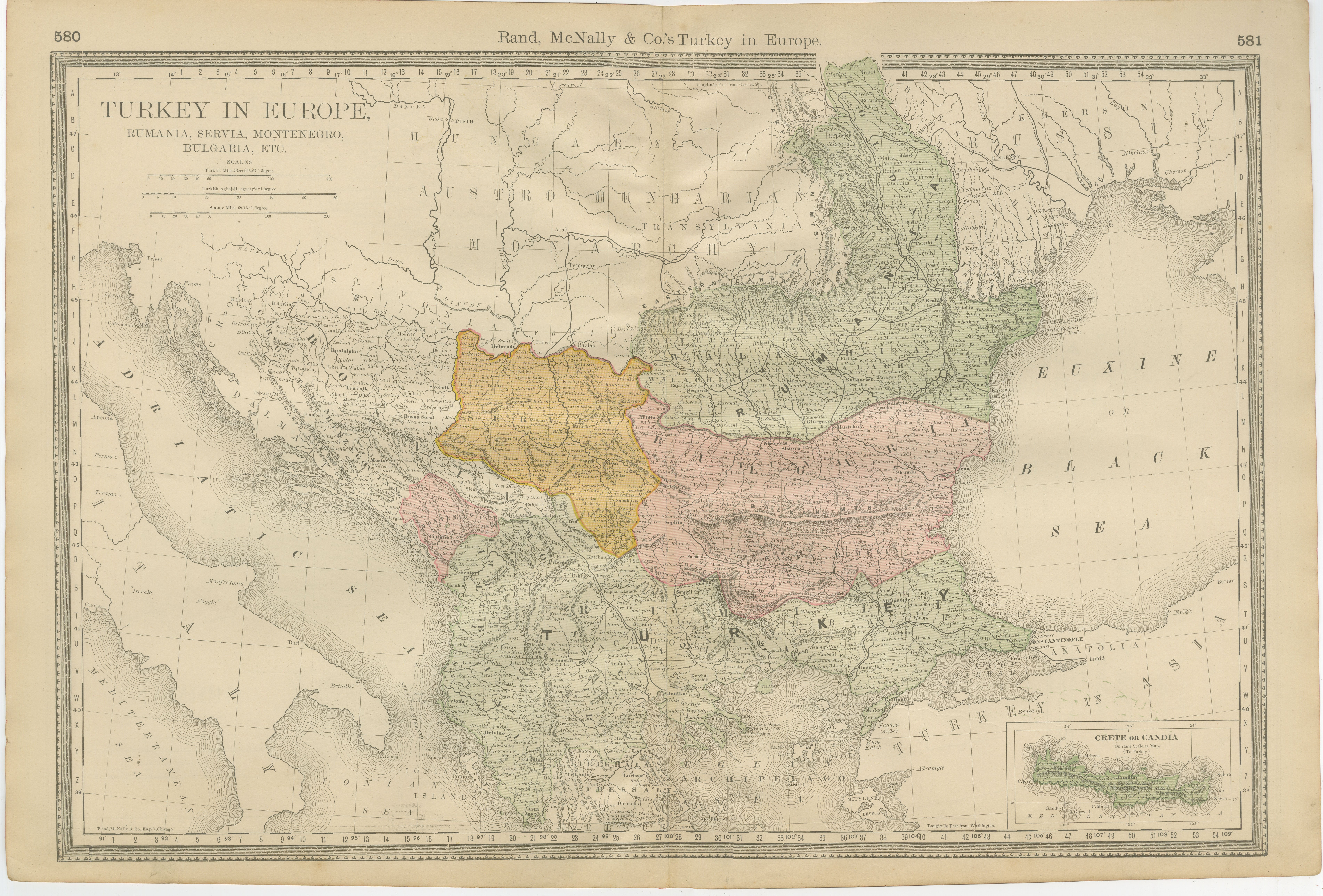
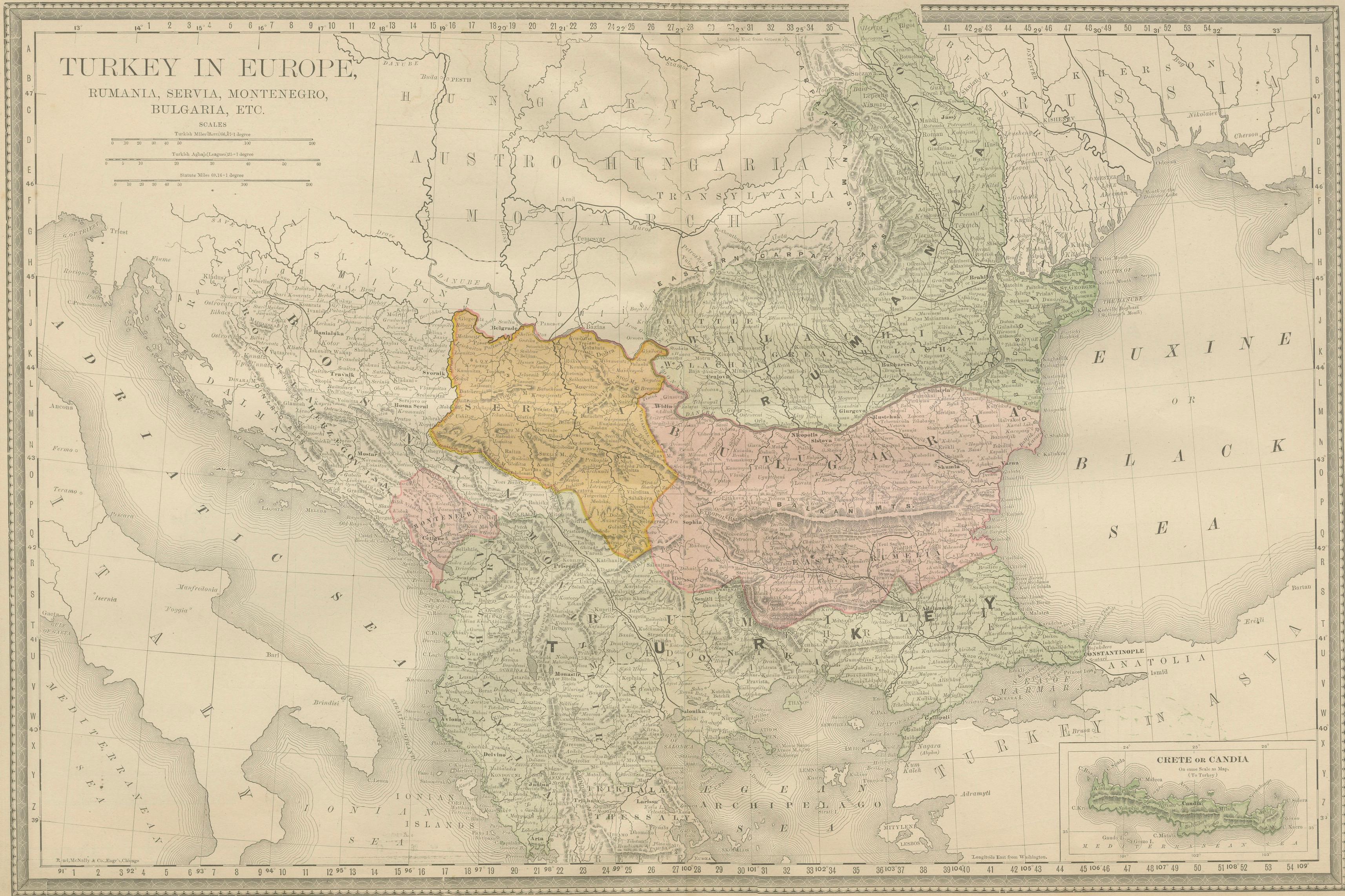
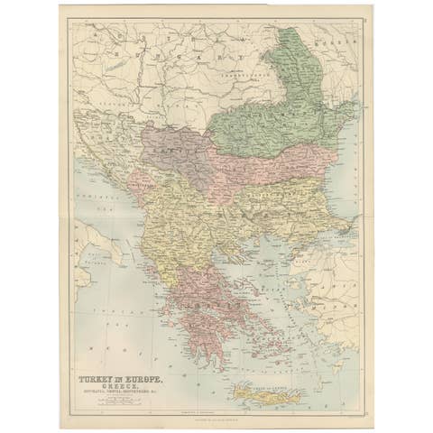
This detailed political and geographic map titled “Turkey in Europe” presents the Balkan Peninsula at a pivotal historical moment, showing Ottoman Europe alongside Romania, Serbia, Montenegro, Bulgaria, and surrounding regions. Issued by the renowned American cartographic publisher Rand, McNally & Co., the map captures southeastern Europe in the early 20th century, just before the final dissolution of Ottoman rule in the Balkans.
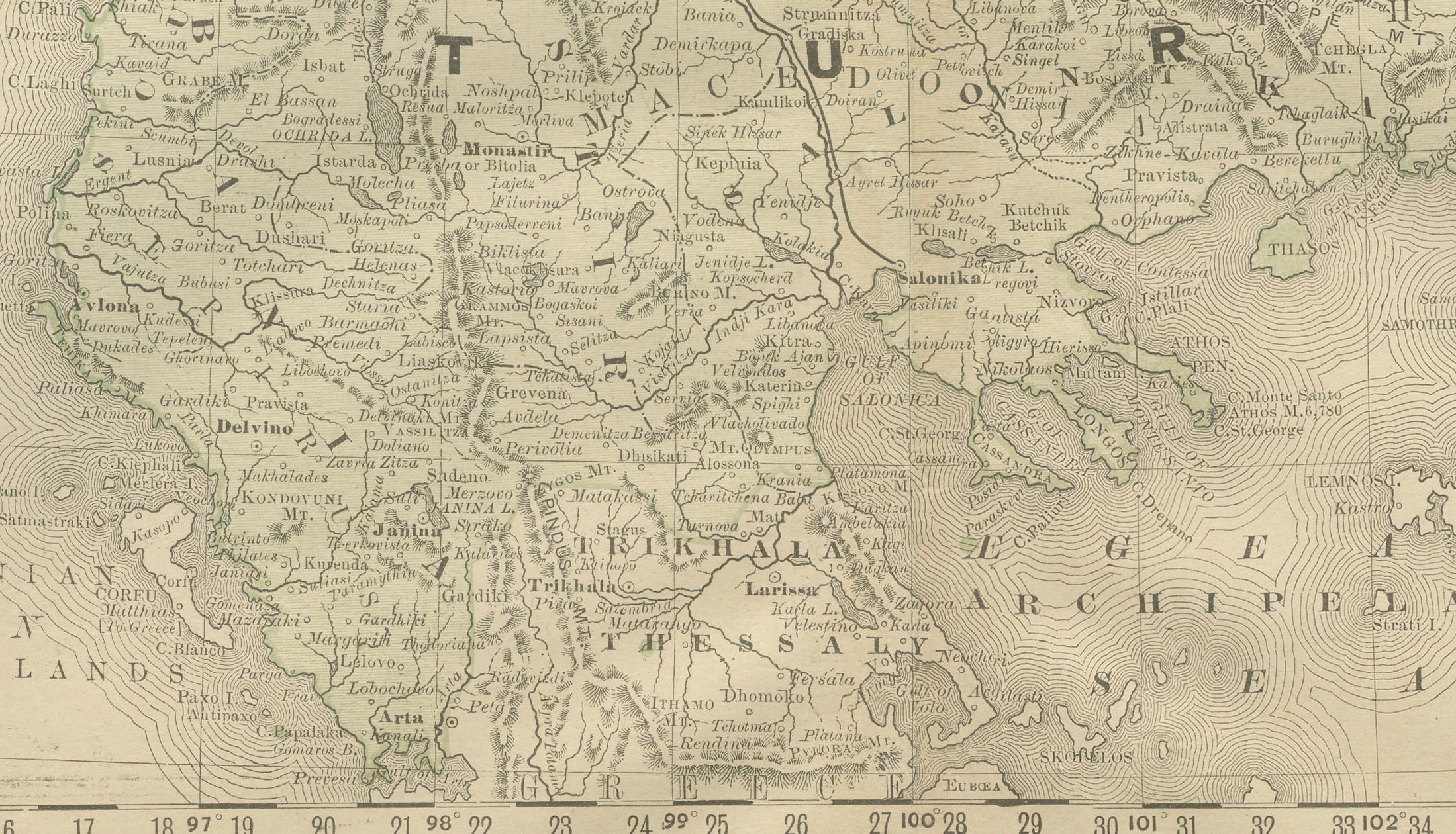
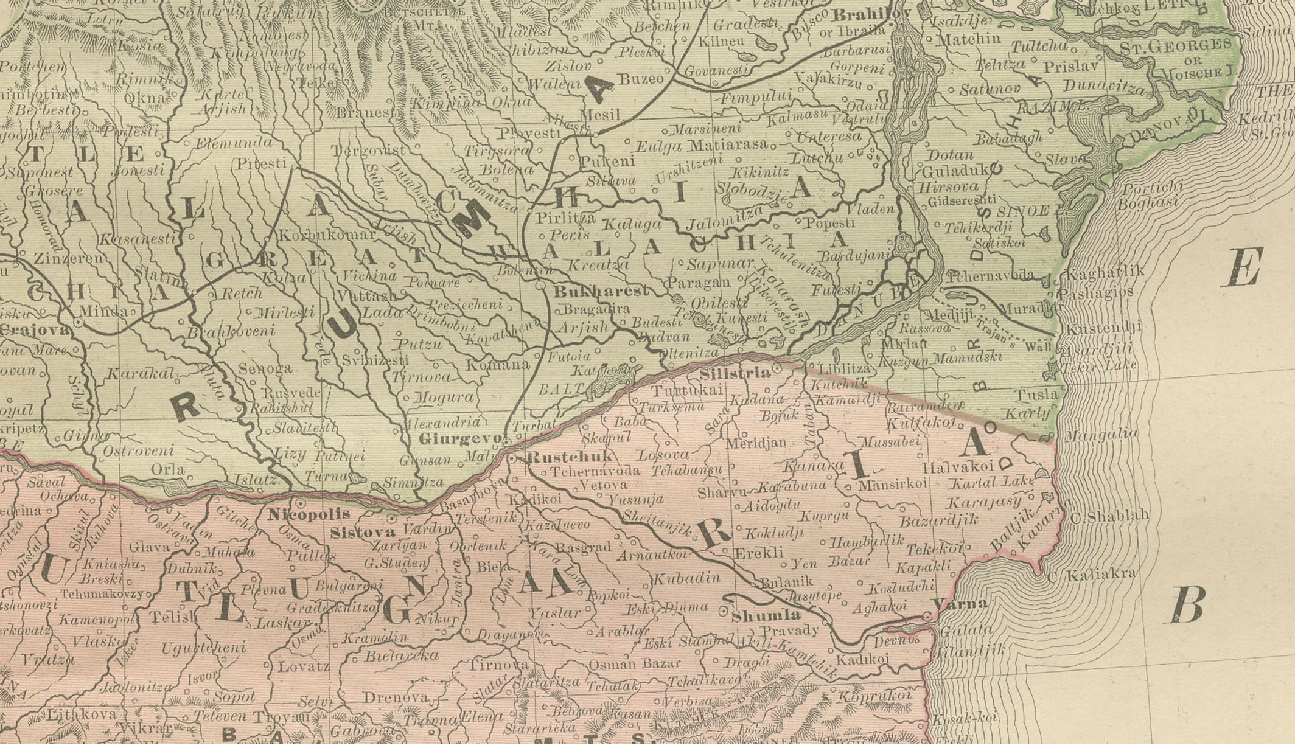
The composition focuses on Rumelia and the European territories of the Ottoman Empire, with borders delicately outlined in color to distinguish emerging nation states. Bulgaria, Serbia, Montenegro, and Romania are clearly defined, while Austria-Hungary, Greece, and Anatolia provide broader geopolitical context. Physical features such as mountain ranges, river systems, and coastlines are finely engraved, balancing political clarity with topographical depth.
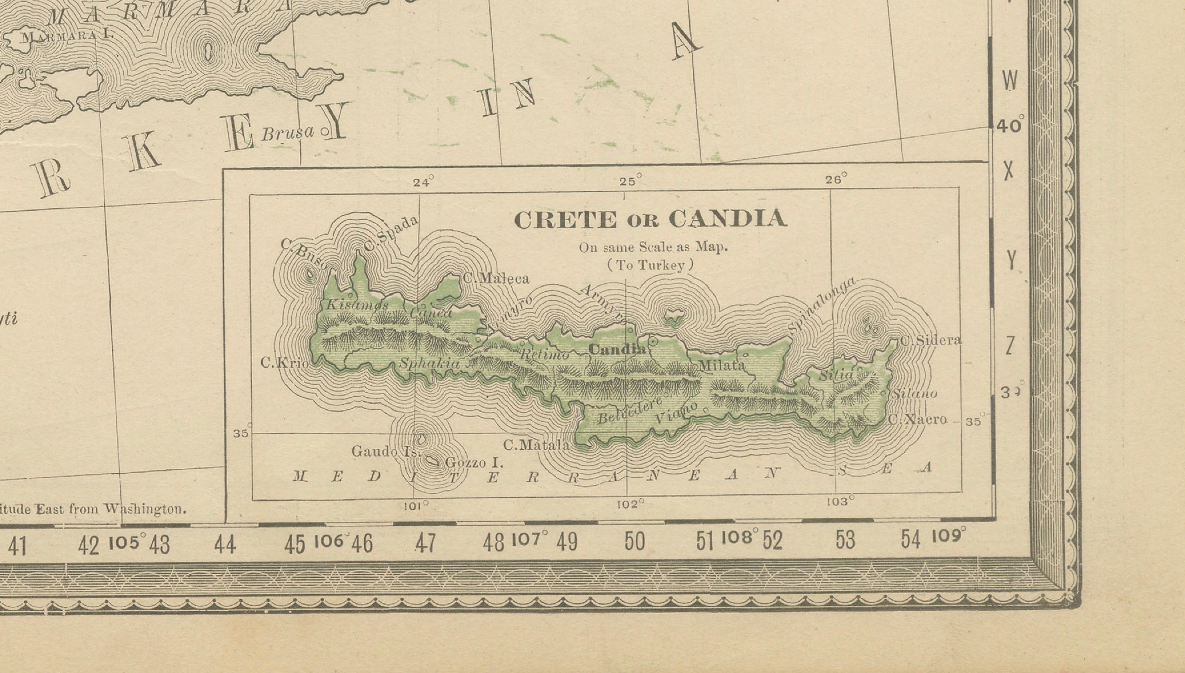
Notably, the map reflects the tense and transitional nature of the region: the Balkans are shown as a mosaic of ethnic, political, and imperial interests on the eve of major conflict. The Black Sea, Adriatic, and Aegean are carefully rendered, while an inset map of Crete (Candia) adds further regional detail. The restrained color palette, precise line work, and dense place-name coverage are characteristic of Rand McNally’s high production standards during this period.
Beyond its historical significance, the map has strong decorative appeal. Its large format, soft original coloring, and balanced layout make it particularly suitable for interior display, whether in a study, library, or contemporary setting that benefits from a subtle historical focal point.
Condition report:
Original lithographic map on paper. Light overall age toning consistent with age. Central fold as issued. Minor edge wear and soft handling marks; no major losses. Colors remain clear and legible. Overall very good condition.
Framing suggestions:
Works beautifully framed with a wide off-white or light grey mat to emphasize the map’s scale and detail. A walnut, oak, or black frame complements the muted palette. Museum glass recommended.
Technique: Color lithograph
Maker: Rand McNally & Co., Chicago, early 20th century