About this sheet
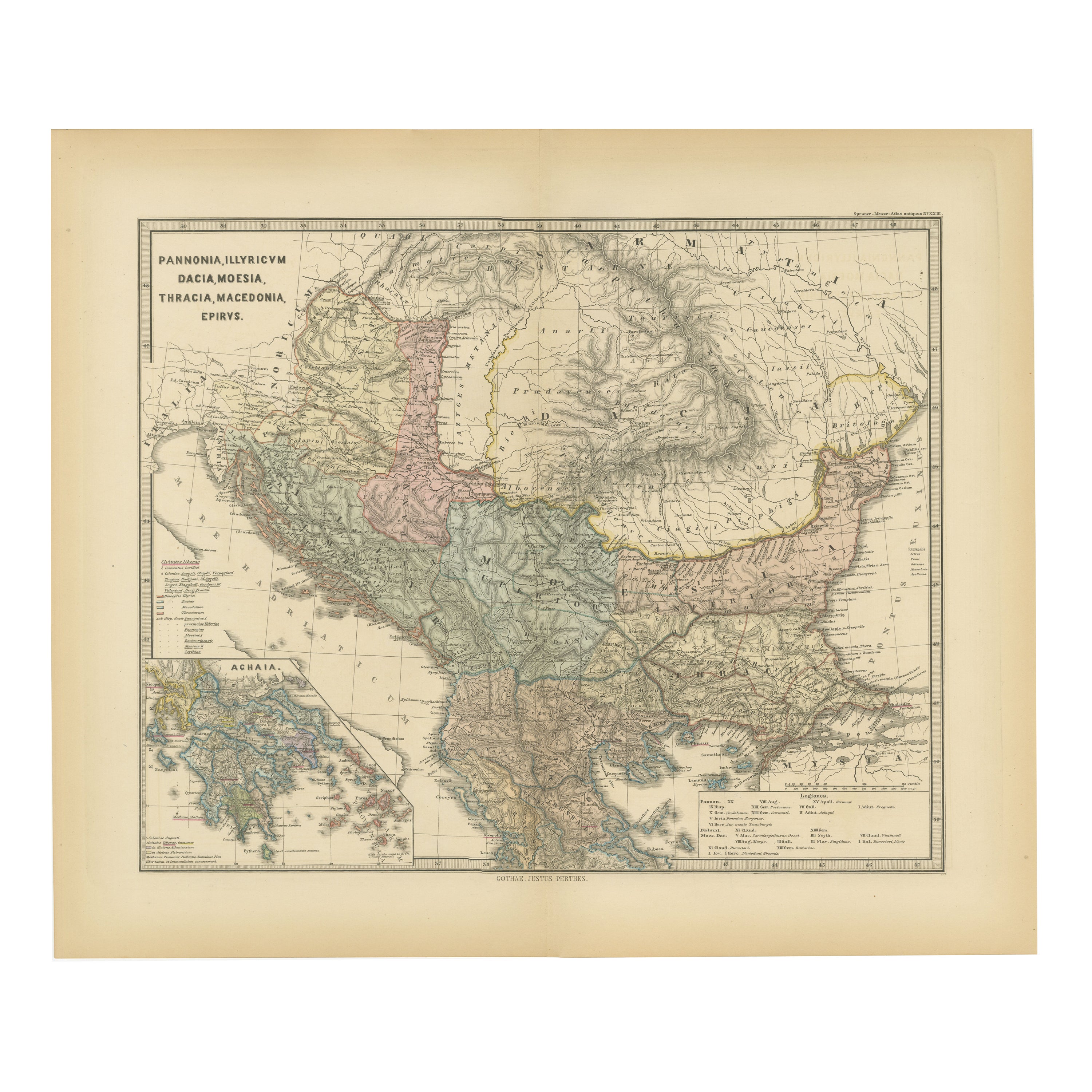
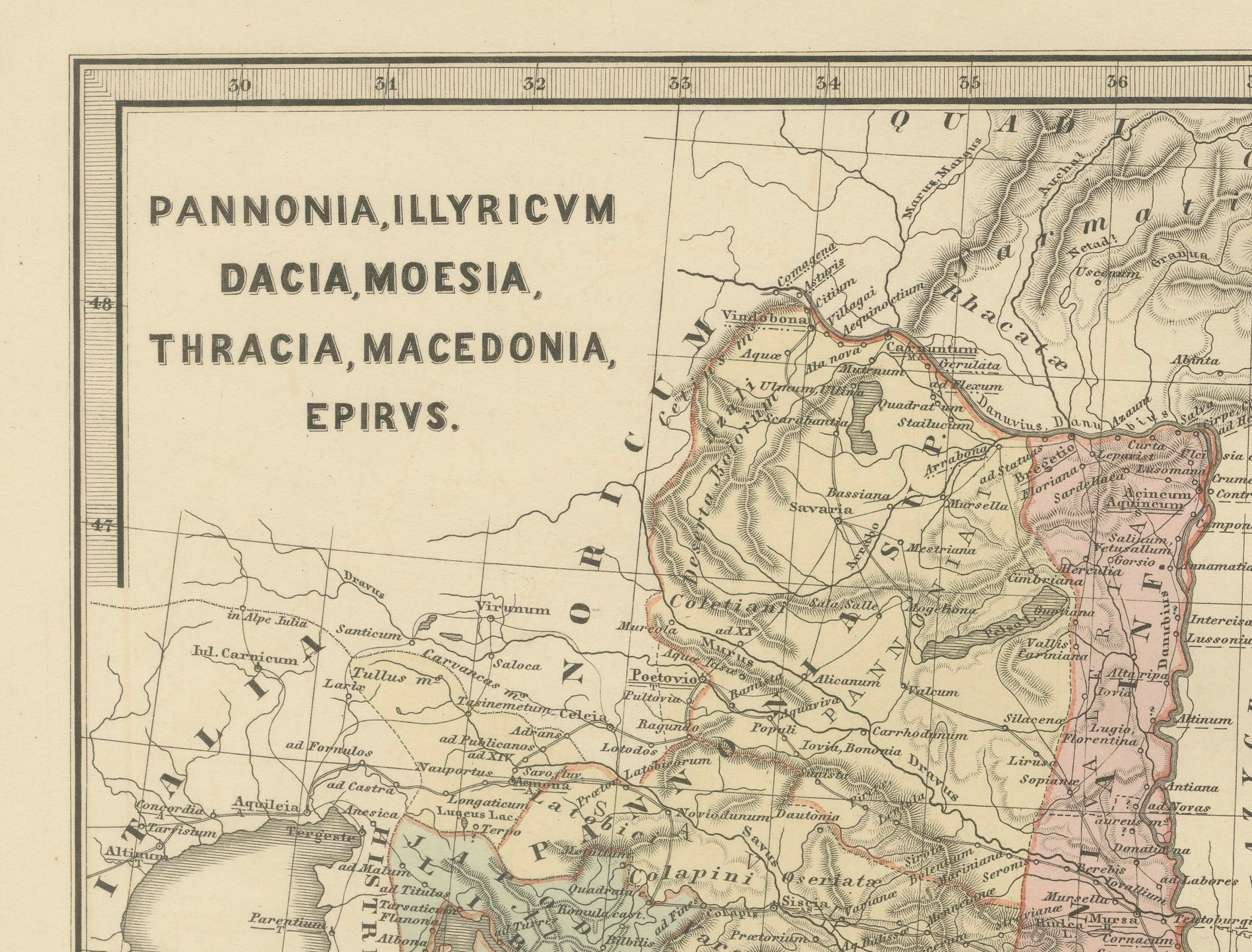
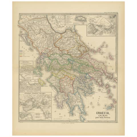
This original antique map showcases the Roman provinces in the Balkan region and parts of Central and Eastern Europe. The title "PANNONIA, ILLYRICUM DACIA, MOESIA, THRACIA, MACEDONIA, EPIRYS." indicates that the map focuses on these specific ancient Roman provinces.
Features of the map include:
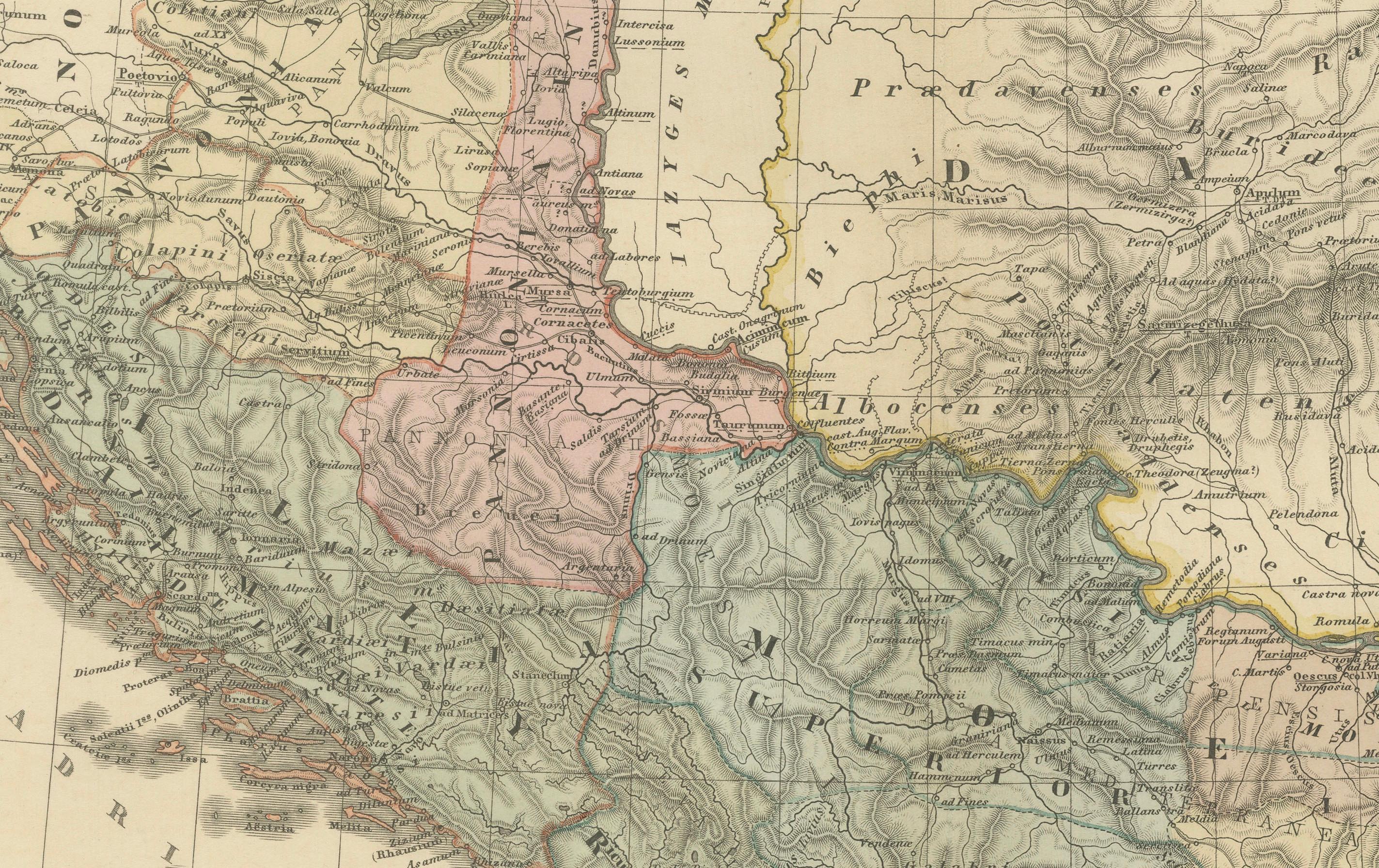
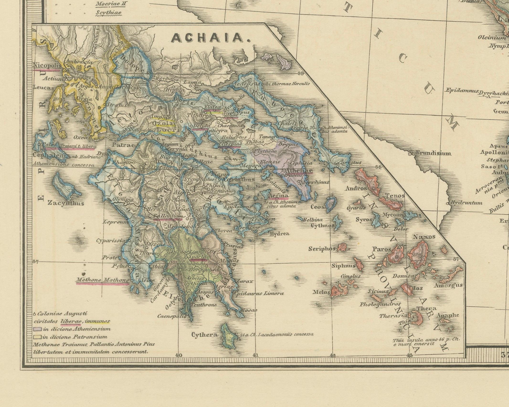
1. Provincial Boundaries: Different colors seem to delineate the borders of each province, such as Pannonia, Illyricum, Dacia, Moesia, Thracia, Macedonia, and Epirus.
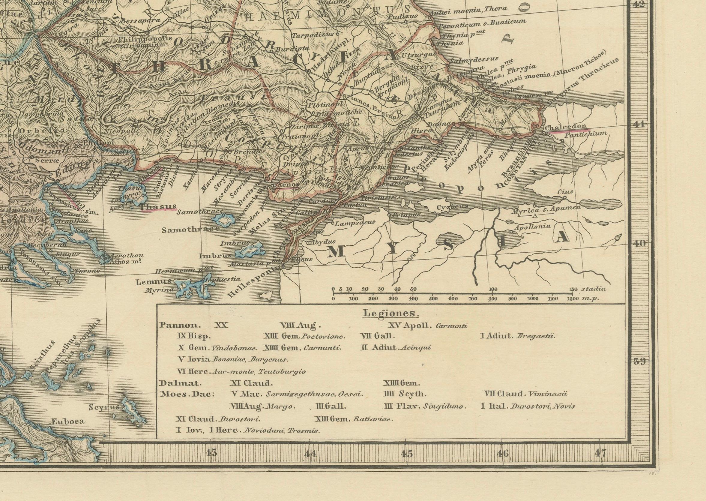
2. Geographical Features: The map is topographically rich, showing mountain ranges, river systems, and the coastline of the Adriatic Sea. The Danube River, an important geographical feature in several of these provinces, is prominently displayed.
3. Cities and Settlements: Various dots and symbols mark the location of cities, forts, and settlements, with some of the major ones possibly labeled with names that would have been used during the Roman era.
4. Road Networks: Lines that crisscross the provinces may represent the extensive network of Roman roads, which were vital for military movement, trade, and administration.
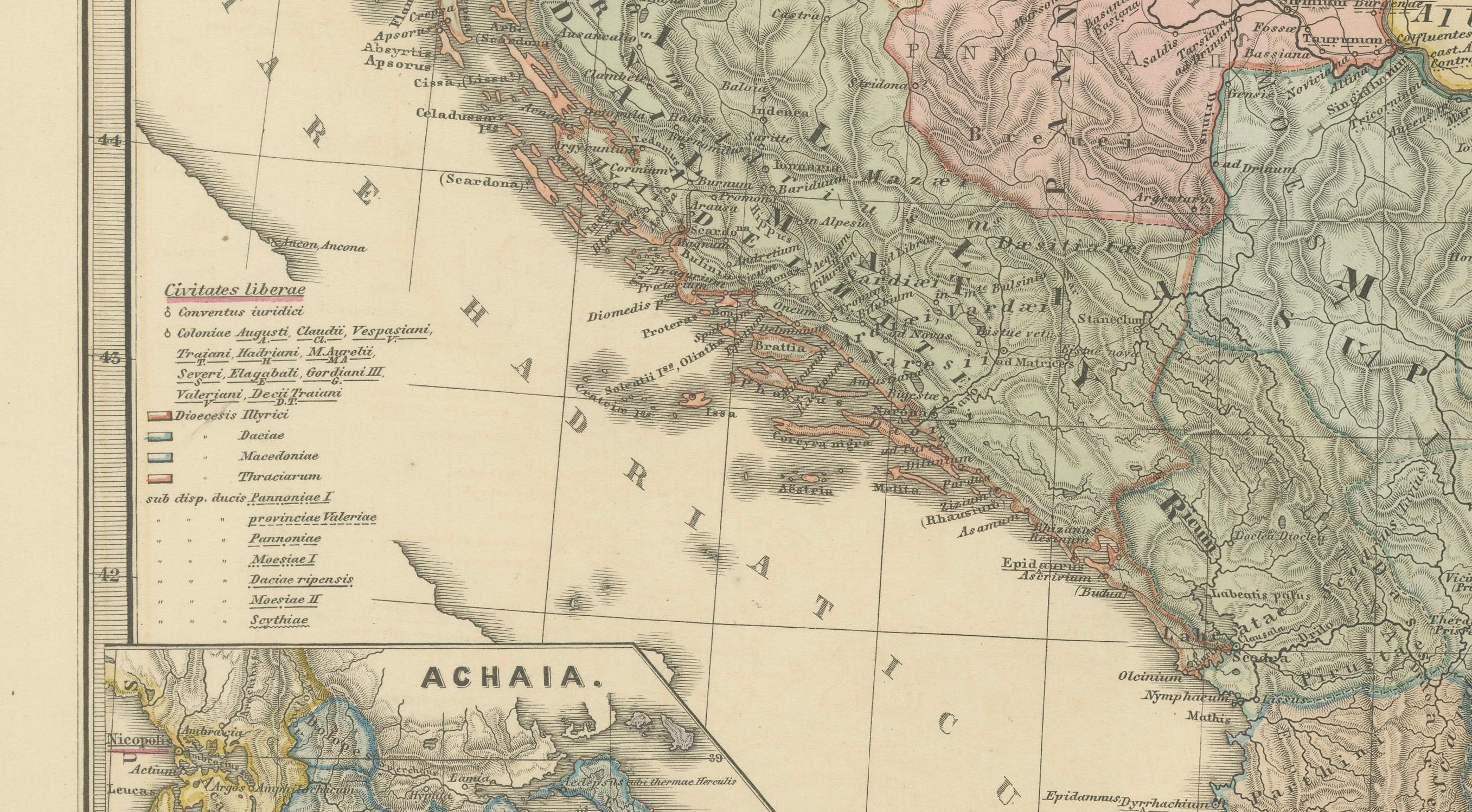
5. Insets: There is at least one inset map labeled "ACHAIA," which suggests a more detailed focus on this particular region, perhaps highlighting its significance or providing additional detail that could not be captured in the main map's scale.
6. Grid and Scale: A grid overlay indicates longitudinal and latitudinal lines, and there's likely a scale bar that helps to understand distances in the context of the map.
7. Latin Text: The map uses Latin, reflecting the language of the Roman Empire and contributing to its historical authenticity.
8. Legend: A legend is included, probably explaining the symbols and color codes used throughout the map.
This map would serve as a detailed educational resource for understanding the Roman Empire's territorial extent and administrative divisions in the Balkan region. It provides a visual understanding of how the Romans organized and controlled these lands, as well as the geographic challenges and features of the area.
The map is from the atlas, the "Spruner-Menke Atlas Antiquus," which was published in the late 19th century, specifically around 1880. The atlas is known for its detailed historical maps of different periods.
The period depicted on the map itself would be during the Roman Empire, although without specific dates given, it's hard to determine the exact timeframe. The provinces listed — Pannonia, Illyricum, Dacia, Moesia, Thracia, Macedonia, and Epirus — were part of the Roman Empire from the 1st century BC through to the early centuries AD.
The story behind these provinces is one of Roman expansion and administration. Pannonia and Illyricum were regions known for their military significance, often serving as the breeding ground for Roman soldiers and officers, including some emperors. Dacia, modern-day Romania, was conquered by Emperor Trajan and is famous for the rich gold mines that Rome exploited. Moesia, Thracia, and Macedonia were important for their strategic locations and served as vital corridors for troops moving to and from various parts of the Empire. Epirus was known in ancient times as a culturally and historically rich region, home to the oracle of Dodona.
This map likely illustrates the Roman Empire's reach into the Balkans and its geographic and political divisions during its height, showcasing the complexity of its provincial boundaries and the infrastructure that facilitated Roman control and integration of these diverse regions into its vast dominion.