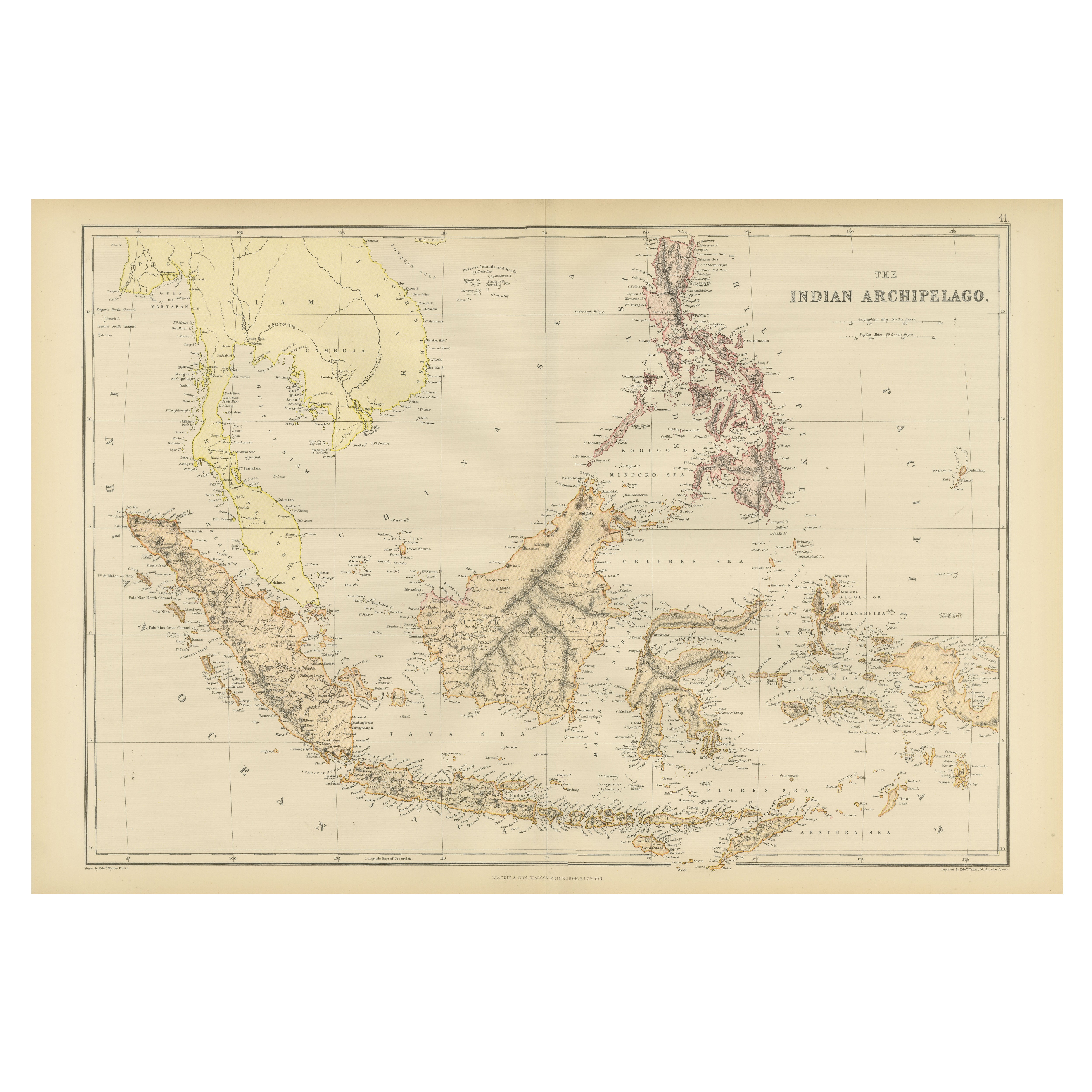
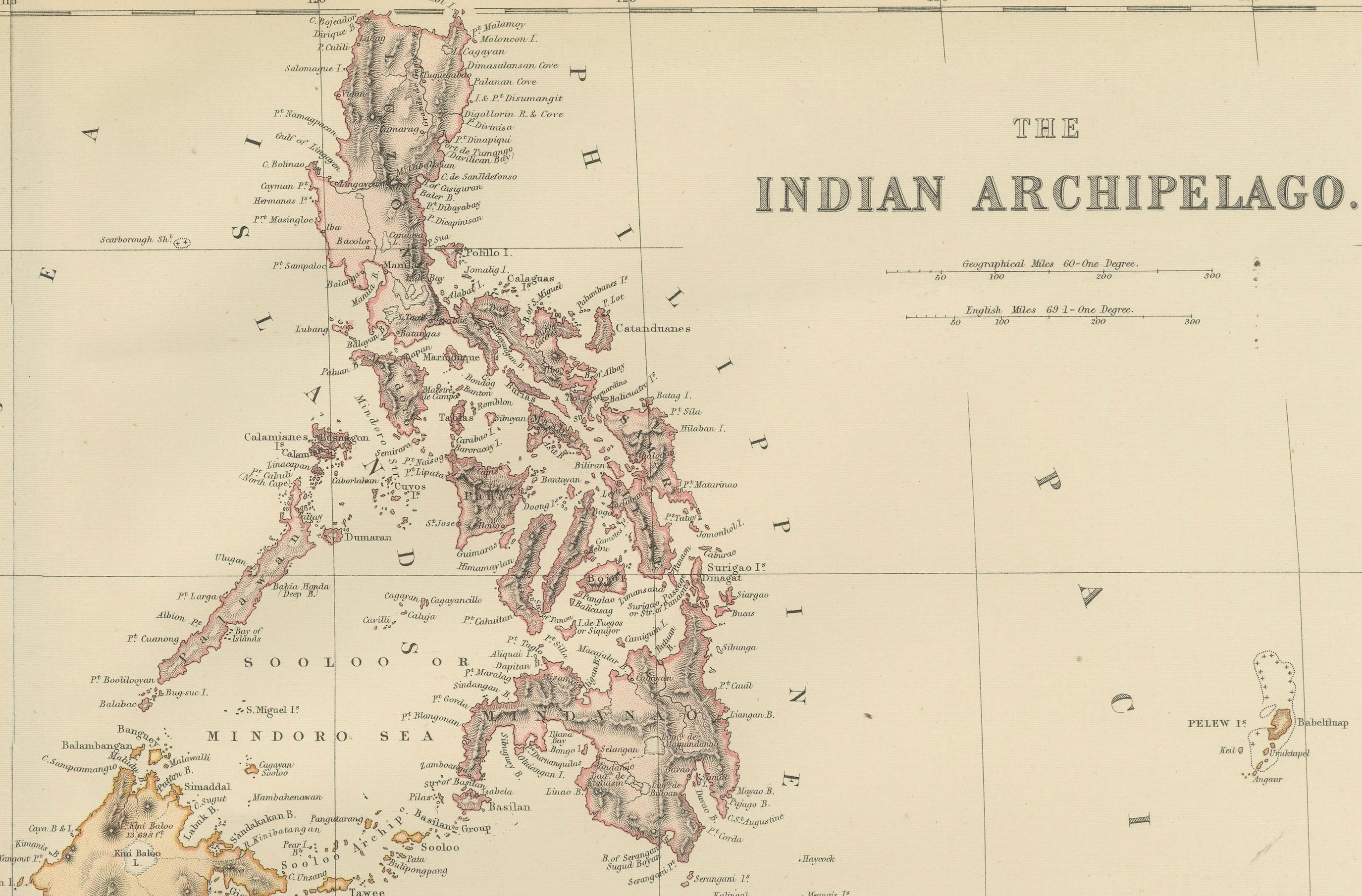
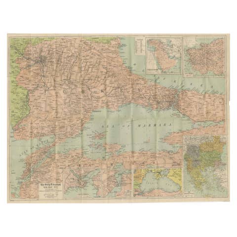
1882 Antique Map of Indian Archipelago, Southeast Asia, Blackie & Son
€ 260
One of a kind: this is the sheet in the photographs. Ships from Langweer, the Netherlands.
Date
1882
Sheet size
38 × 57 cm (15.0 × 22.4 in)
Condition
Good
Reference
BG-13601-2-51
Condition
Condition report: The map is in good condition with minimal edge wear. Slight toning and occasional spotting are present, consistent with its age. The engraving remains sharp, and the colors are well-preserved. Fold line in middle, as issued.
About this sheet
1882 Antique Map of the Indian Archipelago Showing Southeast Asia in Detail
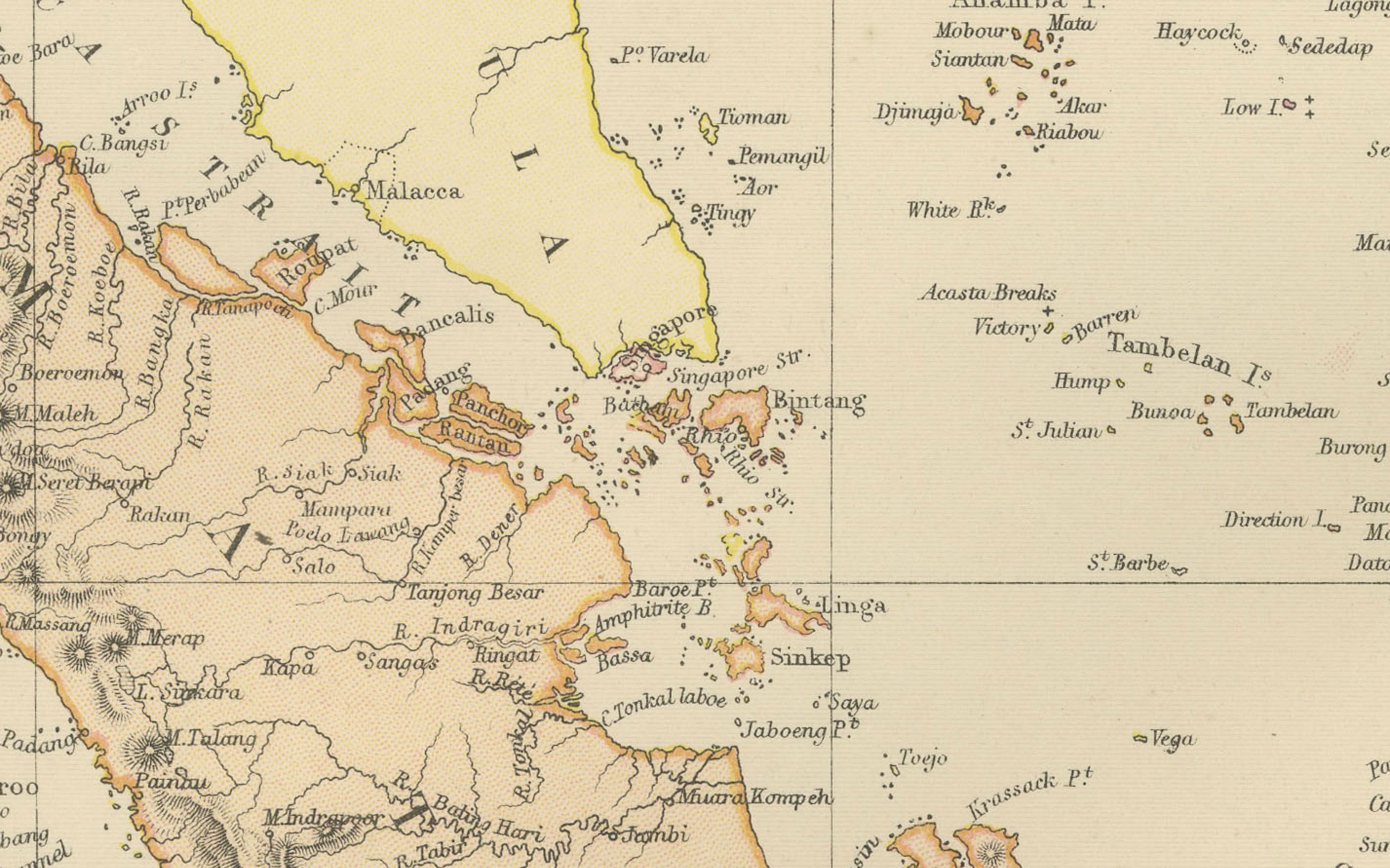
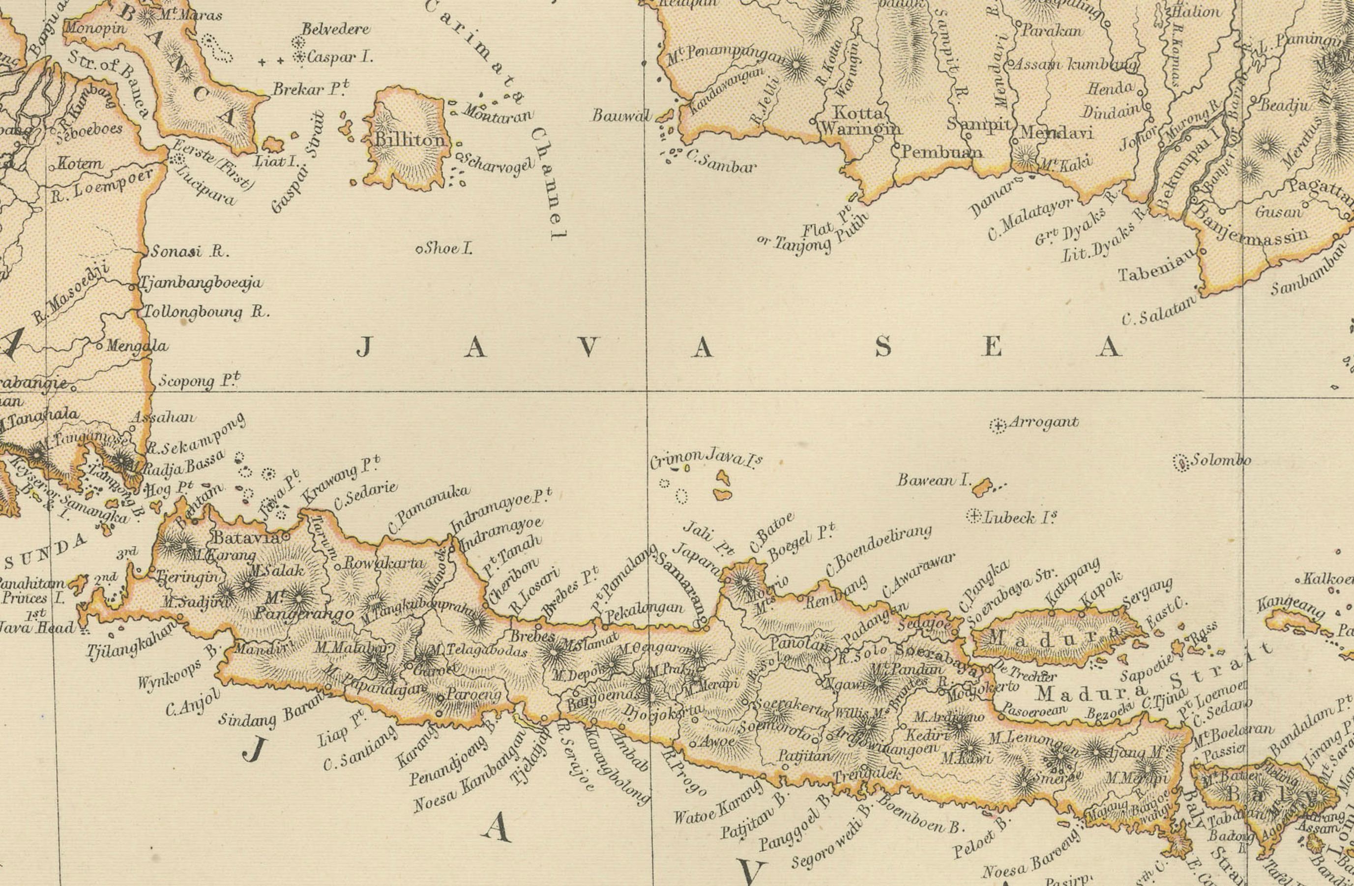
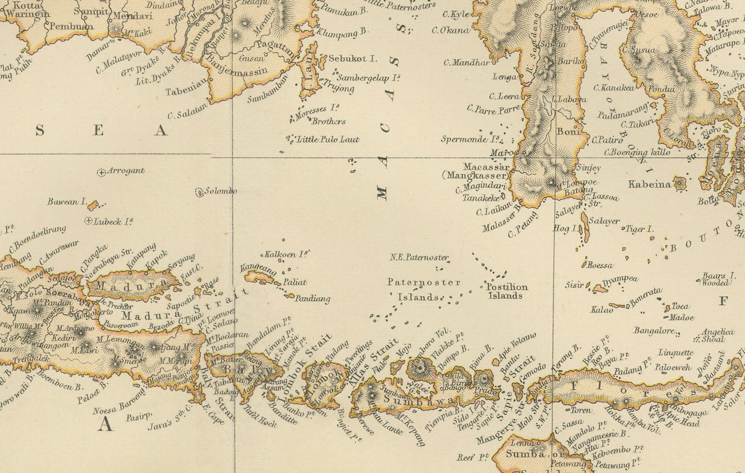
This 1882 map of the Indian Archipelago, published by Blackie and Son as part of the 'Comprehensive Atlas and Geography of the World,' provides a detailed depiction of the maritime region encompassing modern-day Southeast Asia, especially nowadays Indonesia and the region around Singapore and Malaysia. It highlights key islands and territories, including Sumatra, Java, Borneo, Sulawesi, the Philippines, and the Malay Peninsula, along with numerous smaller islands scattered throughout the region. The map offers a glimpse into the geography and political divisions of the time, with boundaries and settlements clearly marked.
The topography of the islands is carefully illustrated, showing mountain ranges, rivers, and coastal features. Maritime details, such as sea routes, straits, and surrounding seas like the Java Sea, Celebes Sea, and the Indian Ocean, are prominently included, reflecting the region's importance for trade and navigation during the 19th century. The use of subtle pastel colors to delineate political and territorial divisions adds to the map’s visual appeal and historical significance.
Condition report: The map is in good condition, with light age-related toning and minor spotting. The engraving is clear, and the colors remain vivid. There are no visible tears or repairs.
Framing tips: Choose a wooden frame with a natural or antique finish, such as walnut or mahogany, to complement the map's historical nature. A double mat with a cream or off-white inner mat and a soft green or beige outer mat will enhance the map’s tones and blend well with its muted palette. Use UV-protective glass to preserve the map’s condition and prevent fading over time.