About this sheet
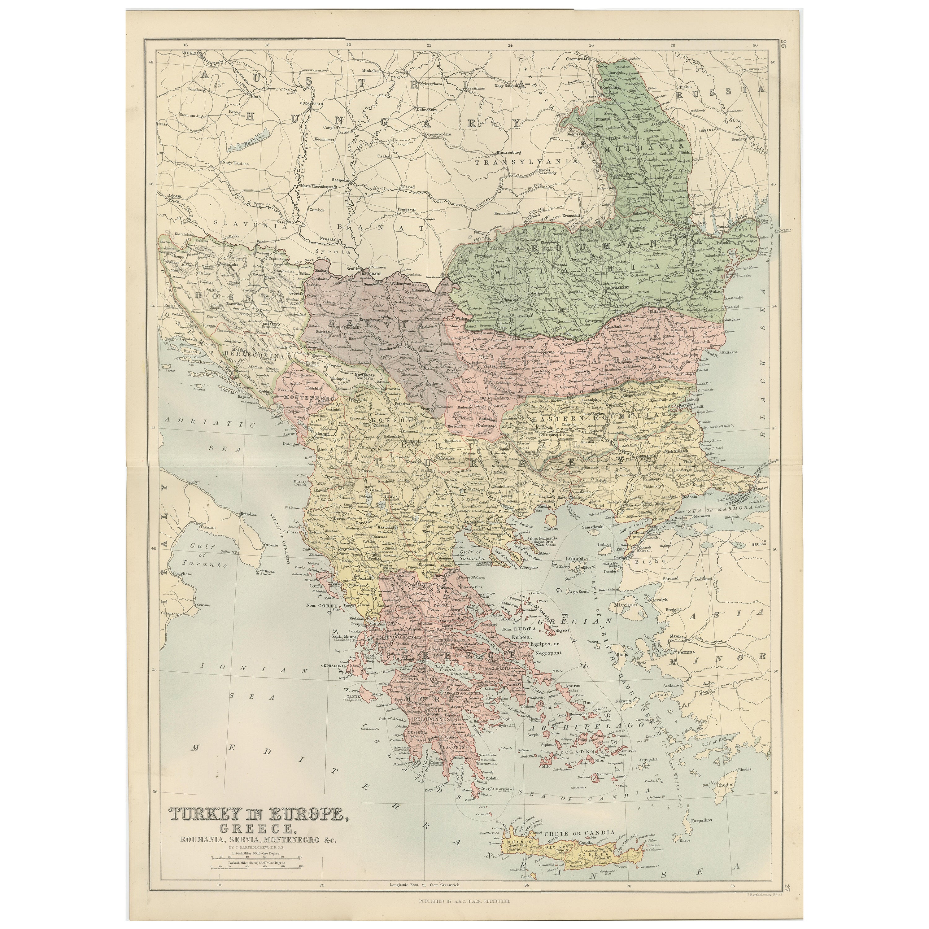
Antique Map of Turkey in Europe, Greece and the Balkans – Black’s Atlas, 1884
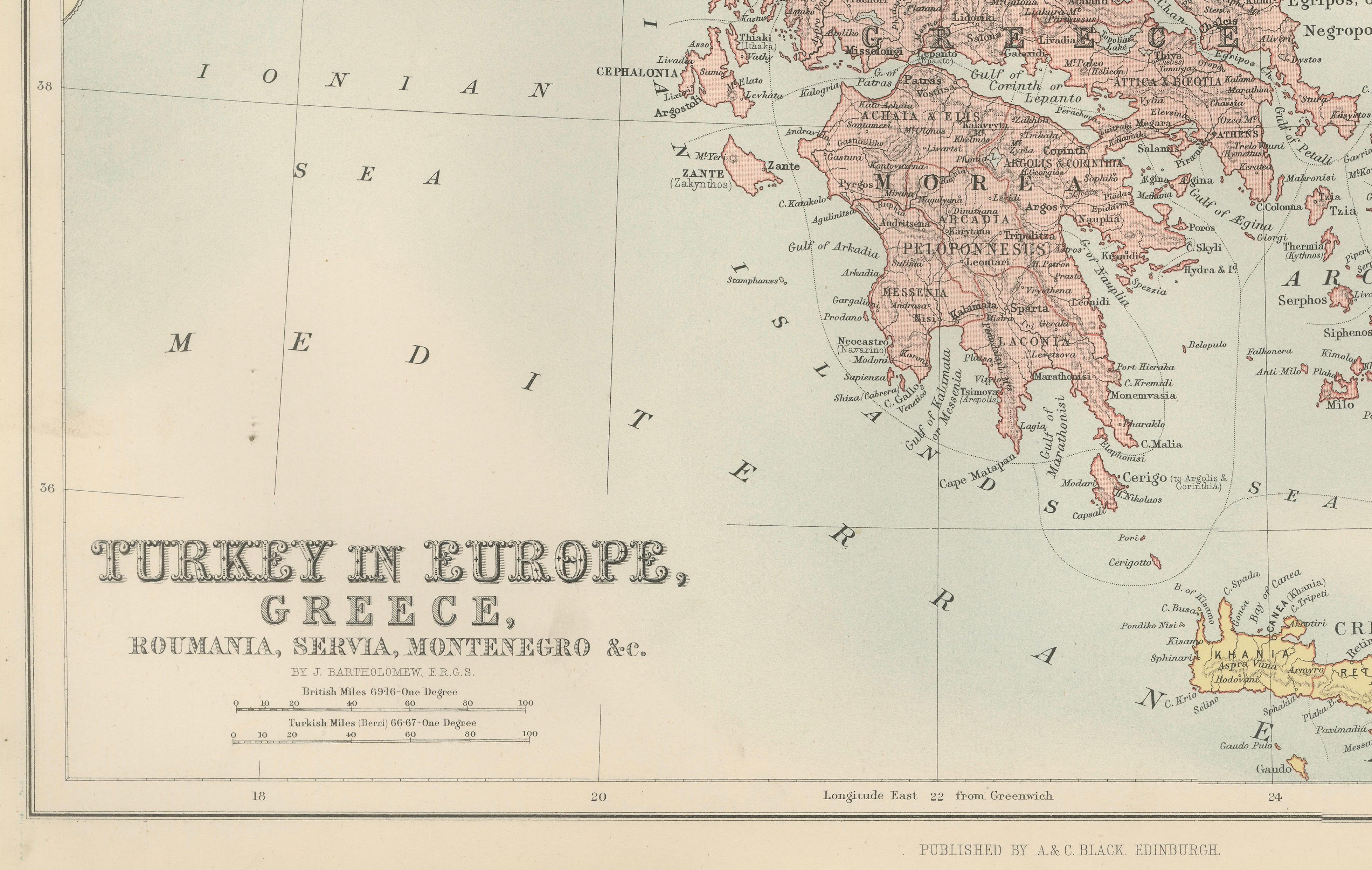
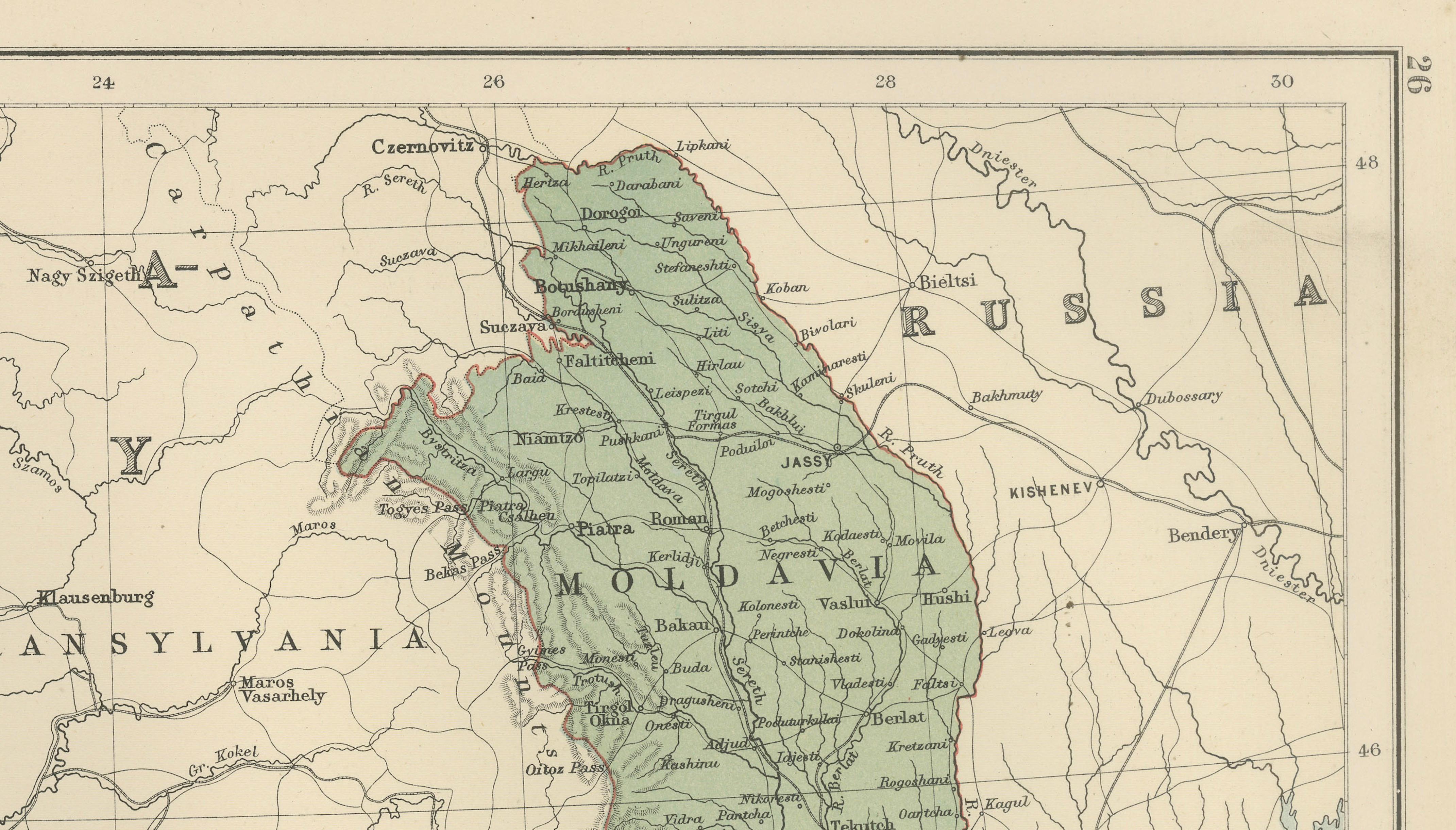
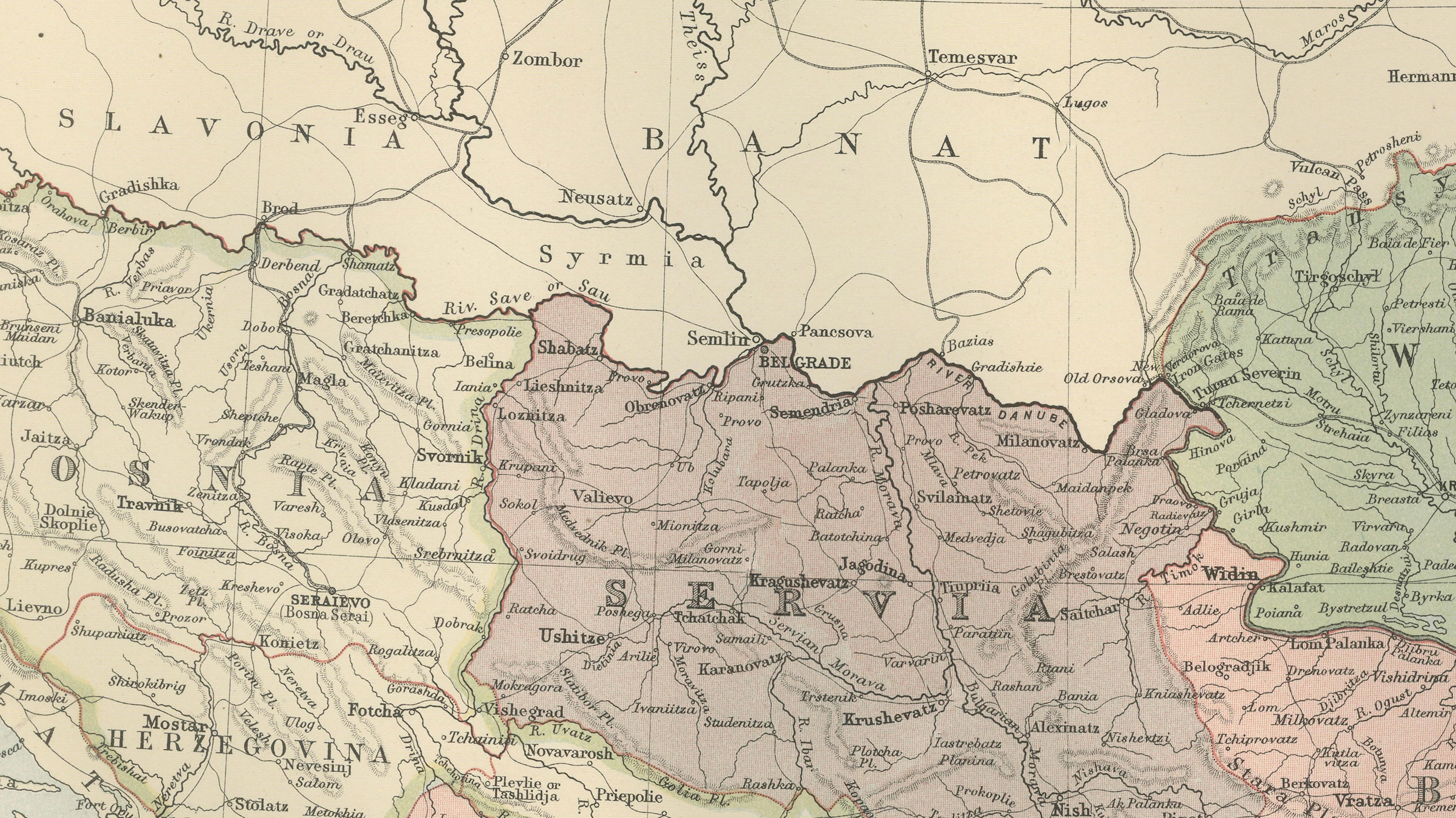
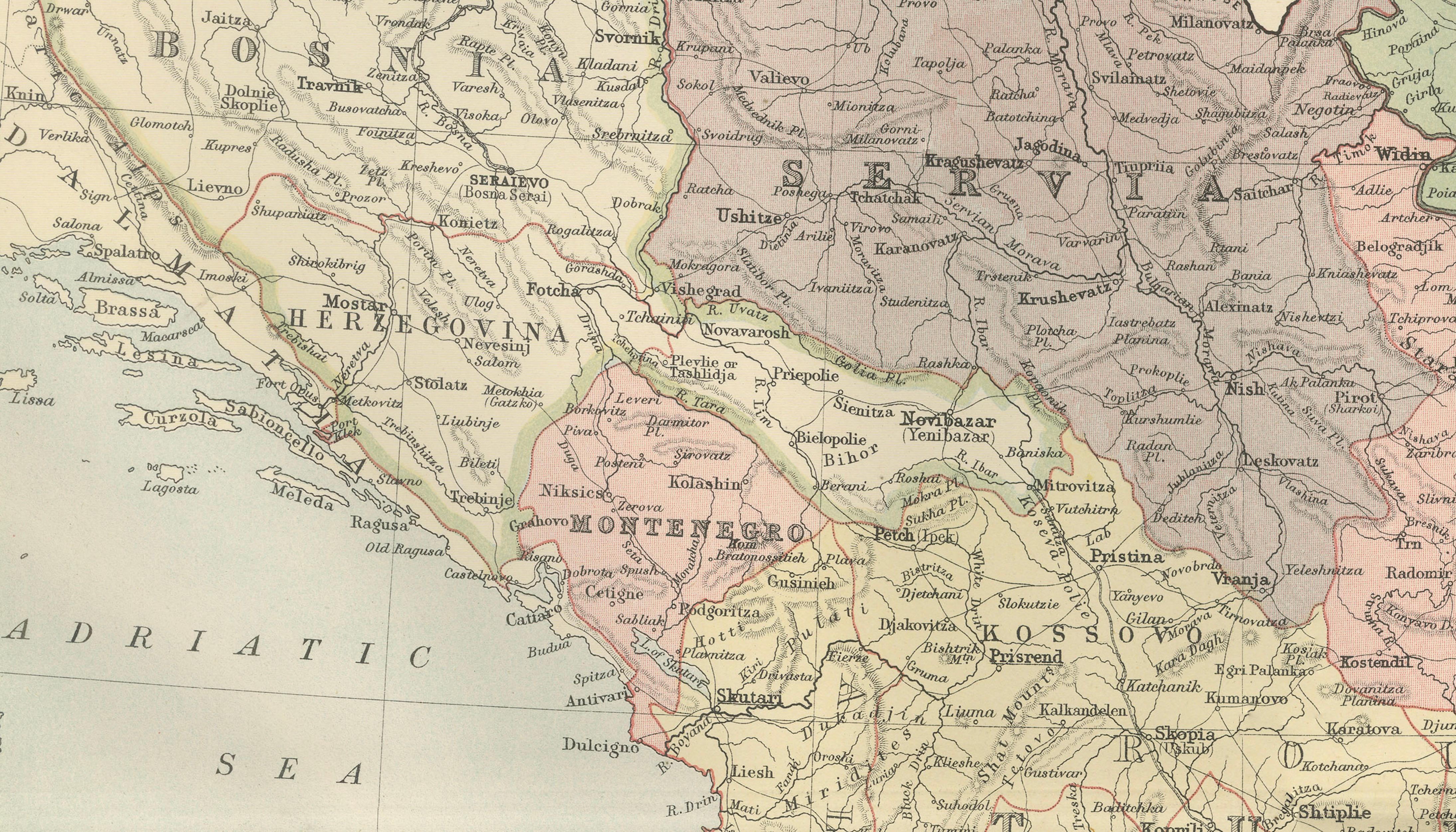
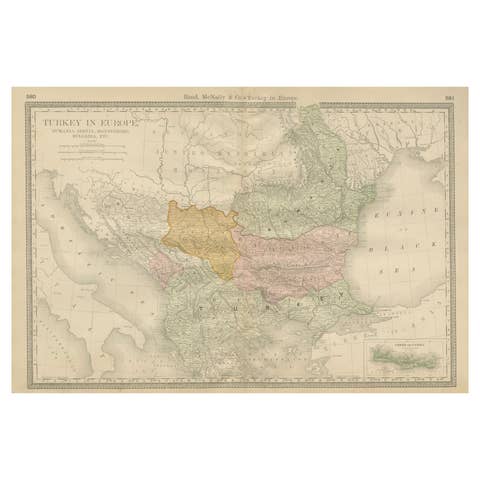
This finely engraved and hand-colored political map, titled “Turkey in Europe, Greece, Roumania, Servia, Montenegro &c.,” was published in the New and Revised Edition of Black’s General Atlas of the World, Edinburgh, 1884. It offers a detailed view of the Balkan Peninsula during a period of profound political transition in southeastern Europe.
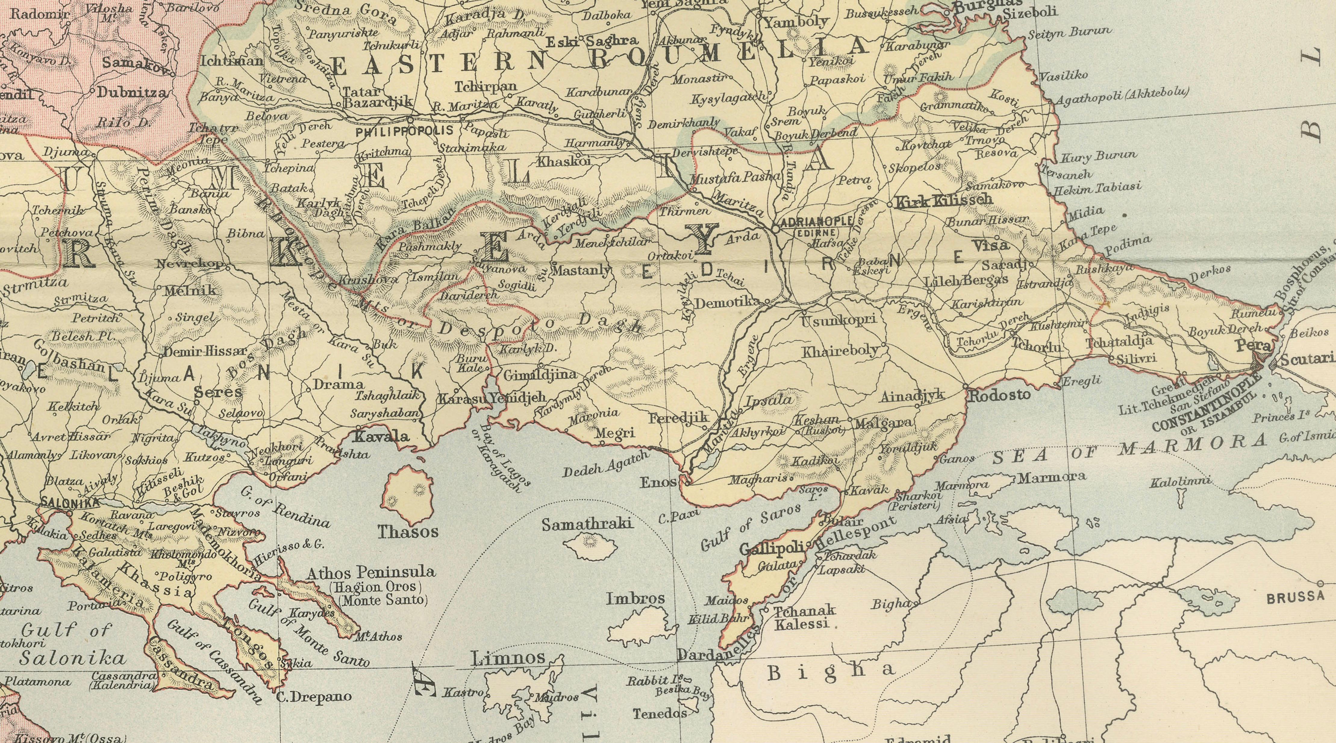
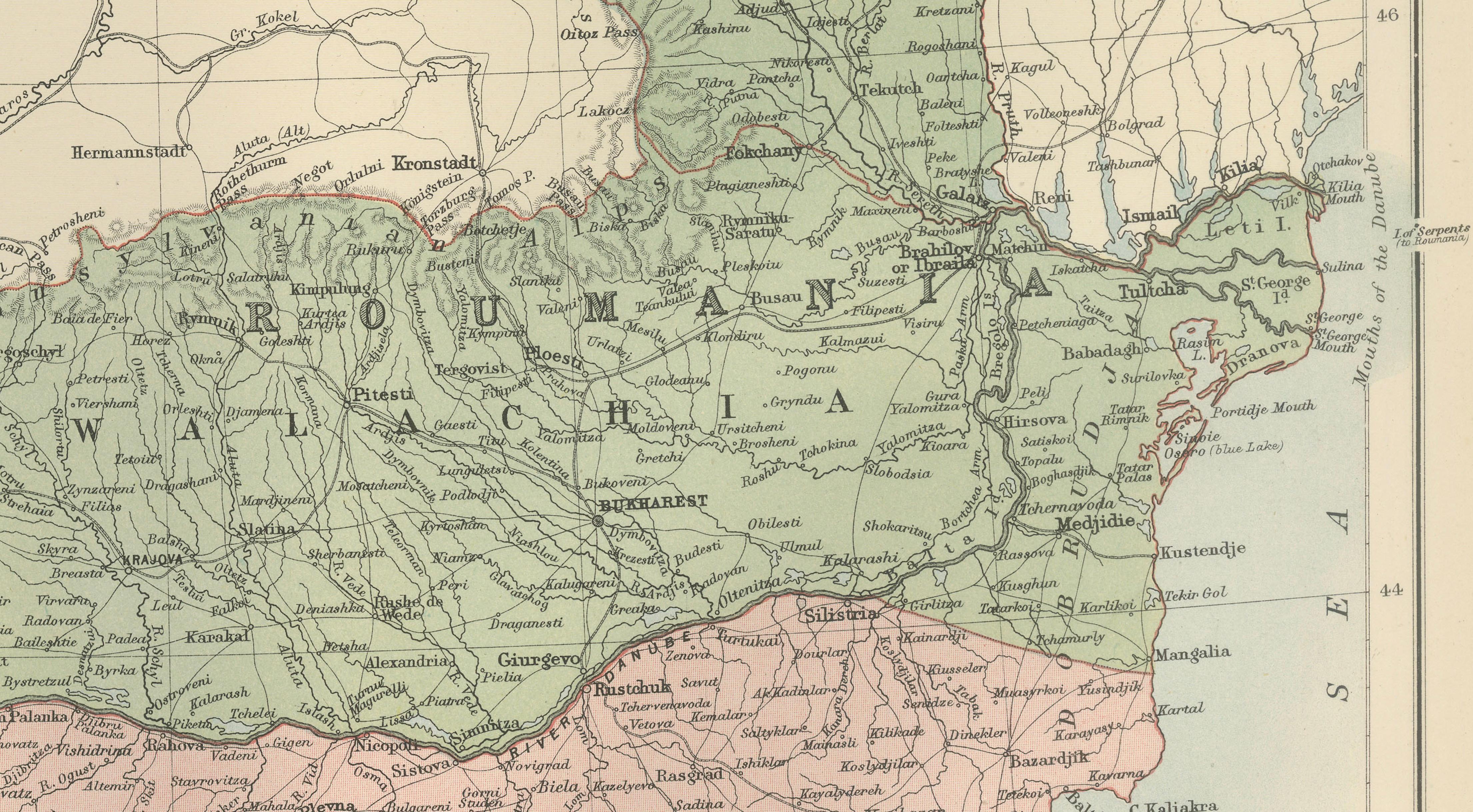
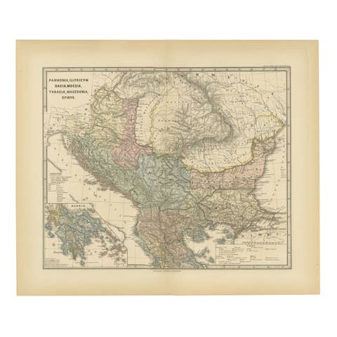
The map covers a wide region stretching from the Adriatic Sea to the Black Sea and from the Austro-Hungarian Empire southward to Greece and Crete. It clearly delineates the territories of the Ottoman Empire in Europe alongside the emerging nation-states of Greece, Serbia, Montenegro, Roumania, and Bulgaria. Each region is distinguished by subtle original hand coloring, making political boundaries immediately legible while preserving the elegance of the engraving.
Major cities such as Constantinople (Istanbul), Athens, Sofia, Belgrade, Bucharest, and Salonika are prominently marked, along with an extensive network of towns, rivers, mountain ranges, and coastal features. Seas and gulfs including the Adriatic, Ionian, Aegean, and Black Seas are carefully labeled, underscoring the region’s strategic maritime importance.
This map reflects the shifting balance of power in the Balkans following the decline of Ottoman control and the rise of national independence movements during the late 19th century. As such, it is not only a geographic document but also a vivid historical snapshot of a complex and contested region on the eve of modern political realignment.
Condition report:
Very good condition. Original hand coloring remains clear and attractive. Center fold as issued. Light toning and faint age-related spotting to margins, consistent with atlas maps of this period. Plate mark visible. No tears or losses.
Framing tips:
This map displays beautifully with an archival mat in ivory or light cream to complement the soft pastel coloring. A dark walnut or black frame enhances contrast and legibility, while a gilt frame emphasizes its late Victorian character. UV-protective glass is recommended to preserve the original colors.
Technique: Engraving with original hand coloring
Maker: Black’s General Atlas, Edinburgh, 1884