About this sheet
Map of Western Mindanao and the Sulu Archipelago – Observatorio de Manila, 1899
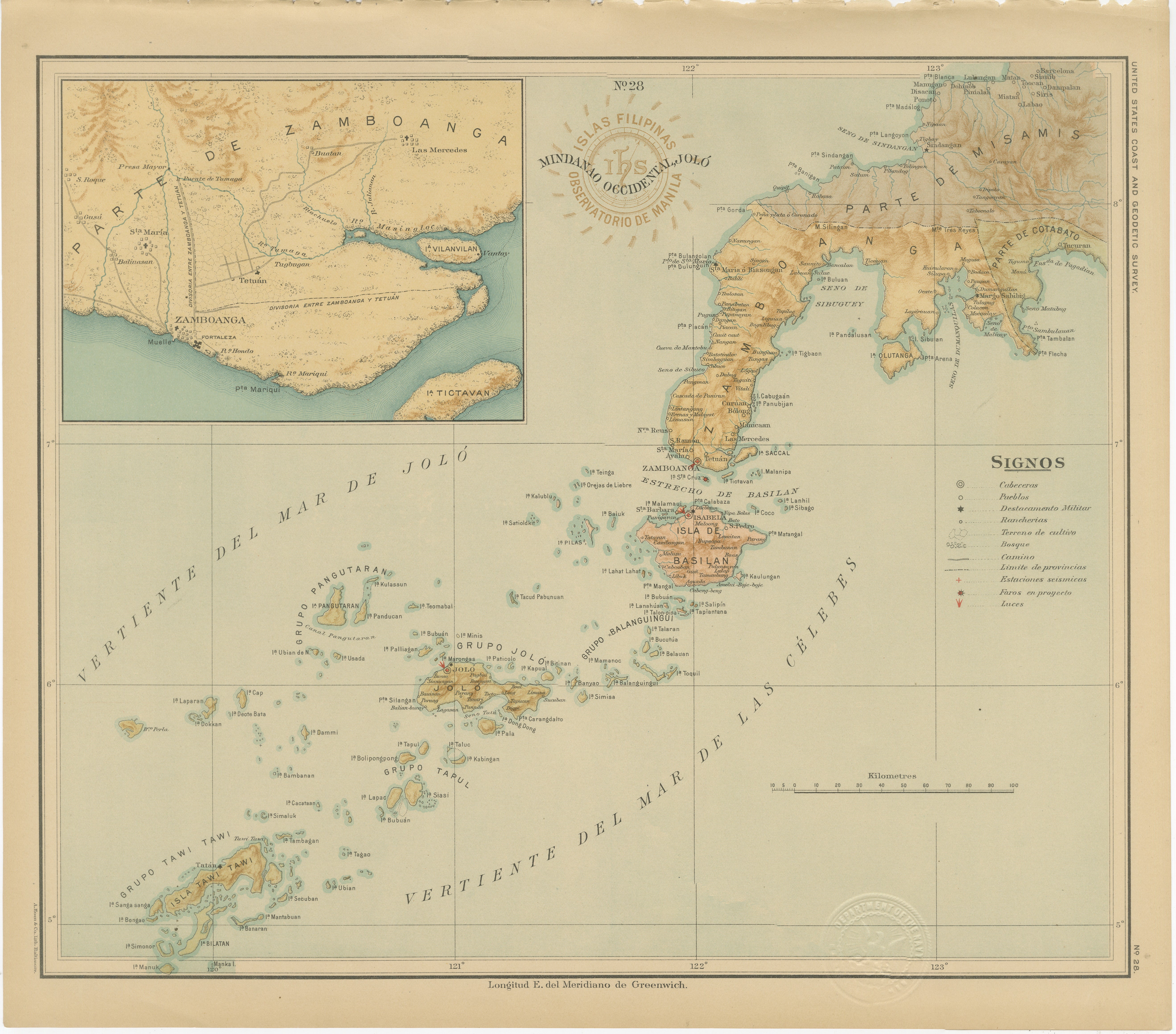
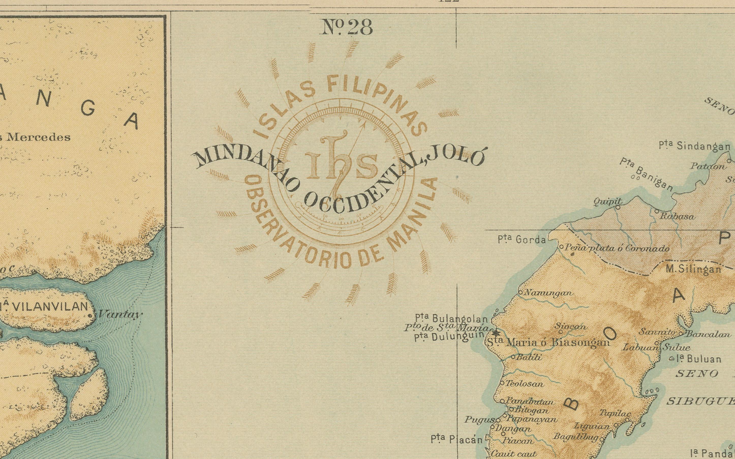
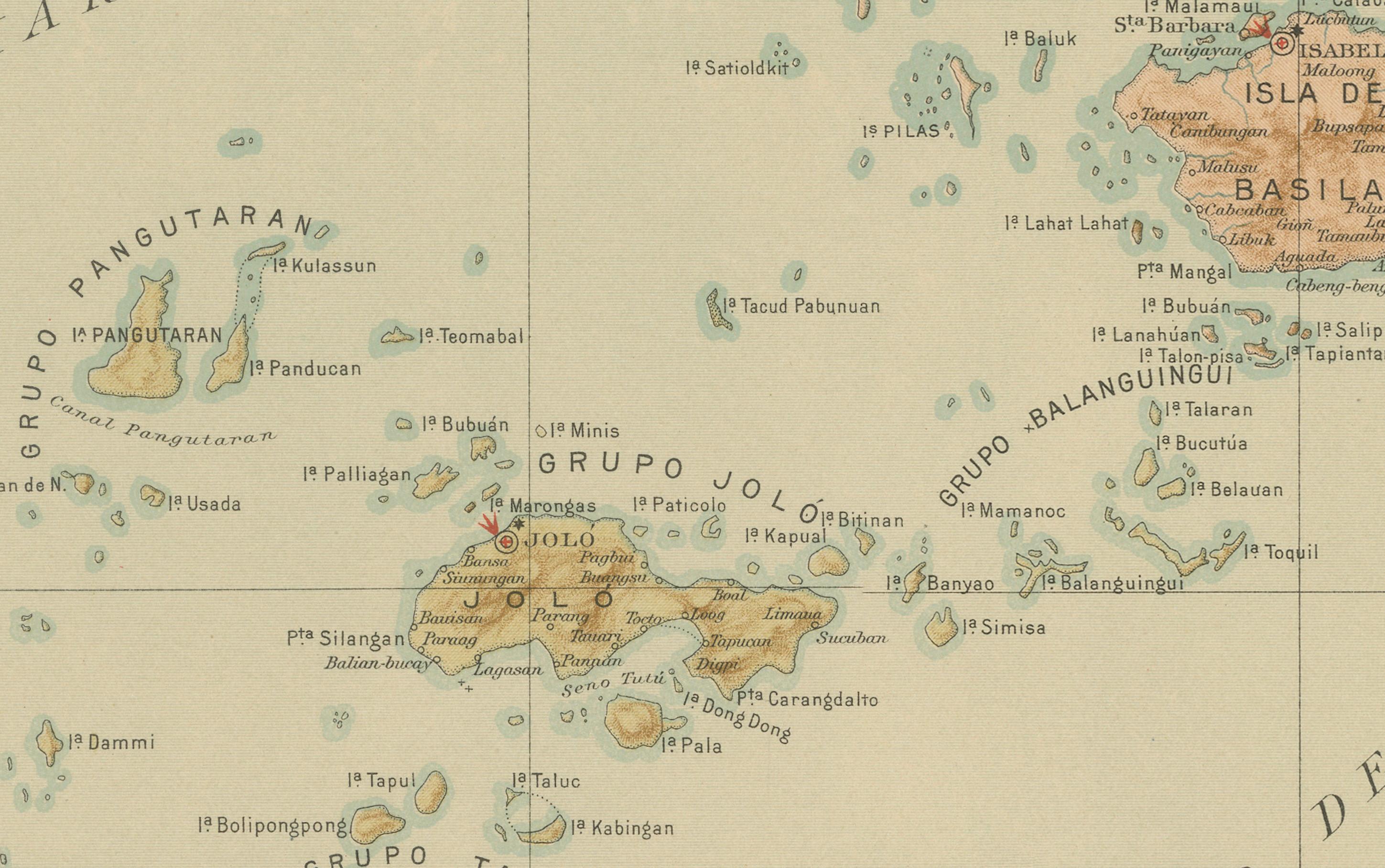
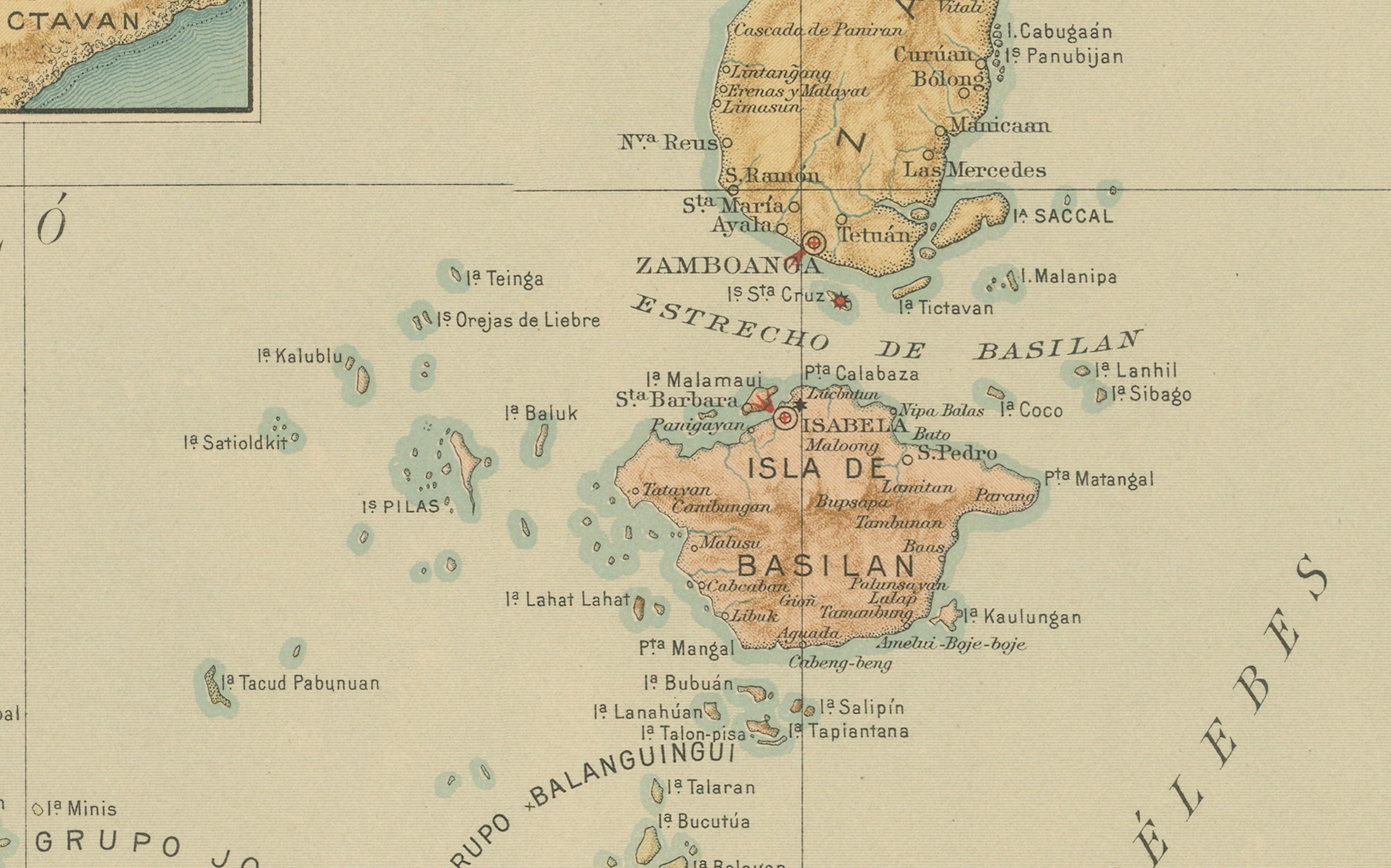
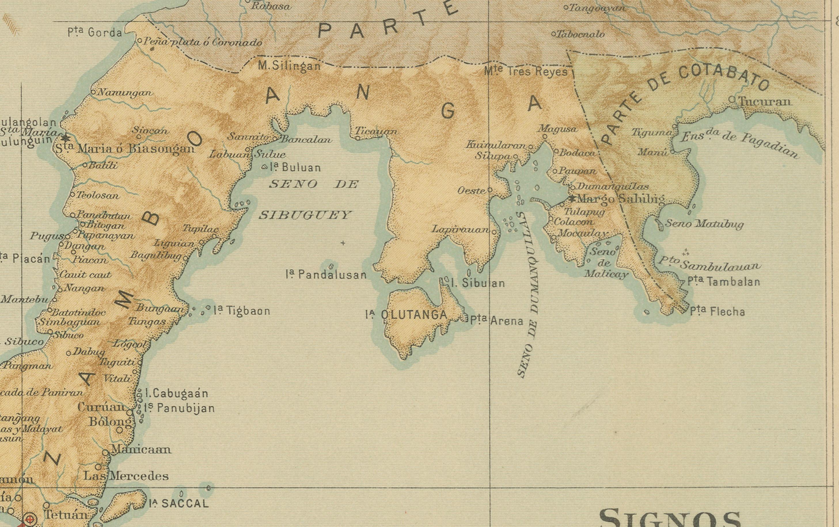
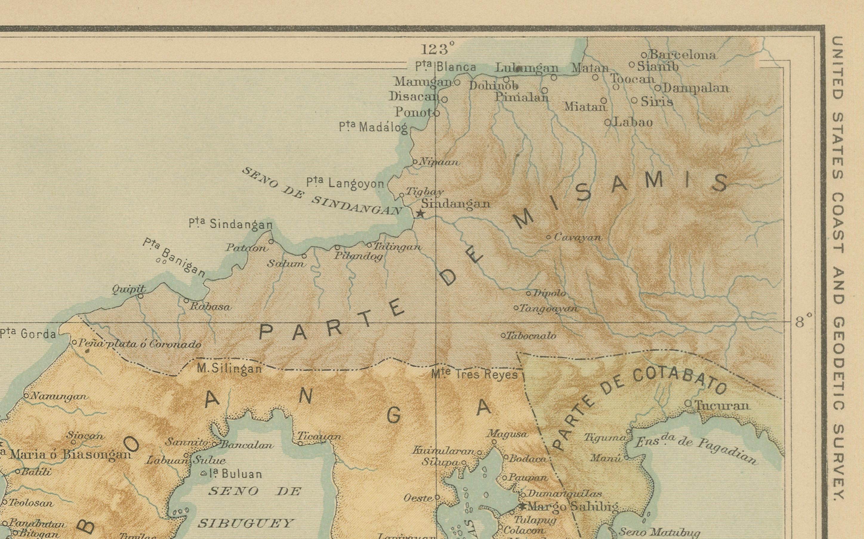
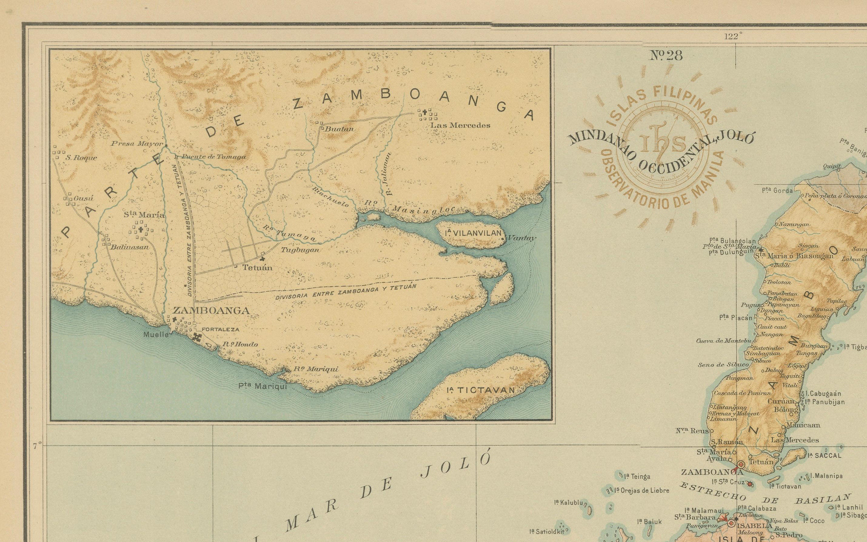
This original chromolithographed map titled “Islas Filipinas – Mindanao Occidental y Joló” (Plate No. 28) was created under the direction of Rev. José Algué, S.J., Director of the Observatorio de Manila, and published in 1899 as part of the Atlas de Filipinas. It depicts the western section of Mindanao, including the Zamboanga Peninsula and the Sulu Archipelago, one of the most historically and strategically significant regions in the southern Philippines.
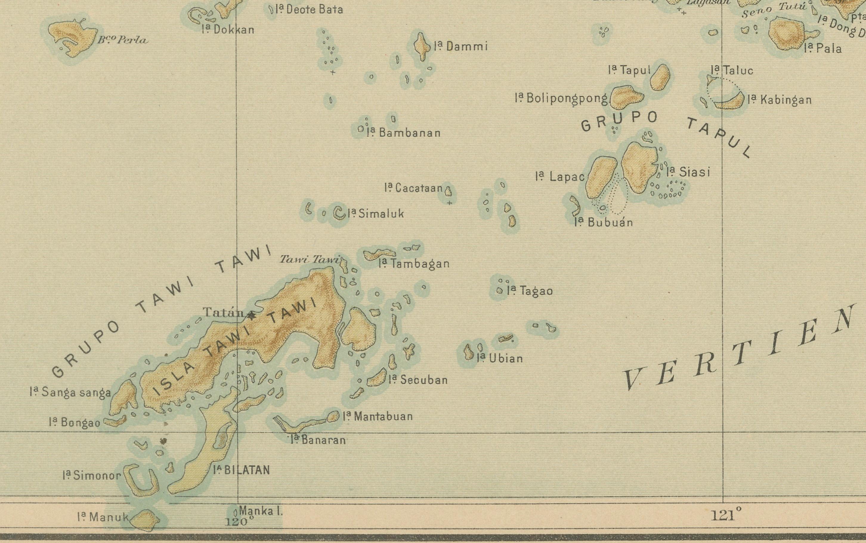
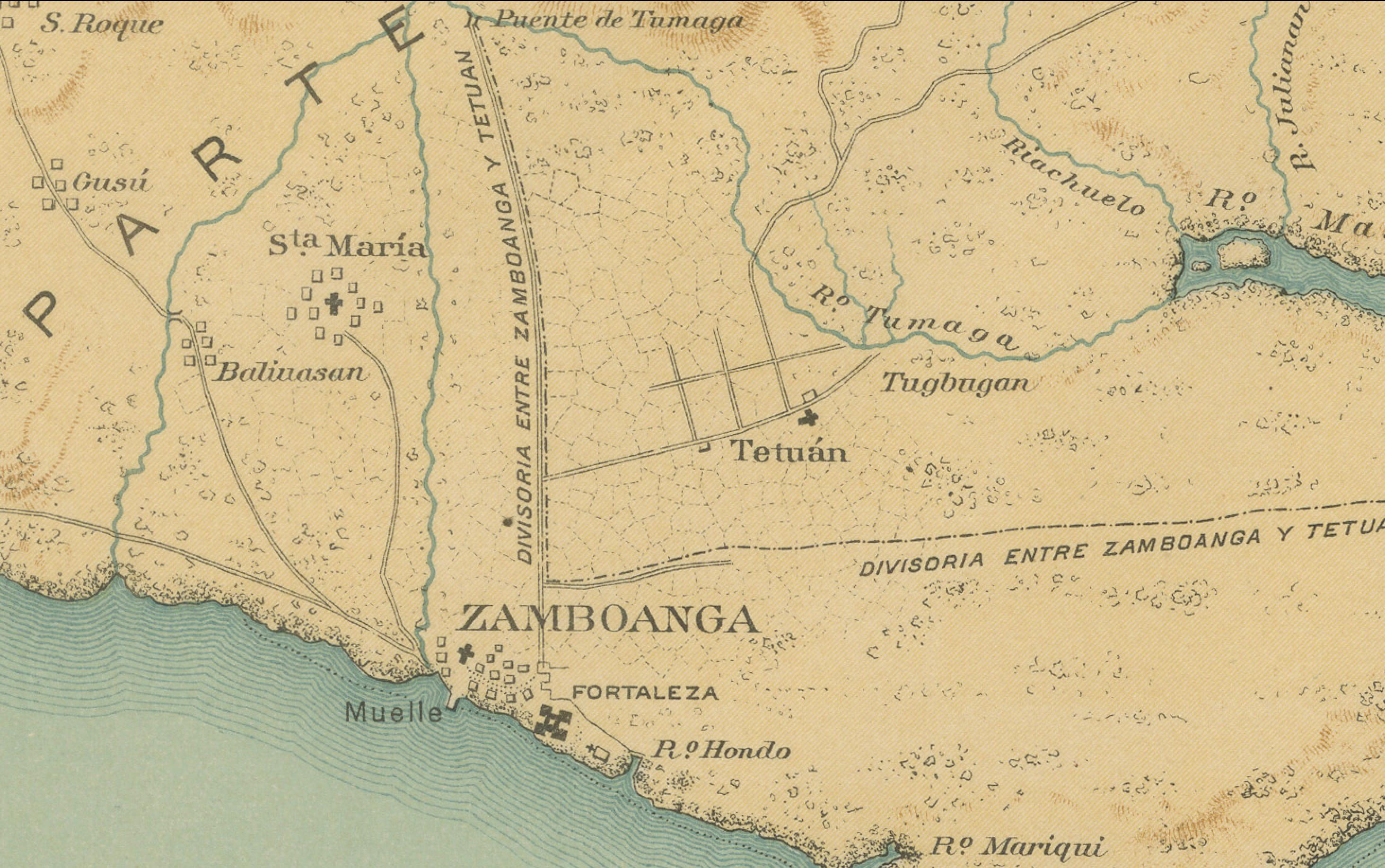
The map extends from the province of Misamis down to Zamboanga and westward across the Sulu Sea to the islands of Basilan, Jolo, and the Tawi-Tawi group. The inset at the upper left provides a finely detailed view of the town and harbor of Zamboanga, including the fortifications, roads, and adjacent coastline. This level of precision illustrates the Jesuit Observatory’s dedication to both scientific geography and administrative utility.
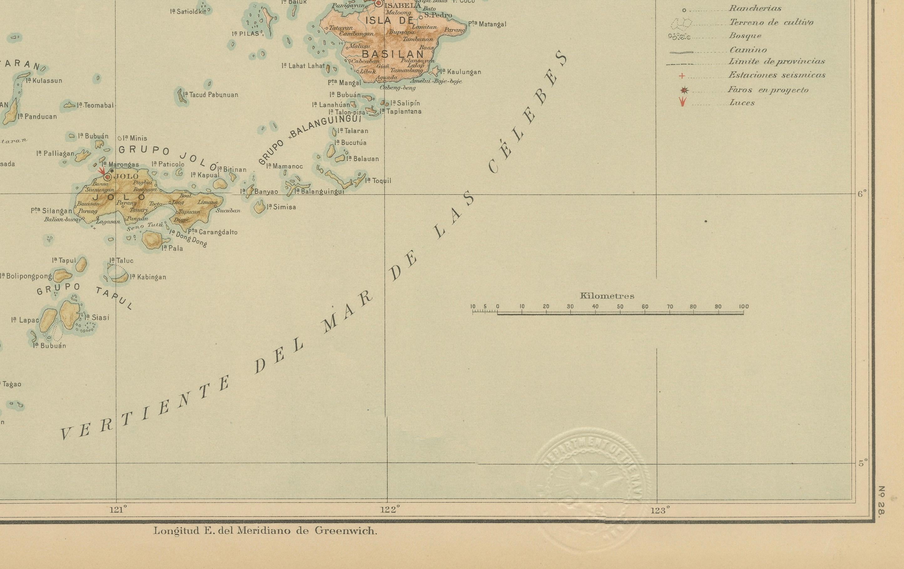
The cartography is rendered in subtle shades of brown, green, and blue, effectively conveying relief and bathymetry. The “Signos” legend identifies a variety of symbols, marking capitals, pueblos, military installations, telegraph lines, and meteorological observatories. Of particular interest is the delineation of sea routes and soundings throughout the Sulu Archipelago, showing the importance of navigation and trade across these channels connecting the Celebes and Sulu Seas.
Stamped with the circular brown seal of the “Observatorio de Manila” and embossed with the official insignia of the “U.S. Coast and Geodetic Survey,” this plate represents the Jesuit Observatory’s scientific excellence and its transition into the early American mapping projects of the Philippine archipelago. These maps were integral to the first comprehensive U.S. Atlas of the Philippine Islands published in Washington in 1900.
Condition: Excellent, with vibrant original color and clean paper throughout. Margins lightly toned; embossed and inked seals are sharp and clearly visible.
Framing tips: A warm mahogany or deep walnut frame with an off-white mat will highlight the delicate colors of the map. This plate pairs beautifully with its companion sheet of Eastern Mindanao, forming a complete representation of the southern Philippines.
Technique: Chromolithograph on paper
Maker: Rev. José Algué, S.J., Observatorio de Manila, 1899