About this sheet
Here’s a catalogue entry for your **Johnston map of Greece and Crete**:
---
**Main Title**
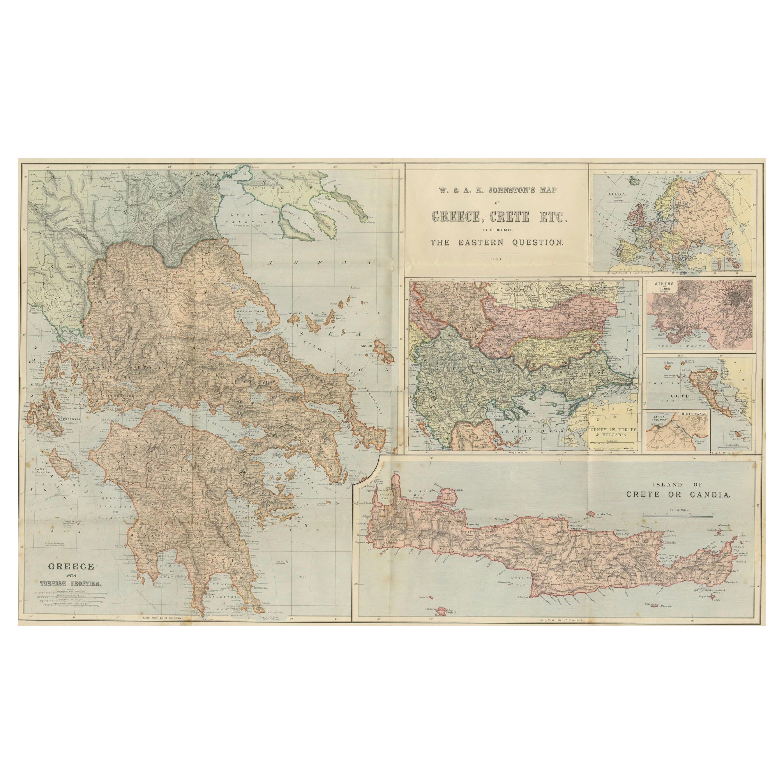
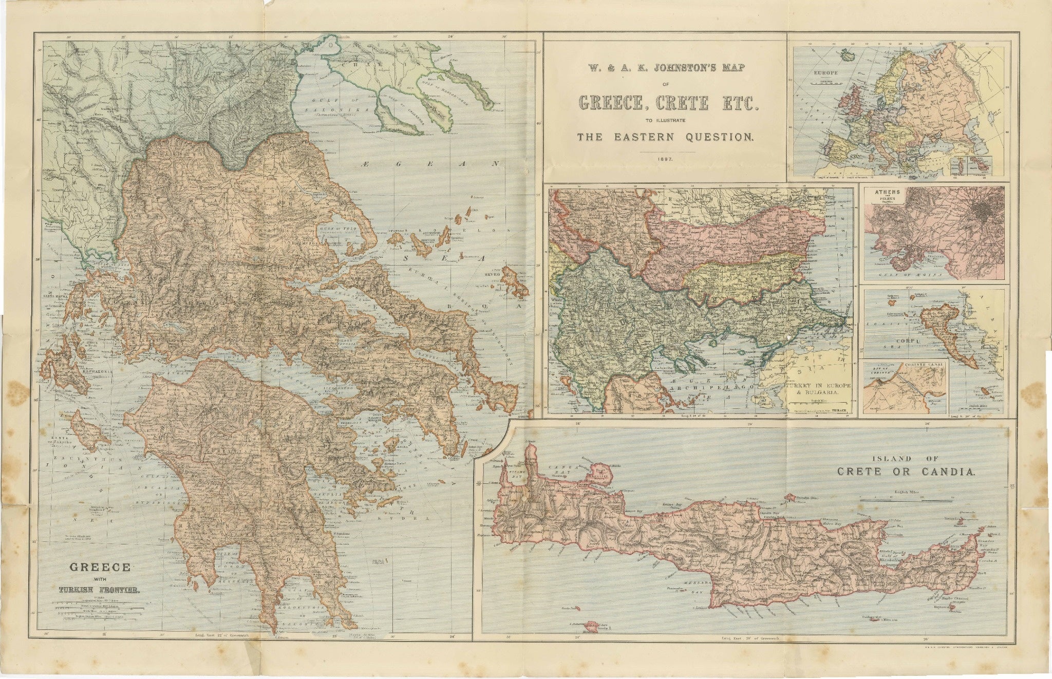
Antique Map of Greece & Crete – Johnston’s Eastern Question Map, 1887
**SEO Alternative Title**
Johnston Map of Greece & Crete 1887 – The Eastern Question Antique Map
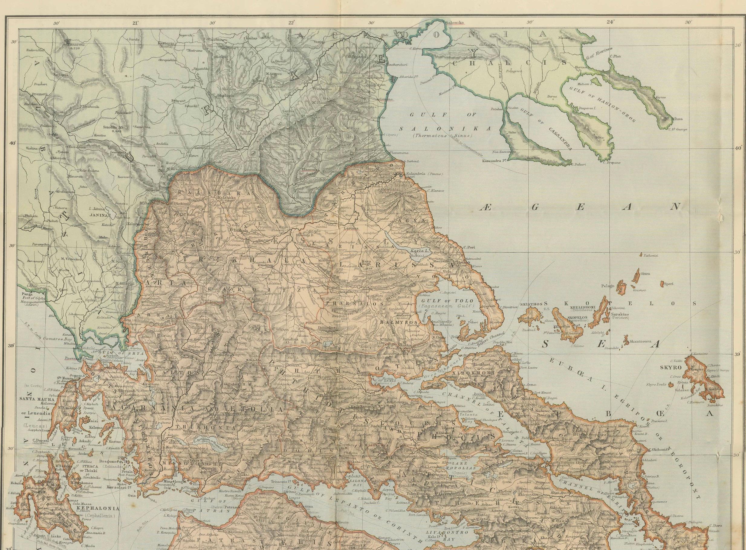
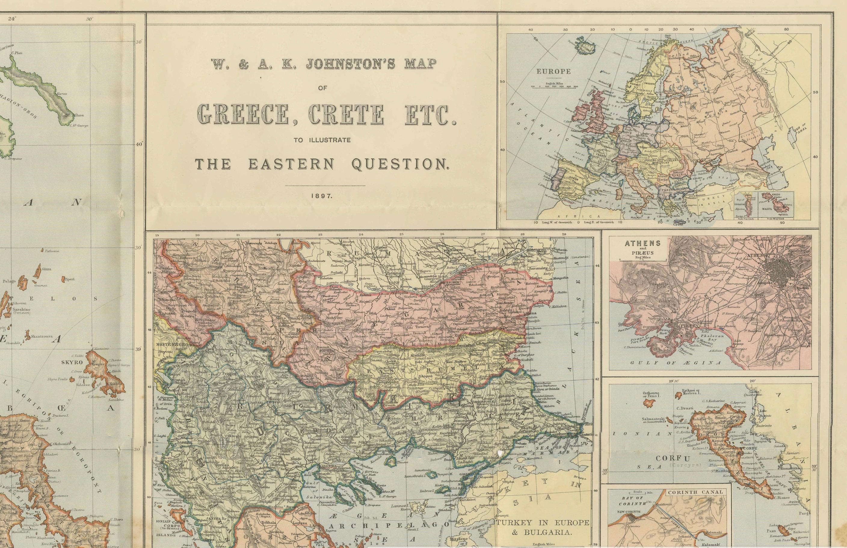
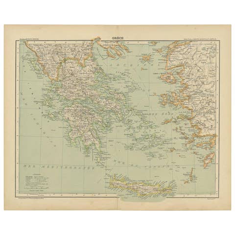
This antique map, titled *“W. & A.K. Johnston’s Map of Greece, Crete etc. to Illustrate The Eastern Question”*, was published in 1887 in Edinburgh and London. It was designed to accompany contemporary debates over the so-called “Eastern Question” — the political and military rivalries surrounding the decline of the Ottoman Empire and the future of its territories in the Balkans and Eastern Mediterranean.
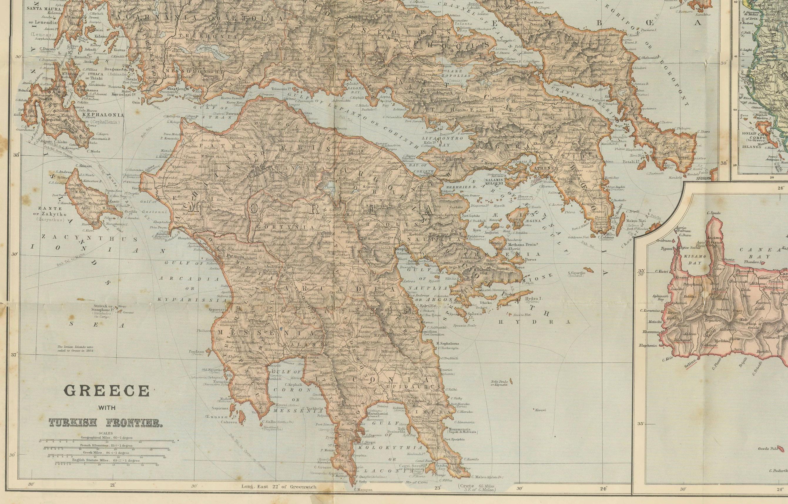
The main map shows Greece in detail, with its frontiers against the Ottoman Empire clearly marked. The Peloponnese, central Greece, Thessaly, Epirus, and the Aegean islands are finely engraved with towns, mountains, rivers, and coastal features. Particular emphasis is given to strategic locations such as Athens, Corinth, and the Gulf of Patras.
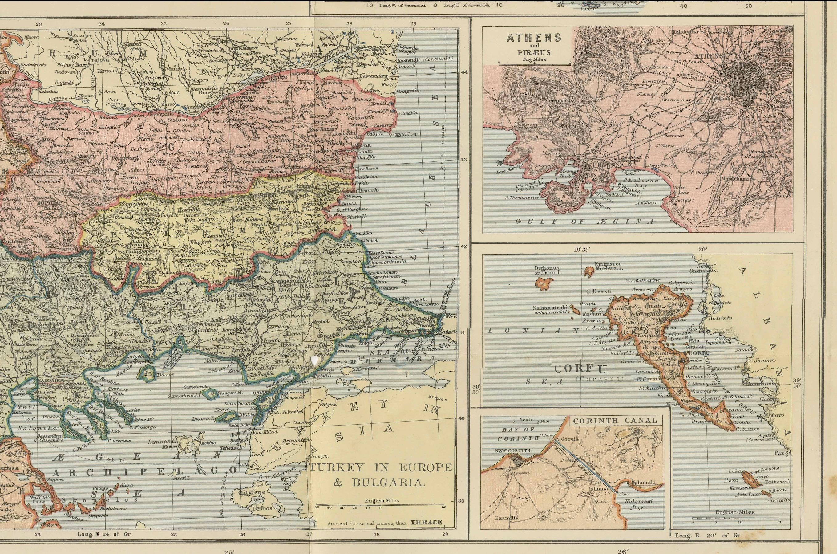
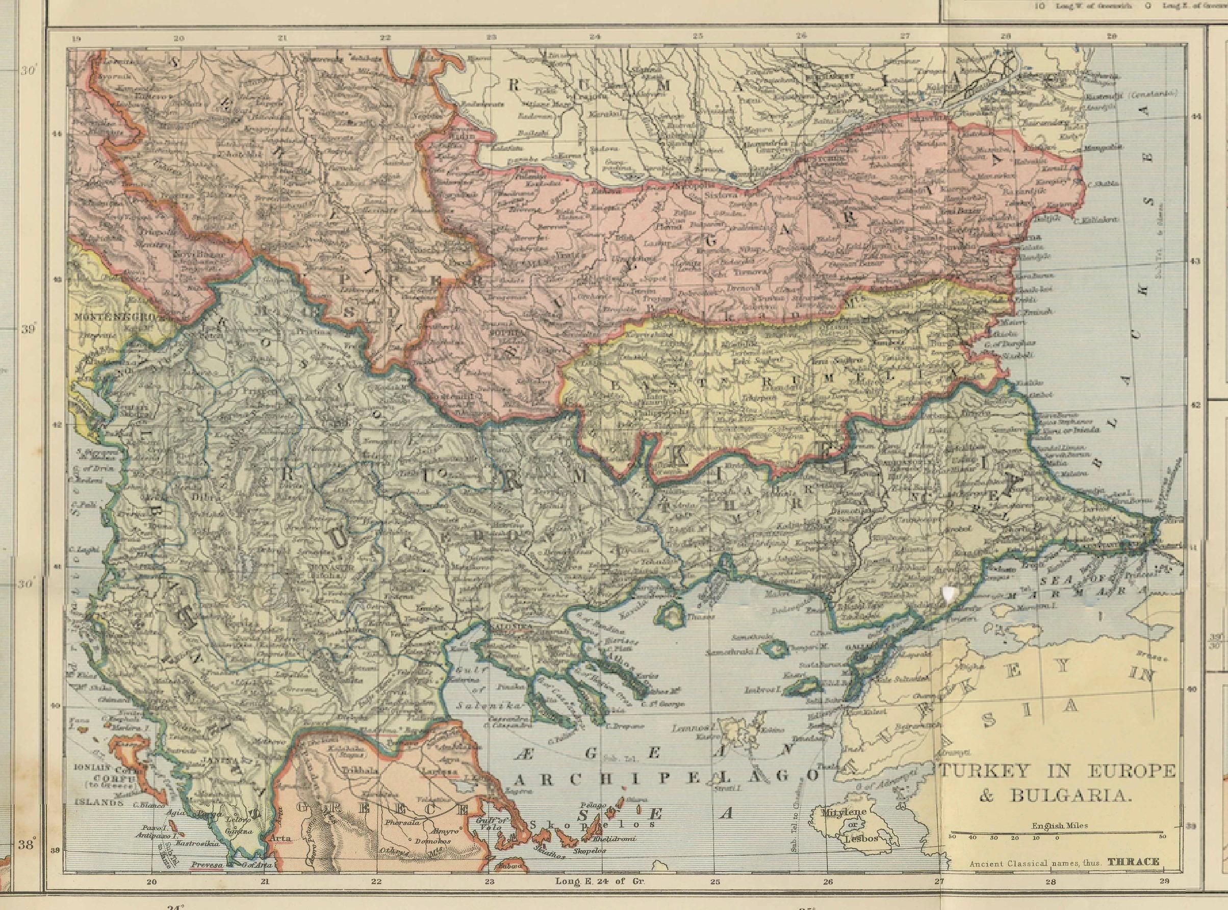
Inset maps in the right-hand panel provide additional context. These include:
* The wider Balkan region showing the Ottoman Empire, Bulgaria, and neighboring territories.
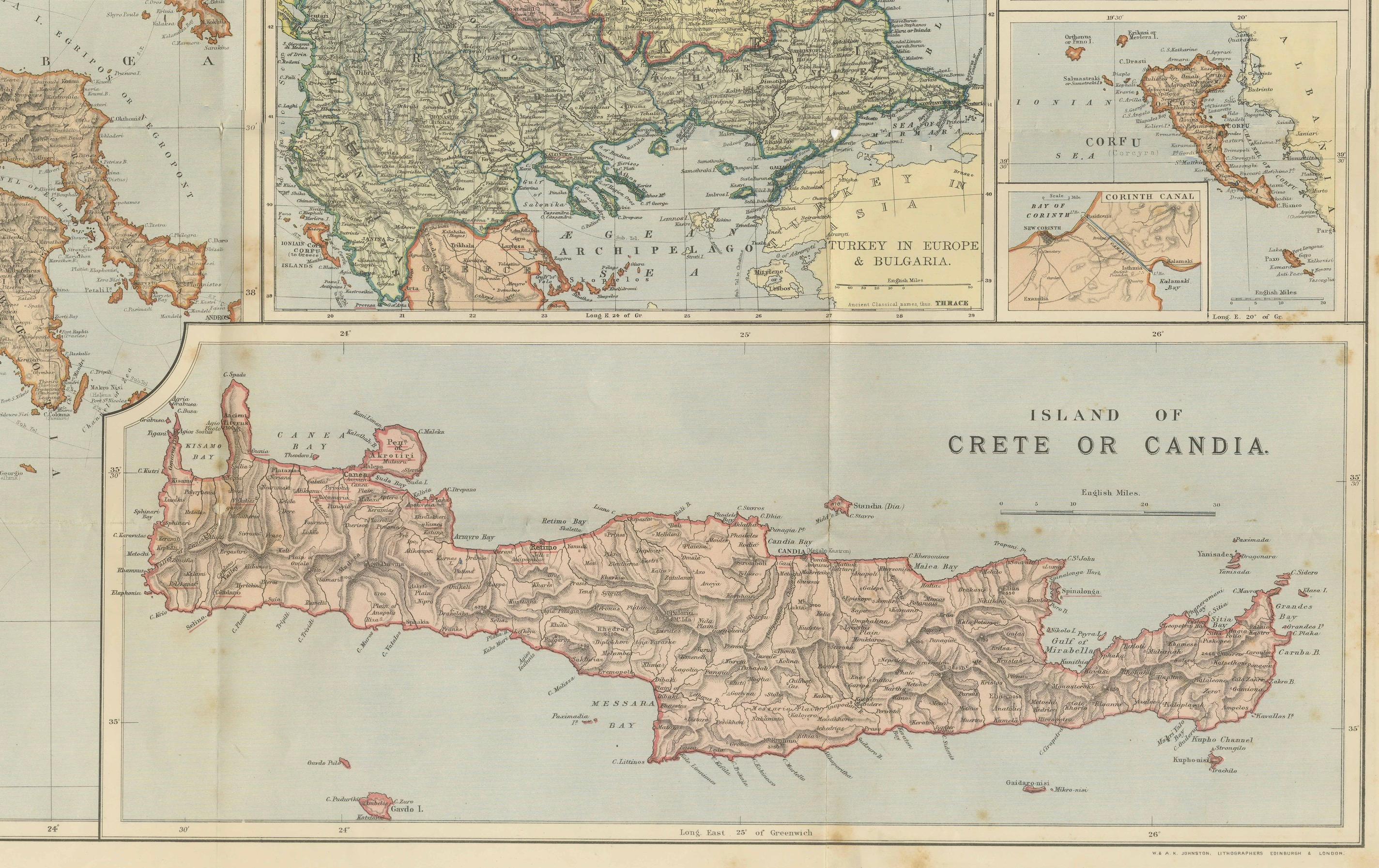
* A detailed map of Crete (labeled *Candia*), reflecting the island’s contested position in the 19th century.
* Insets of Corfu, Athens, and surrounding islands.
* A situational map of Europe to place the Eastern Mediterranean in its broader geopolitical frame.
Crete is shown in great detail, with mountain ranges, towns, ports, and fortifications carefully marked, underscoring its importance to both Greek national aspirations and Ottoman defense.
This map captures a key historical moment: the Greek state had recently expanded its frontiers, while tensions with the Ottoman Empire remained high. It was intended not just as a geographical tool but also as a political reference for readers of newspapers and journals following the shifting alliances in southeastern Europe.
Condition: Fair to Good. Original color printing with some age toning and foxing, particularly in the margins and folds. Paper remains strong, with old fold lines as issued but with a few small holes at the crossings. Ready to be framed.
Framing tips: A strong display piece for both collectors of Greek history and 19th-century political cartography. A dark wood or gilt frame with a cream mat would emphasize the map’s color washes and highlight the inset maps.
Technique: Lithograph with original color
Maker: W. & A.K. Johnston, Edinburgh & London, 1887
Collector’s note: W. & A.K. Johnston was one of the most respected Scottish publishing houses of the 19th century, producing atlases, school maps, and wall maps of high quality. Their maps dealing with contemporary political issues such as the “Eastern Question” were widely circulated and remain significant both as geographical documents and as reflections of European political anxieties in the late 19th century.*