About this sheet
Antique Map Arabia, Johnston 1909, Middle East Ottoman Peninsula
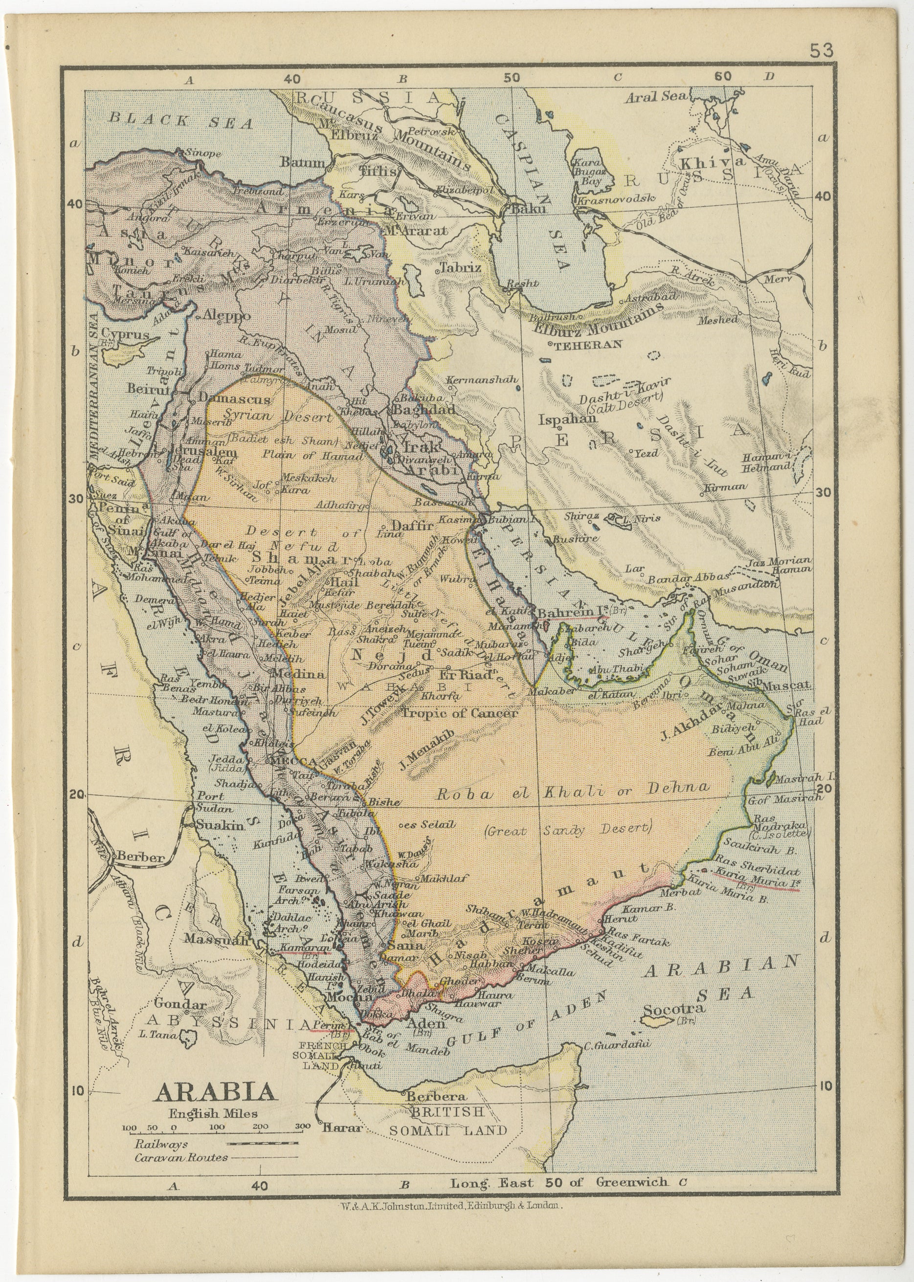
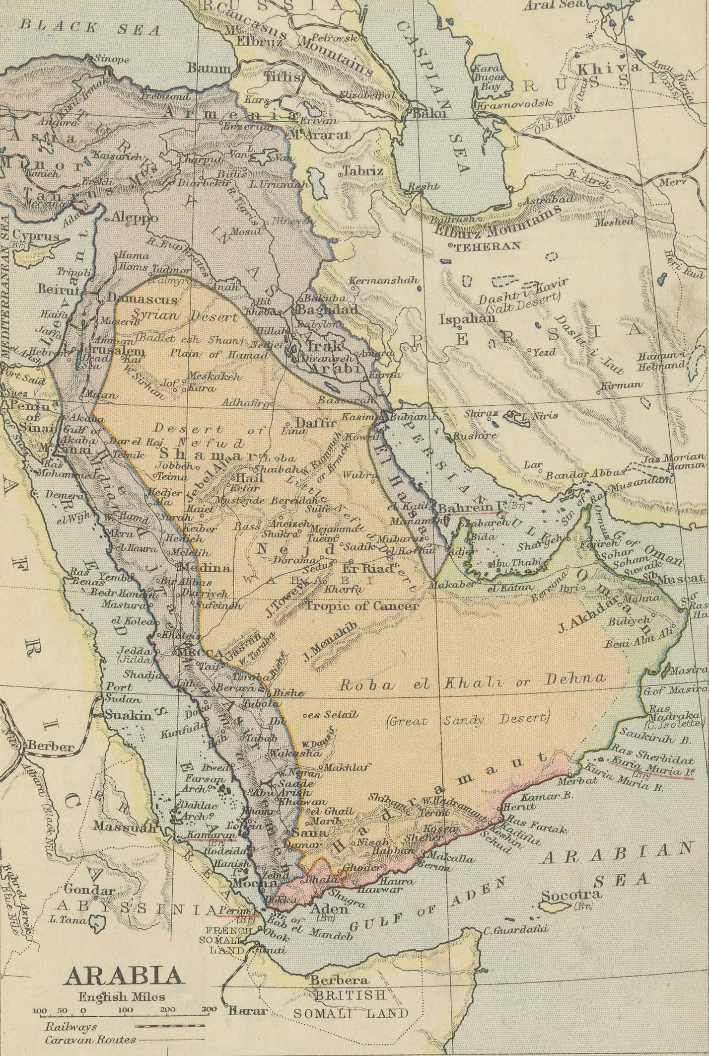
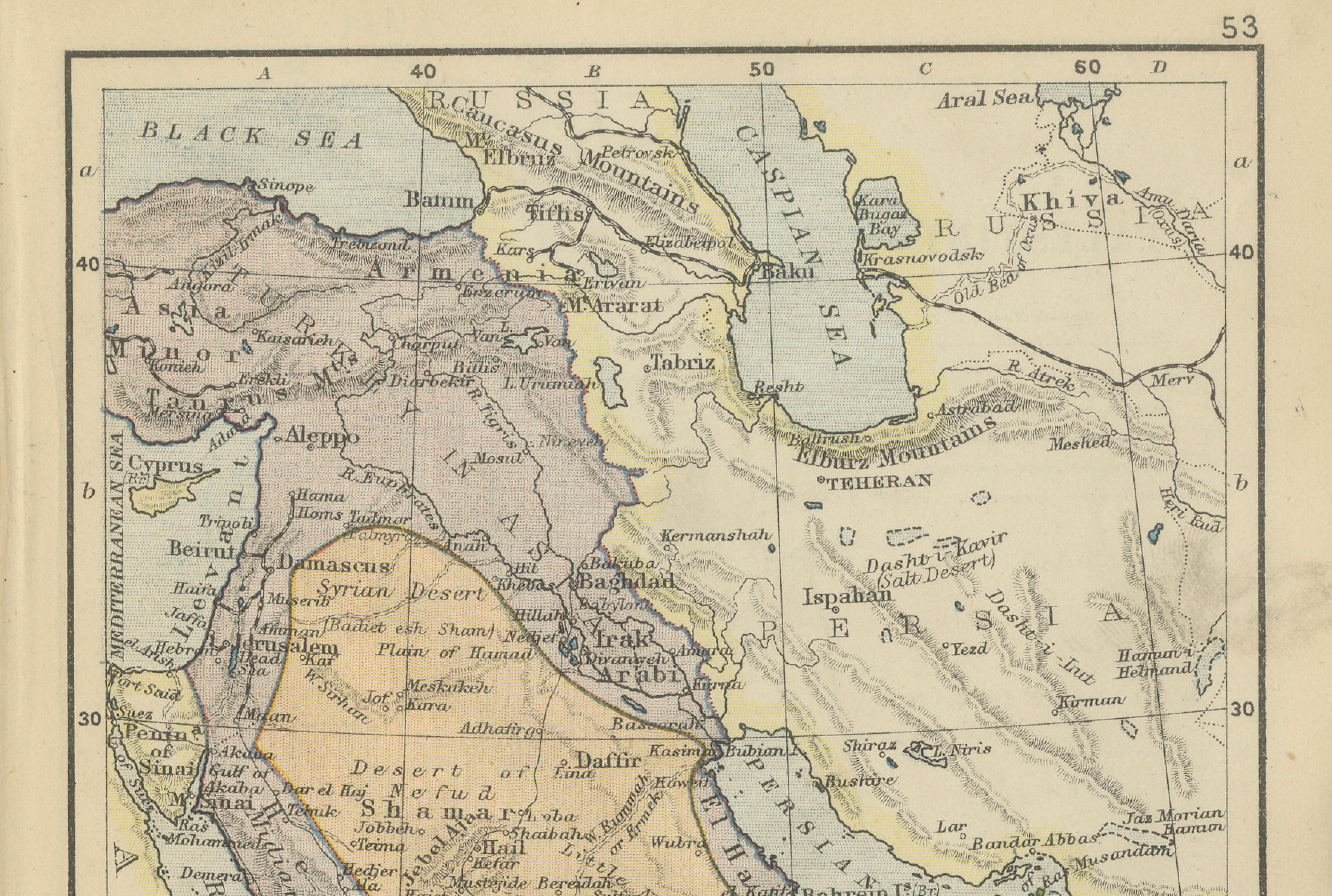
A finely detailed and historically rich map of the Arabian Peninsula, titled “Arabia,” produced by the renowned Scottish cartographic firm W. & A.K. Johnston Limited of Edinburgh and London, circa 1909. This map reflects a pivotal moment in Middle Eastern history, when the region was still largely under Ottoman influence, just prior to the major geopolitical transformations of the early 20th century.
The composition presents the Arabian Peninsula in clear and elegant detail, with subtle original hand coloring distinguishing political territories and geographic regions. The map carefully delineates Ottoman-controlled areas such as the vilayets of Basra and Hejaz, alongside zones of growing British influence, particularly in Aden and British Somaliland. These elements make the map not only visually appealing but also historically significant, capturing the shifting balance of power in the region.
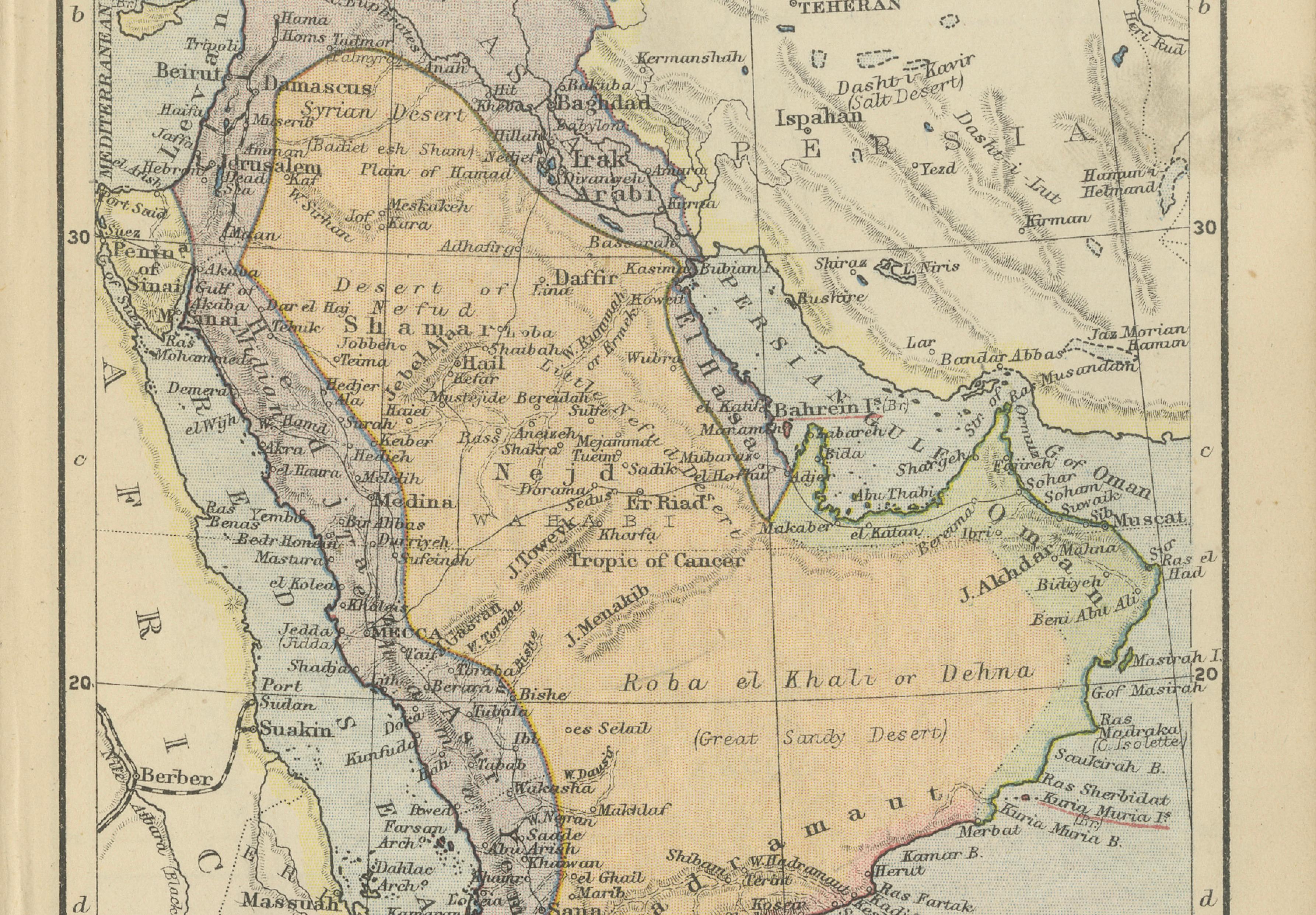
Geographically, the map is highly informative, showing major natural features including the vast Roba el Khali (Empty Quarter), noted here as the “Great Sandy Desert,” as well as the mountain ranges running along the Red Sea coast. Important cities such as Mecca, Medina, Baghdad, and Damascus are clearly marked, reflecting both trade and pilgrimage routes central to the region’s identity.
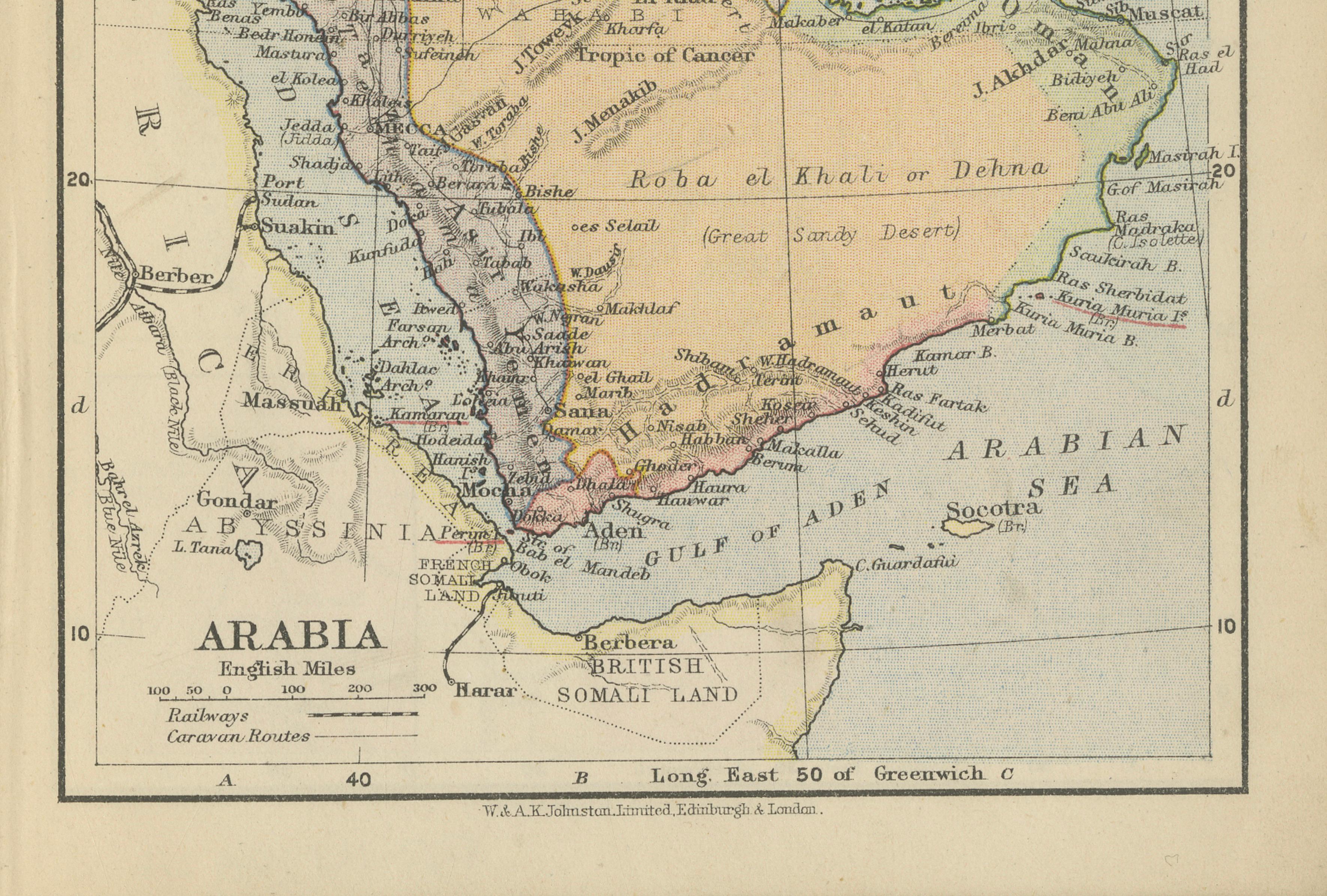
A particularly attractive feature is the inclusion of railways and caravan routes, identified in a reference key at the lower left. These routes illustrate the essential infrastructure of commerce and pilgrimage during the late Ottoman period, offering insight into how goods and people moved across this vast and often inhospitable landscape.
The map also extends beyond the peninsula, incorporating surrounding regions such as Abyssinia (modern Ethiopia), the Persian Gulf, and parts of the Russian Empire to the north, placing Arabia within a broader geopolitical context.
This piece is highly suitable for collectors of Middle Eastern cartography, colonial-era maps, or those seeking a decorative yet historically meaningful object. Its warm tones and balanced composition make it particularly well-suited for both classic and contemporary interiors.
Note: The print is sold unframed; any framed images are shown for presentation and interior inspiration only. On the reverse a map of Palestine.
Condition: Good condition with age-related toning and light surface wear. Minor edge wear and soft creasing consistent with age. Plate edges and margins remain intact, with strong overall color and clarity.
Framing tips: Best presented in a dark walnut or ebonized frame with a wide ivory mat to enhance contrast and warmth. Works exceptionally well in a study, library, or refined modern interior, particularly with soft directional lighting to highlight the subtle hand coloring.
Technique: Lithograph with original hand color
Maker: W. & A.K. Johnston Limited, Edinburgh & London, circa 1909