About this sheet
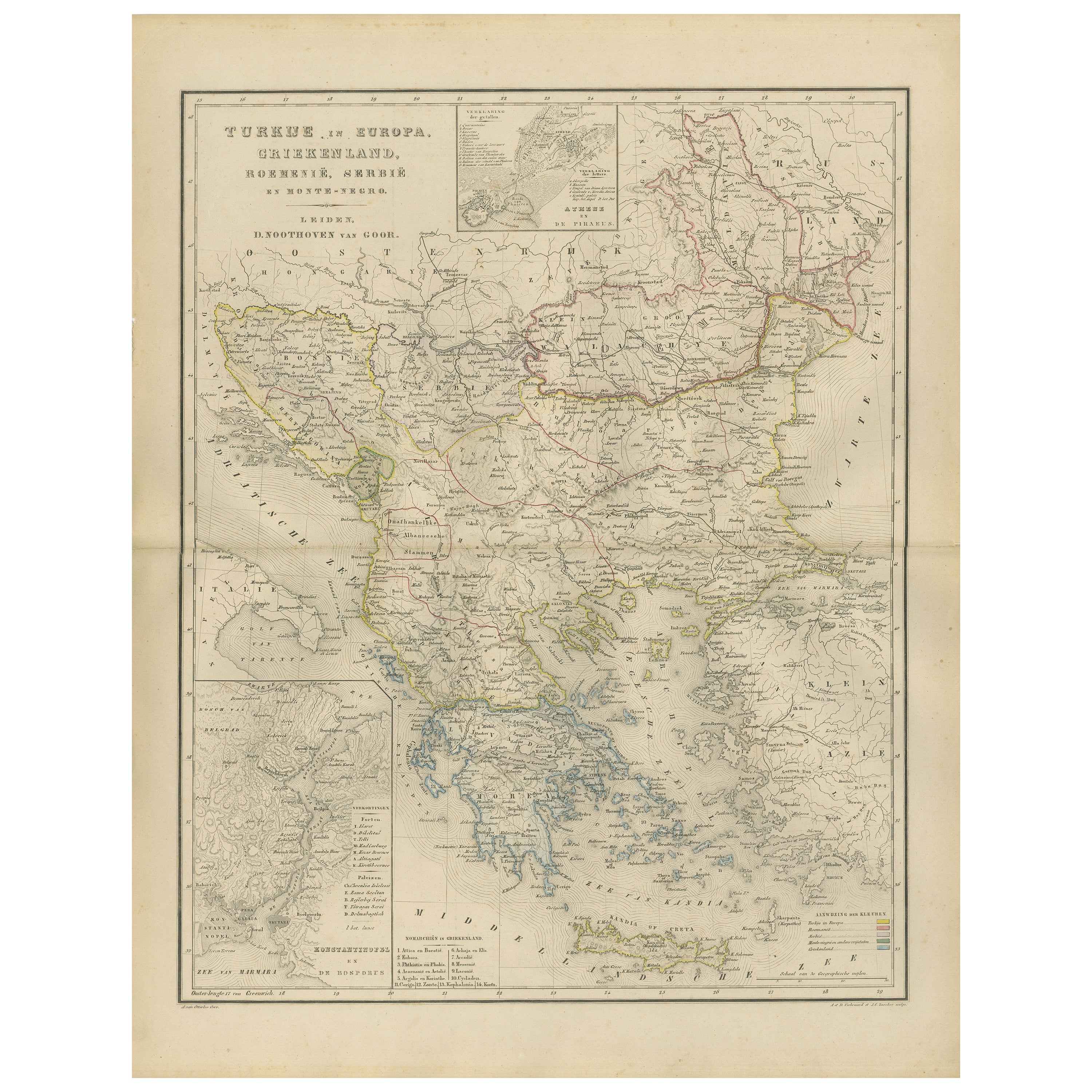
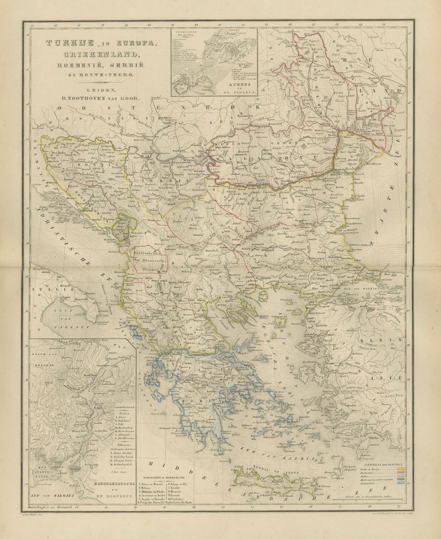
Balkans & Ottoman Europe Map with Athens Inset – Nieuwe Hand-Atlas, 1876
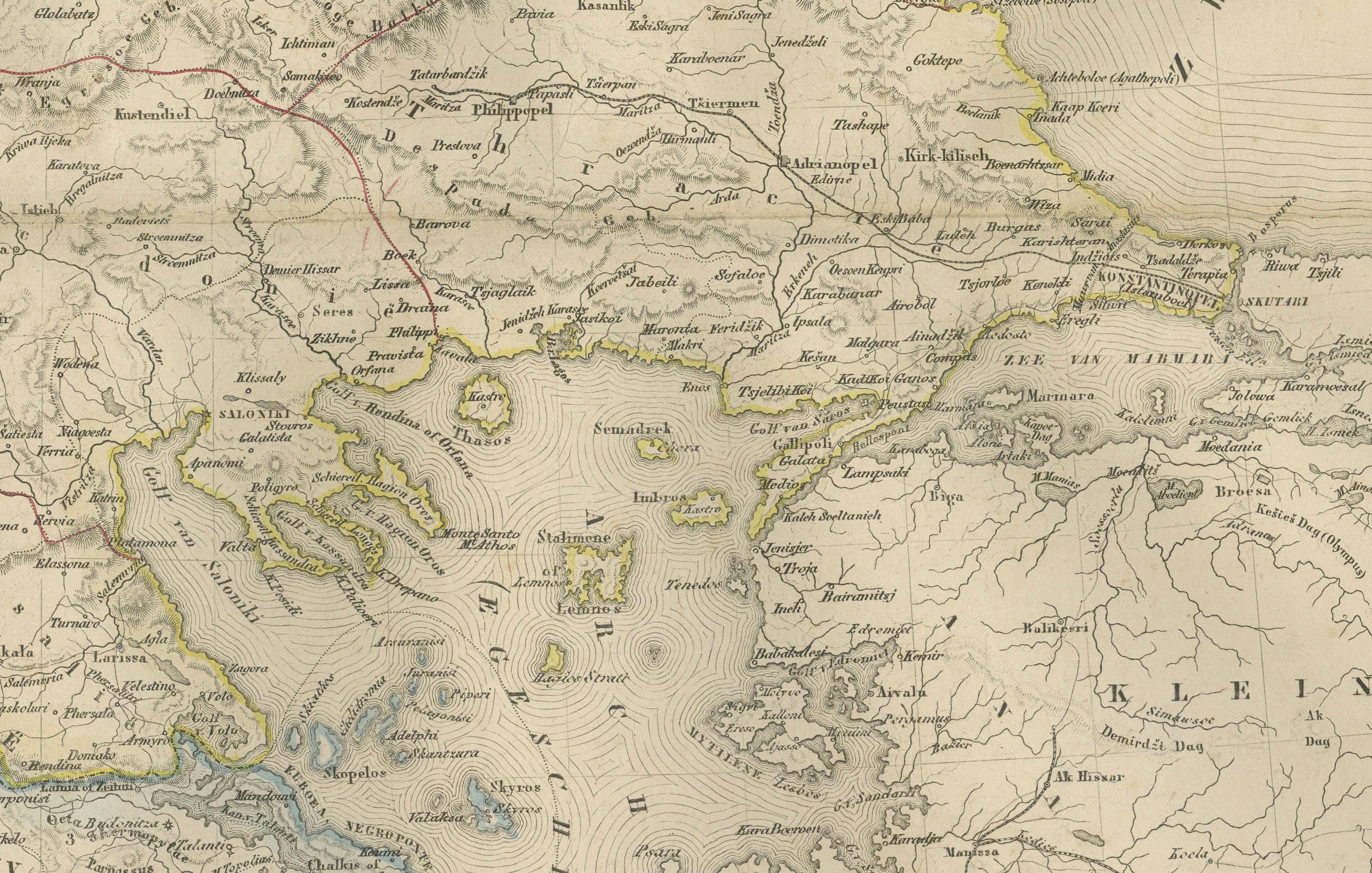
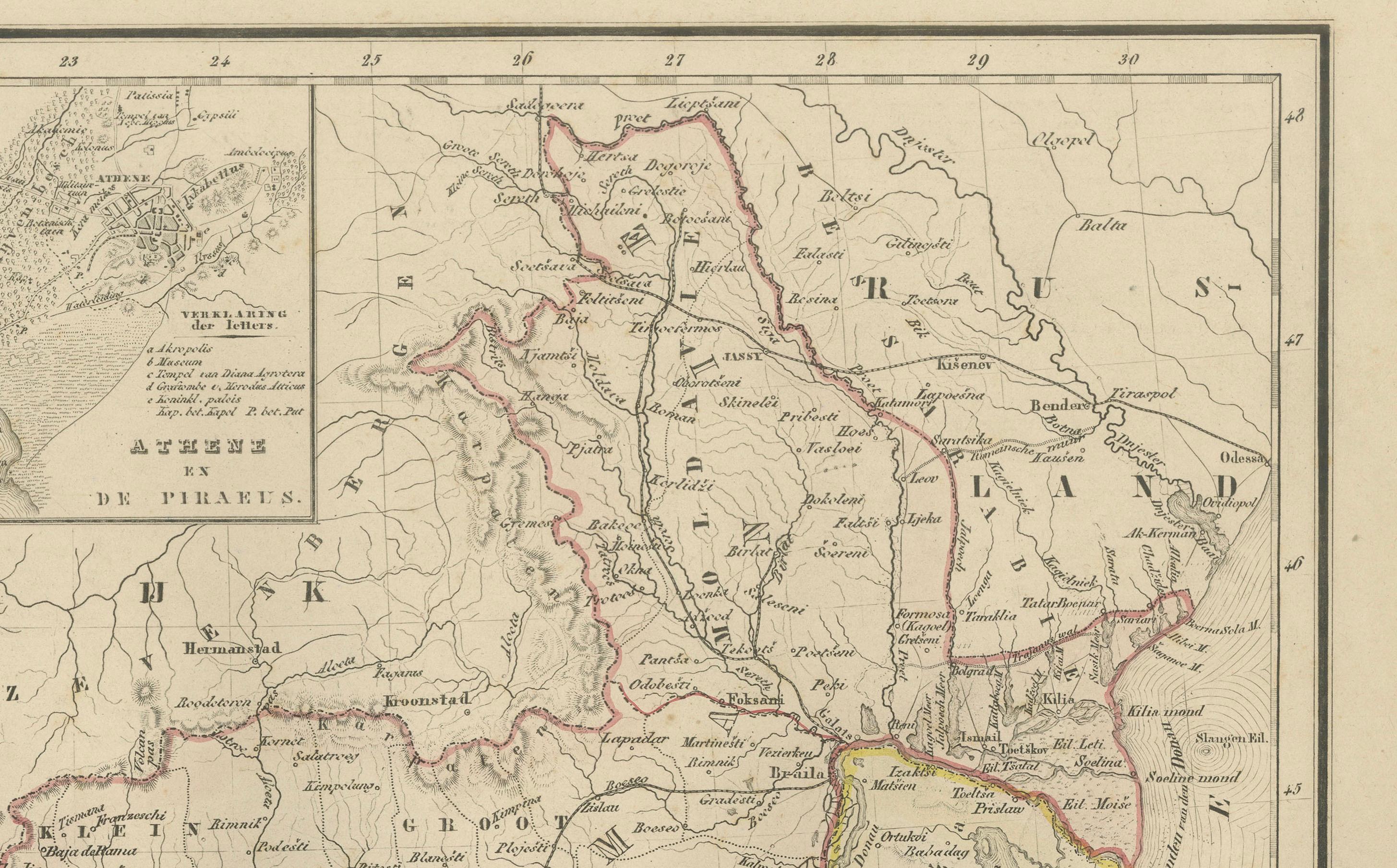
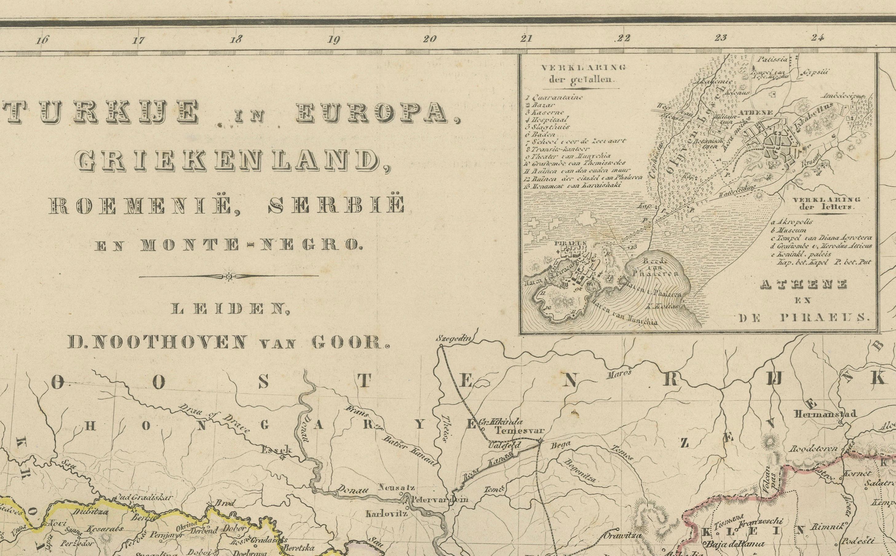
This impressive 19th-century map titled “Turkije in Europa, Griekenland, Roemenië, Servië en Montenegro” provides a richly detailed view of the Balkan Peninsula and the remaining European territories of the Ottoman Empire during a critical historical moment. Published in 1876 in the Nieuwe Hand-Atlas der Aarde in haren Tegenwoordigen Toestand by M. Frijlink, revised by A. van Otterloo and printed by D. Noothoven van Goor in Leiden, this map captures the political and geographical landscape of the Balkans just before the Russo-Turkish War (1877–78) and the subsequent Treaty of Berlin reshaped the region.
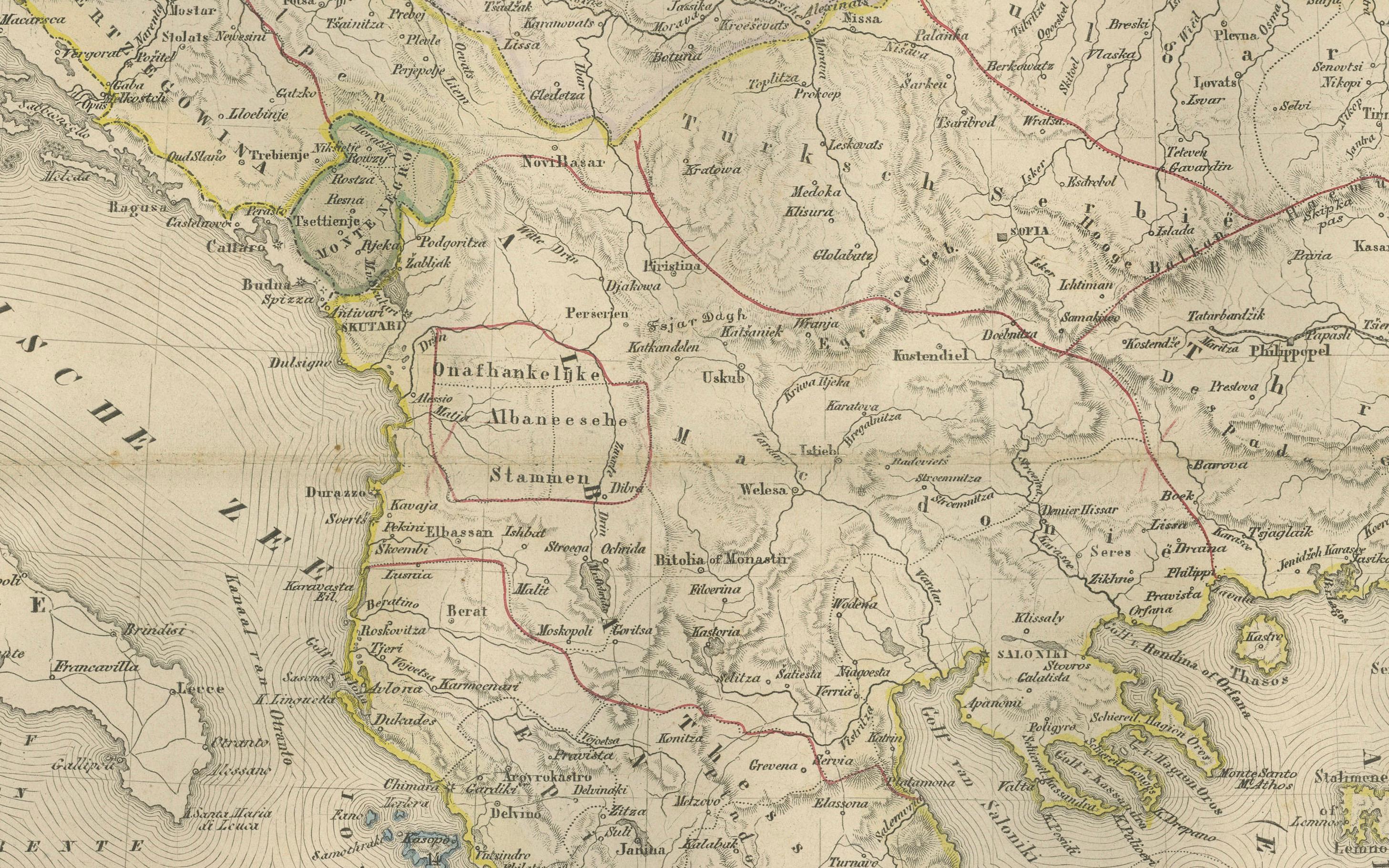
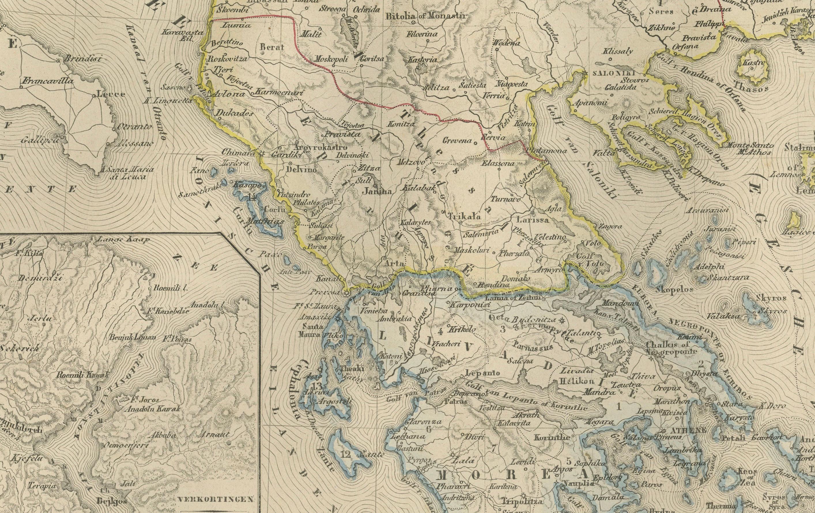
The map spans from the Adriatic Sea to the Black Sea, and from the Danube valley down to Crete, covering modern-day Greece, Albania, North Macedonia, Bulgaria, Romania, Serbia, Montenegro, Bosnia and Herzegovina, Thrace, European Turkey, and the Aegean Islands. Hand-colored boundary lines clearly distinguish political units including the Kingdom of Greece, the Principality of Serbia, the United Principalities of Wallachia and Moldavia (Romania), and Ottoman provinces such as Rumelia, Thessaly, Epirus, and Macedonia.
Major cities—Constantinople (Istanbul), Athens, Bucharest, Belgrade, Sofia, Salonika (Thessaloniki), Skodra, Ioannina, Larissa, Adrianople (Edirne), Varna, and Trabzon—are identified with fine engraving work. The map also reflects the complex geography of the region, showing mountain chains such as the Balkans, Pindus, Rhodope, and Dinaric Alps, as well as large river systems including the Danube, Morava, Drina, Vardar, Maritsa, and Iskar.
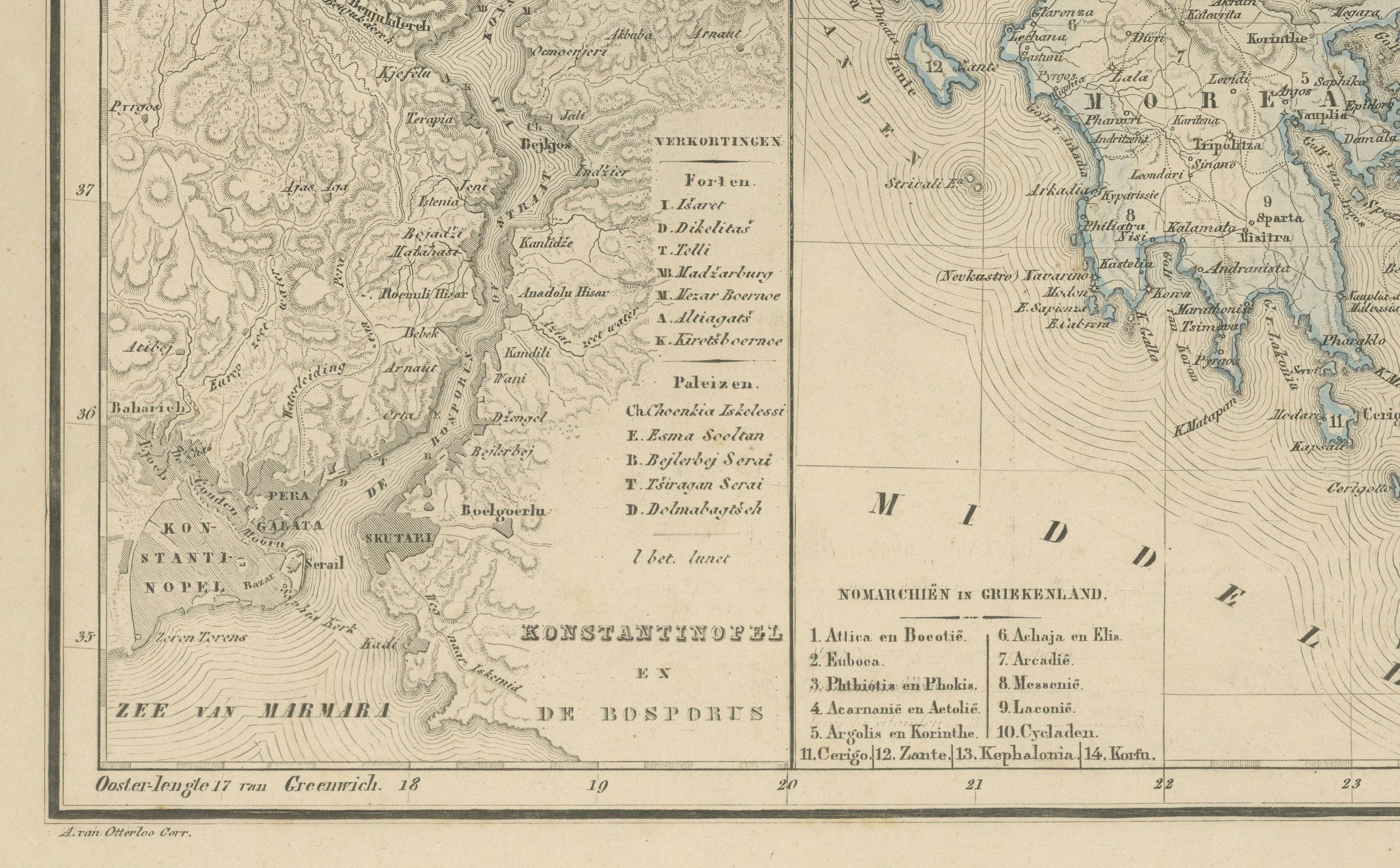
Inset maps provide valuable additional context: one illustrates the Bosphorus and surrounding fortifications, another focuses on Athens and Piraeus, and a third presents the region around the Gulf of Salonika and Northern Greece. These allow a closer look at strategic locations central to 19th-century European geopolitics.
This plate captures the Balkans at a moment of transition, when national movements were rising and the Ottoman Empire was gradually losing influence. The elegant engraving, refined typography, and harmonious composition are characteristic of Dutch educational cartography at its peak. Today, the map serves as a historical snapshot of a region defined by shifting borders, cultural layers, and emerging nation-states.
Condition Report:
Good condition with gentle toning and scattered small foxing marks, mostly in the margins. Original center fold as issued. Image clean and well-printed with soft, even hand-coloring. No tears, losses, or repairs.
Framing Tips: A light ivory or cream mat works beautifully to highlight the delicate color washes. A slim dark wood or black frame adds contrast and sophistication. Because the map includes attractive insets, a slightly wider mat border enhances balance and readability. Suitable for libraries, studies, travel-themed interiors, and collectors of Ottoman, Greek, and Balkan cartography.
Keywords: Balkans, Ottoman Empire, Turkey in Europe, European Turkey, Greece, Athens, Piraeus, Macedonia, Thrace, Epirus, Thessaly, Crete, Aegean Sea, Bulgaria, Sofia, Varna, Plovdiv, Romania, Bucharest, Wallachia, Moldavia, Danube, Serbia, Belgrade, Montenegro, Cetinje, Albania, Skodra, Ioannina, Thessaloniki, Salonika, Constantinople, Istanbul, Bosphorus, Dardanelles, Adriatic Sea, Aegean Islands, Balkan Peninsula, 19th century Balkans map, 1876 Ottoman map, Nieuwe Hand-Atlas.