South-East Europe · 20th century
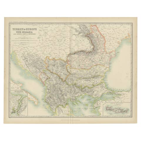
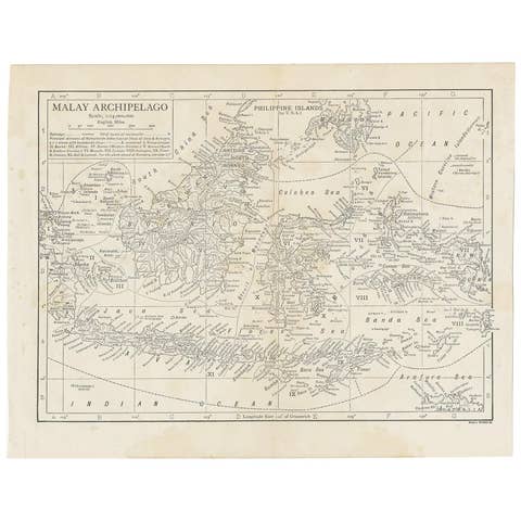
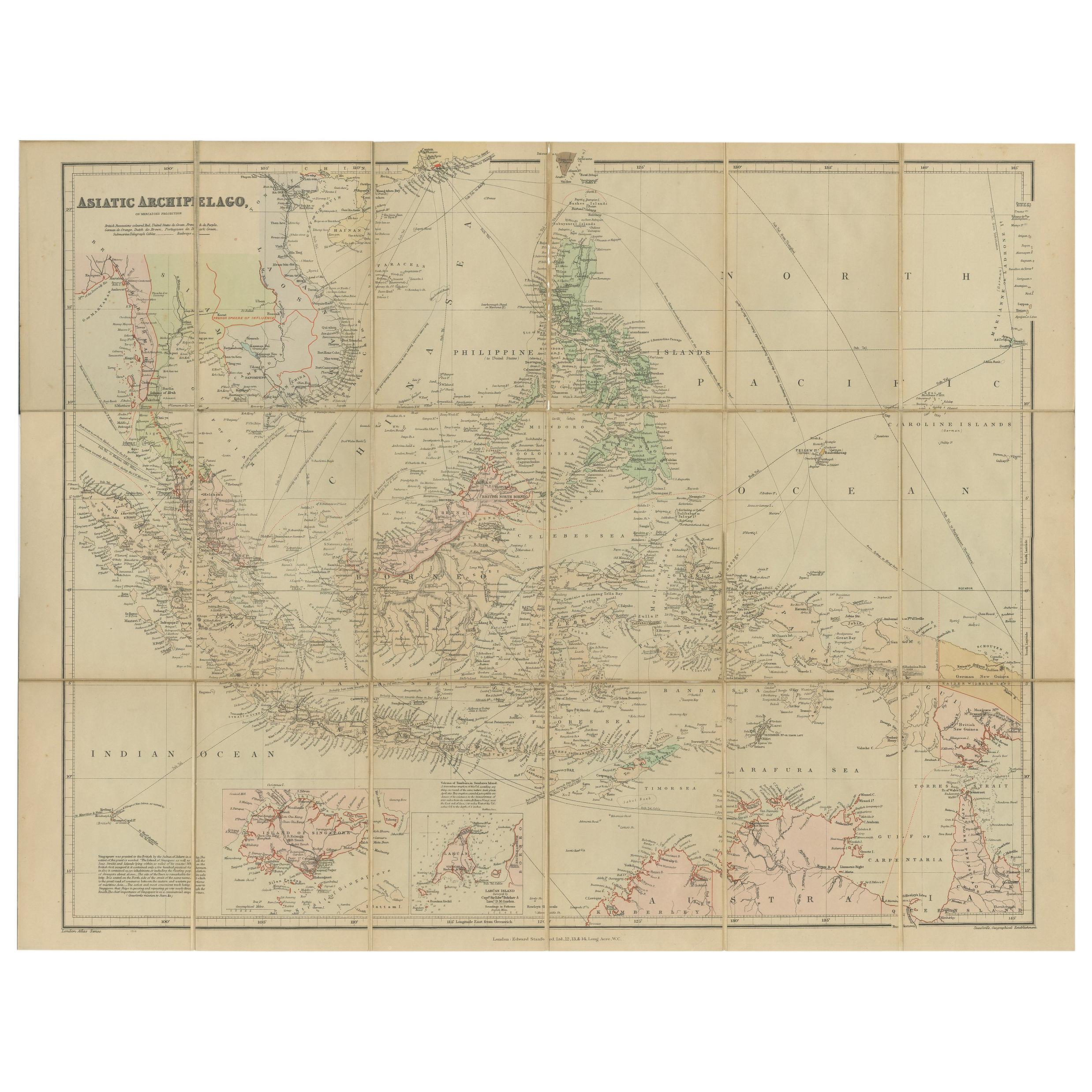
Antique Map of the Asiatic Archipelago by E. Stanford, circa 1910
€ 1 000
One of a kind: this is the sheet in the photographs. Ships from Langweer, the Netherlands.
- Date
- 1910
- Sheet size
- 52 × 57 cm (20.5 × 22.4 in)
- Condition
- Good
- Reference
- BG-12742-3
Condition
Fold. cold. map in 18 sections, on linen. 57 x 52 cm. In ocl. bind. (Spine a bit worn). Minor wear and small defects, please study images carefully.