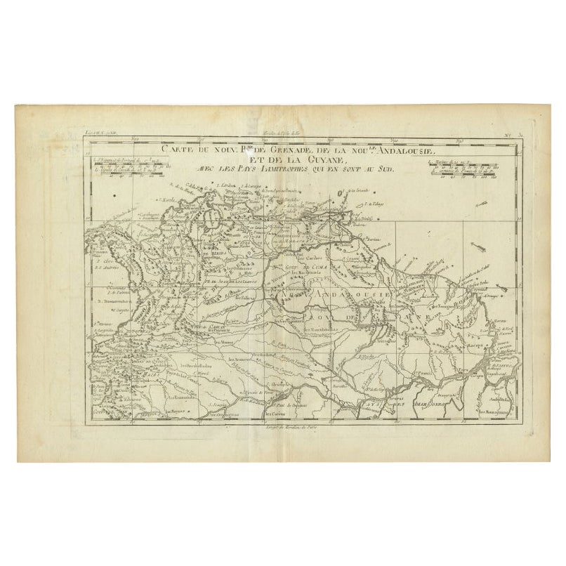
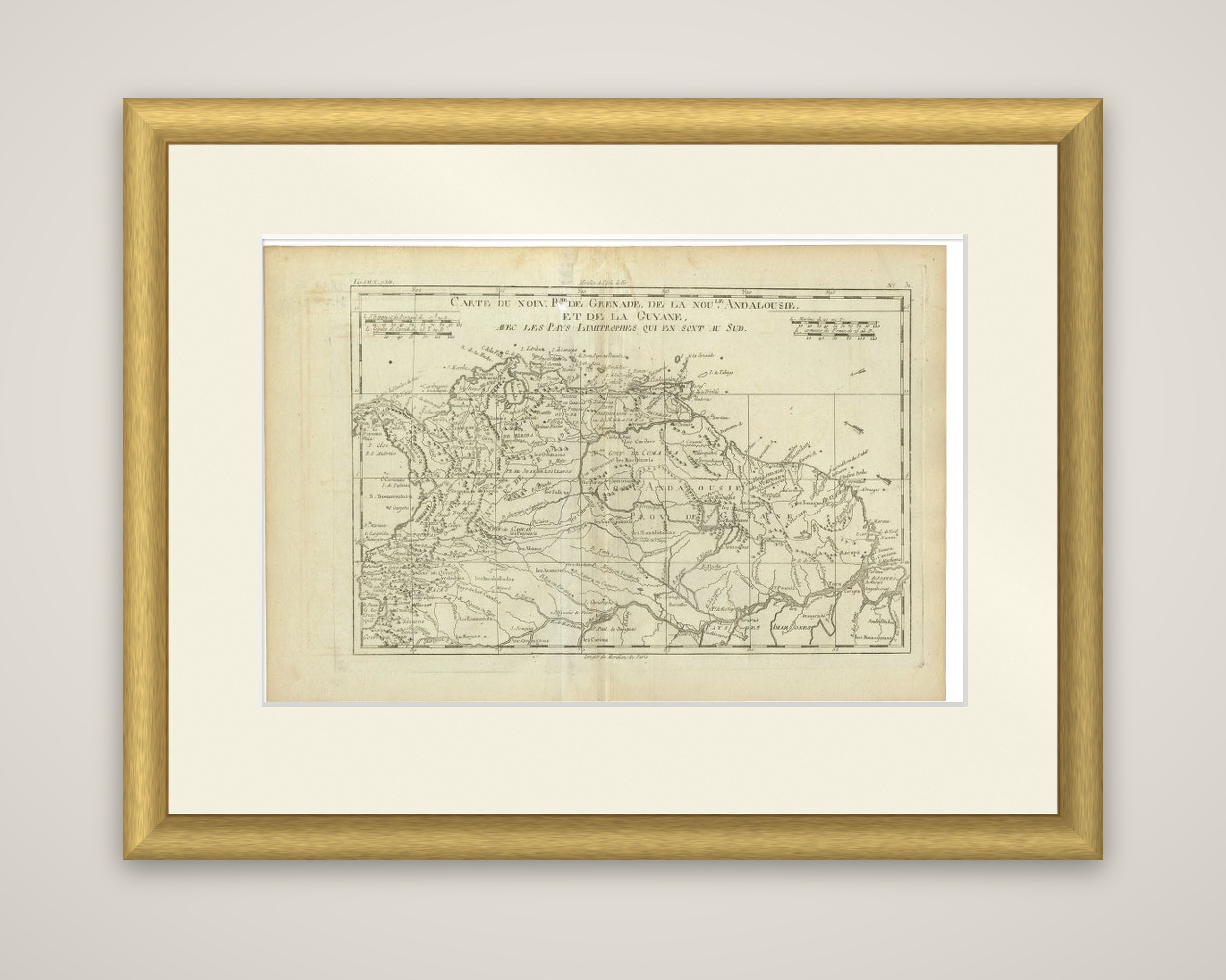
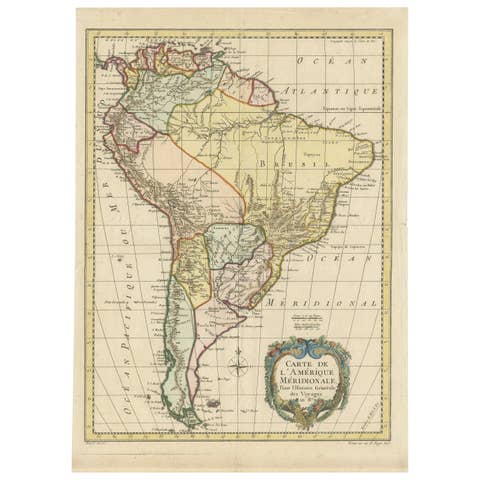
Old Map Guiana, Columbia Venezuela, Andalusia in South America by Bonne, c.1780
€ 230
Original antique · The actual sheet photographed · Certificate of authenticity on request · Sold unframed · Worldwide shipping from € 15 (rates)
Date
1780
Sheet size
26 × 38.5 cm (10.2 × 15.2 in)
Condition
Good
Reference
BGI-00711
What the condition grades mean
Excellent
Bright and clean, with no faults worth mentioning.
Very good
Only light signs of age, such as faint toning.
Good
Normal signs of age for a sheet of this period: toning, some foxing, small marks or neat old repairs.
Fair
Clear faults such as staining, tears or repairs, priced to match.
Every fault we see is written in the condition note, and the whole sheet is shown uncropped in the photos.
Condition
Small defect upper part of the map. General age-related toning. Please review the images for further condition details.
About this sheet
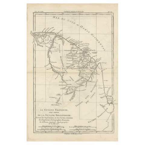
Northern South America in the late eighteenth century, titled "Carte du Nouv.Rme. de Grenade, de la Nouv.Andalousie, et de la Guyane, avec les Pays Limitrophes qui en sont au Sud", an original copper engraving drawn by Rigobert Bonne for the abbé Raynal's Atlas de toutes les parties connues du globe terrestre, published around 1780. The sheet is uncolored and carries a plate number at the upper right.
The map covers the New Kingdom of Granada, the coast of Venezuela and the province of New Andalusia, with the Guianas at the right and the Orinoco and Amazon basins reaching south across the lower half. Rivers are shown in fine double lines, and mountain ranges are drawn in hachures. The coast is dense with place names, including the Gulf of Cumaná, and the interior is lettered with the names of provinces and mission settlements. The border is a double ruled frame with scales at the upper left and right.
The sheet is part of the atlas that Bonne prepared for Raynal's history of the European settlements and trade in the East and West Indies.