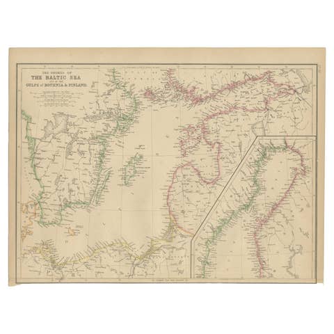
Sweden & Norway – Antique Map of Scandinavia with Stockholm Inset, 1865
€ 275
Original antique · The actual sheet photographed · Certificate of authenticity on request · Sold unframed · Worldwide shipping from € 15 (rates)
Date
1865
Technique
Engraved
Sheet size
62 × 48.5 cm (24.4 × 19.1 in)
Condition
Good
Reference
BG-05553/24
What the condition grades mean
Excellent
Bright and clean, with no faults worth mentioning.
Very good
Only light signs of age, such as faint toning.
Good
Normal signs of age for a sheet of this period: toning, some foxing, small marks or neat old repairs.
Fair
Clear faults such as staining, tears or repairs, priced to match.
Every fault we see is written in the condition note, and the whole sheet is shown uncropped in the photos.
Condition
Excellent condition. Lightly age-toned paper with original hand-color outlining. Central fold as issued and some foxing on the right side of the paper. A few faint creases and minor edge wear, but no tears or repairs. Strong impression with details.
About this sheet
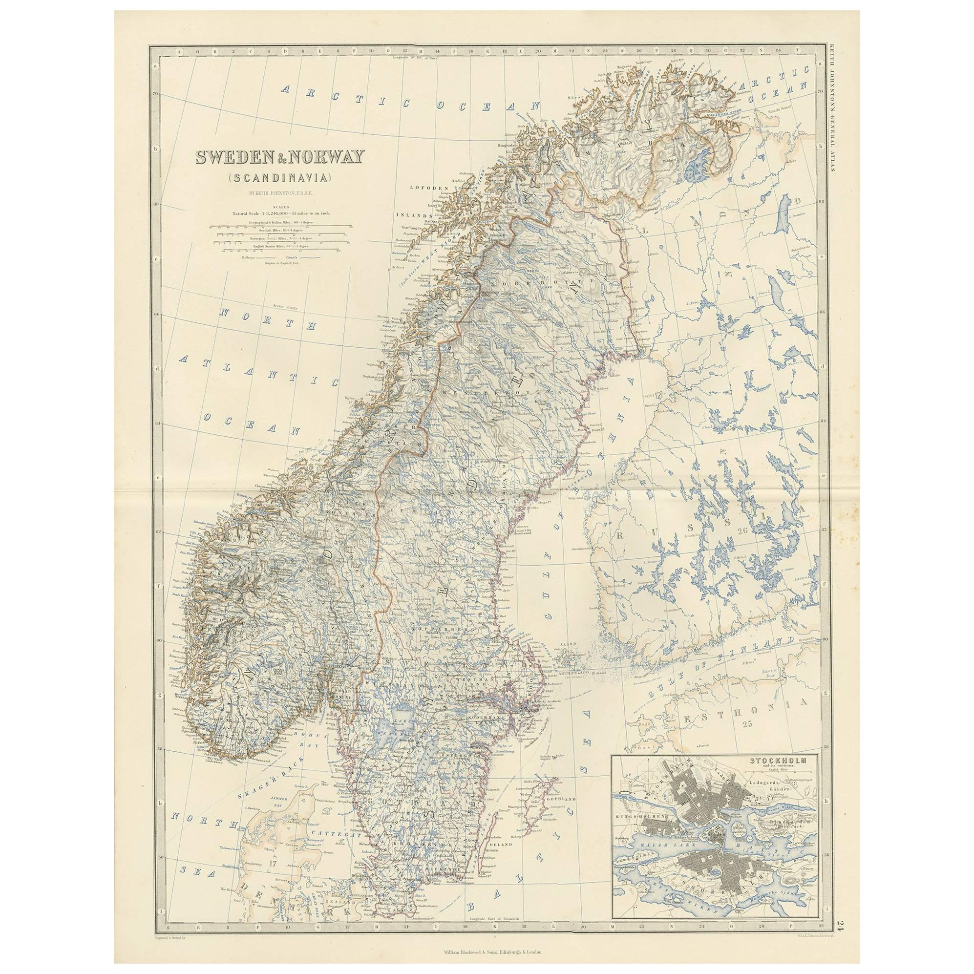
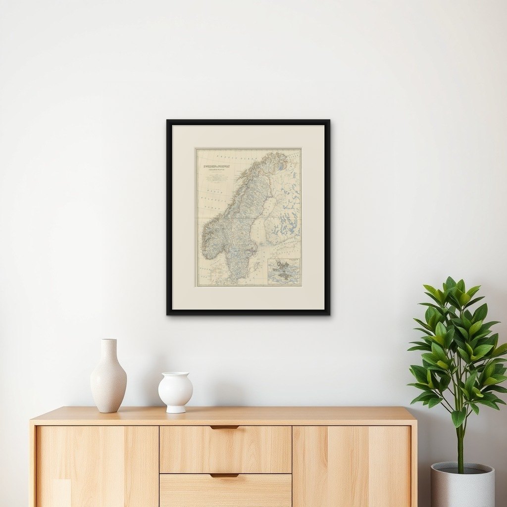
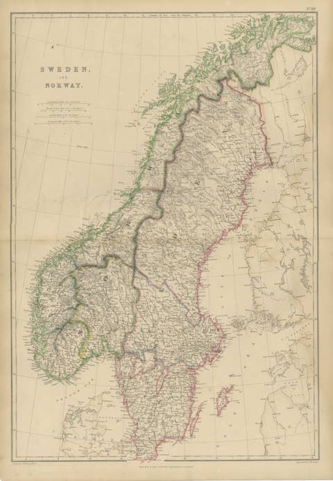
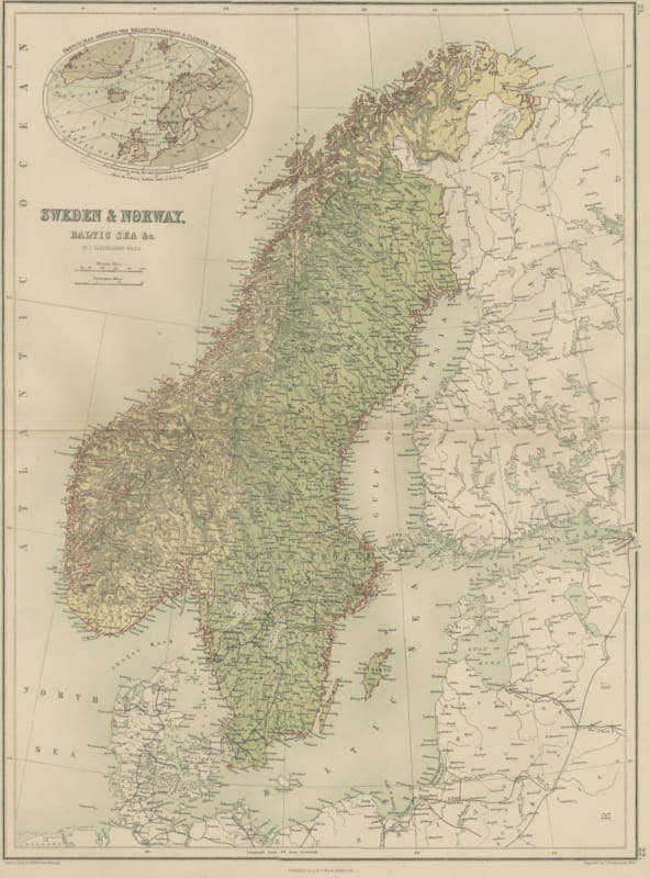
Sweden & Norway – Antique Map of Scandinavia with Stockholm Inset, 1865
This finely detailed antique map titled Sweden & Norway (Scandinavia) offers a comprehensive 19th-century view of the Nordic Peninsula, featuring the nations of Sweden and Norway in their full geographical extent. Published in 1865 as part of the esteemed Royal Atlas of Modern Geography by Alexander Keith Johnston, the map reflects the advanced cartographic knowledge and printing techniques of the Victorian era.
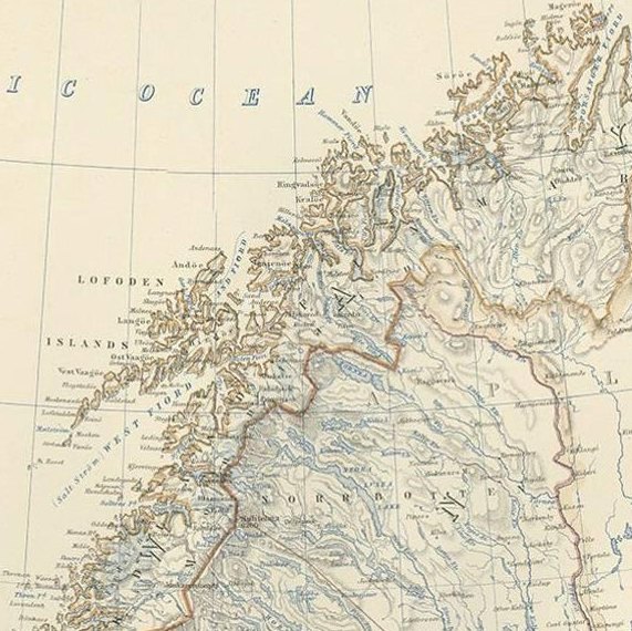
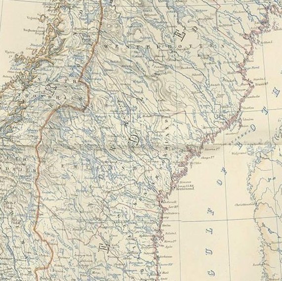
The map is notable for its clarity and precision, showing mountain ranges, rivers, cities, railway lines, and administrative divisions across the Scandinavian landscape. An inset map of Stockholm and its surroundings adds valuable geographic and historical context, highlighting the capital region of Sweden in more granular detail.
Johnston, a respected Scottish geographer and cartographer, created the Royal Atlas to serve as a scientific and educational reference for both scholars and laypeople. His maps were recognized for their accuracy and elegance and were used by universities and institutions across the British Empire. The publication by William Blackwood and Sons of Edinburgh and London ensured wide distribution and high production quality.
This map stands out for its delicate coloration, precise typography, and beautifully engraved topographical features, typical of Johnston’s work. It offers not only historical insights into Scandinavian boundaries and infrastructure but also a visual representation of the growing importance of geography in Victorian education and statecraft.
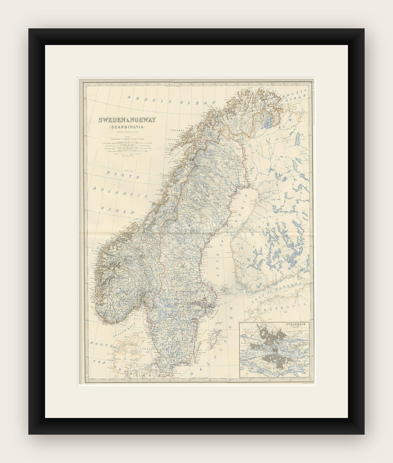
Condition report: Excellent condition. Lightly age-toned paper with original hand-color outlining. Central fold as issued and some foxing on the right side in the margin. A few faint creases and minor edge wear, but no tears or repairs. Strong impression with fine detail.
Framing tips: A large, neutral-toned mount and slim black or dark wood frame will bring out the map’s pale blue and red details. A double mat with an inner gray or steel-blue accent could echo the icy Scandinavian landscape.