
Maps & PrintsBartele Gallery · Langweer
Home / Antique Maps / Europe / Northern Europe

Northern Europe

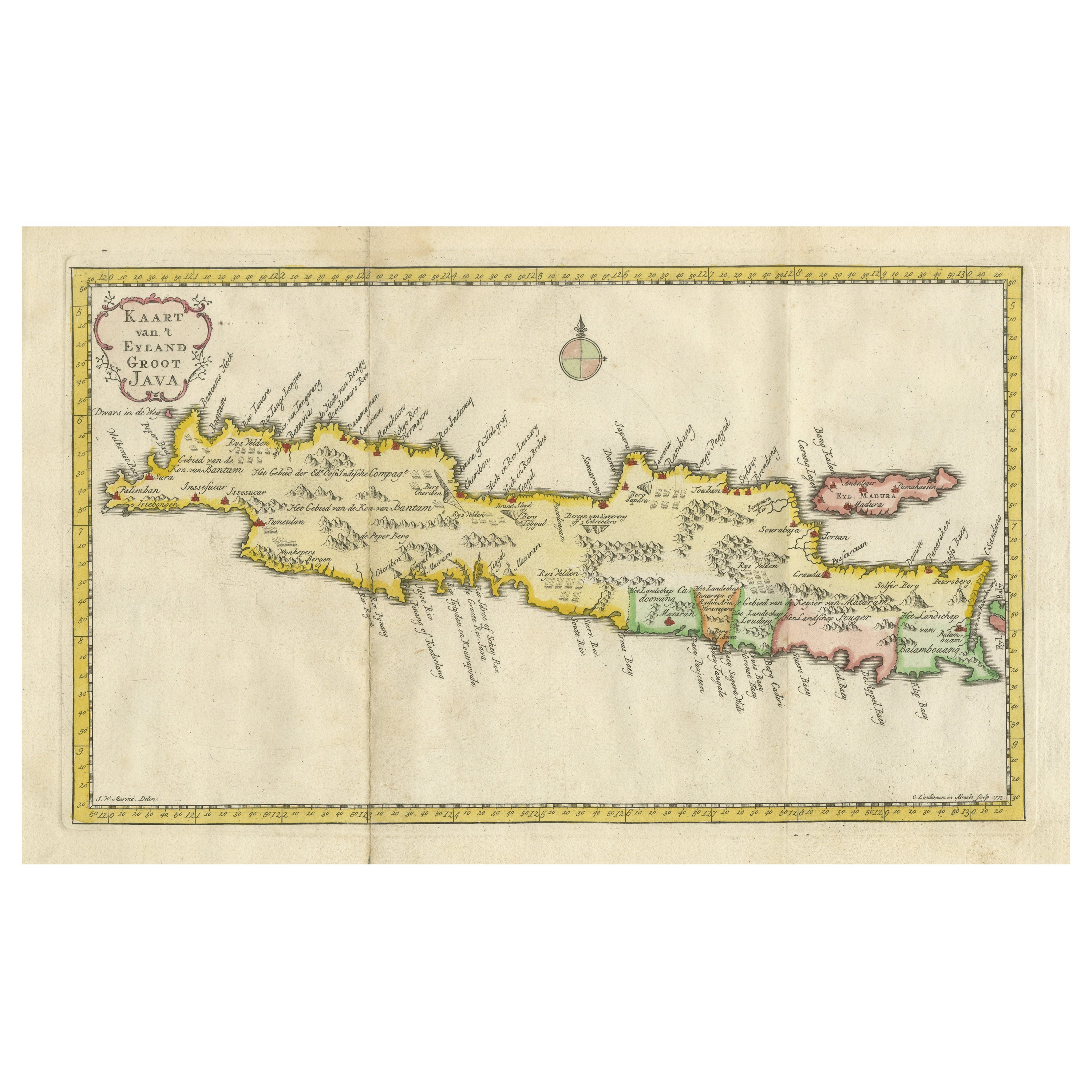
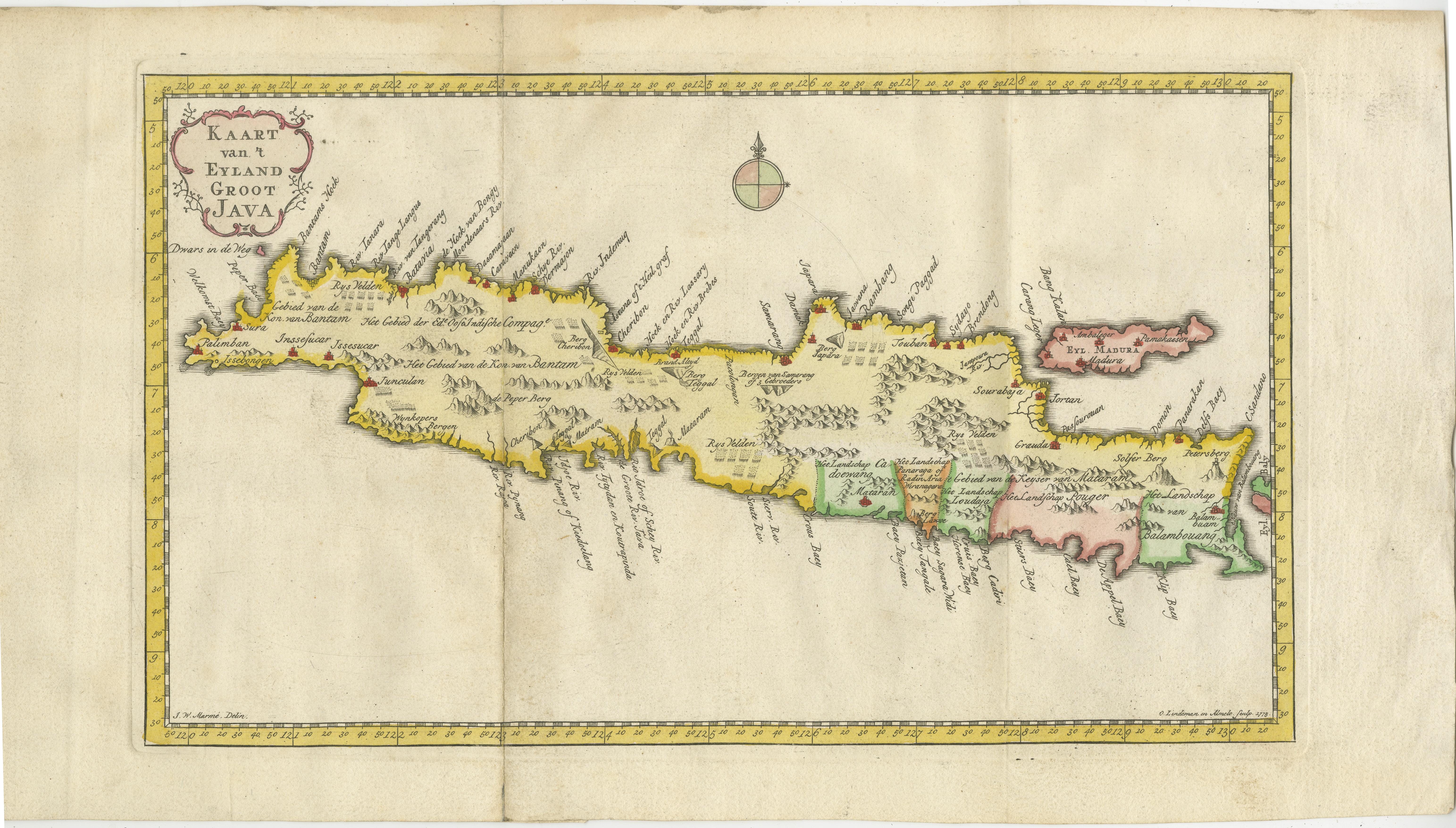
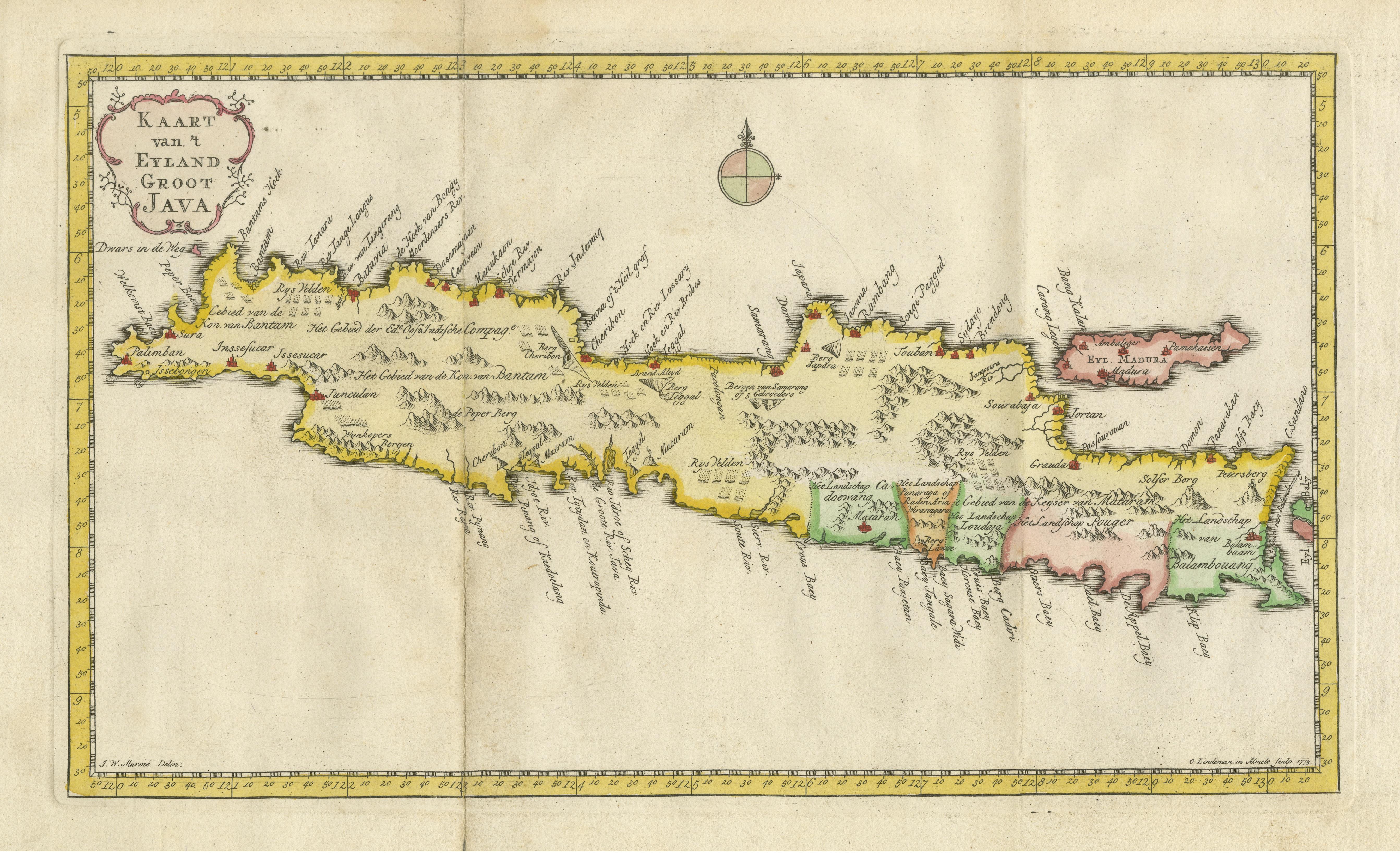
Scarce Antique Map of the Island of Java, Indonesia

€ 650

One of a kind: this is the sheet in the photographs. Ships from Langweer, the Netherlands.

Sheet size
24.2 × 44.8 cm (9.5 × 17.6 in)
Condition
Good
Reference
BG-13388-1

Condition

General age-related toning. Original folding lines. Later hand coloring, blank verso. Minor wear and soiling. Please study image carefully.
About this sheet

This antique map, titled "Kaart van 't Eyland Groot Java," offers a rare and valuable depiction of the island of Java in Indonesia. It is a historical treasure that provides insights into the geography, topography, and features of Java during the 18th century. The map is derived from "Reistogt naar en door Oostindiën," a work by W. Schouten, published in 1780. It serves as a significant historical document, showcasing the cartographic knowledge of Java at that time and contributing to our understanding of the island's past.

More from Northern Europe

Ask about this sheet

Scarce Antique Map of the Island of Java, Indonesia
Ref. BG-13388-1 · € 650
We reply by email, usually within one working day.