Maps & PrintsBartele Gallery · Langweer
Home / Antique Maps / Europe / Northern Europe

Northern Europe

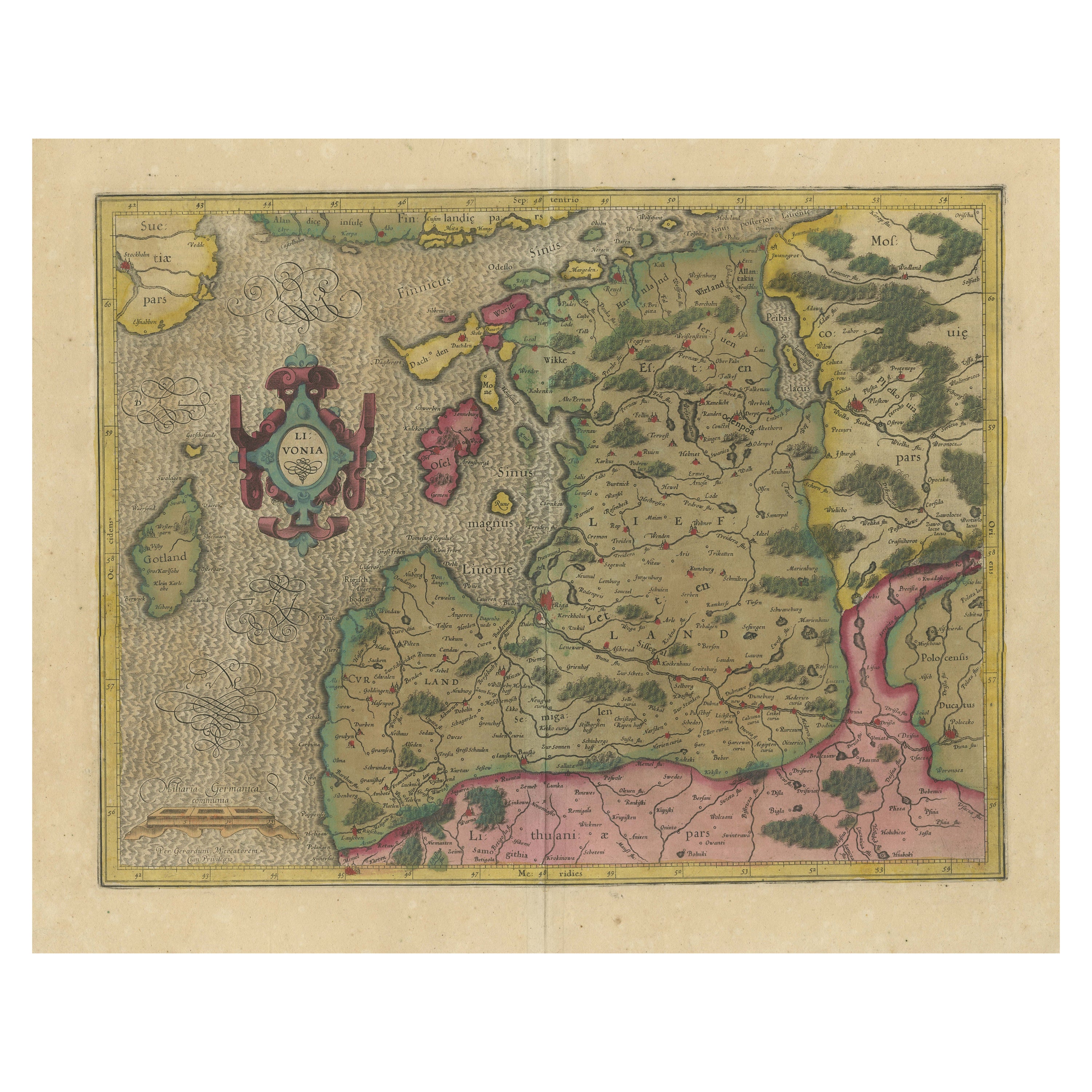

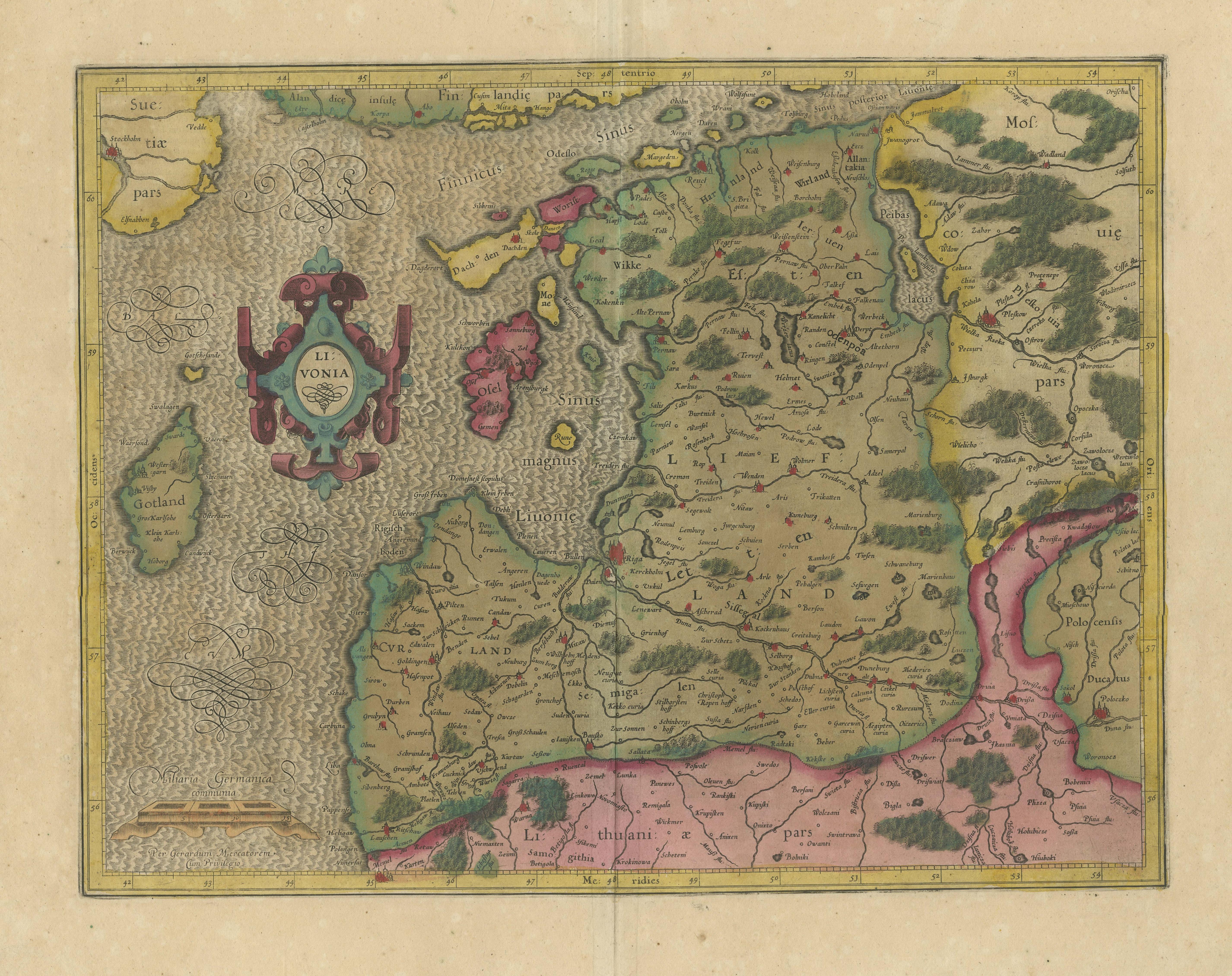
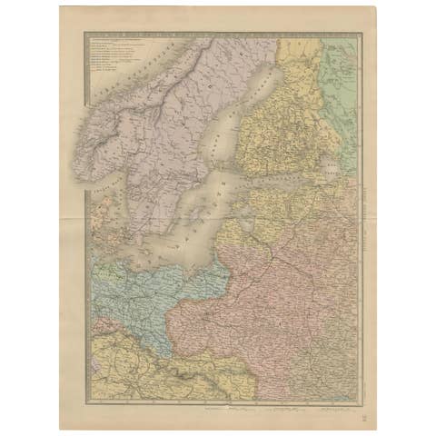
Original Antique Map of the Northern Baltic Region

€ 990

One of a kind: this is the sheet in the photographs. Ships from Langweer, the Netherlands.

Sheet size
48.2 × 58.8 cm (19.0 × 23.1 in)
Condition
Fair
Reference
BG-13324-10

Condition

Original/contemporary hand coloring. Original folding line, with a few small splits. Age-related toning, shows wear and soiling. Tape residu in both margins. French text on verso. Please study image carefully.
About this sheet

This antique map, titled "Livonia," is a detailed representation of the northern Baltic region. Centered on Riga, it encompasses a vast area extending from the southern regions, including Memel and parts of Poland and Russia, to the northern Strait between Finland and Latvia. Notably, Stockholm and Gotland are also featured on the map. Published by the renowned cartographer Gerardus Mercator circa 1620, this map offers valuable insights into the geographical knowledge of the time and is a historical document of the northern Baltic area during the 17th century.

More from Northern Europe

Ask about this sheet

Original Antique Map of the Northern Baltic Region
Ref. BG-13324-10 · € 990
We reply by email, usually within one working day.