Maps & PrintsBartele Gallery · Langweer
Home / Antique Maps / Europe / Northern Europe

Northern Europe

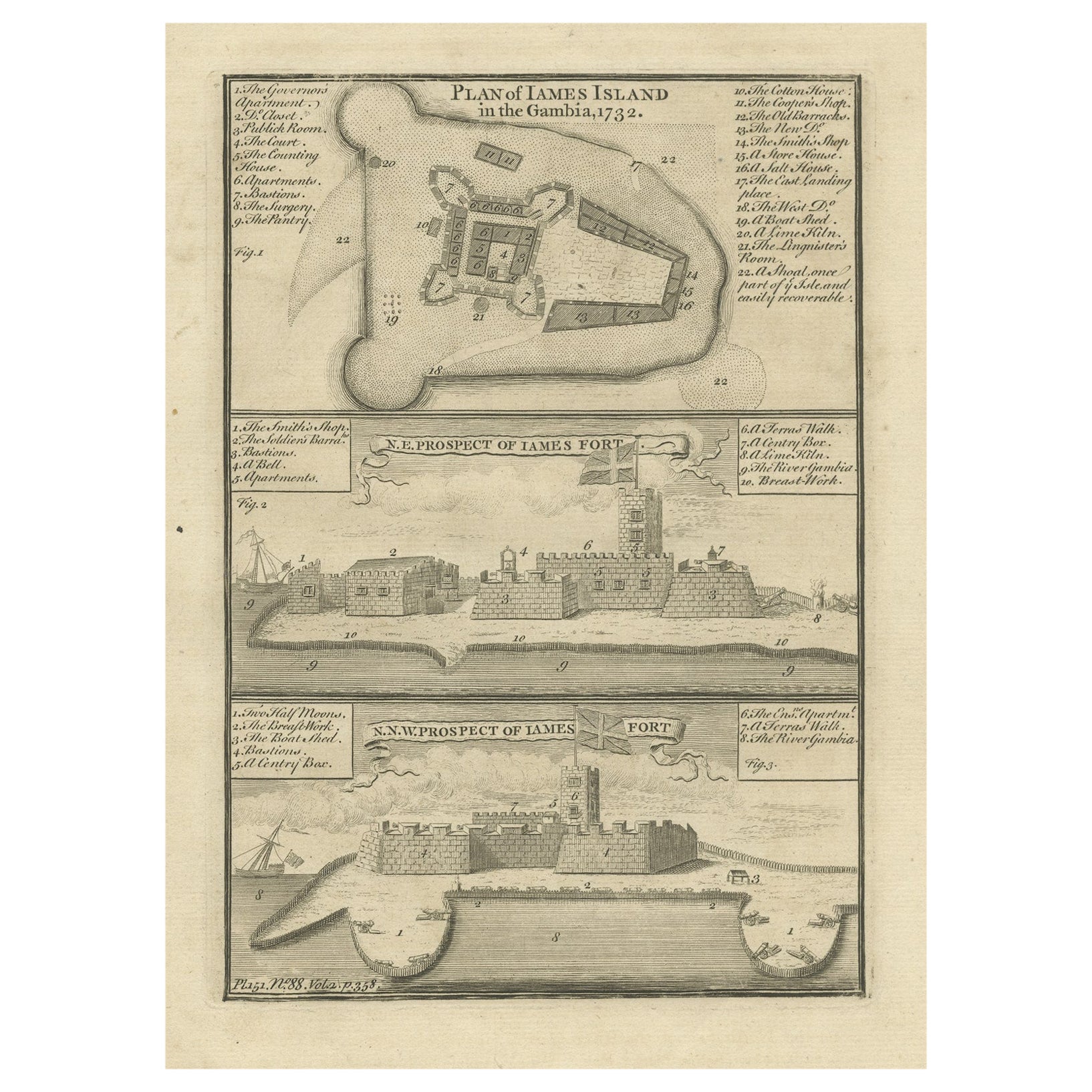
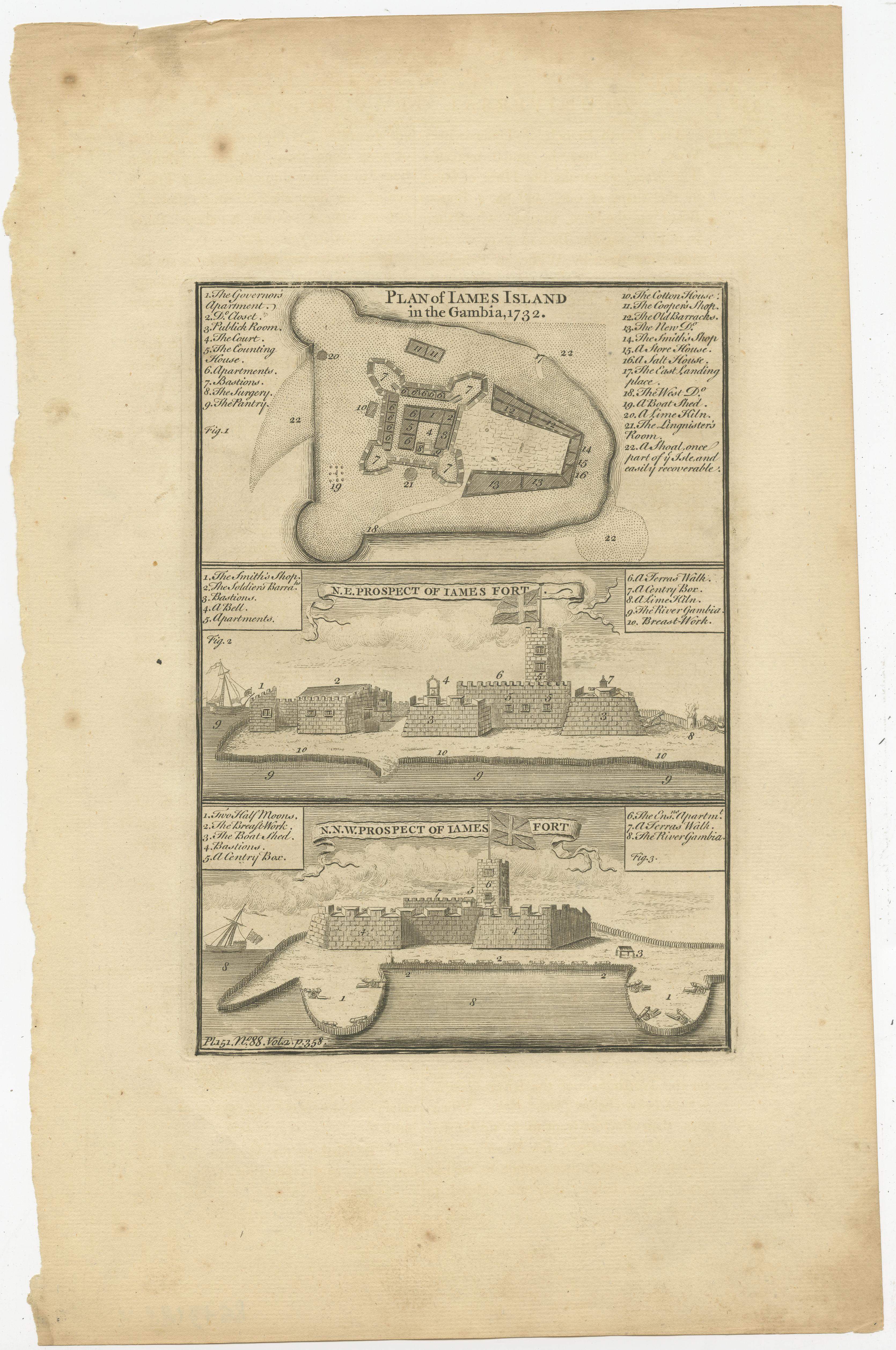
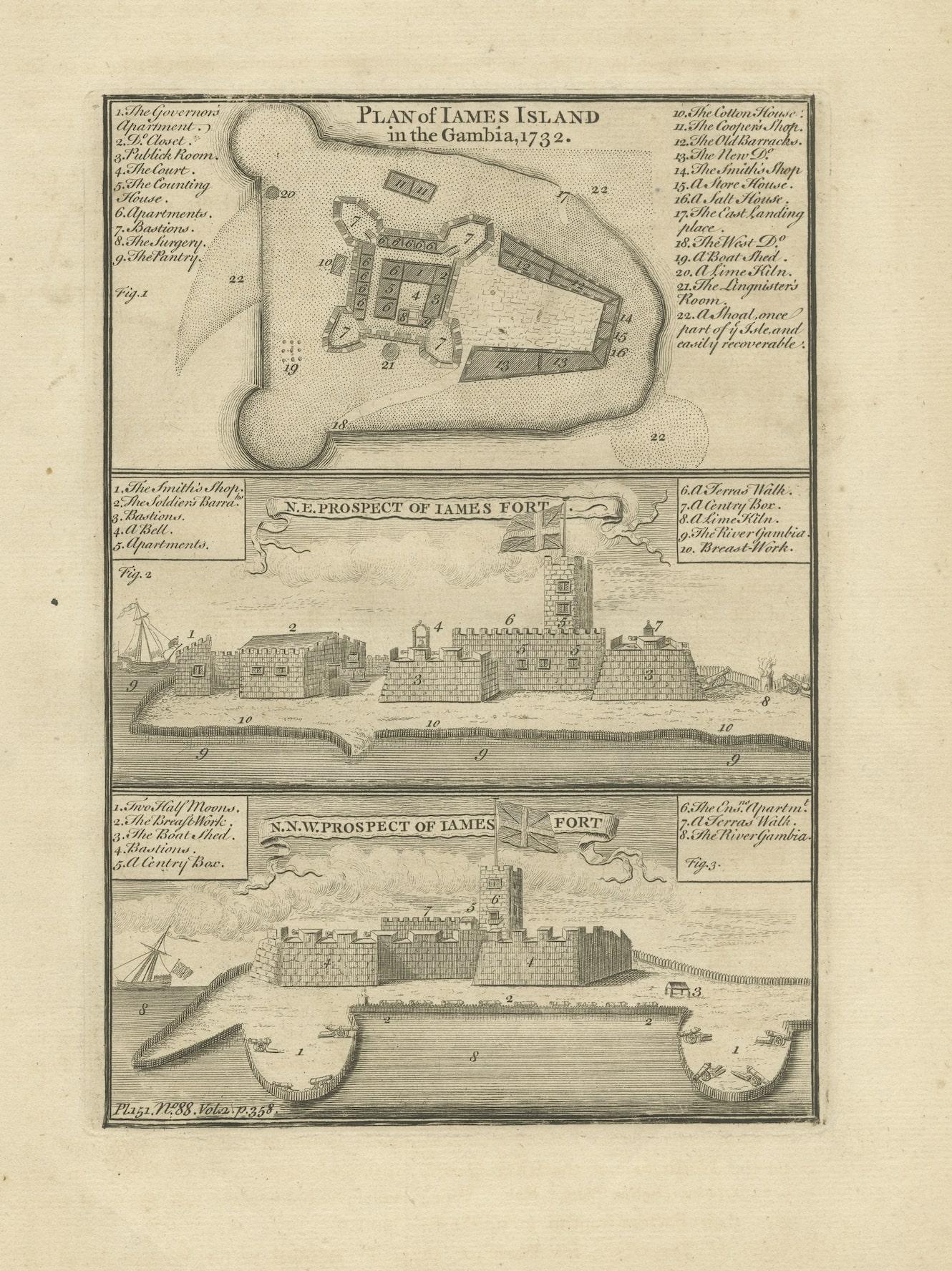
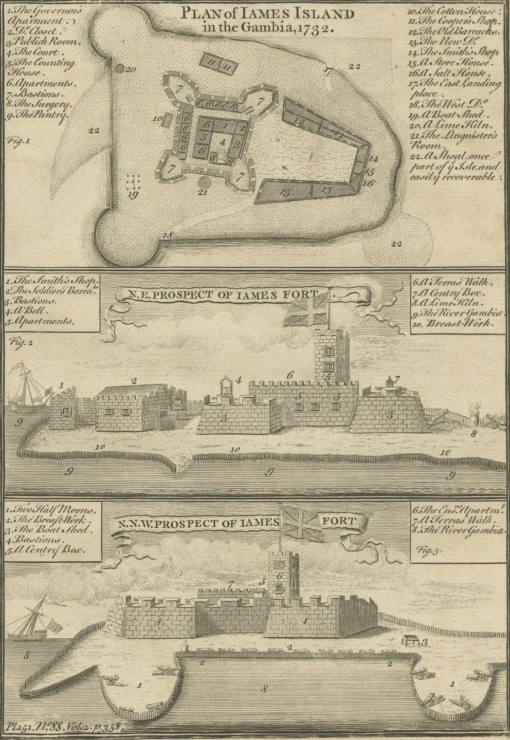
Antique Print with a Plan of Kunta Kinteh Island and views of Fort James, Gambia

€ 220

One of a kind: this is the sheet in the photographs. Ships from Langweer, the Netherlands.

Sheet size
35.8 × 22.9 cm (14.1 × 9.0 in)
Condition
Fair
Reference
BG-13188-4

Condition

Wear consistent with age and use. General age-relatedtoning. Shows some wear and foxing, blank verso. Please study image carefully.
About this sheet

Antique print titled 'Plan of Iames Island in the Gambia - N.E. Prospect of Iames Fort - N.N.W. Prospect of Iames Fort'. Print with a plan of Kunta Kinteh Island on the Gambia River in 1732 - View of Fort James from the north east - View of Fort James from the NNW. Kunta Kinteh Island, formerly called James Island and St Andrew's Island, is an island in the Gambia River. As an important historical site in the West African slave trade, it is listed as a UNESCO World Heritage Site.

Source unknown, to be determined. Published circa 1760.

More from Northern Europe

Ask about this sheet

Antique Print with a Plan of Kunta Kinteh Island and views of Fort James, Gambia
Ref. BG-13188-4 · € 220
We reply by email, usually within one working day.