South Sweden Map with Inset of Halmstad – Antique Map by Frederik de Wit, c.1680
€ 779
One of a kind: this is the sheet in the photographs. Ships from Langweer, the Netherlands.
Date
1680
Sheet size
53 × 62 cm (20.9 × 24.4 in)
Condition
Good
Reference
BG-06792
Condition
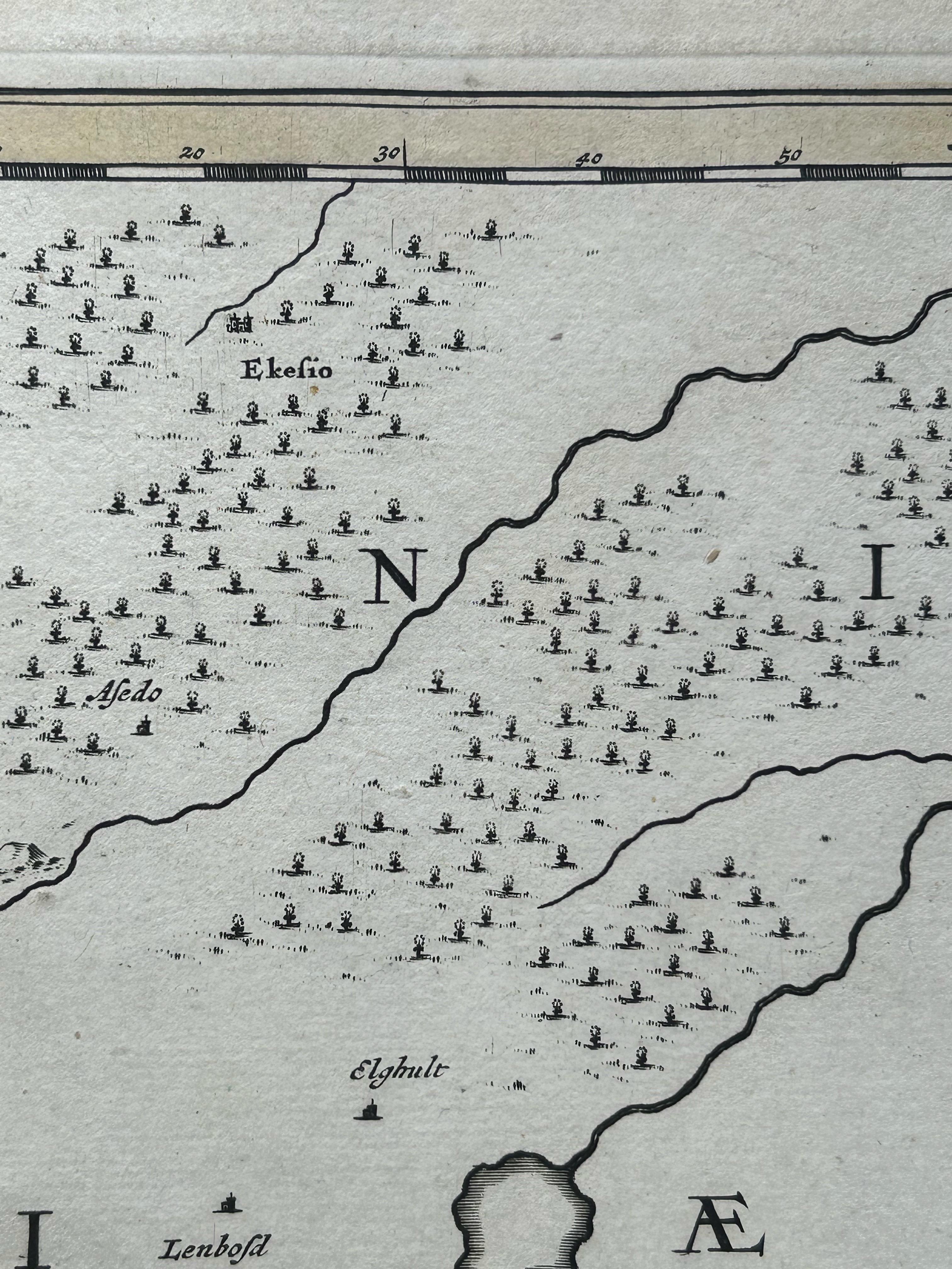
Repaired: Two small repairs on the back with tape. Good condition with attractive contemporary hand coloring. General age toning with some faint creases near the centerfold. Blank verso, with two small repairs. Please review the image carefully for details.
About this sheet
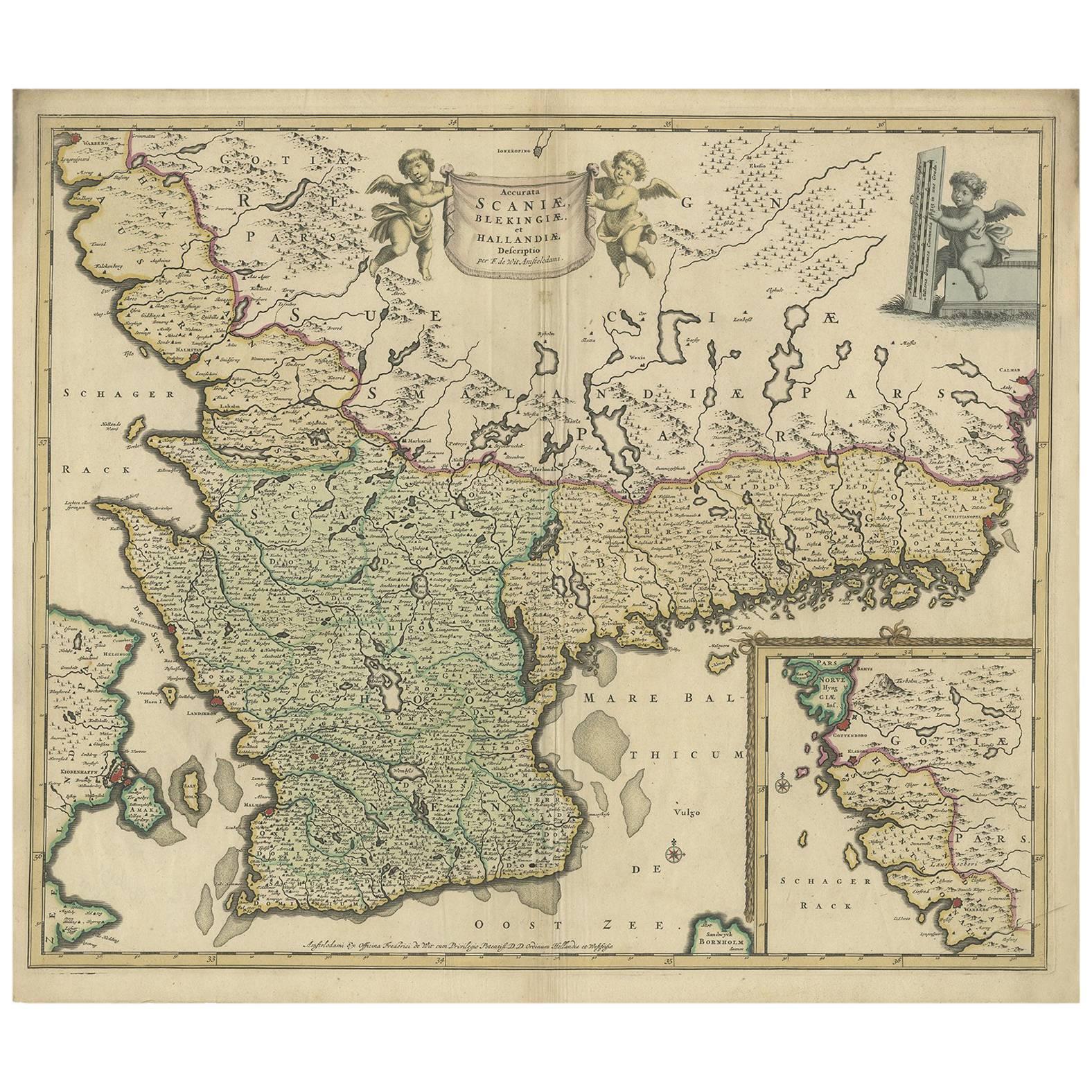
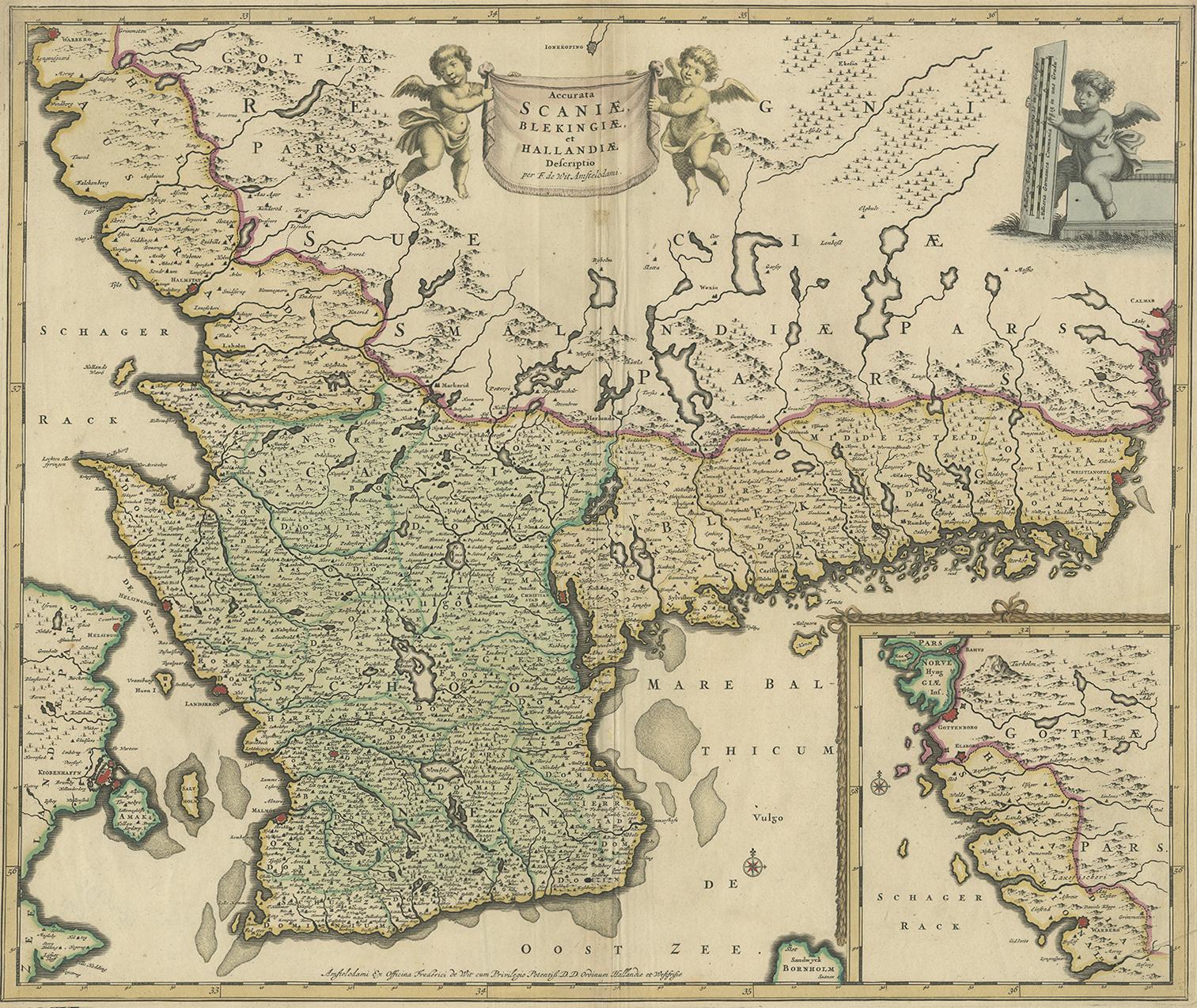
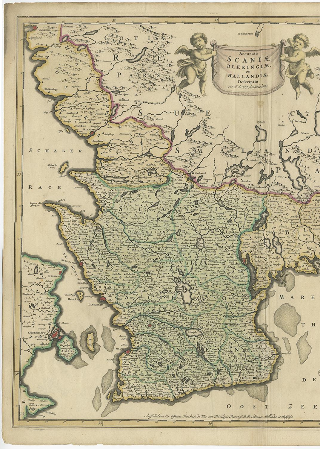
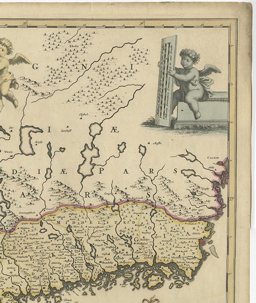
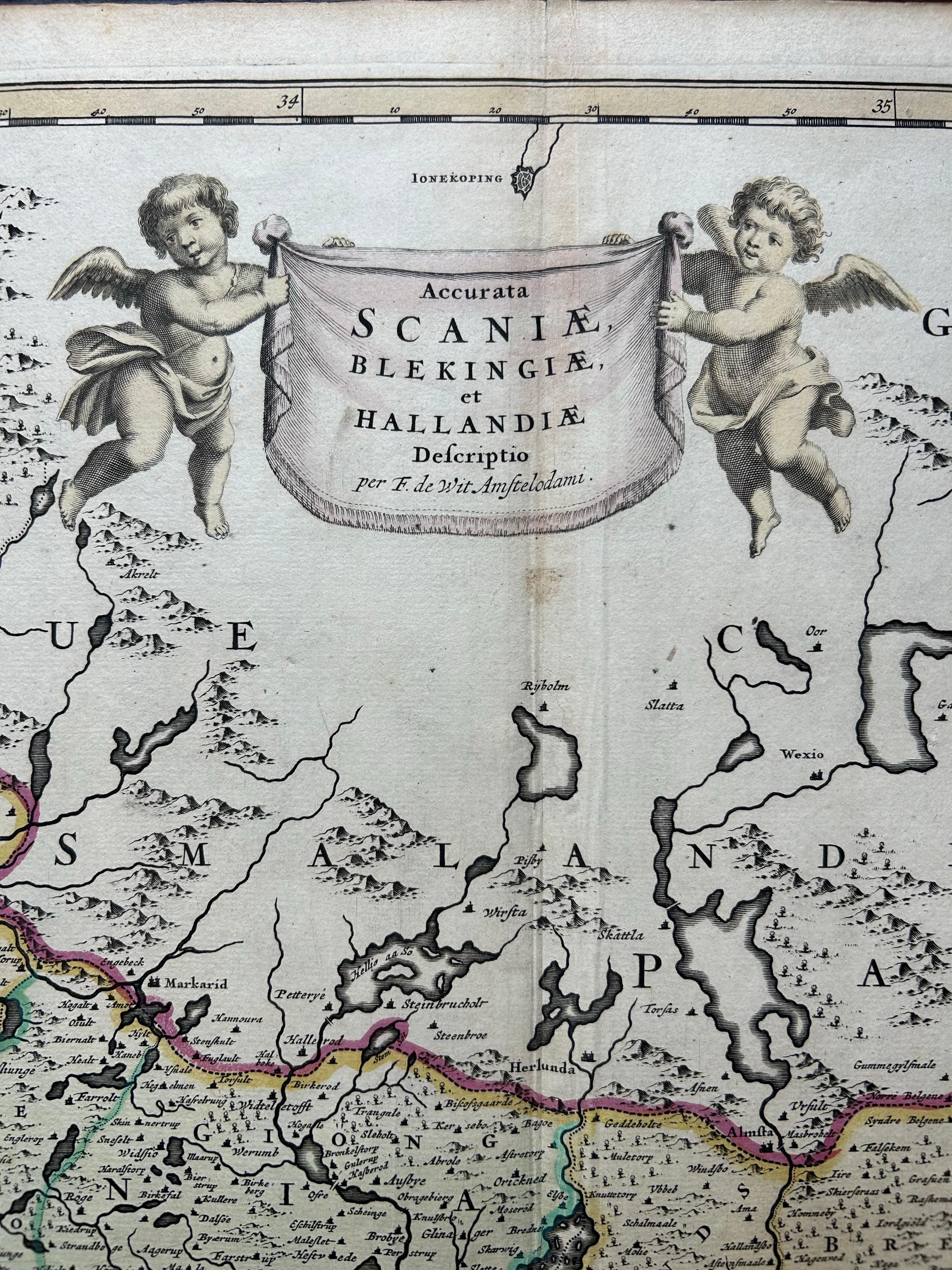
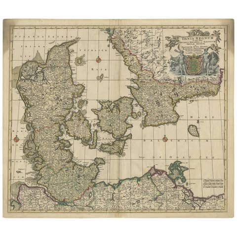
South Sweden Map with Inset of Halmstad – Antique Map by Frederik de Wit, c.1680
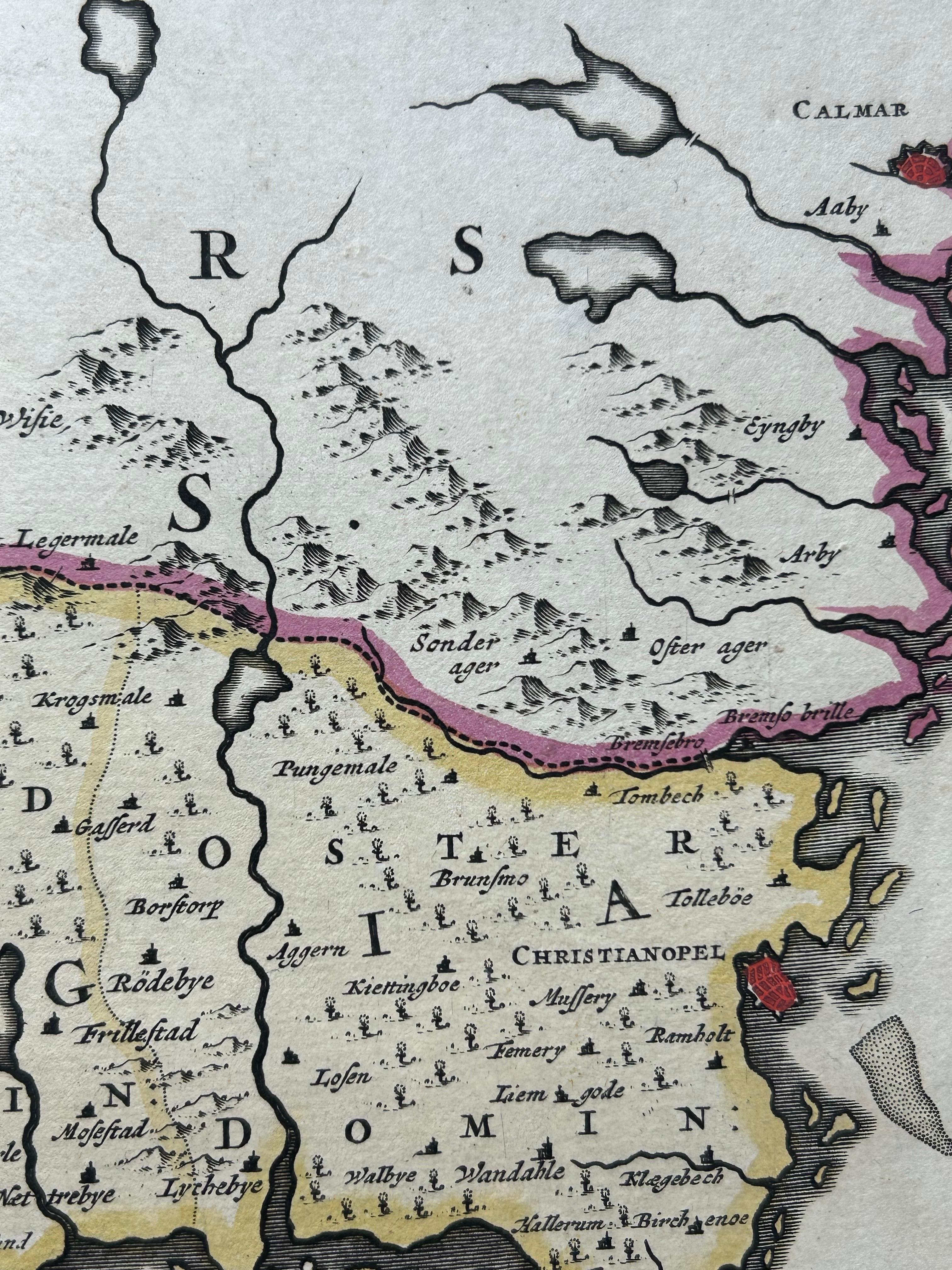
This richly detailed antique map titled Accurata Scaniae, Blekingae et Hallandiae Descriptio presents the southern provinces of Sweden: Scania (Skåne), Blekinge, and Halland. Published in Amsterdam by the renowned Dutch cartographer Frederik de Wit around 1680, the map exemplifies the elegance and precision of Golden Age Dutch cartography.
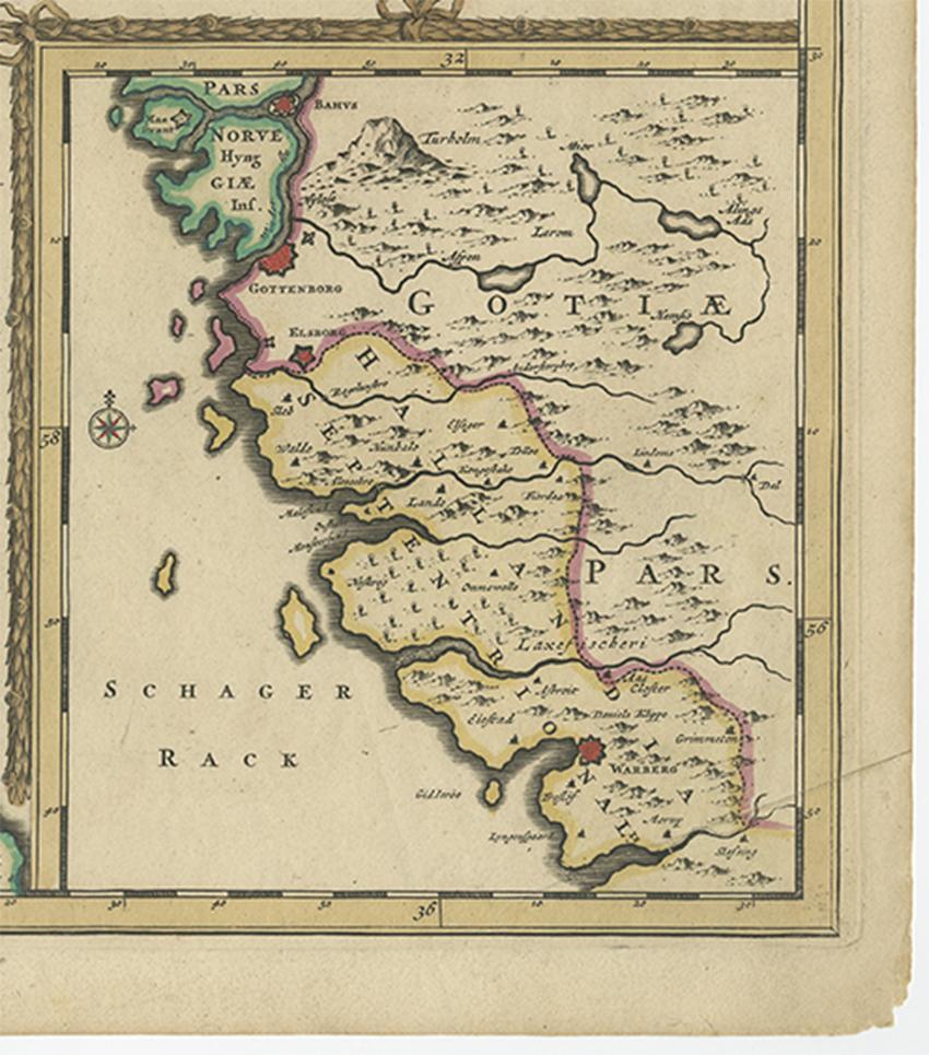
De Wit’s depiction includes a carefully engraved overview of the southern Swedish landscape, bounded by the Kattegat and Baltic Sea, and interspersed with forests, rivers, and settlements. Prominent cities such as Malmö, Lund, Kristianstad, and Karlskrona are noted, along with smaller towns and ecclesiastical divisions. The inclusion of the inset map of Halmstad and its surrounding coast enhances the geographic utility and regional focus of the map.
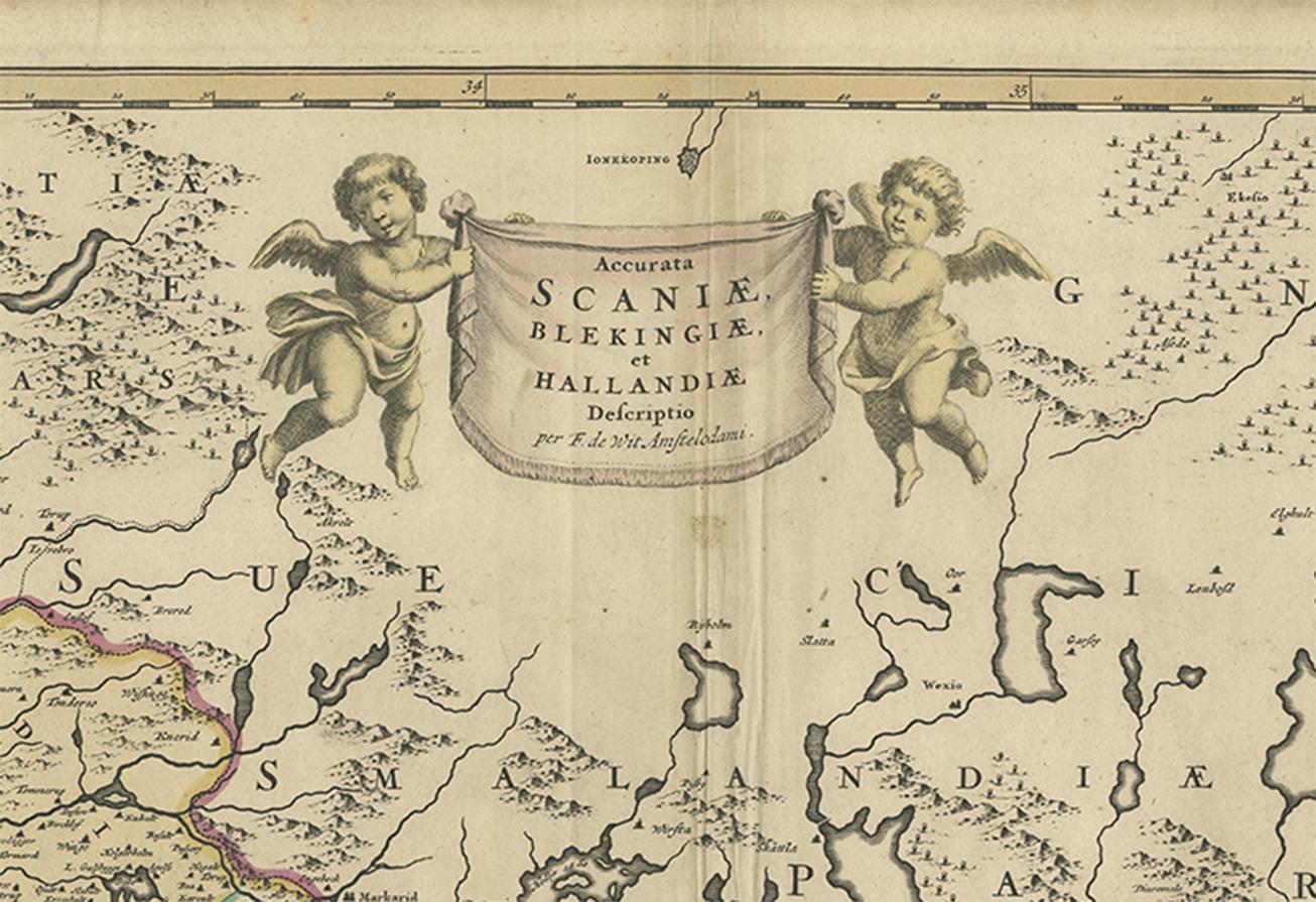
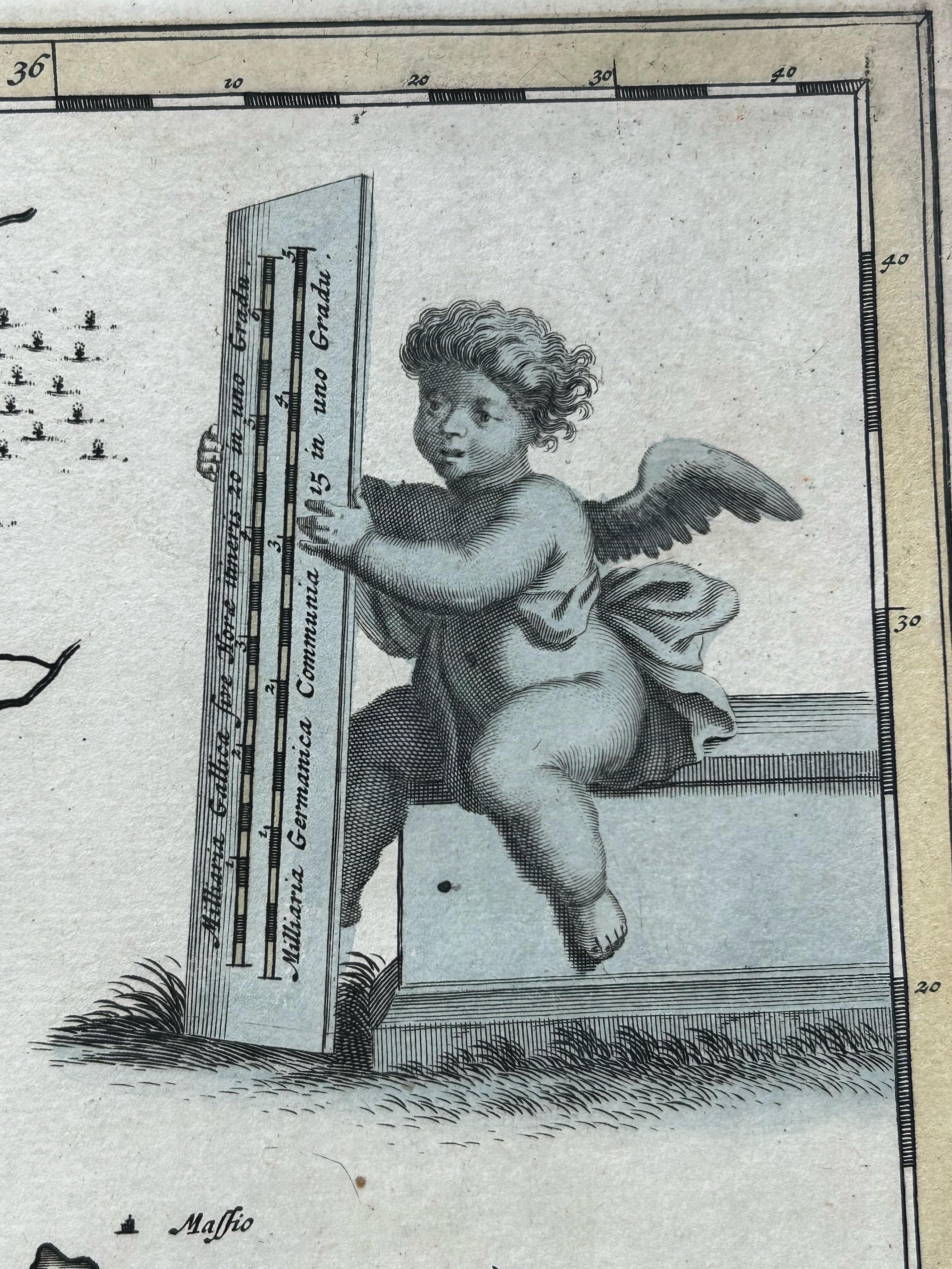
The decorative cartouche, held aloft by two cherubs, frames the title at the top center of the map, while another vignette in the upper right corner playfully depicts two cherubs operating a press. These elements add to the artistic appeal and historical charm of the piece.
Frederik de Wit (1630–1706) was one of Amsterdam’s most successful mapmakers of the late 17th century, known for his atlases, wall maps, and sea charts. His work combined geographical accuracy with artistic beauty, and his maps were widely distributed across Europe. This map is a fine example of his craftsmanship and the enduring importance of this border region between Denmark and Sweden.
Condition report: Good condition with attractive contemporary hand coloring. General age toning with some faint creases near the centerfold. Blank verso, with two small repairs. Please review the image carefully for details.
Framing tips: A natural wood or gold-leaf frame with a light beige or pale green mat would highlight the original hand coloring. Opt for UV-resistant glass to protect the pigments over time.