Maps & PrintsBartele Gallery · Langweer
Home / Antique Maps / Europe / Western Europe / United Kingdom & Ireland

United Kingdom & Ireland · 18th century

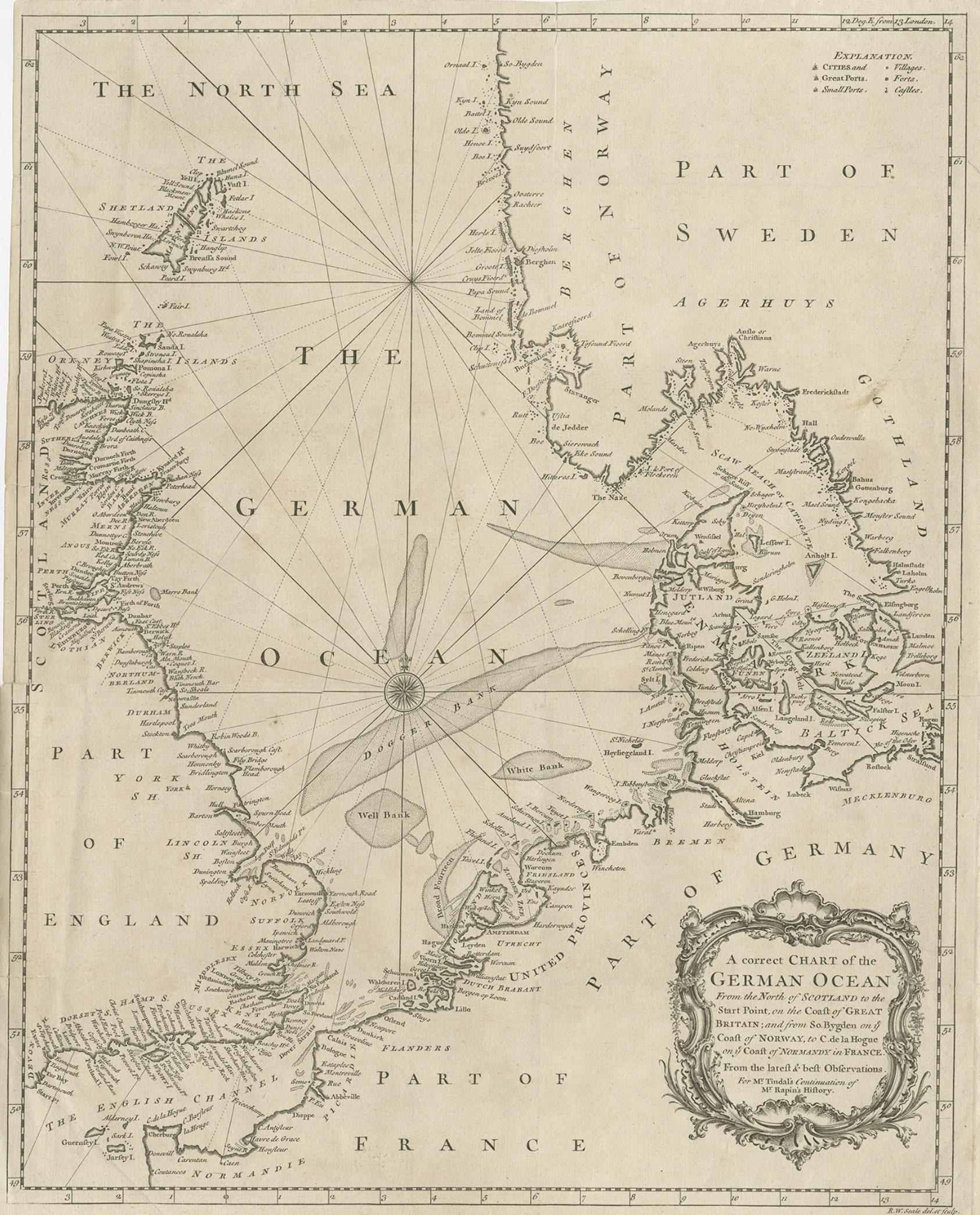
Antique Map of the North Sea From the English Channel to Norway & Sweden, 1746

€ 490

Original antique · The actual sheet photographed · Certificate of authenticity on request · Sold unframed · Worldwide shipping from € 15 (rates)

Date
1746
Sheet size
51 × 40 cm (20.1 × 15.7 in)
Condition
Good
Reference
BG-07968

Condition

Some tears, mainly along folding lines. Please review the images for further condition details.
About this sheet

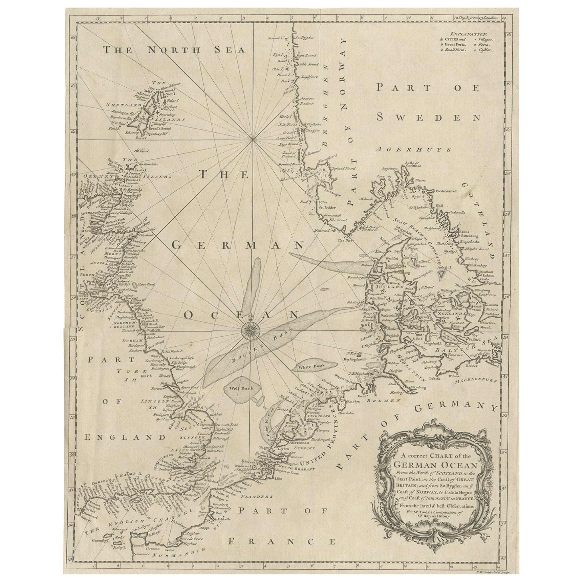
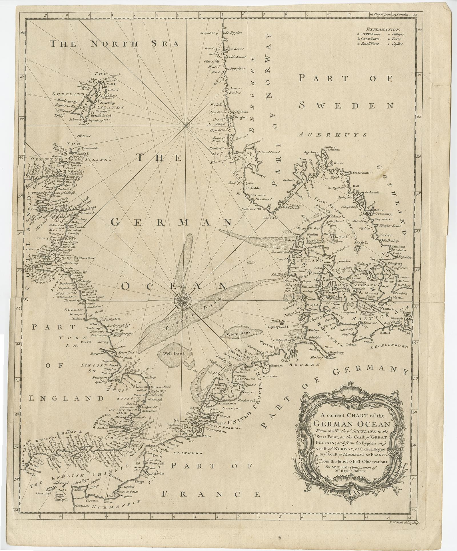
Antique map titled 'A correct Chart of the German Ocean from the North of Scotland to the Start Point, on the Coast of Great Britain; and from So. Bygden on ye coast of Norway, to C. de la Hogue on ye Coast of Normandy in France'.

This map depicts the region from the English Channel to Norway and Sweden.

Artists and Engravers: Engraved by R.W. Seale.

More from United Kingdom & Ireland

Ask about this sheet

Antique Map of the North Sea From the English Channel to Norway & Sweden, 1746
1746 · Ref. BG-07968 · € 490
We reply by email, usually within one working day.