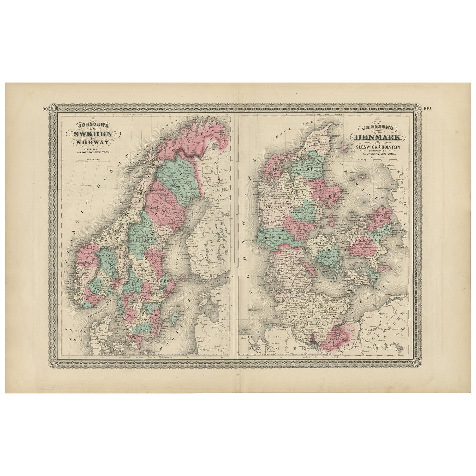
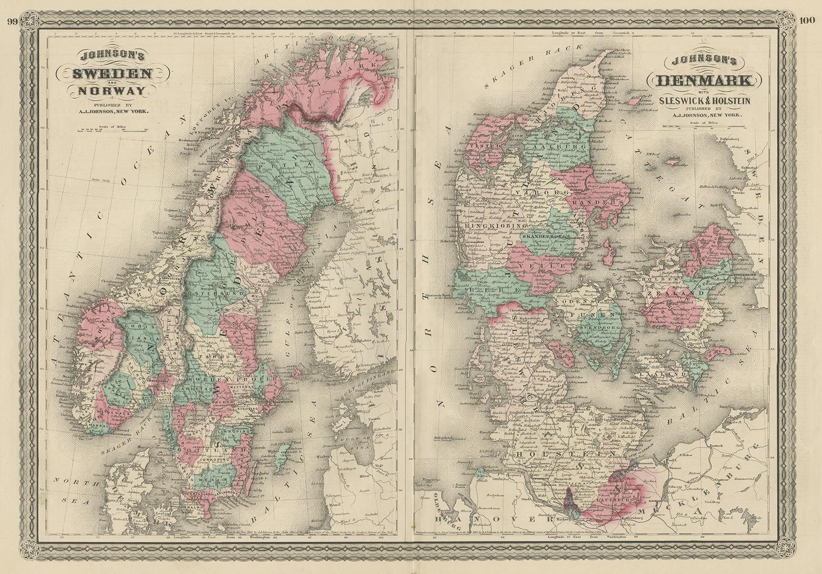
Antique Map of Sweden, Norway and Denmark by Johnson, 1872
€ 250
One of a kind: this is the sheet in the photographs. Ships from Langweer, the Netherlands.
Date
1872
Sheet size
46 × 67 cm (18.1 × 26.4 in)
Condition
Fair
Reference
BG-12592-30
Condition
General age-related toning, shows minor wear and creasing. Some soiling. Original folding line. English text on verso. Please study images carefully.
About this sheet
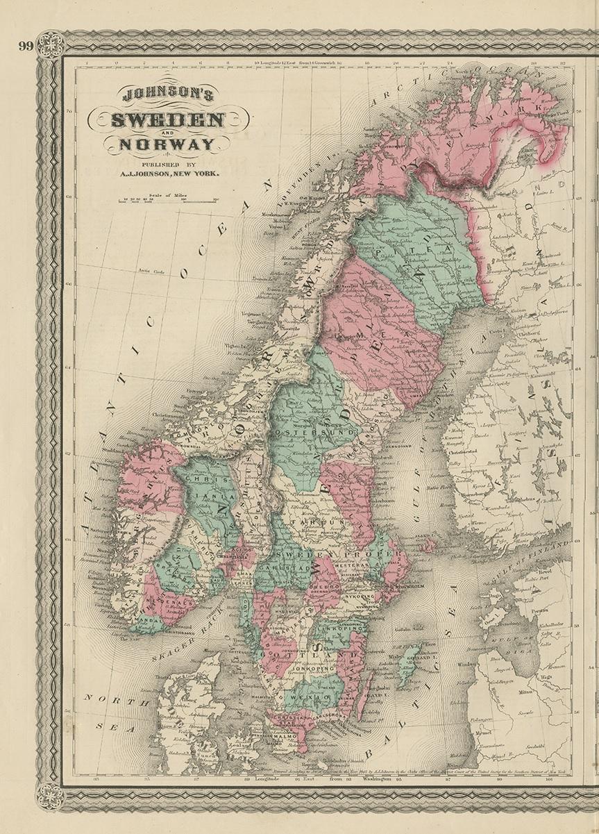
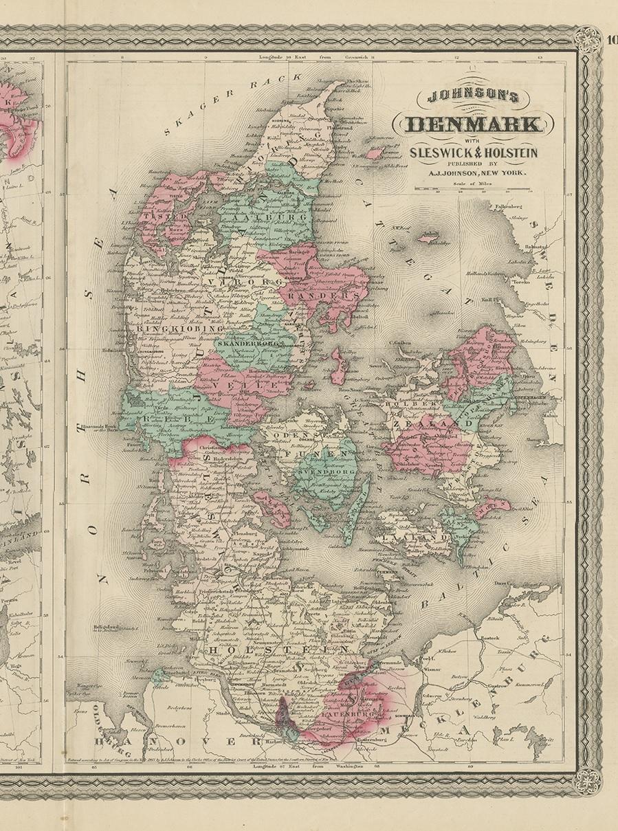
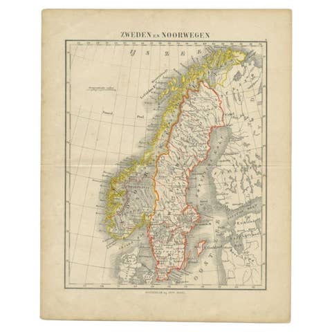
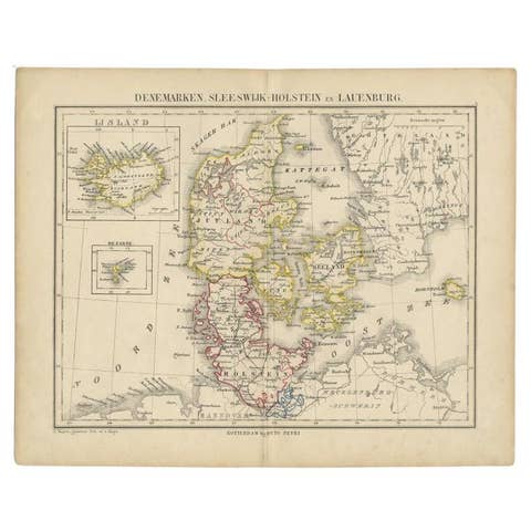
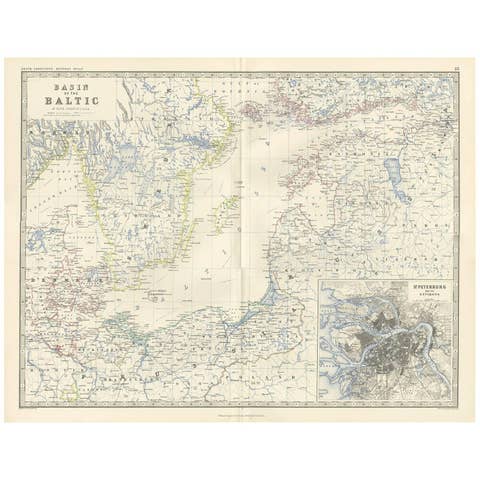
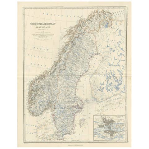
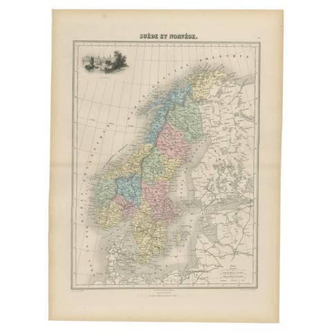
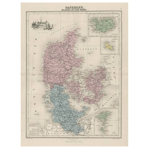
The image is an antique map, a two-page spread from "Johnson's New Illustrated Family Atlas of the World," by A.J. Johnson, dated 1872. This particular map offers a depiction of Sweden and Norway on one page, and Denmark along with the duchies of Schleswig and Holstein on the other, both set within an ornate border that is characteristic of Johnson’s atlas designs.
The map of Sweden and Norway shows the two countries occupying the Scandinavian Peninsula, with a clear delineation between them. The map is color-coded, likely to indicate political boundaries, with Norway to the west in a single color and Sweden to the east in another. Fjords and mountainous terrain are depicted in Norway, and major rivers and lakes are visible in Sweden. The cities and towns are marked, possibly with size indicating their importance or population.
Denmark, on the right, is shown with its mainland Jutland peninsula and numerous islands. The duchies of Schleswig (Sleswick) and Holstein are located at the southern part of the Jutland peninsula, and they are detailed with different colorings, which may reflect their contentious political status at the time. The map includes detailed coastal lines, town dots, and possibly the rail network of that era.
A.J. Johnson’s atlases are known for their accuracy and beauty and were considered some of the finest American atlases produced in the 19th century. The cartography would be based on the best available knowledge of the time, and this map would serve not only as a practical reference but also as an educational tool for families. The visual appeal and the inclusion of geographic and political information make it a valuable historical document, reflecting the understanding and representation of these Northern European regions in the late 19th century.