Maps & PrintsBartele Gallery · Langweer
Home / Antique Maps / Asia / North Asia

North Asia · 18th century

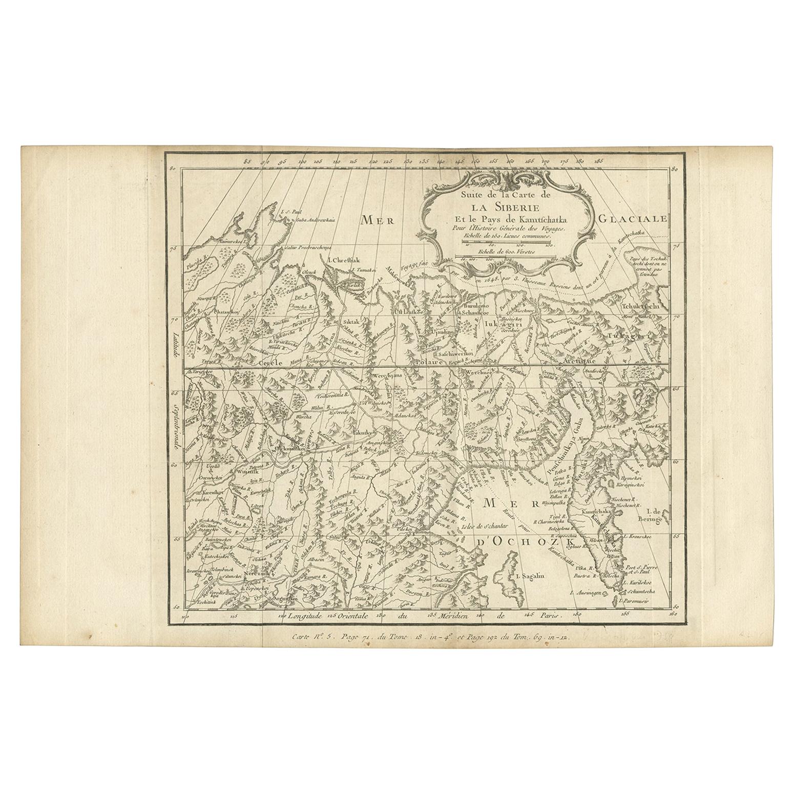
Antique Map of Eastern Siberia by Bellin '1768'

€ 218

One of a kind: this is the sheet in the photographs. Ships from Langweer, the Netherlands.

Date
1768
Sheet size
25 × 37 cm (9.8 × 14.6 in)
Condition
Good
Reference
BG-12645-6

Condition

General age-related toning. Original folding lines. Minor wear/creasing, blank verso. Please study image carefully.
About this sheet

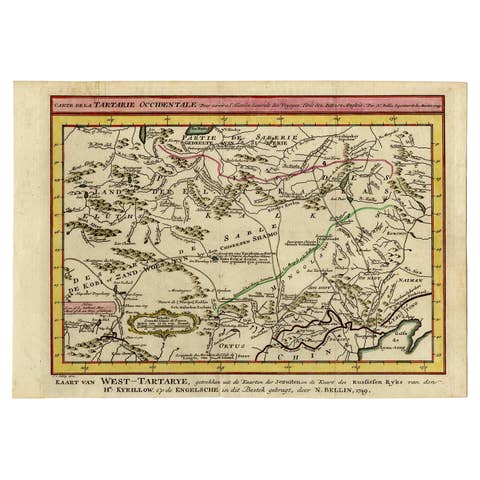
Antique map titled 'Suite de la Carte de la Siberie et le Pays de Kamtchatka'. Original antique map of the eastern portion of Siberia, centered on eastern Russia and the Mer d'Ochozk (Sea of Okhotsk) showing the Kamchatka Peninsula and I. de Beringe and I. Sagalin. The map shows the tracks of Russian ships voyage to Kamschatka: "voyage fait par mer en 1648 par 3 vaisseaux Russiens dont un est parvenu a la Kamtschatka" (1648 voyage by 3 Russian ships, one of which arrived in Kamchatka). Engraved by J.N. Bellin for 'Histoire Générale des Voyages'. Published 1768.

More from North Asia

Ask about this sheet

Antique Map of Eastern Siberia by Bellin '1768'
1768 · Ref. BG-12645-6 · € 218
We reply by email, usually within one working day.