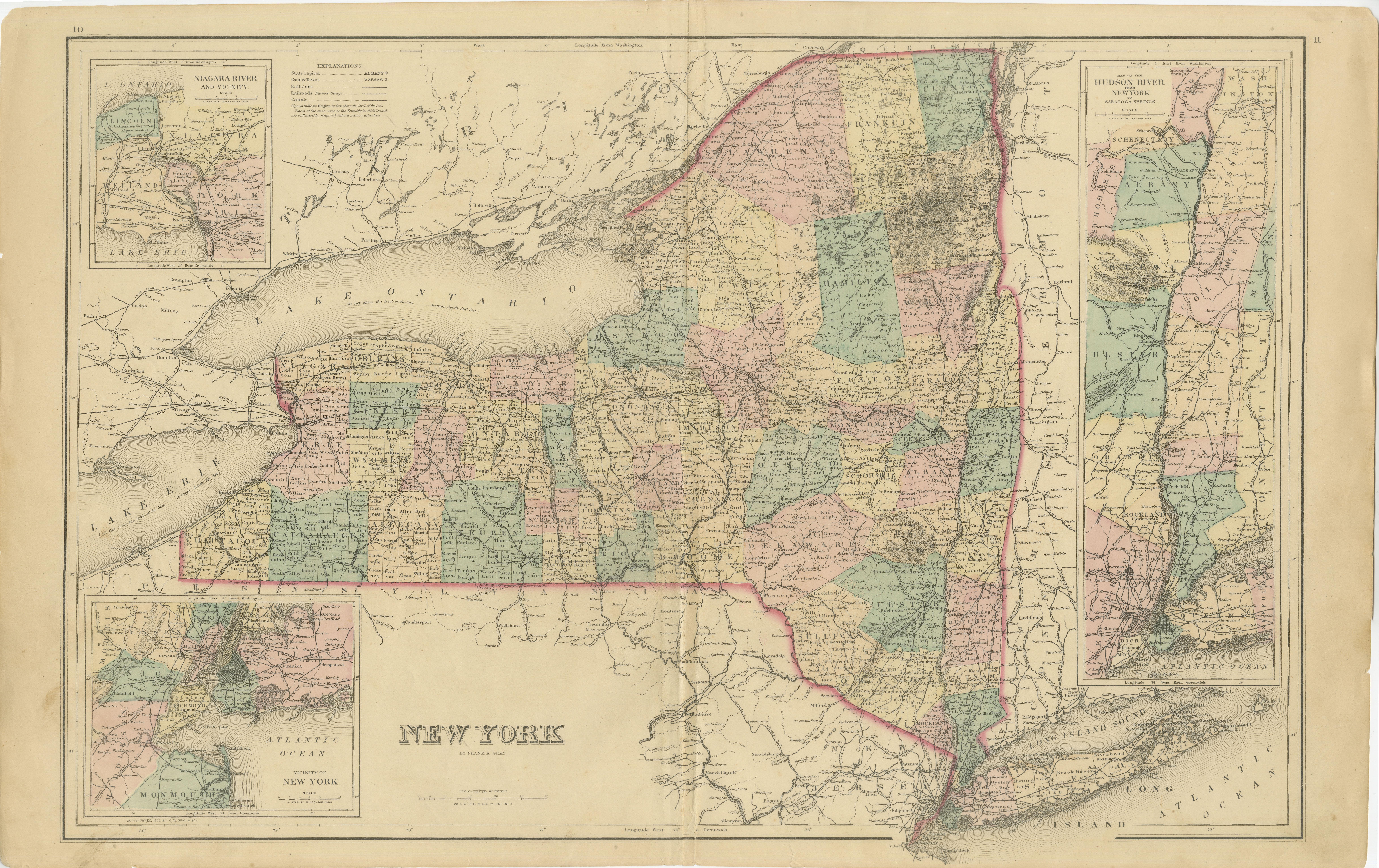
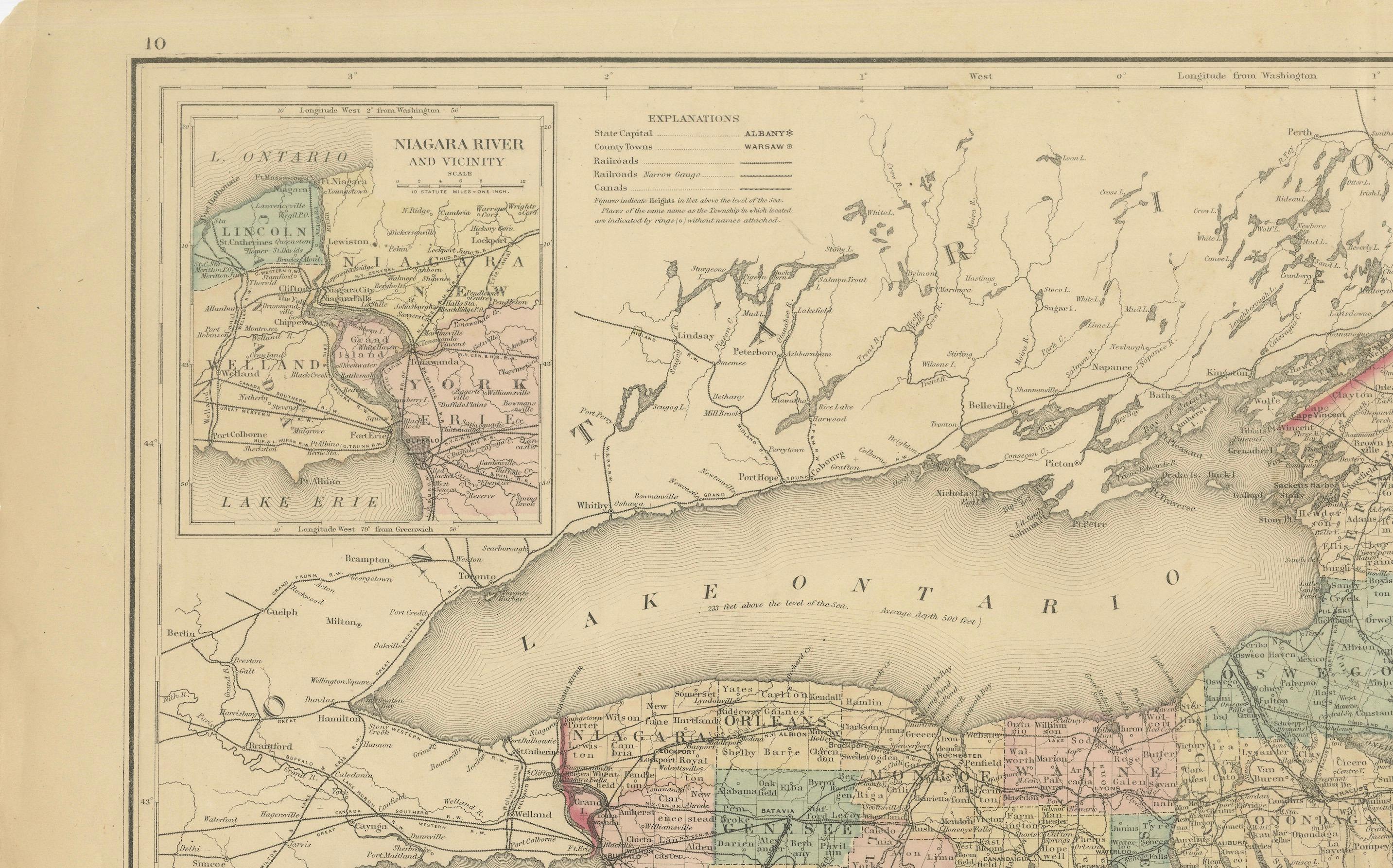
1876 Antique Map of New York State with Niagara and Hudson River Insets
€ 220
One of a kind: this is the sheet in the photographs. Ships from Langweer, the Netherlands.
Date
1876
Sheet size
43.5 × 68 cm (17.1 × 26.8 in)
Condition
Good
Reference
BG-13952-1
Condition
Good condition, considering age, with some yellowing that is typical of maps from this period. Some soiling and small tears along the edges, due to handling. Study the images carefully.
About this sheet
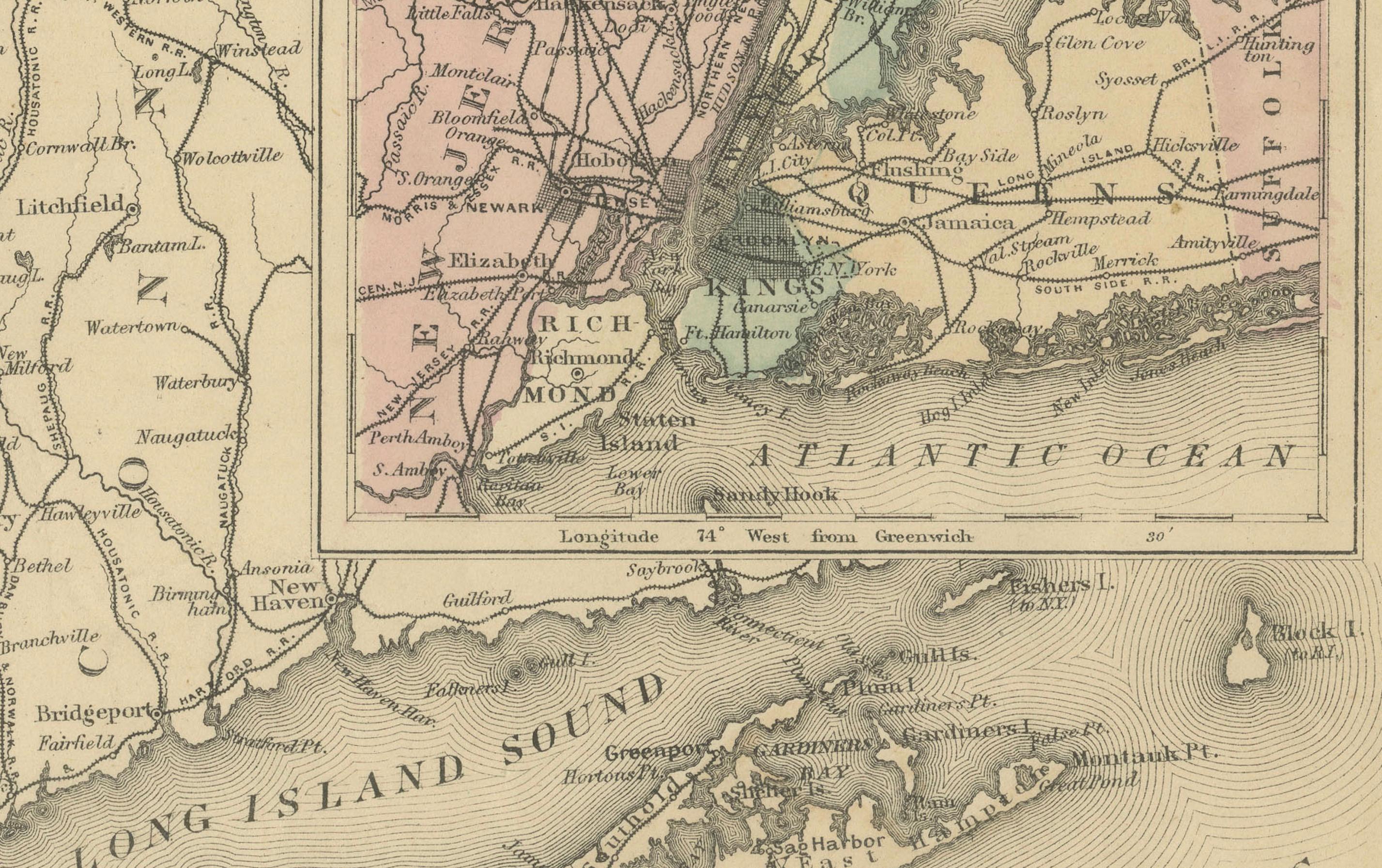
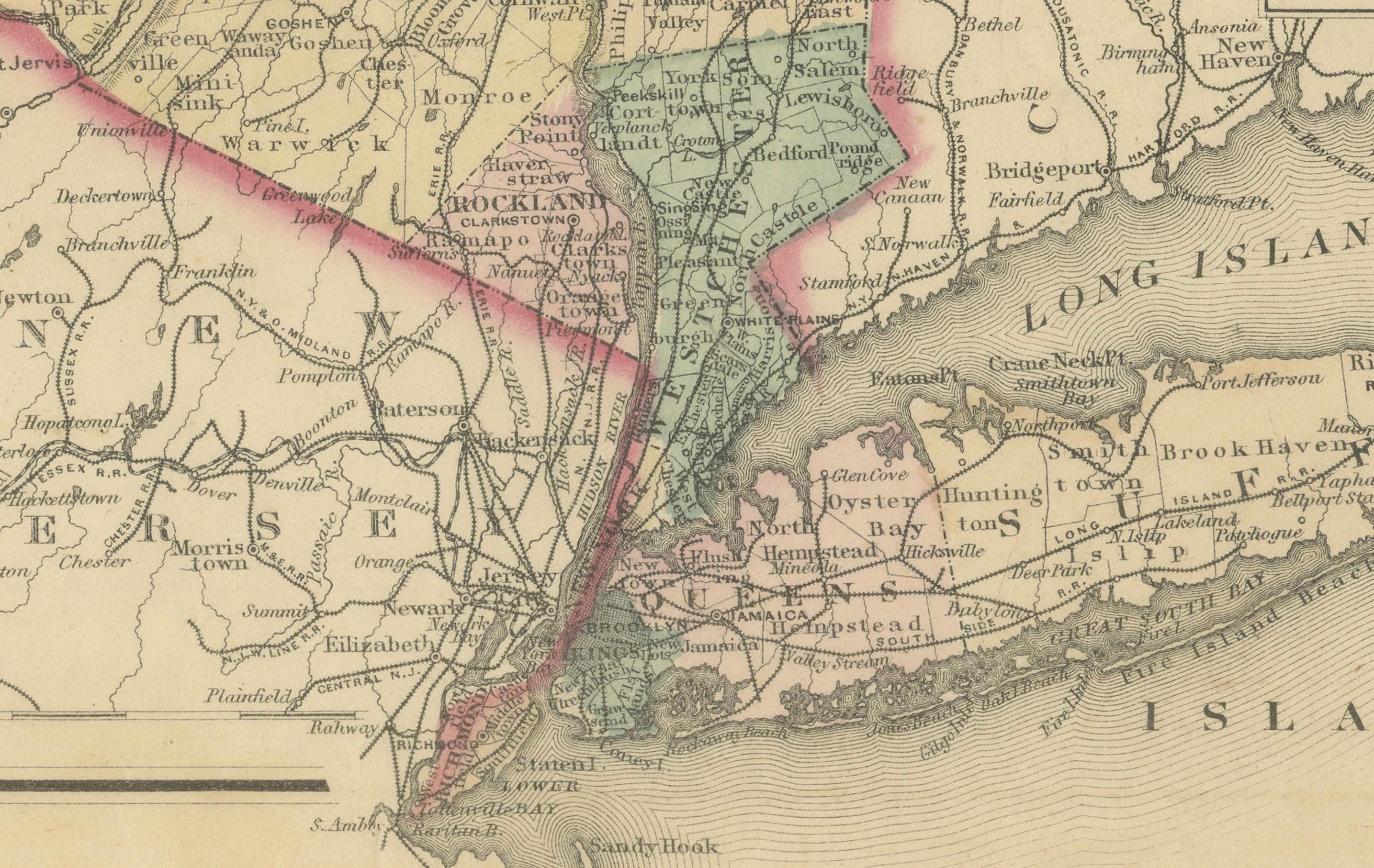
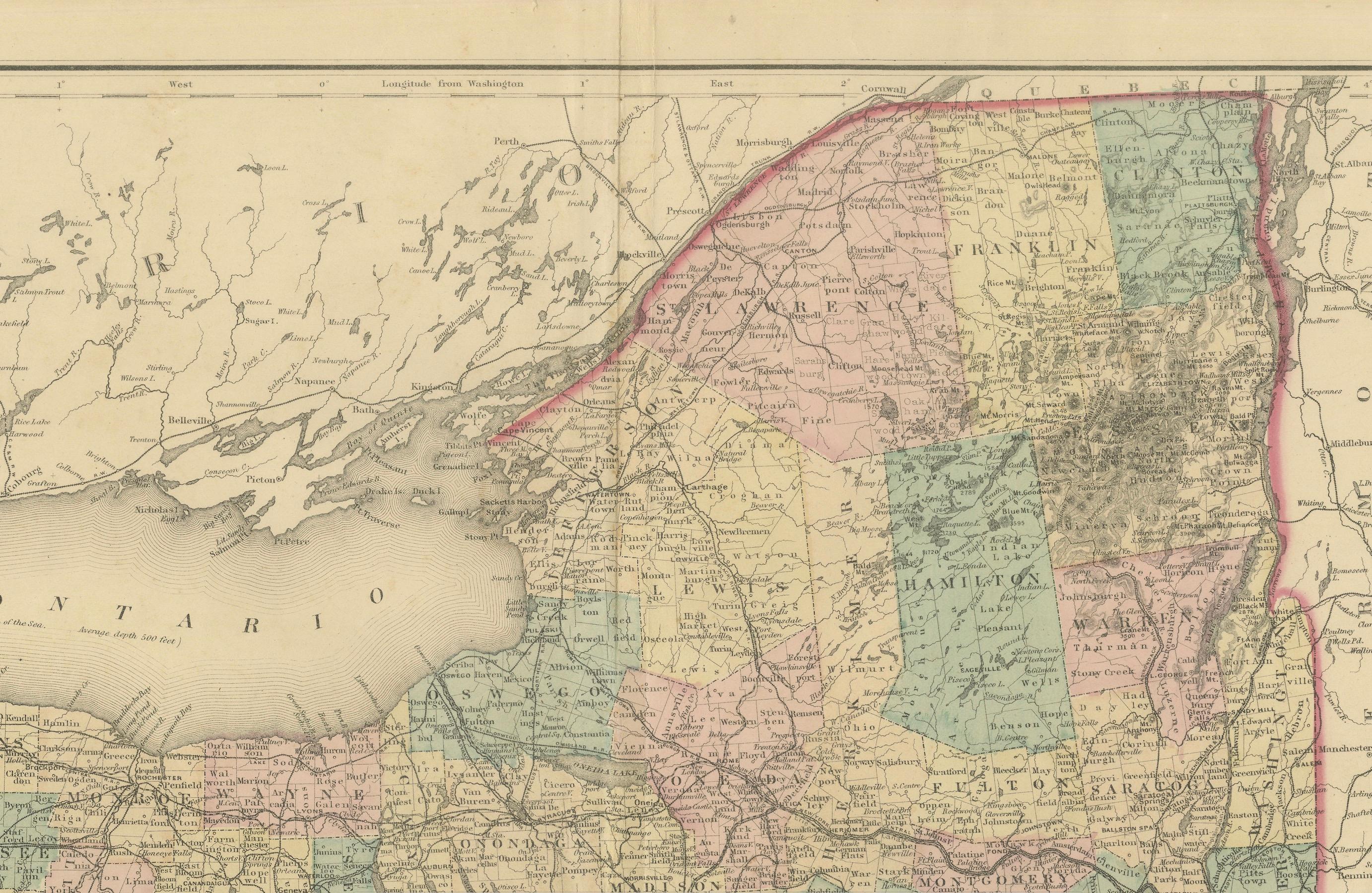
This is a hand-colored map of the state of New York from 1876, created by Samuel Augustus Mitchell Jr., a well-known American cartographer. The map features detailed county divisions, railroads, and major cities, providing a clear picture of the state's infrastructure during the late 19th century. Insets include detailed views of the Niagara River and Hudson River regions, which add historical depth and local specificity to the map.
The map is noteworthy for its intricate detail, showing not only political boundaries but also transportation routes and natural features like lakes and rivers. The coloring helps distinguish different counties and regions, making it an excellent reference piece for both historical and geographical research.
Condition: The map appears to be in good condition, with some yellowing that is typical of maps from this period. There is minor wear along the edges, and evidence of a central fold that has been flattened over time, indicating that this map was originally part of an atlas. The colors remain vibrant, and the paper has aged gracefully, retaining most of its original clarity and charm.