About this sheet
Ornate 1850s Map of the United States: Featuring Iconic Landmarks and Historical Portraits
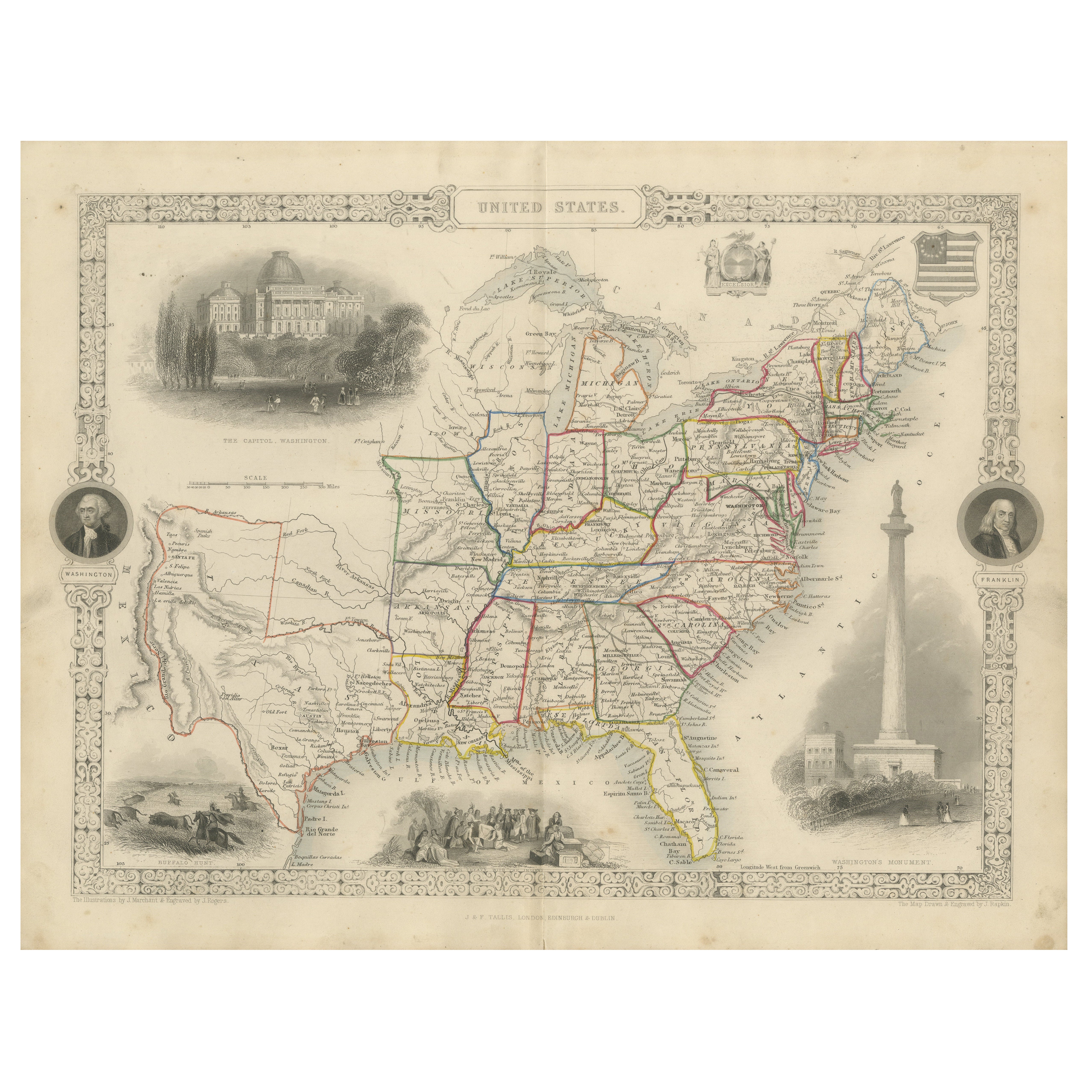
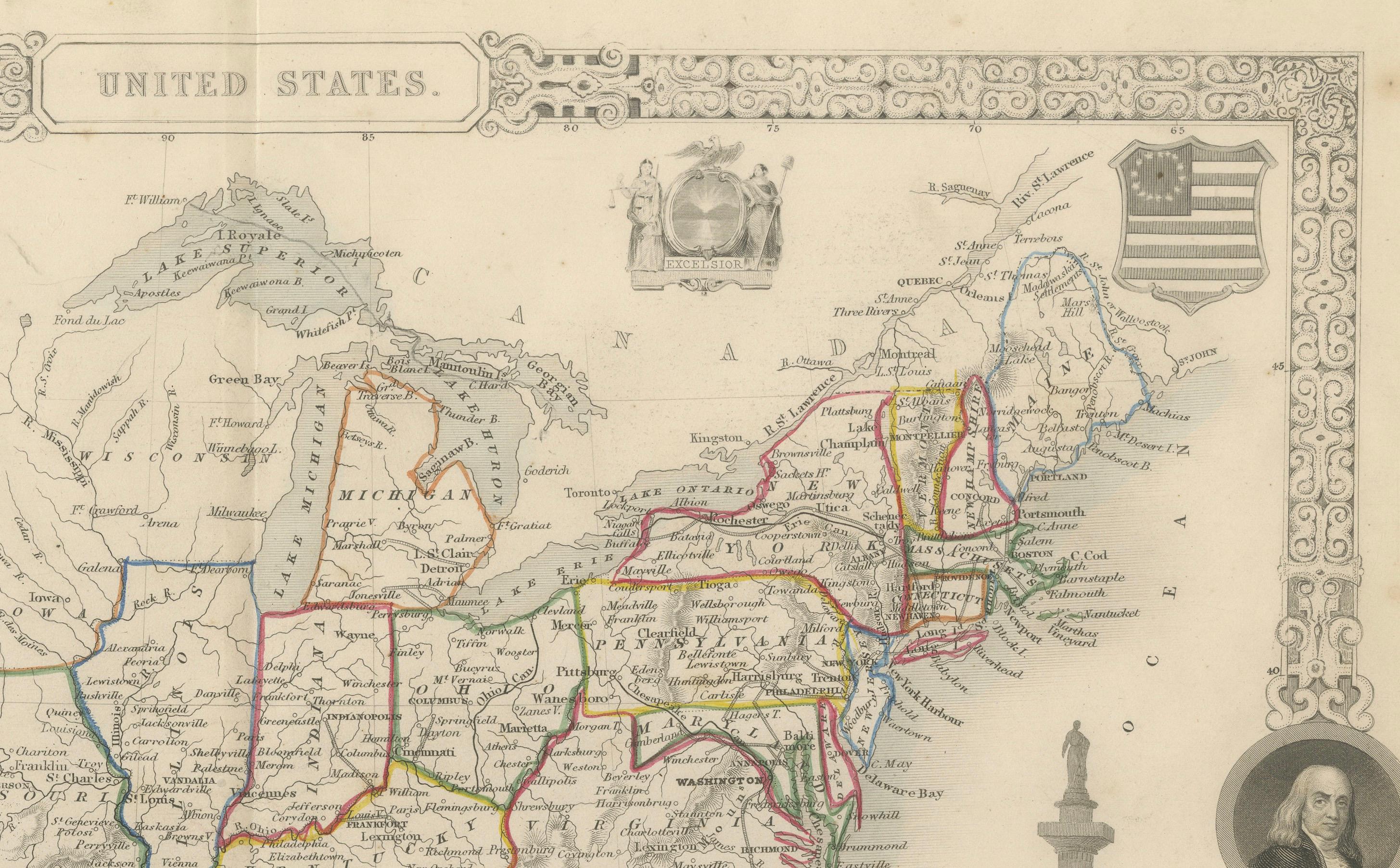
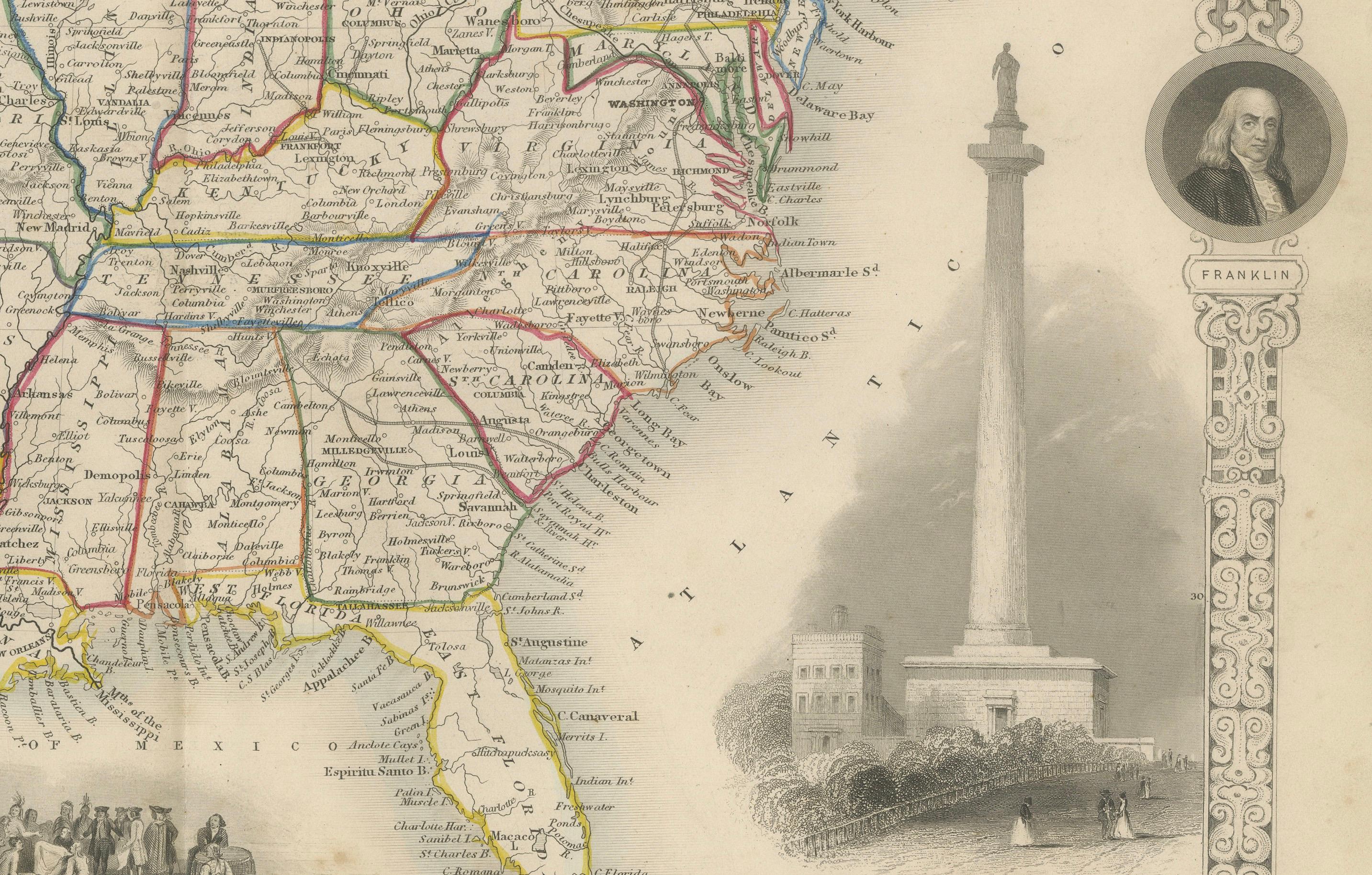
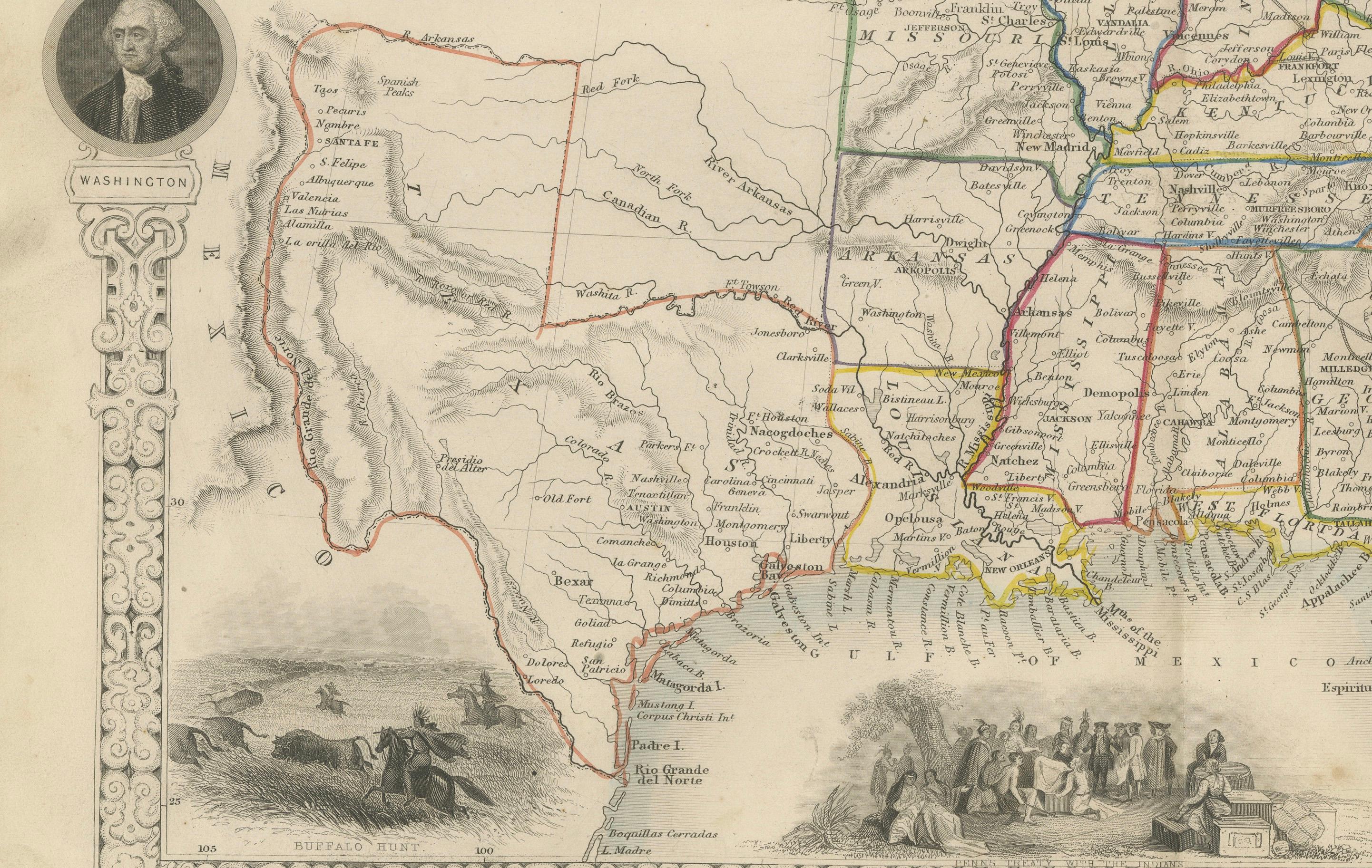
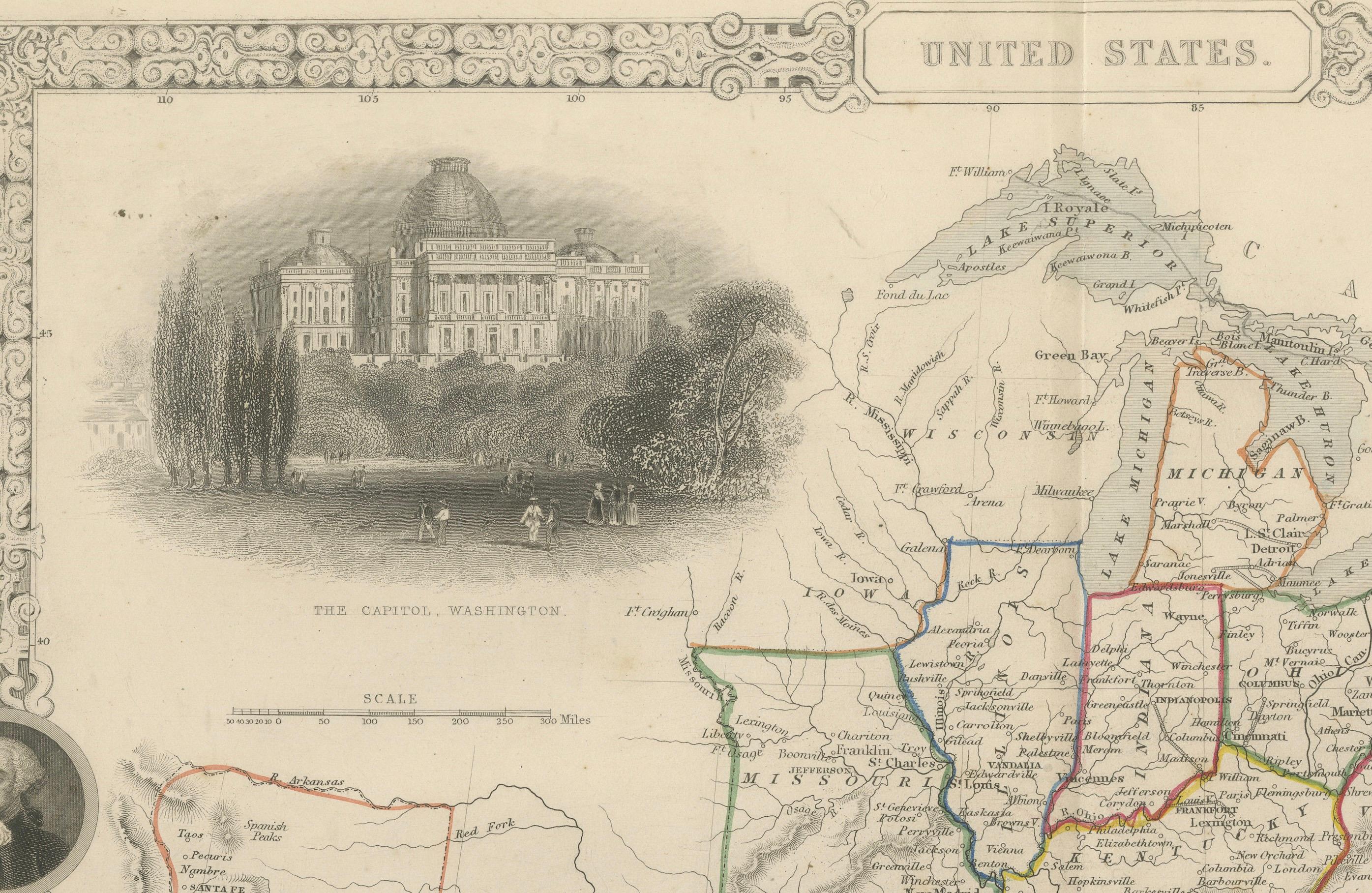
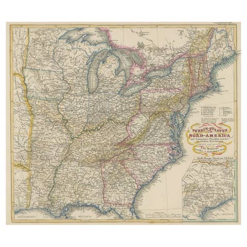
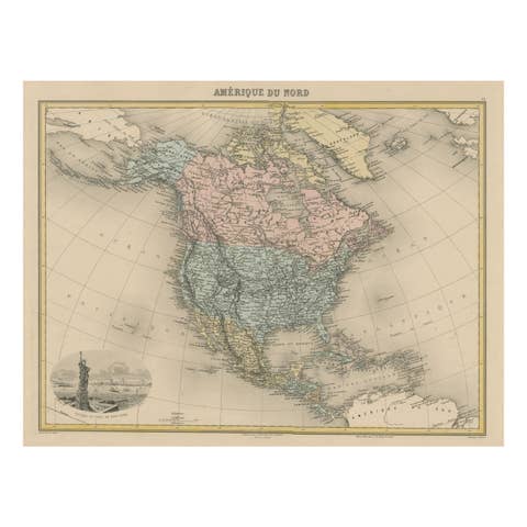
This decorative 19th-century map of the United States, created by J. Rapkin and published by J & F Tallis, offers a captivating blend of cartography and artistic embellishments. Featuring hand-colored state boundaries, it highlights the territorial divisions and geographical features of the U.S. during the mid-19th century.
The map is surrounded by stunning illustrations by J. Marchant, engraved by J. Rogers, showcasing prominent landmarks such as the Capitol in Washington and the Washington Monument. Portraits of George Washington and Benjamin Franklin grace the sides, adding a patriotic touch to the design. The vignettes also include scenes of bison hunting on the plains and an early depiction of Native American life, reflecting the diversity of the American experience at the time.
This map was produced during a period of rapid territorial expansion and growth, making it a fascinating historical artifact. Its intricate border, detailed engravings, and blend of cultural and geographical elements make it ideal for collectors of antique maps and Americana.
Year of Publication: Circa 1850s
Condition: Very good with vibrant hand-coloring, crisp engraving details, and minimal signs of age.
Keywords: United States, antique map, 19th-century map, decorative map, J. Rapkin, J & F Tallis, hand-colored map, Victorian cartography, engraved map, historical geography, American expansion, Capitol Washington, Washington Monument, George Washington, Benjamin Franklin, Native American life, bison hunting, territorial divisions, American history, illustrated cartography, historical landmarks, patriotic Americana, mid-19th century, vintage U.S. map, cartographic art, American landmarks, antique wall art, engraved U.S. map, early United States.