Colorful Old Detailed Map of Northern Carolina, United States of America
€ 290
Original antique · The actual sheet photographed · Certificate of authenticity on request · Sold unframed · Worldwide shipping from € 15 (rates)
Sheet size
39.5 × 54.5 cm (15.6 × 21.5 in)
Condition
Good
Reference
BG-13254-4
What the condition grades mean
Excellent
Bright and clean, with no faults worth mentioning.
Very good
Only light signs of age, such as faint toning.
Good
Normal signs of age for a sheet of this period: toning, some foxing, small marks or neat old repairs.
Fair
Clear faults such as staining, tears or repairs, priced to match.
Every fault we see is written in the condition note, and the whole sheet is shown uncropped in the photos.
Condition
Wear consistent with age and use. General age-related toning. Gazetteer of North Caorlina on verso. Some wear, mainly in margins. Please review the images for further condition details.
About this sheet
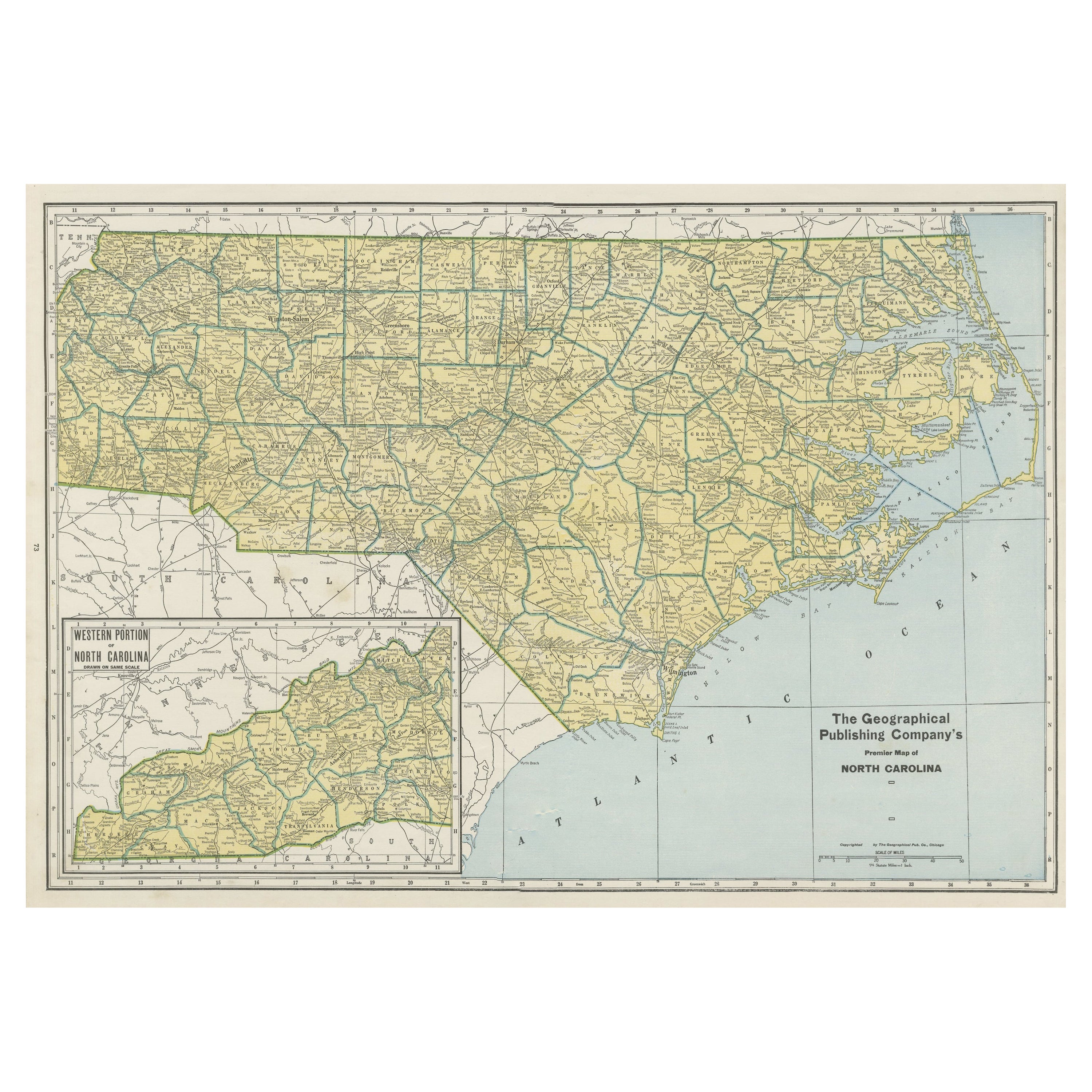
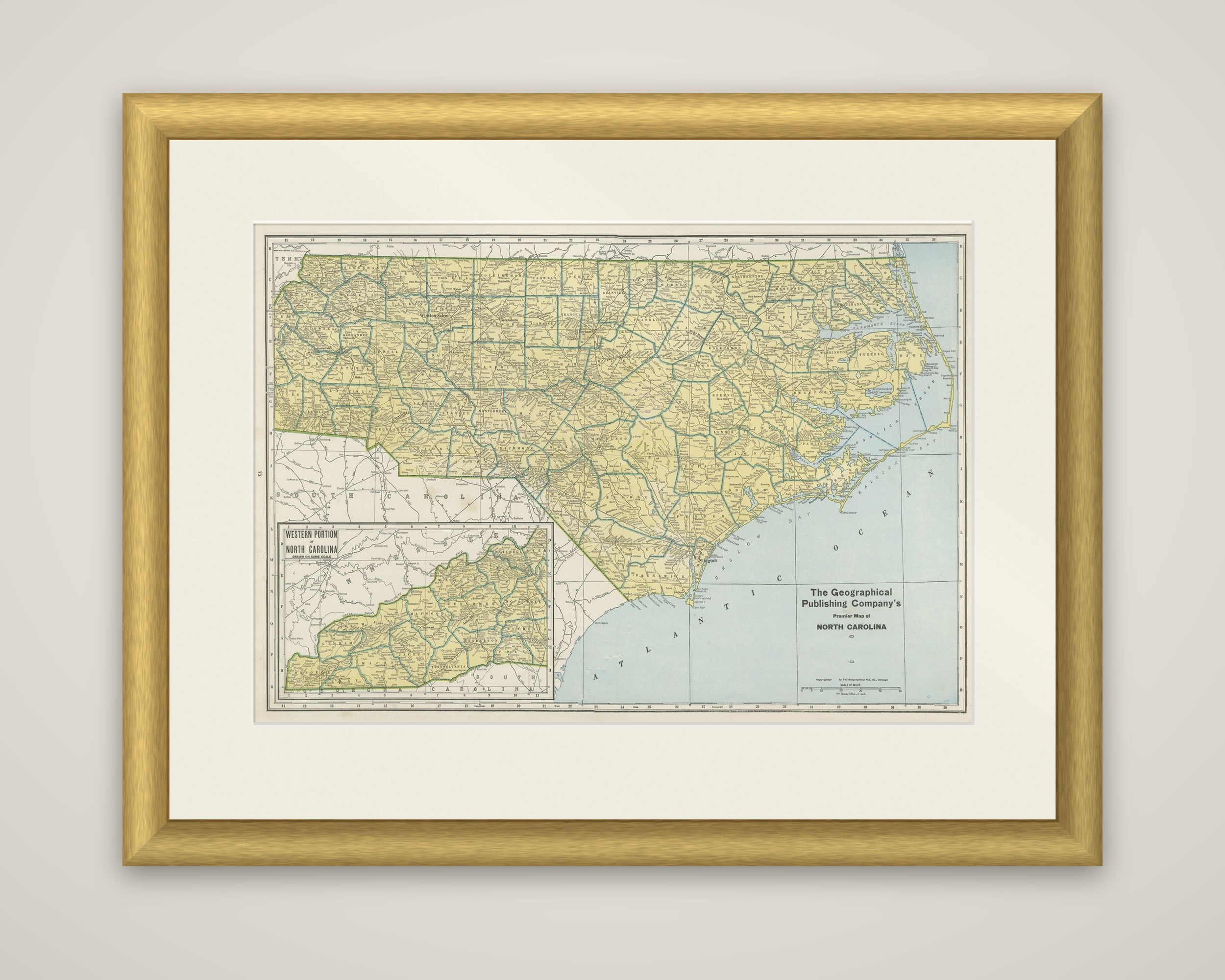
North Carolina in a color-printed county map, titled "The Geographical Publishing Company's Premier Map of North Carolina", from the Commercial Atlas of the World, copyrighted by the Geographical Publishing Company of Chicago and published in 1931. The state is filled in yellow with its county boundaries picked out in green, and the Atlantic is printed in pale blue.
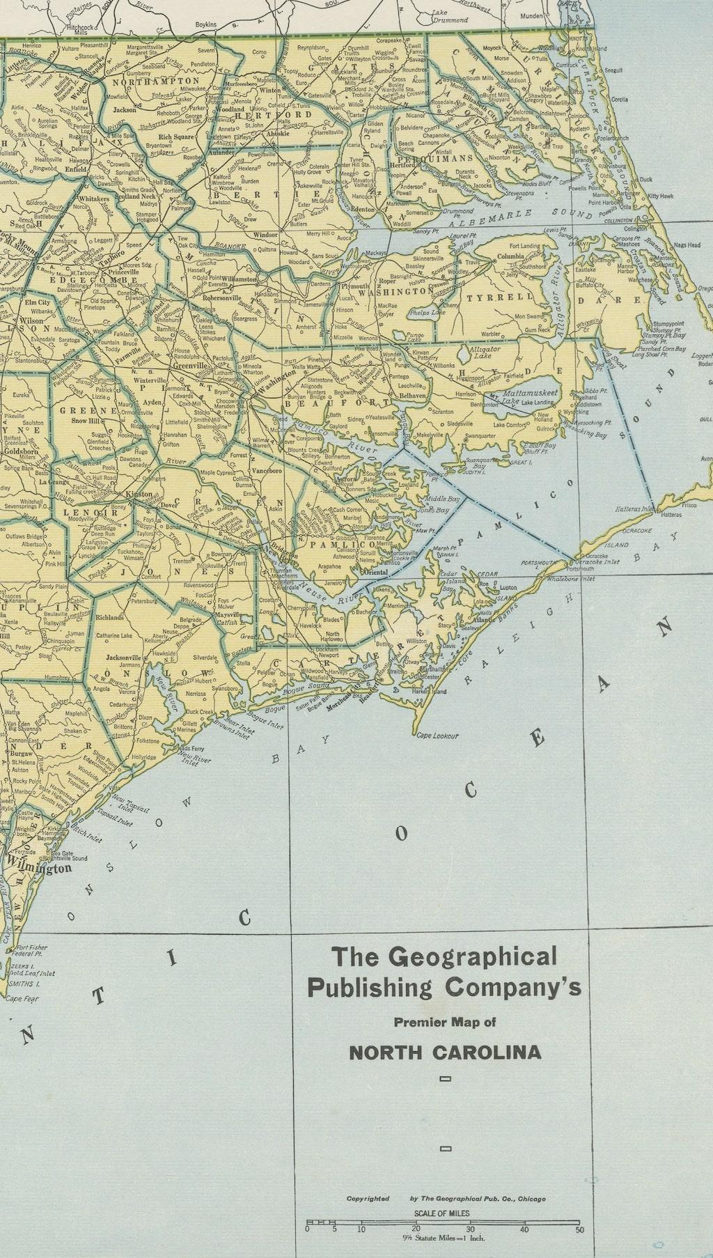
The sheet shows the full width of the state, from the Tennessee line in the west to the Outer Banks in the east, with Cape Hatteras, the sounds and the long barrier coast clearly drawn. County names, towns, railroad lines and the main rivers are lettered throughout, and the neighboring parts of Tennessee, Virginia and South Carolina are left uncolored. An inset at the lower left, titled "Western Portion of North Carolina", enlarges the mountain counties on a larger scale, where the crowded county boundaries of the far west would otherwise be hard to read. The title block and a mileage scale sit at the lower right over the ocean.
A twentieth-century atlas sheet of this kind records the county map of North Carolina in the years between the wars, before the later highway network changed how such maps were drawn.