About this sheet
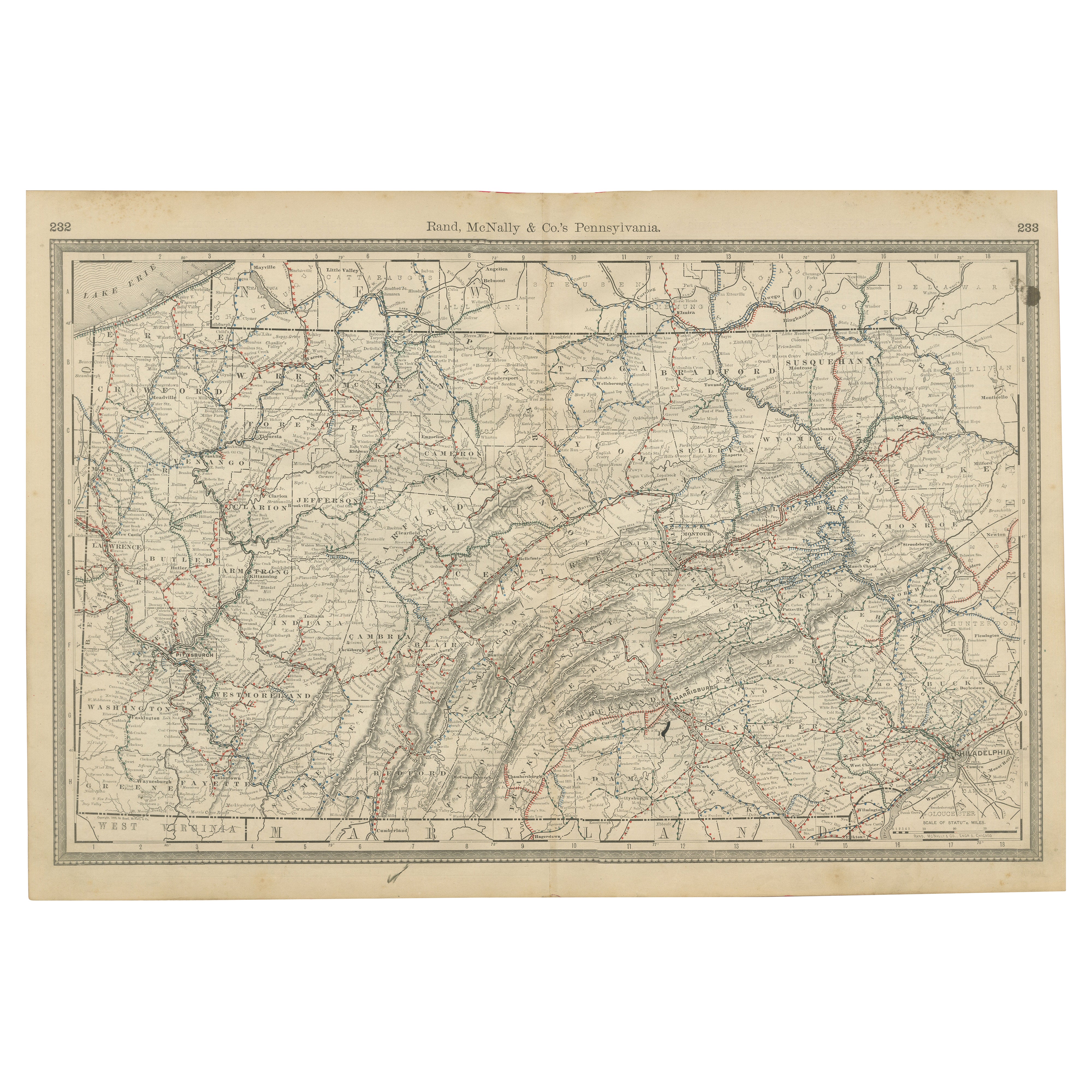
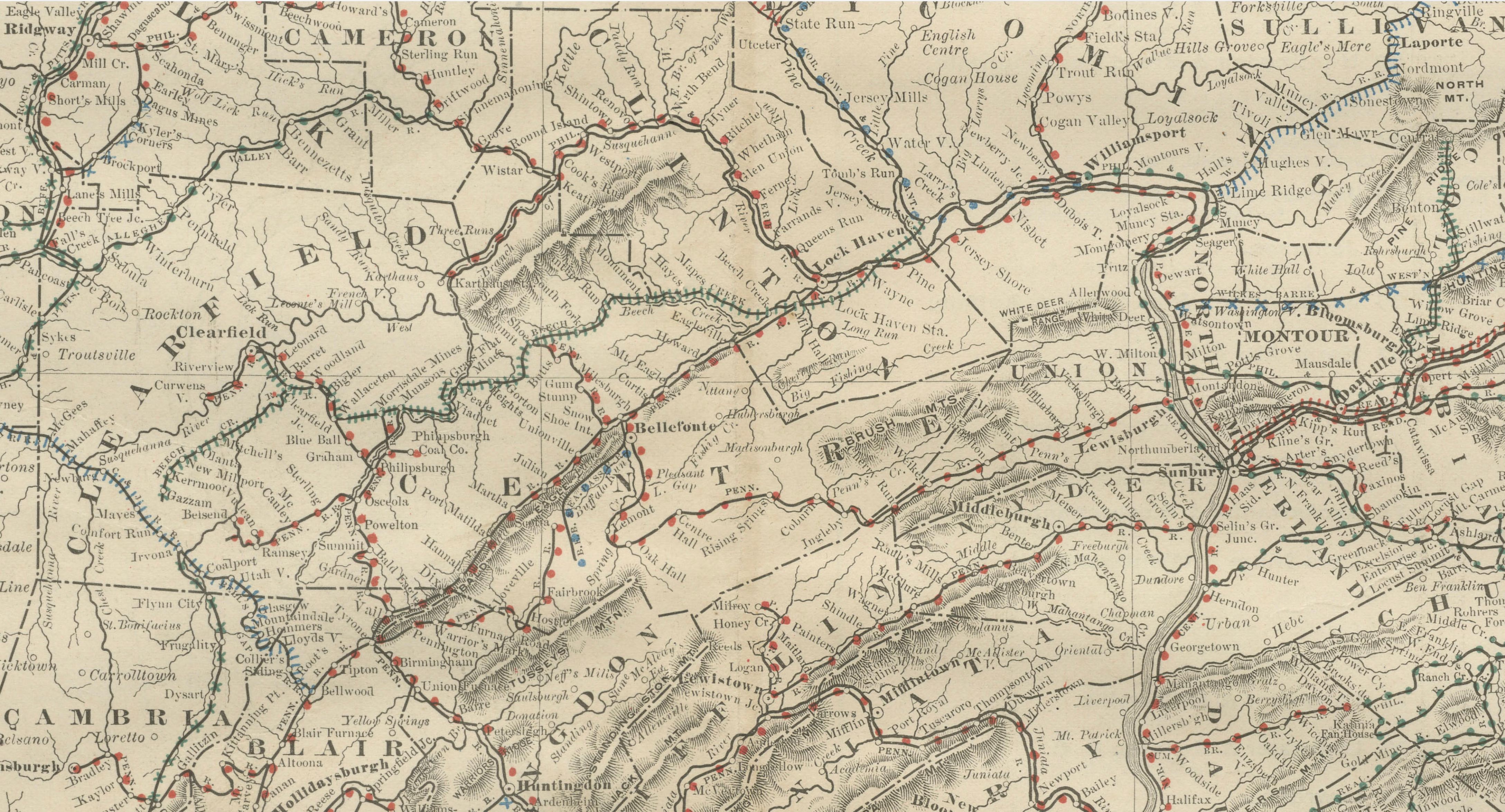
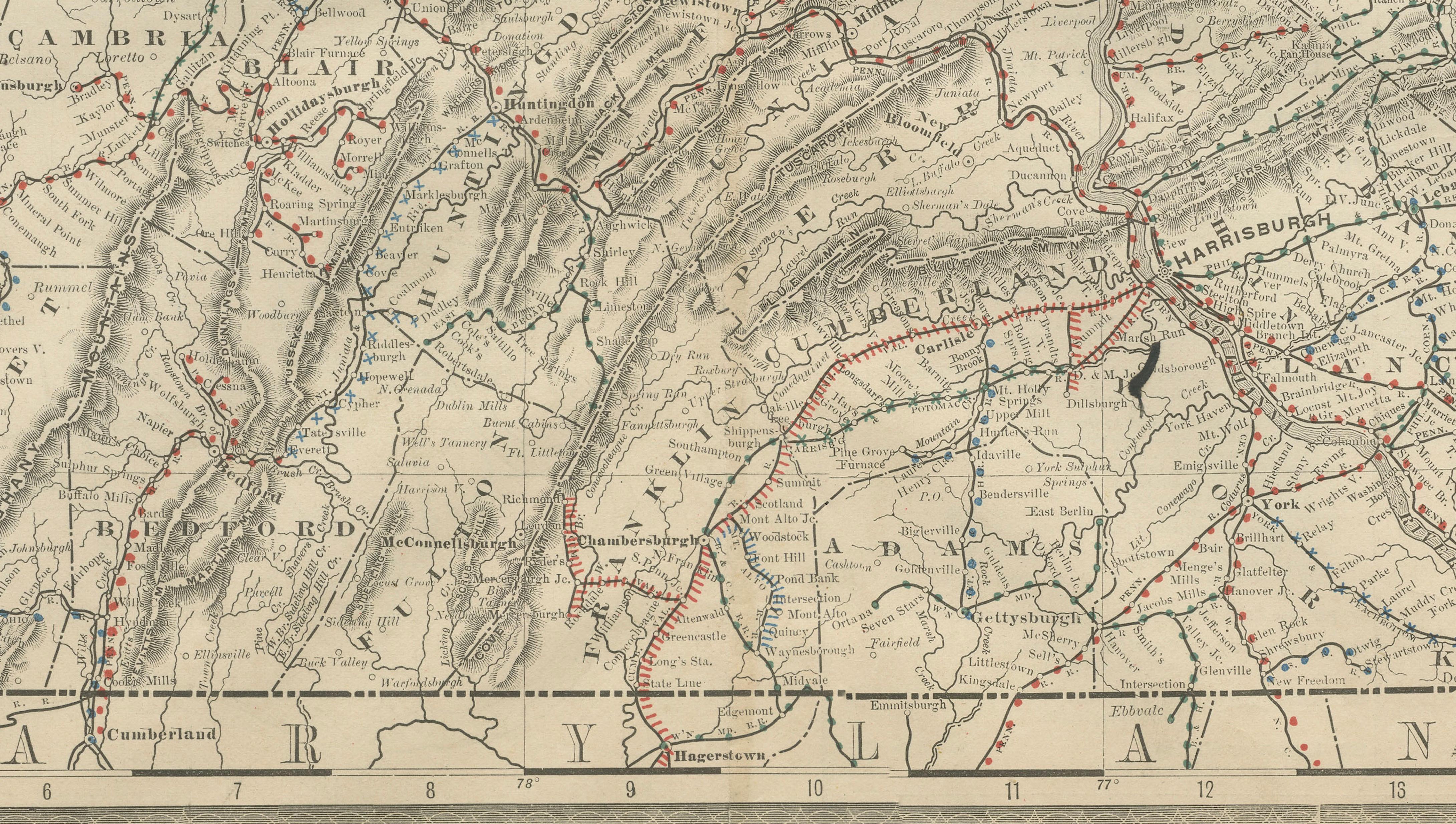
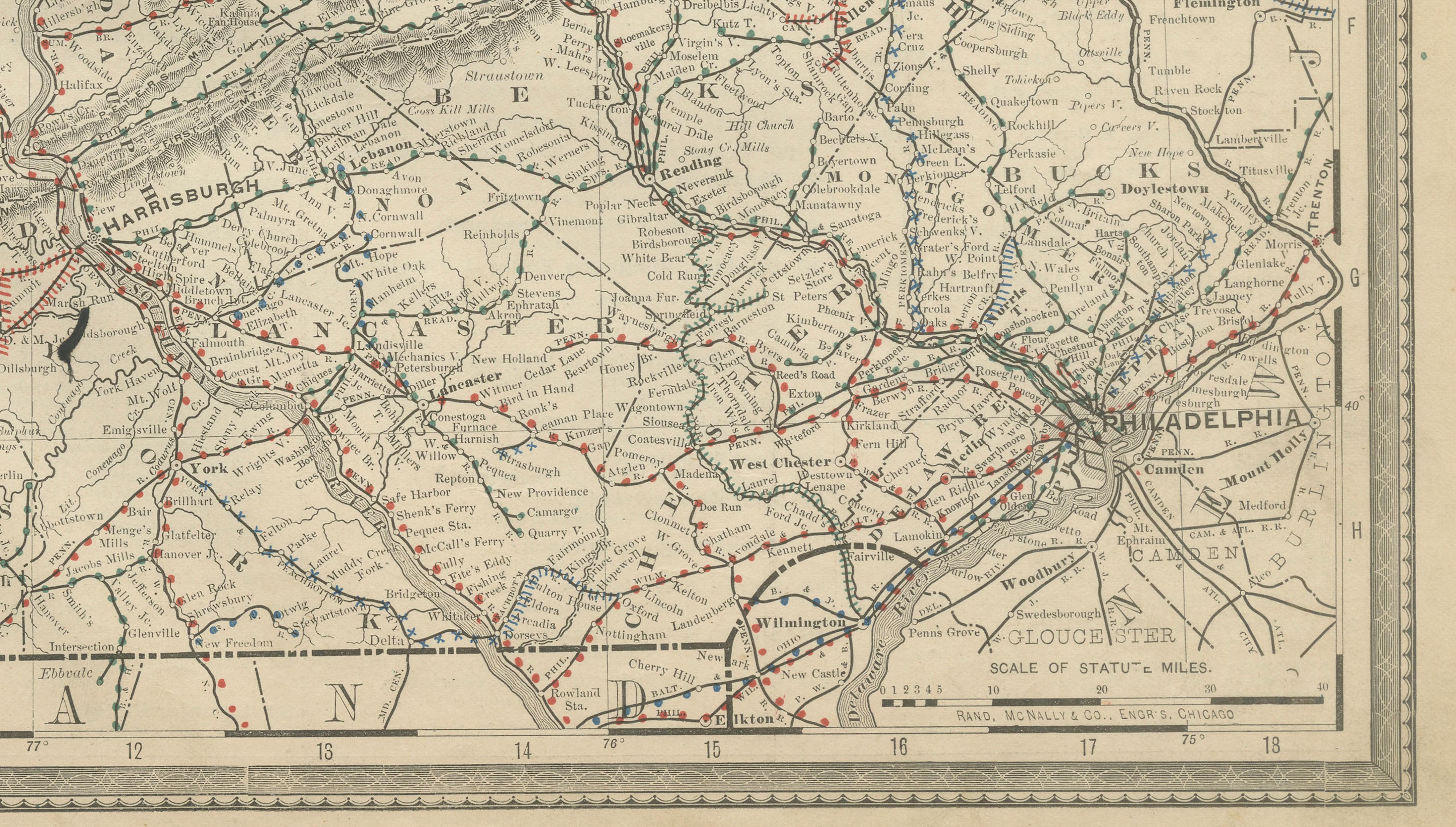
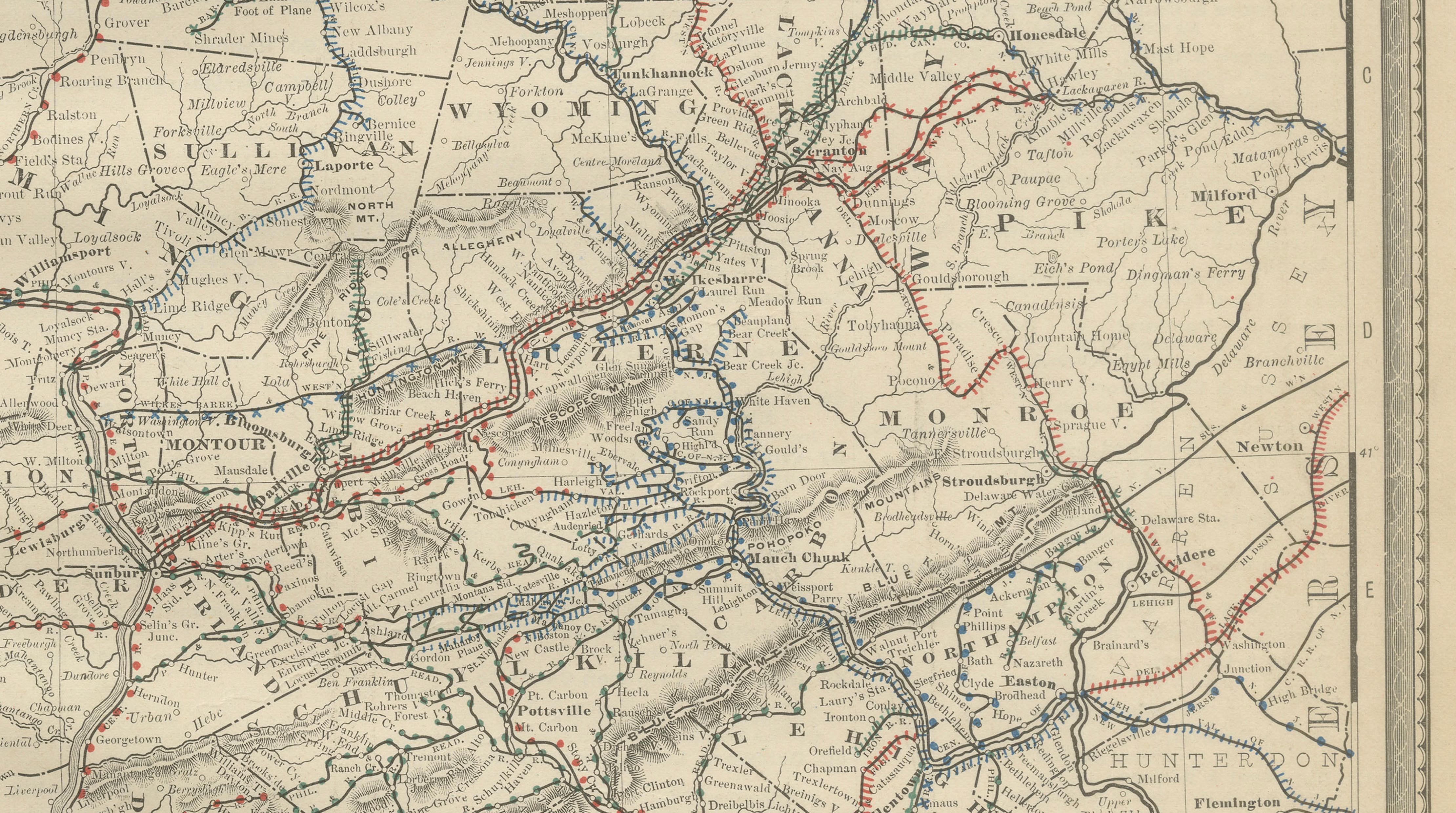
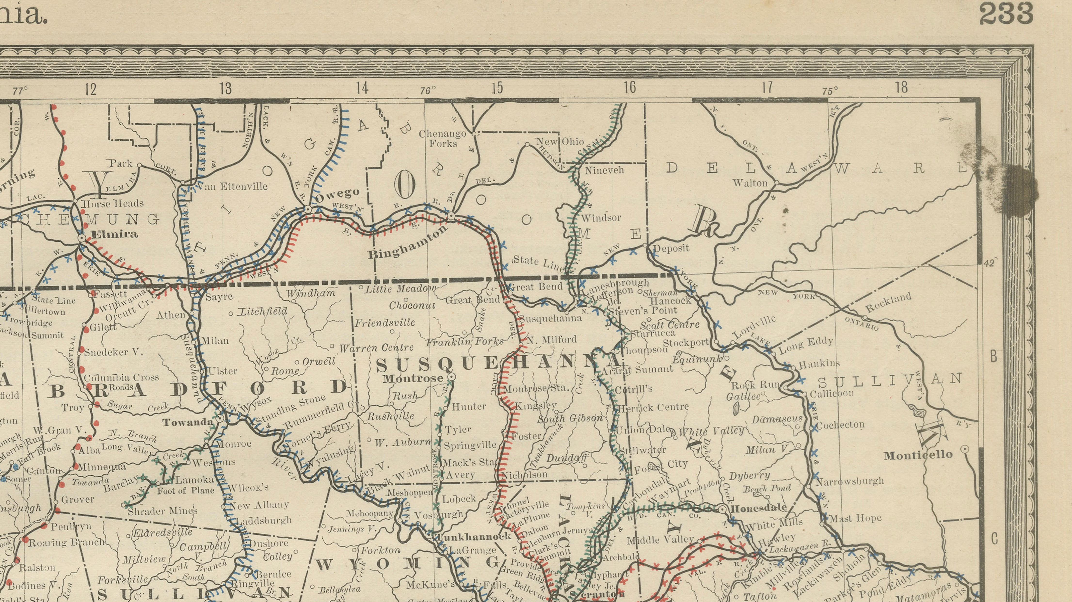
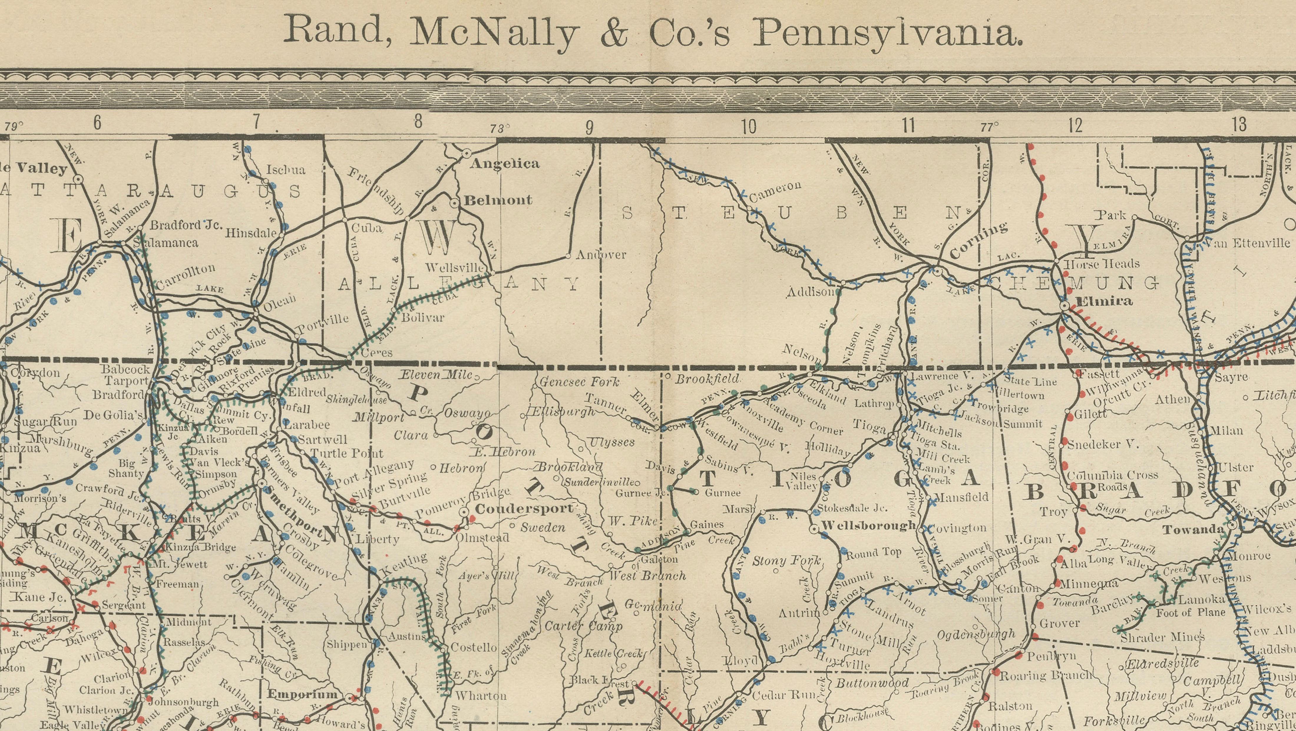
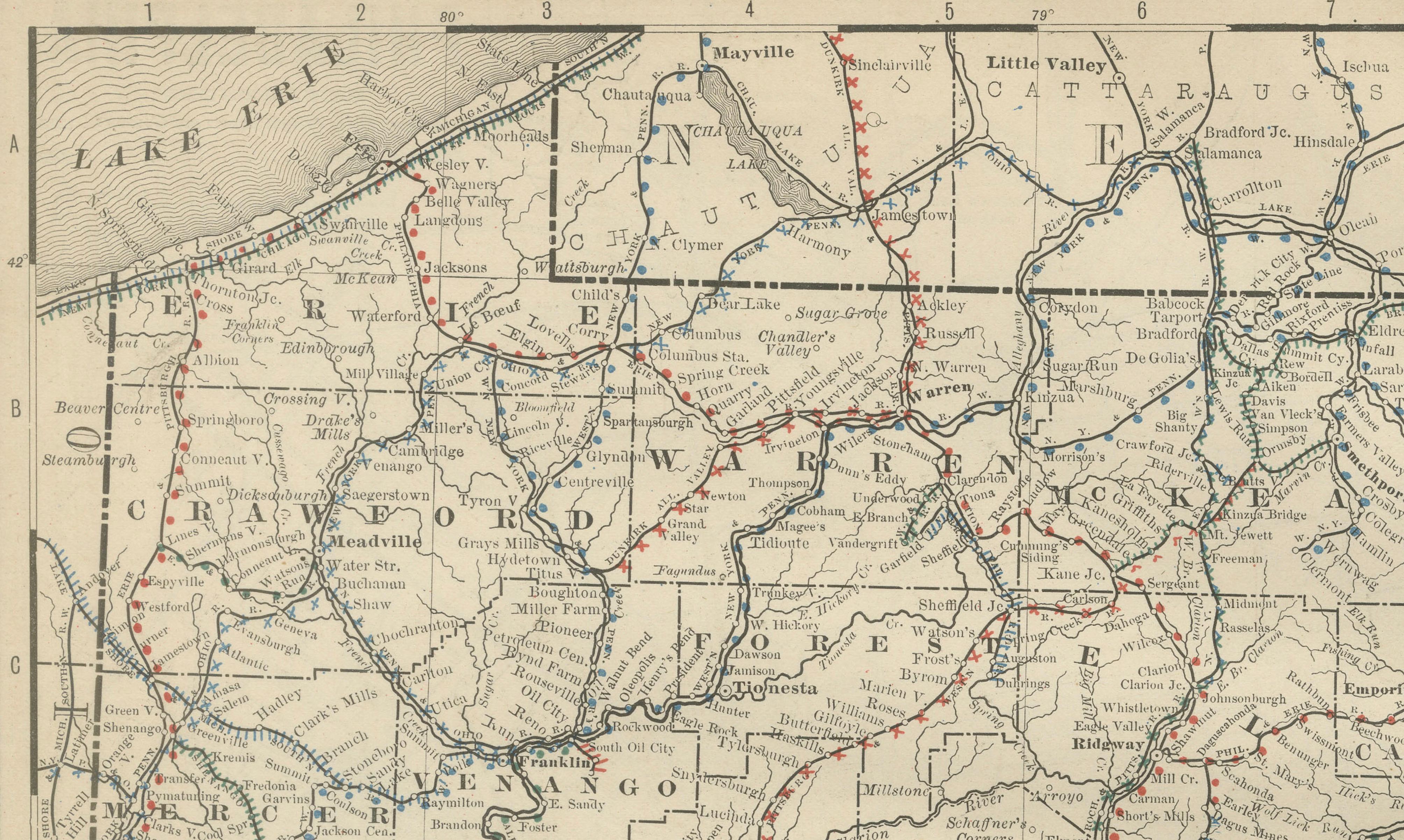
This original antique atlas map depicts the state of Pennsylvania in exceptional geographic detail, showing mountain ranges, river systems, railroads, towns, and county boundaries across the state. The dramatic relief of the Appalachian Mountains gives the map a strong sense of depth, while the dense network of rail lines reveals Pennsylvania’s central role in American industrial and transportation history.
Published by Rand, McNally & Co. in the late 19th century, the map captures Pennsylvania during a period of rapid economic expansion driven by coal, steel, and rail infrastructure. Major cities such as Philadelphia, Pittsburgh, Harrisburg, Scranton, Wilkes-Barre, Erie, and Allentown are clearly shown, along with river systems including the Susquehanna, Allegheny, Monongahela, and Delaware.
The restrained palette and finely engraved relief give the map a refined, almost architectural appearance that translates beautifully into wall art. Despite its density of information, the composition remains balanced and visually engaging, making it equally appealing to collectors, historians, and interior designers.
Printed on original period atlas paper, the sheet retains the authentic surface texture and light patina characteristic of genuine 19th-century maps. Its wide horizontal format works particularly well in studies, offices, libraries, or large wall spaces where it can be appreciated in detail.
Condition report: Light age toning consistent with age. Minor edge wear and small handling marks from original atlas binding. One spot in image. Overall clean and well preserved. Folding line as issued.
Framing tips: Especially effective in walnut, dark oak, or black frames with an ivory or warm off-white mat. Museum glass recommended.
Technique: Color lithograph
Maker: Rand, McNally & Co., United States, late 19th century
Keywords:
antique pennsylvania map, pennsylvania wall art, rand mcnally map, appalachian mountains map, philadelphia map, pittsburgh map, harrisburg map, susquehanna river map, railroad map pennsylvania, antique atlas map, historical pennsylvania map, industrial america wall decor