Antique Map of the Eastern United States with Inset Map of Texas
€ 540
Original antique · The actual sheet photographed · Certificate of authenticity on request · Sold unframed · Worldwide shipping from € 15 (rates)
Sheet size
37.2 × 45.3 cm (14.6 × 17.8 in)
Condition
Good
Reference
BG-13192-2
What the condition grades mean
Excellent
Bright and clean, with no faults worth mentioning.
Very good
Only light signs of age, such as faint toning.
Good
Normal signs of age for a sheet of this period: toning, some foxing, small marks or neat old repairs.
Fair
Clear faults such as staining, tears or repairs, priced to match.
Every fault we see is written in the condition note, and the whole sheet is shown uncropped in the photos.
Condition
Wear consistent with age and use. General age-related toning, minor wear and foxing. Blank verso. Please review the images for further condition details.
About this sheet
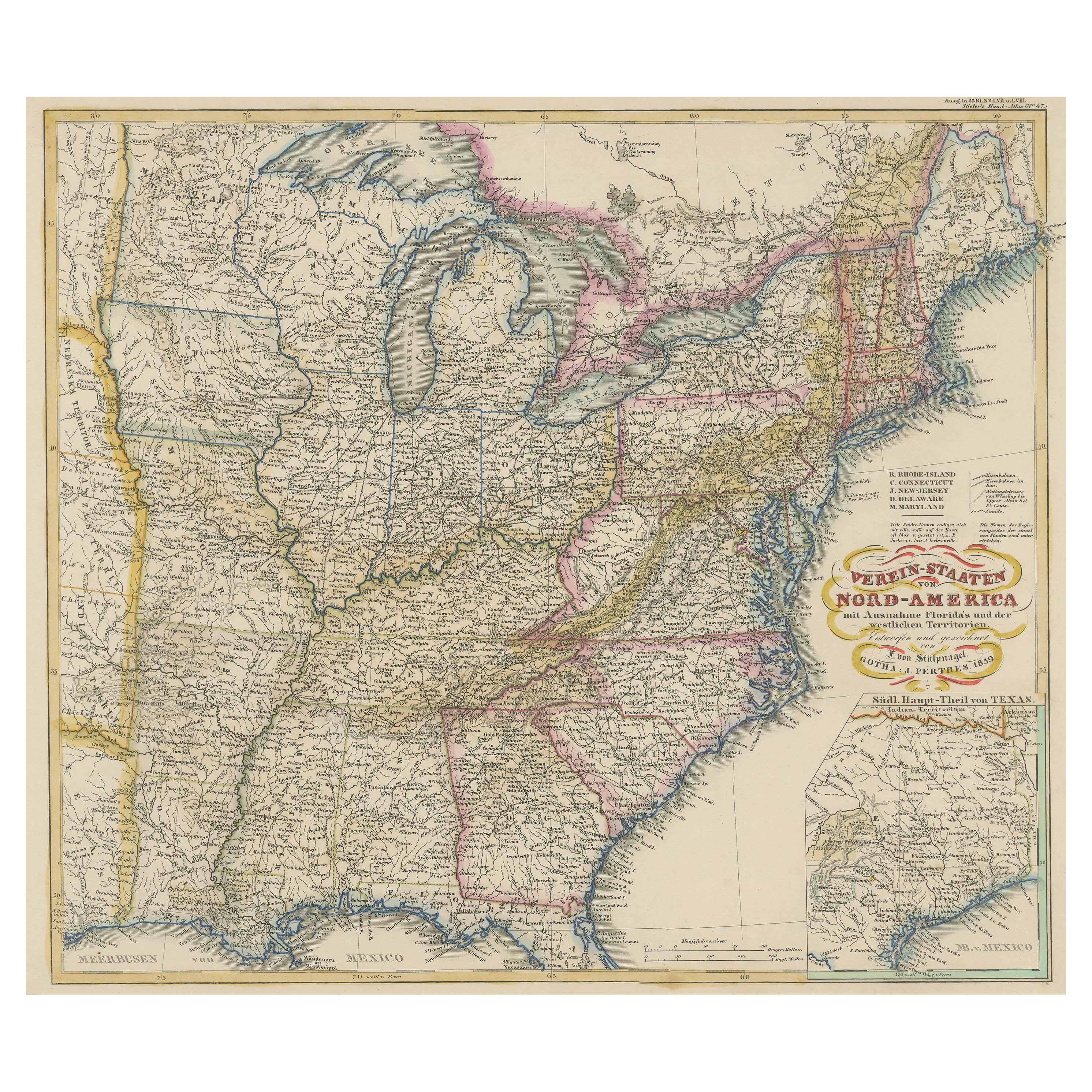
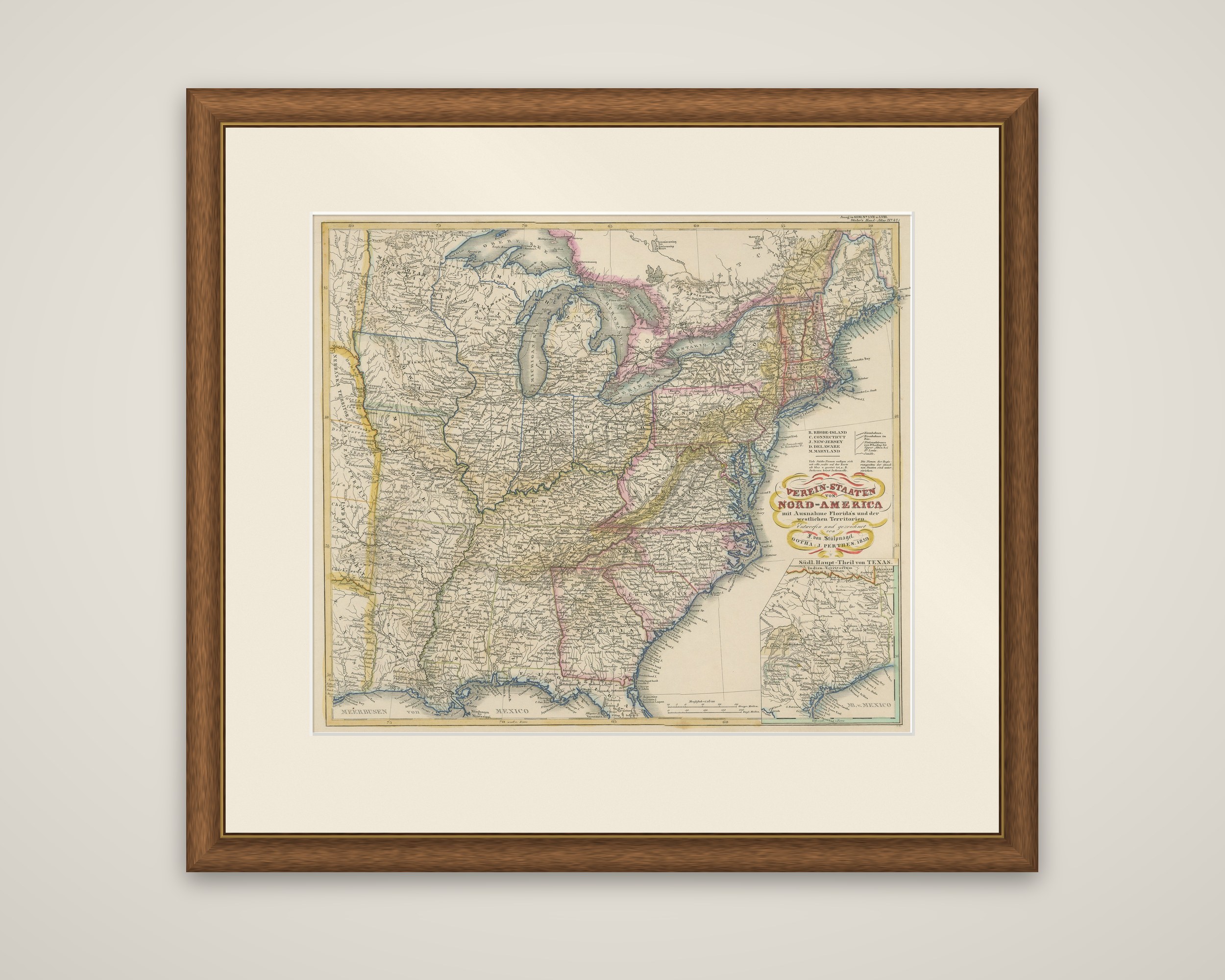
The eastern United States on a map titled "Verein-Staaten von Nord-America mit Ausnahme Florida's und der Westlichen Territorien", from Stielers Handatlas, published by Justus Perthes in Gotha around 1859. The sheet is an engraving with outline color, drawn by F. von Stulpnagel.
The map extends as far west as Louisiana and the Missouri line and includes only the northern portion of Florida. States, major cities, railroads, topography, bodies of water and political divisions of the time are all shown, and the Great Lakes and the Appalachian ridges, in hachures, are prominent. The New England states are marked with letters and a key at the right of the sheet. An inset at the lower right shows the "Sudl. Haupt-Theil von Texas", the southern principal part of Texas. The text is in German with some English place names.
Stielers Handatlas (after Adolf Stieler, 1775 to 1836), formally titled Hand-Atlas uber alle Theile der Erde und uber das Weltgebaude, was the leading German world atlas of the last three decades of the nineteenth century and the first half of the twentieth. Published by Justus Perthes of Gotha, it went through ten editions from 1816 to 1945.