About this sheet
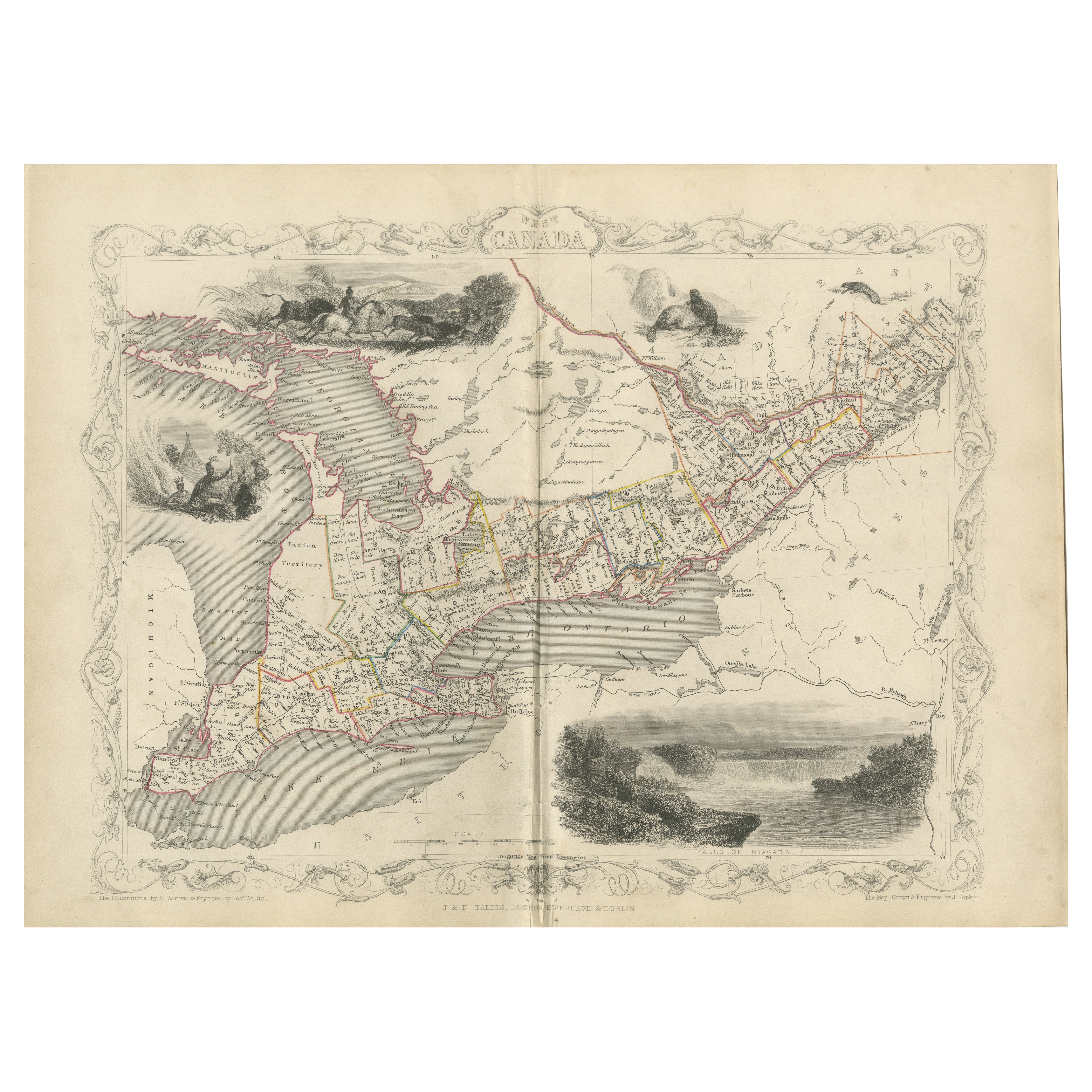
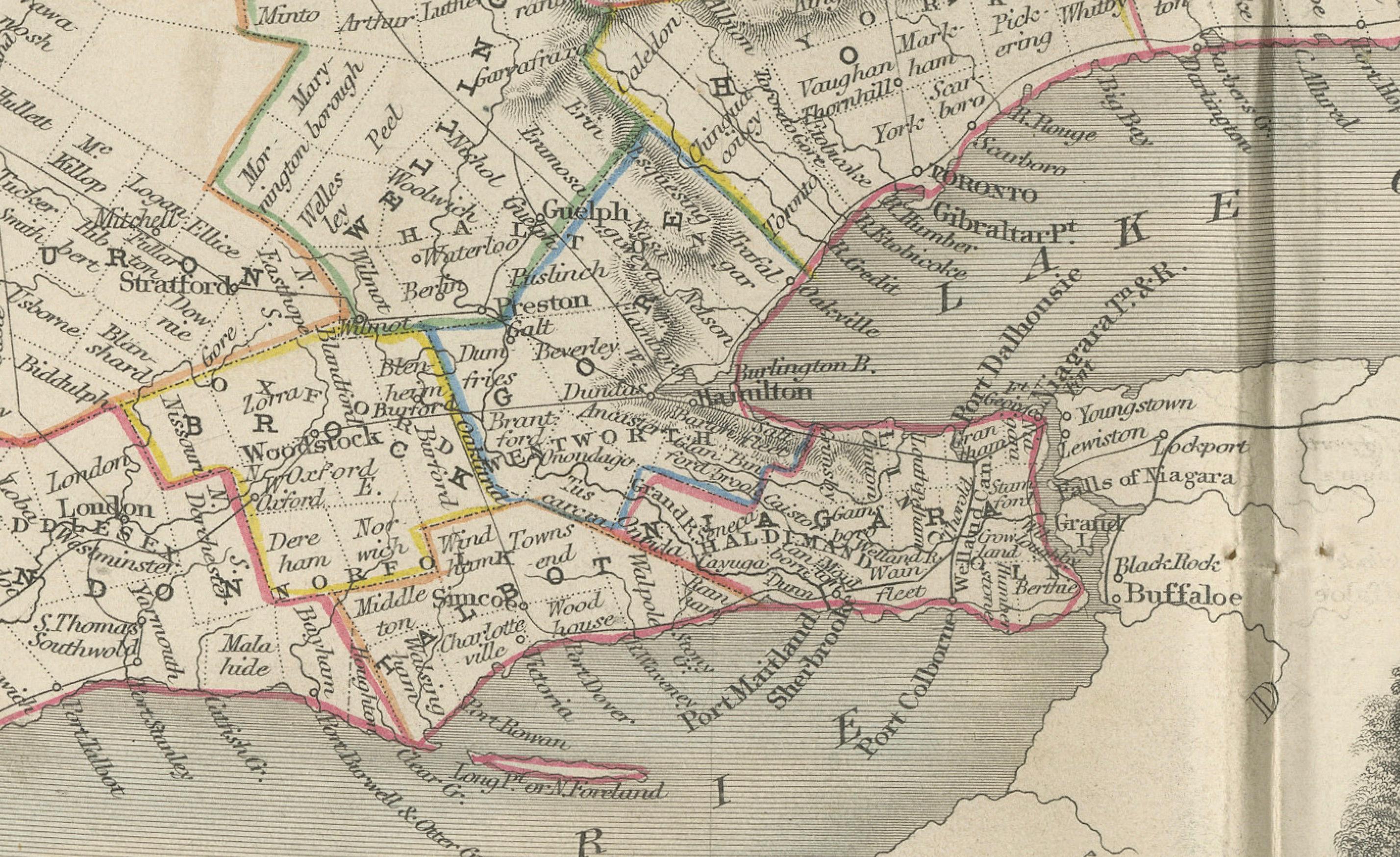
Decorative 19th-Century Map of West Canada with Niagara Falls and Indigenous Scenes
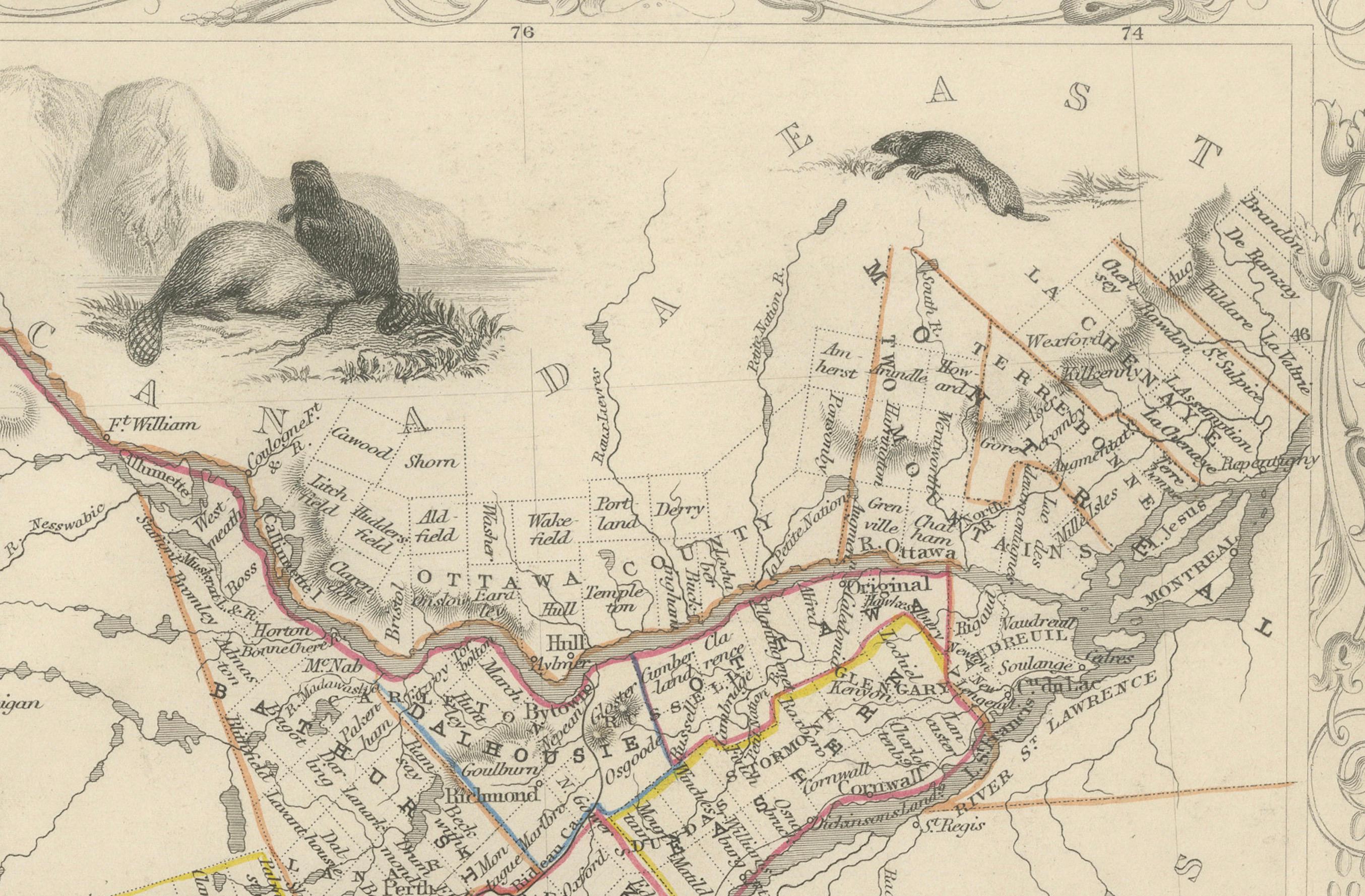
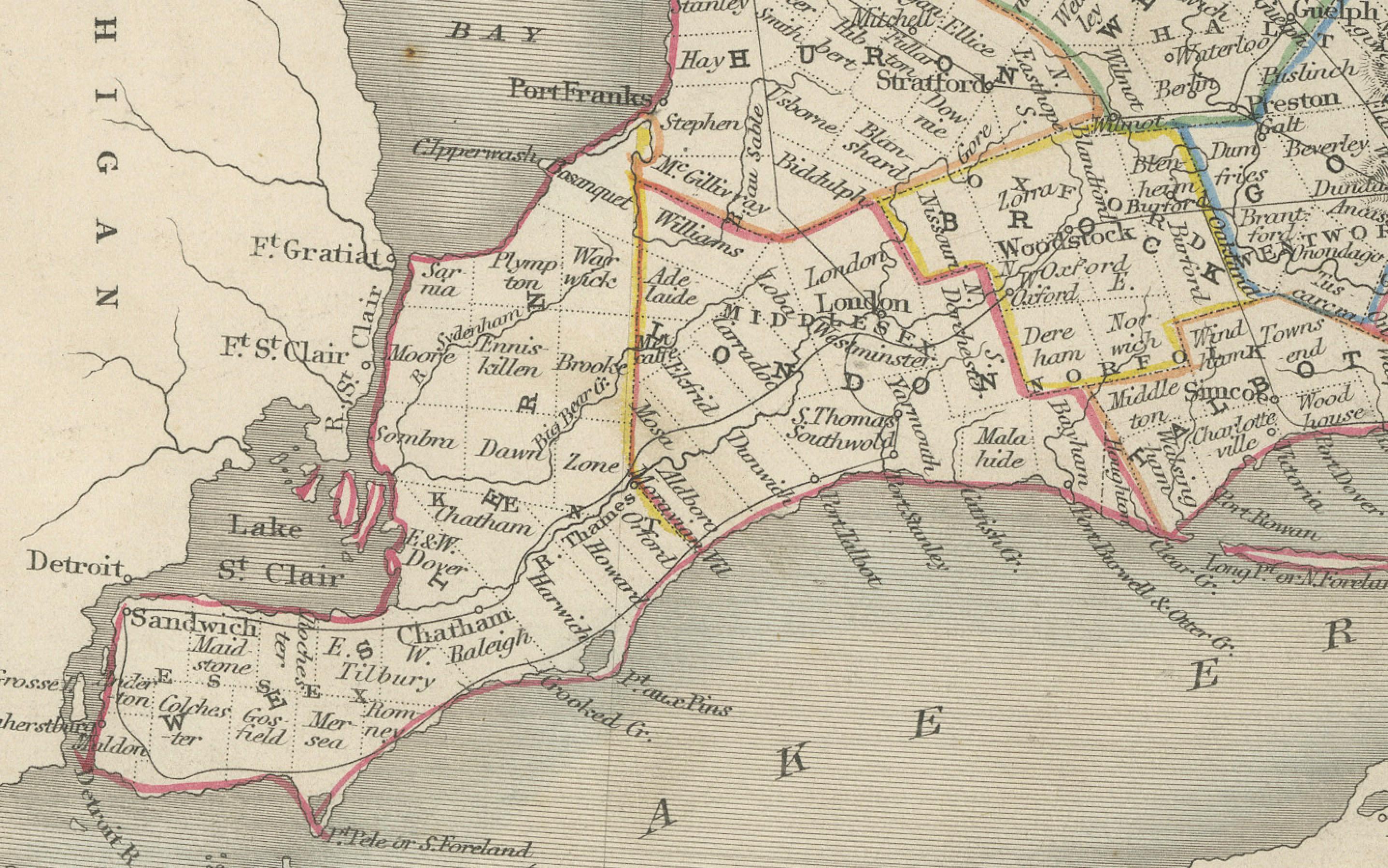
This detailed 19th-century map of West Canada, drawn and engraved by J. Rapkin and published by J & F Tallis, features finely hand-colored borders and intricate depictions of major settlements, roads, and waterways, including Lake Ontario and Lake Erie. The map highlights the regions of Southern Ontario during a period of significant development and growth.
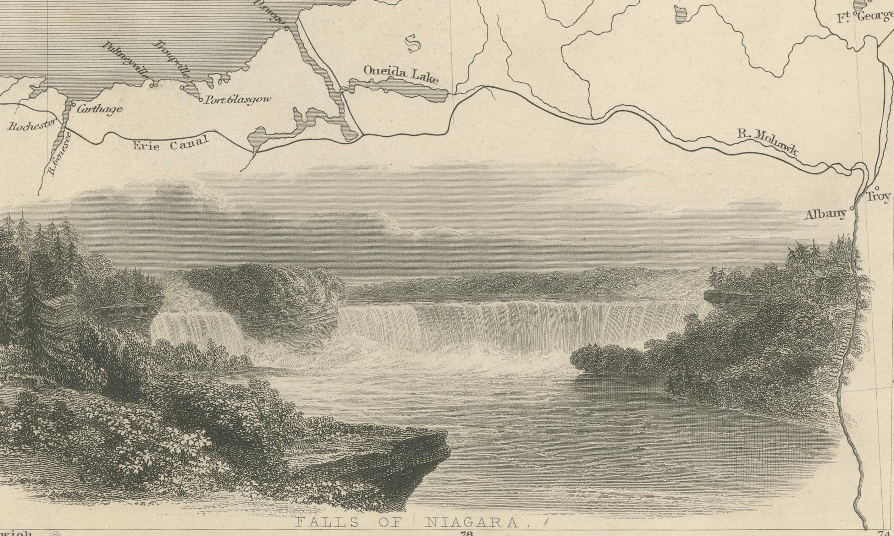
Surrounding the map are stunning vignettes illustrated by H. Warren and engraved by J. H. Rogers. These include a scenic view of Niagara Falls, a depiction of Indigenous peoples in traditional settings, and other natural and cultural elements that add depth and historical context to the map. The decorative border enhances its artistic appeal, making it not only a practical geographical reference of its time but also a work of art.
Published in the mid-19th century, this map provides a fascinating glimpse into the geography and culture of West Canada during the Victorian era, making it a valuable addition for collectors of antique maps or those interested in Canadian history.
Year of Publication: Circa 1850s
Condition: Good with vibrant hand-colored bordelines, clear engravings, and minimal age-related wear, except for the folding line that is a bit rough and net yet flattened.
Keywords: West Canada, antique map, 19th-century map, decorative map, J. Rapkin, J & F Tallis, hand-colored map, Victorian cartography, engraved map, Niagara Falls, Lake Ontario, Lake Erie, Southern Ontario, Indigenous peoples, Canadian history, historical geography, cartographic art, H. Warren, J. H. Rogers, vintage Canada map, illustrated cartography, Canadian landmarks, Victorian-era Canada, Ontario settlements, cultural vignettes, exploration and discovery, decorative border, antique Canadian prints, early Canada maps.