About this sheet
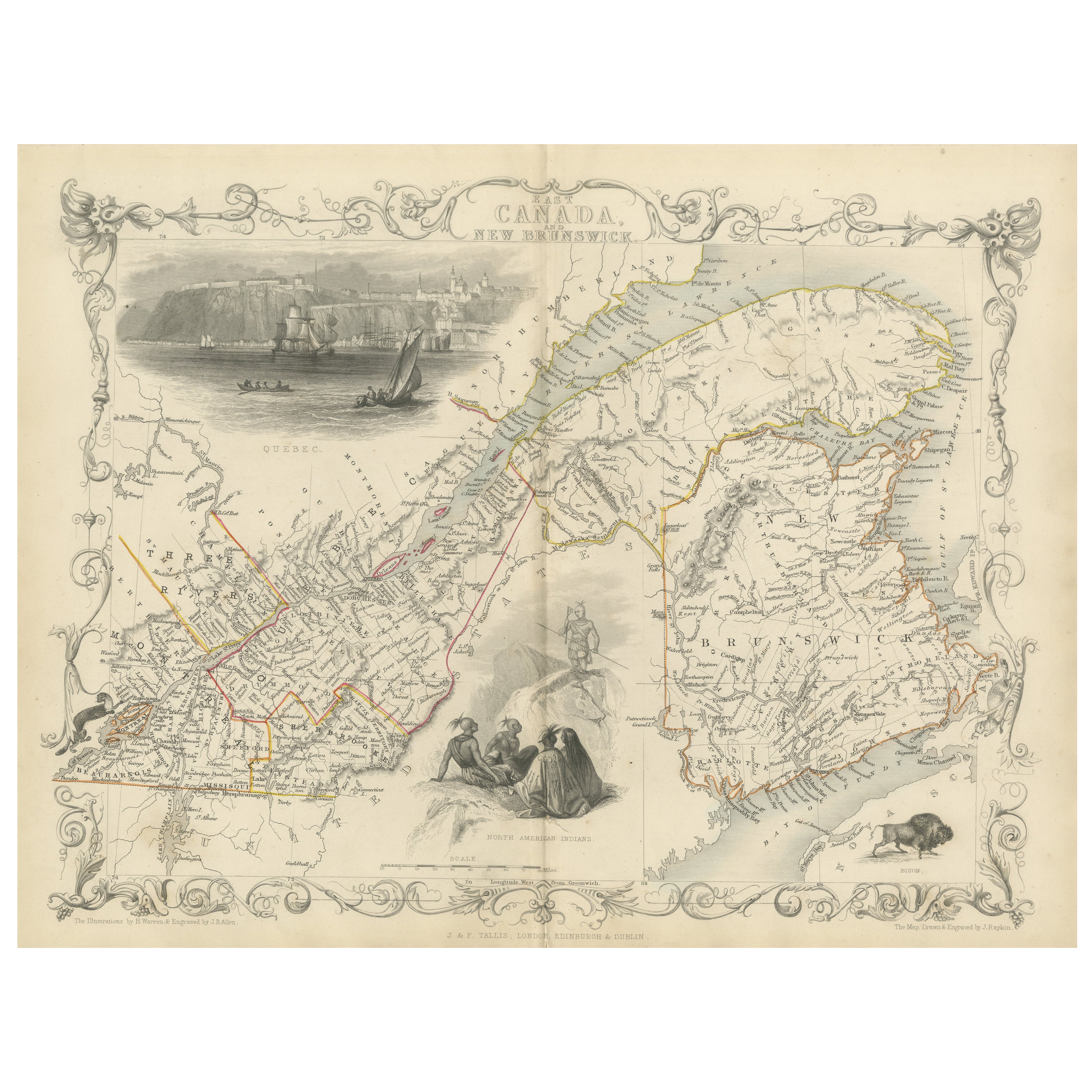
Decorative 1850s Map of Eastern Canada and New Brunswick with Historic Vignettes
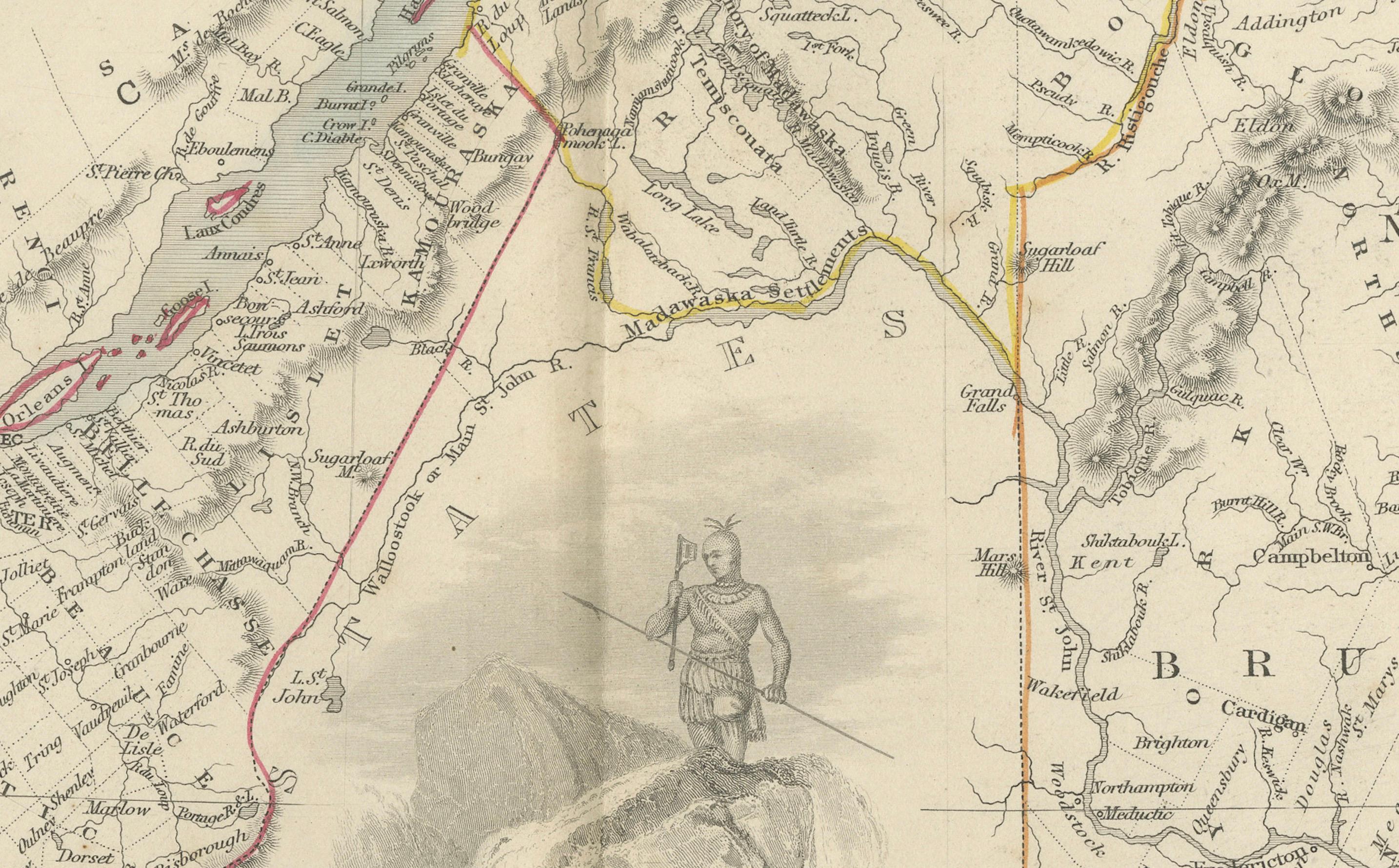
This beautifully crafted 19th-century map of Eastern Canada and New Brunswick, drawn and engraved by J. Rapkin and published by J & F Tallis, showcases the intricate geography of the region during the Victorian era. Highlighted with hand-colored borders, the map delineates towns, cities, and significant waterways, including the St. Lawrence River and the Gulf of St. Lawrence.
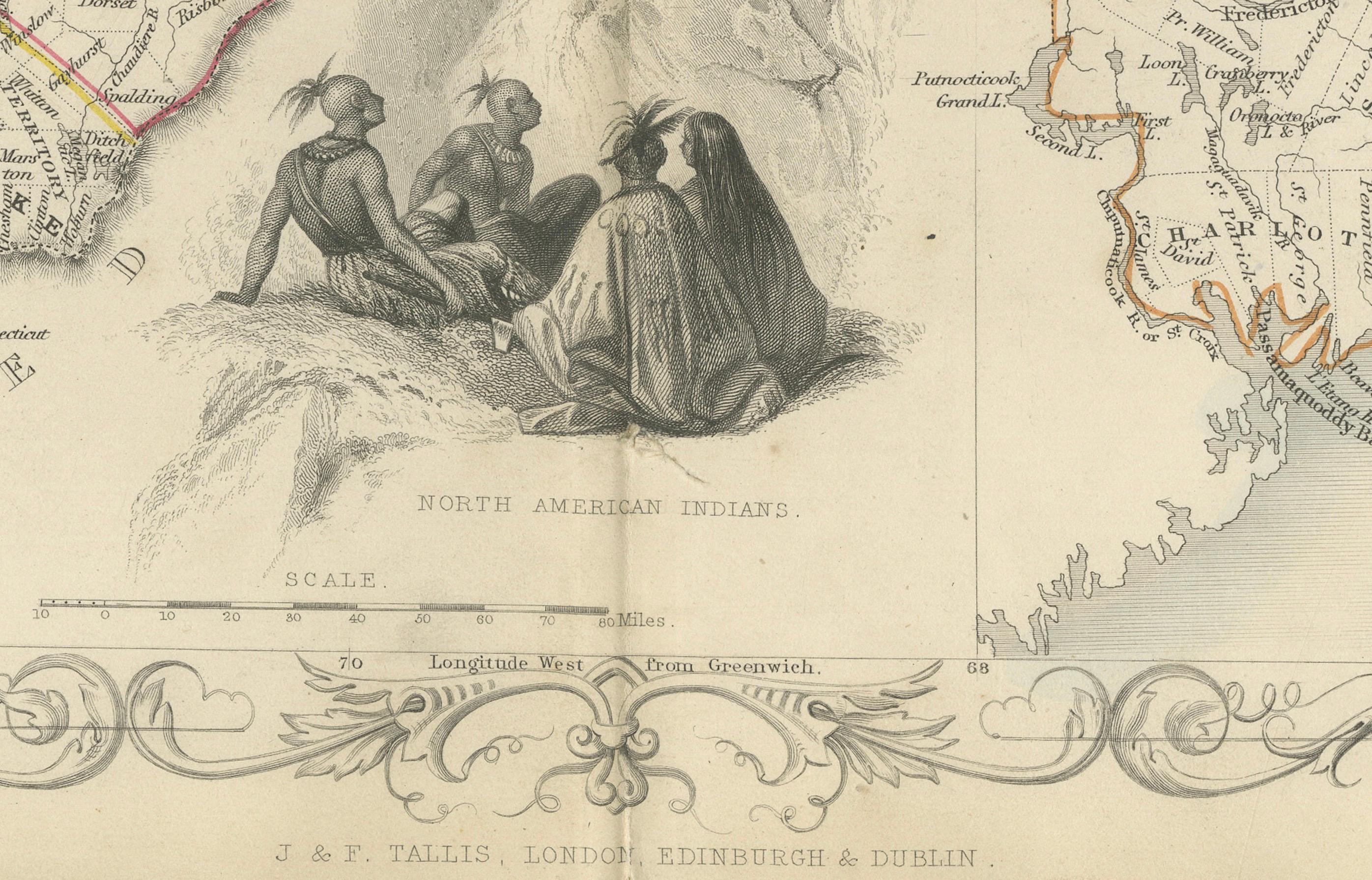
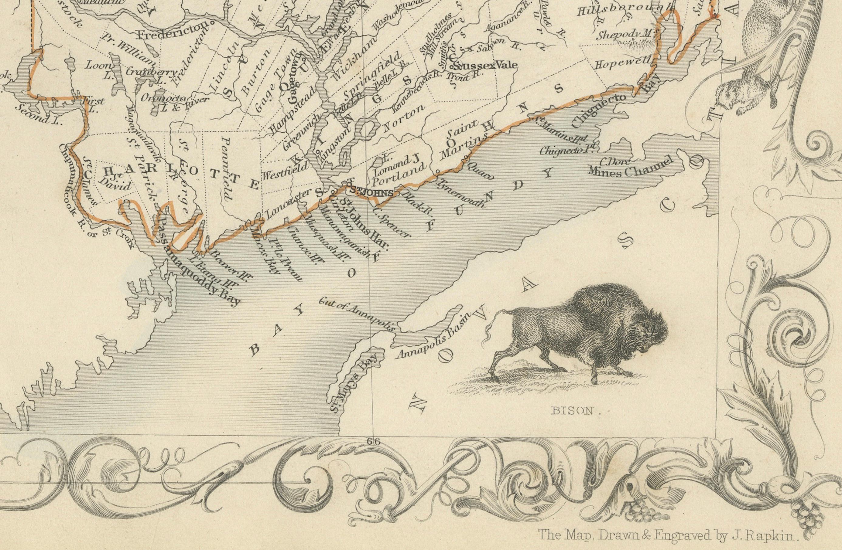
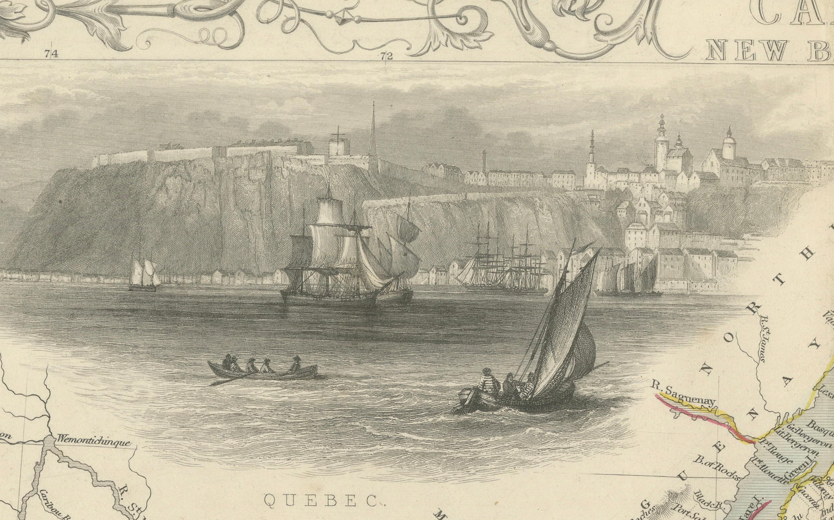
The map is enriched with stunning illustrations by H. Warren, engraved by J. H. Rogers. These vignettes include a dramatic view of Quebec City with sailing ships in the foreground, a scene of North American Indigenous peoples, and a depiction of a bison in its natural habitat. The ornate border further enhances the map's aesthetic appeal, reflecting the artistic style of Victorian cartography.
Produced during a period of exploration and expansion, this map provides a fascinating historical snapshot of Eastern Canada and New Brunswick, making it a valuable piece for collectors of antique maps or enthusiasts of Canadian history.
Circa 1850s
Condition: Very goo with vibrant hand-coloring, sharp engraving details, and minimal signs of aging. Perfect for display or collection.
**Keywords:** Eastern Canada, New Brunswick, antique map, Victorian cartography, 19th-century map, J. Rapkin, J & F Tallis, Quebec, St. Lawrence River, Gulf of St. Lawrence, hand-colored map, historical geography, Indigenous peoples, bison, illustrated cartography, Victorian-era maps, Canadian history, decorative map, antique prints.