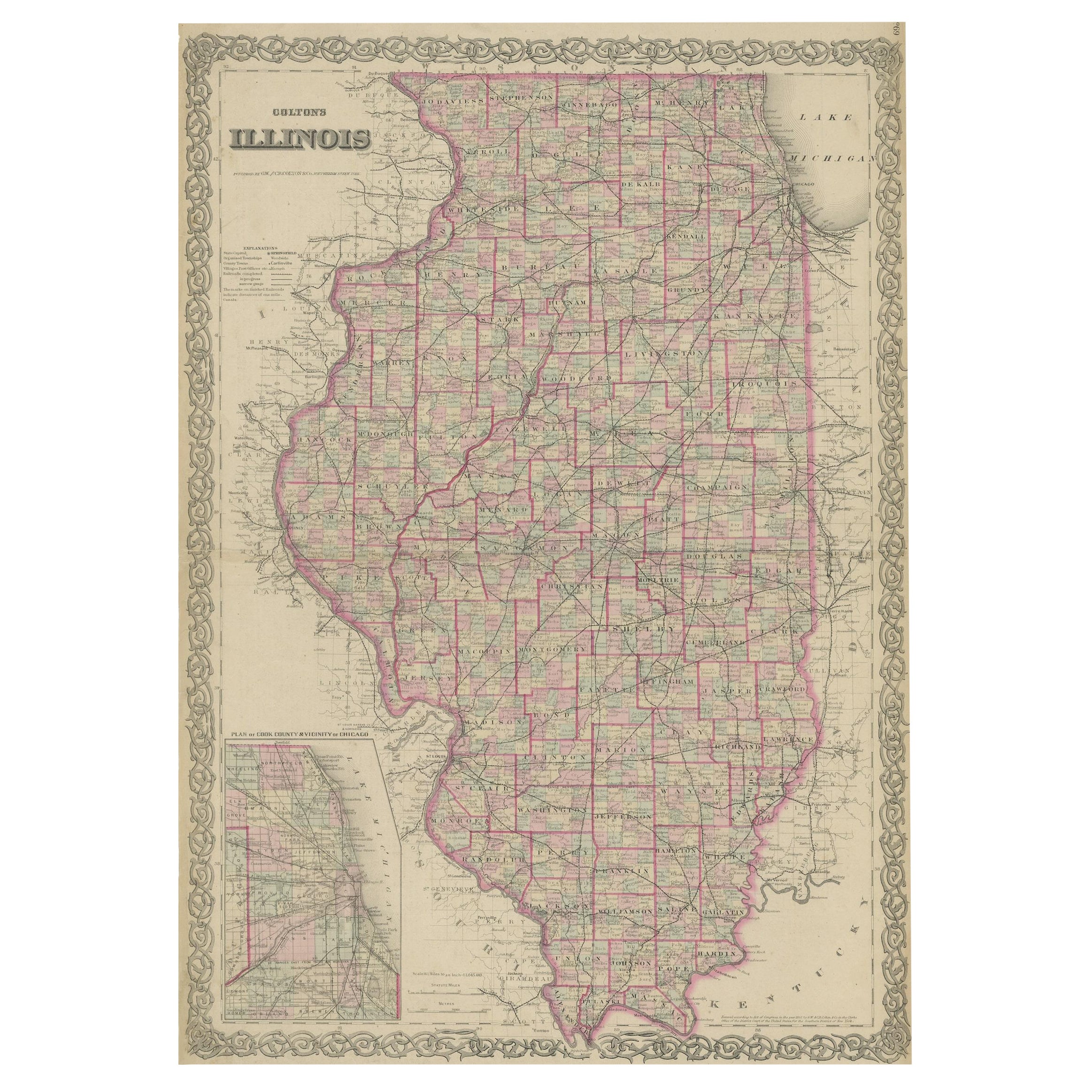
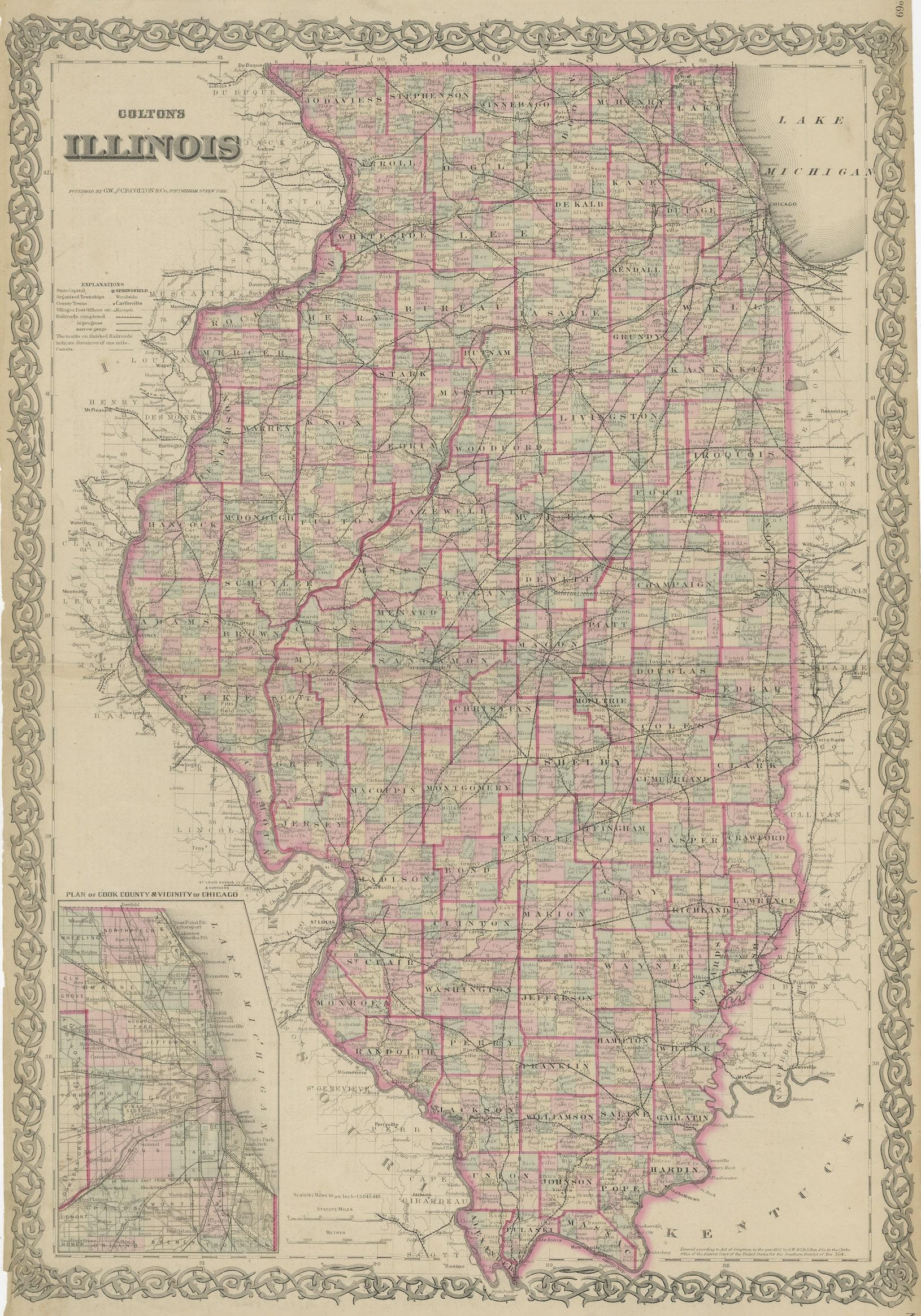
Colton's Map of Illinois, with an Inset of Chicago
€ 240
One of a kind: this is the sheet in the photographs. Ships from Langweer, the Netherlands.
Sheet size
68 × 44.5 cm (26.8 × 17.5 in)
Condition
Fair
Reference
BG-13191-4
Condition
Repaired. Wear consistent with age and use. Strong toning. Original folding line. Shows wear and soiling. English text on verso. Two repairs on small tears in bottom margin and a repaired split on folding line. Please study images carefully.
About this sheet
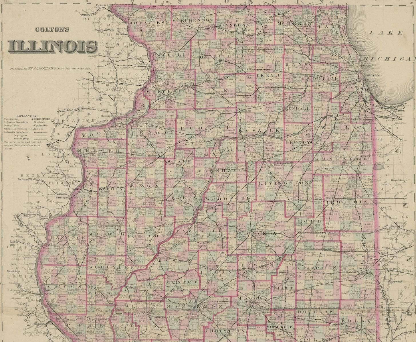
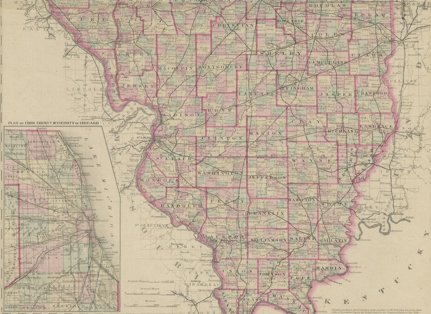
Antique map titled 'Colton's Illinois'. Antique map of Illinois, a state in the Midwestern United States. With an inset map of of Cook County & Vicinity of Chicago. Published 1867.
Joseph Hutchins Colton (July 5, 1800 – July 29, 1893), known professionally as J.H. Colton, founded an American mapmaking company which was an international leader in the map publishing industry between 1831 and 1890.
J.H. Colton Company maps were printed using engraved steel plates, which produced higher quality prints than maps made with less costly wax engravings. They were often individually hand water-colored and were recognized for their decorative borders.