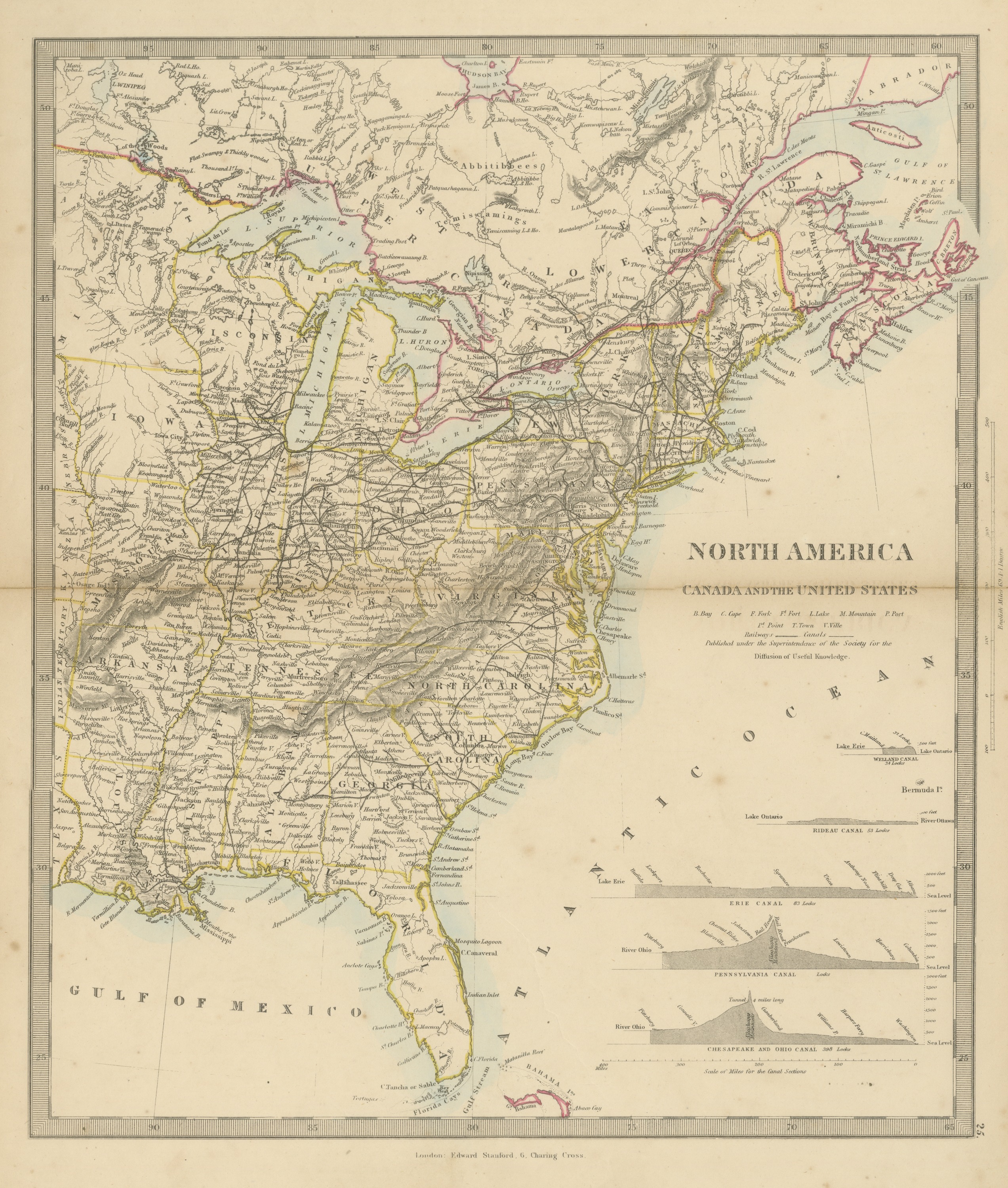
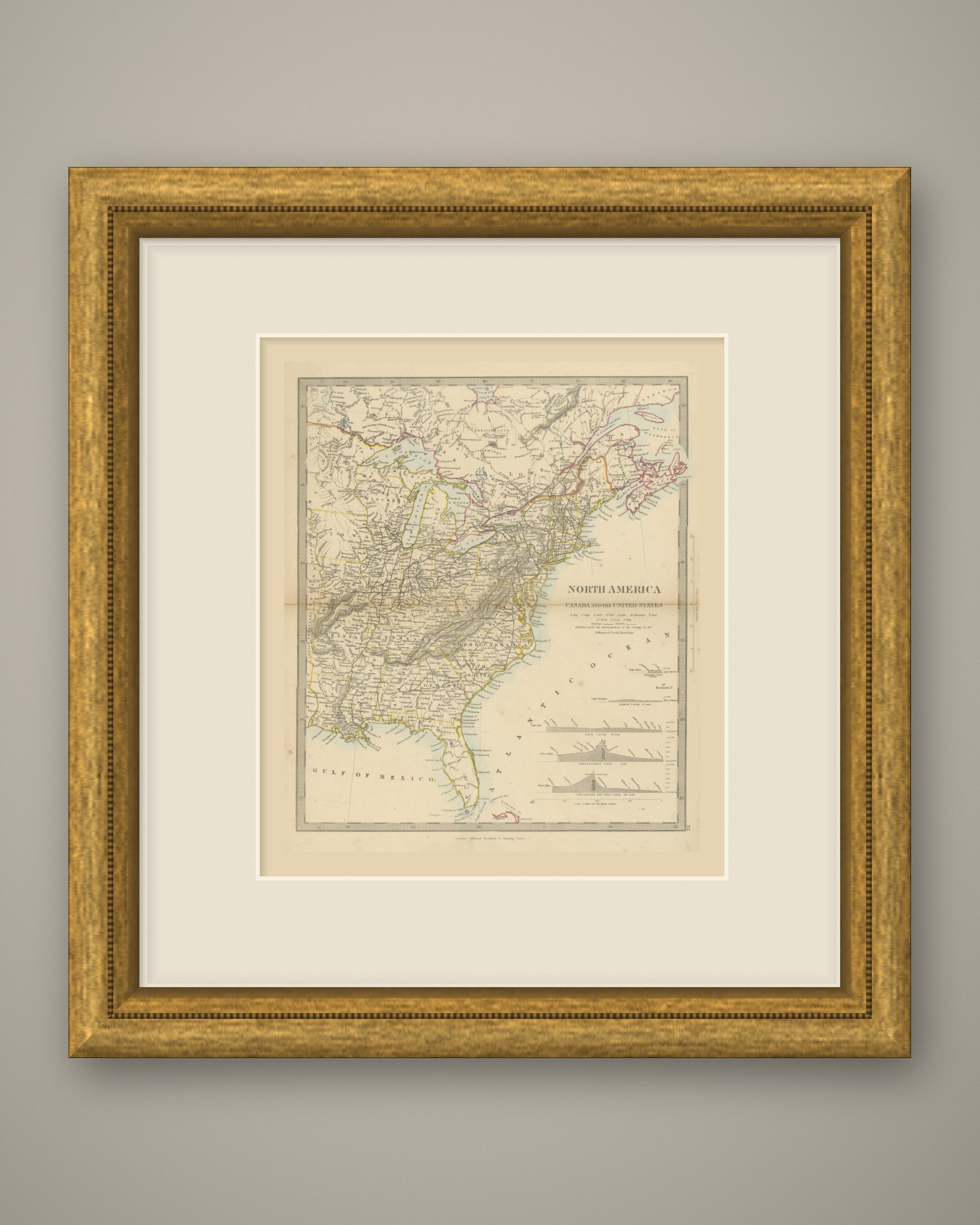
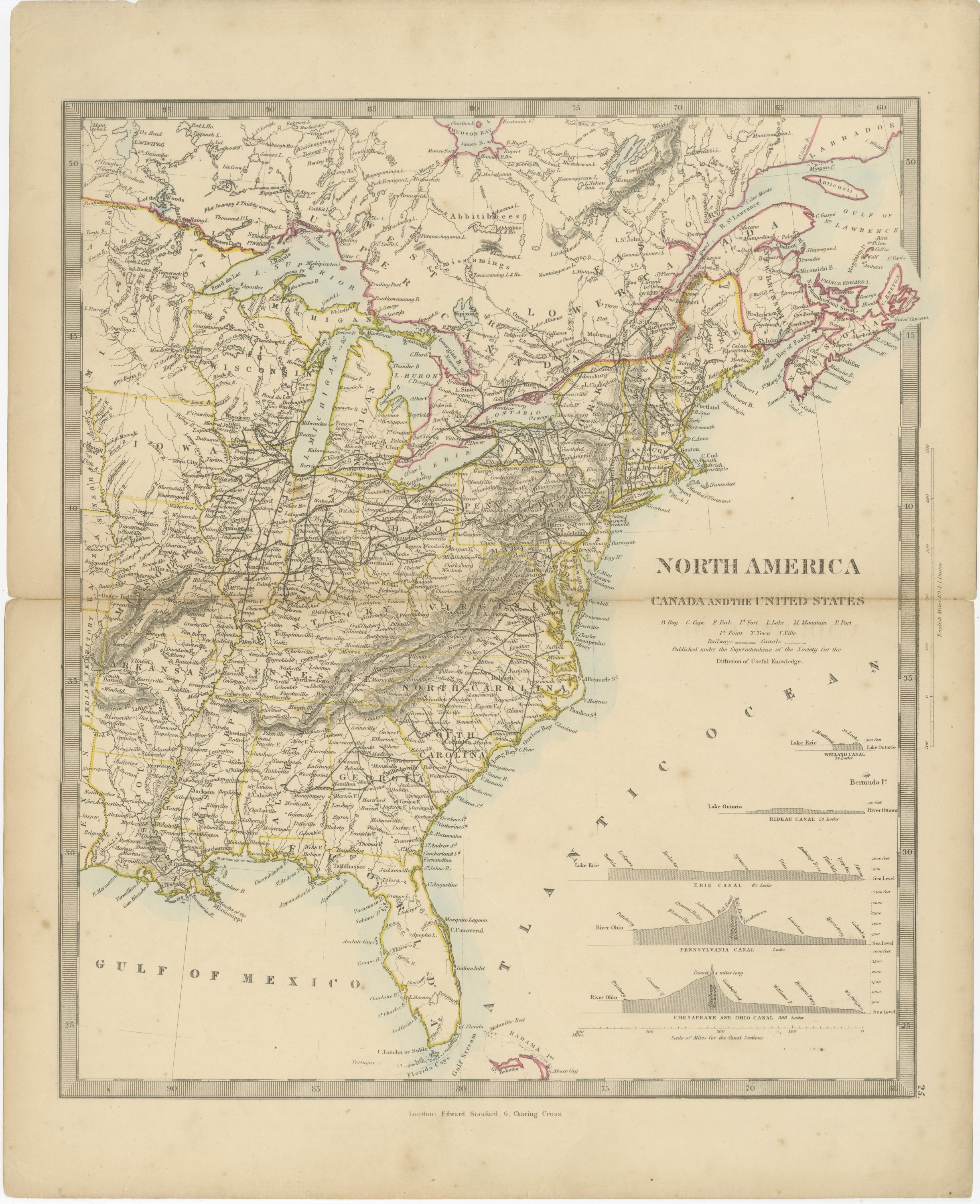
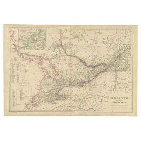
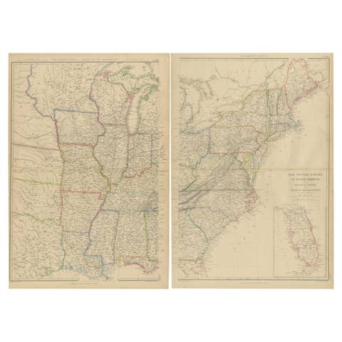
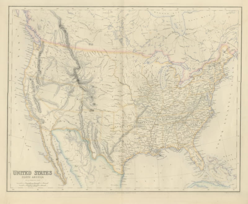
Antique Map of Canada and the United States with Canal Profiles, 1858
€ 290
Original antique · The actual sheet photographed · Certificate of authenticity on request · Sold unframed · Worldwide shipping from € 15 (rates)
Date
1858
Mapmaker / artist
Society for the Diffusion of Useful Knowledge
Publisher
Edward Stanford, London
Technique
Steel engraving
Coloring
Hand colored
Condition
Good
Reference
BG-14227-1-25
What the condition grades mean
Excellent
Bright and clean, with no faults worth mentioning.
Very good
Only light signs of age, such as faint toning.
Good
Normal signs of age for a sheet of this period: toning, some foxing, small marks or neat old repairs.
Fair
Clear faults such as staining, tears or repairs, priced to match.
Every fault we see is written in the condition note, and the whole sheet is shown uncropped in the photos.
Condition
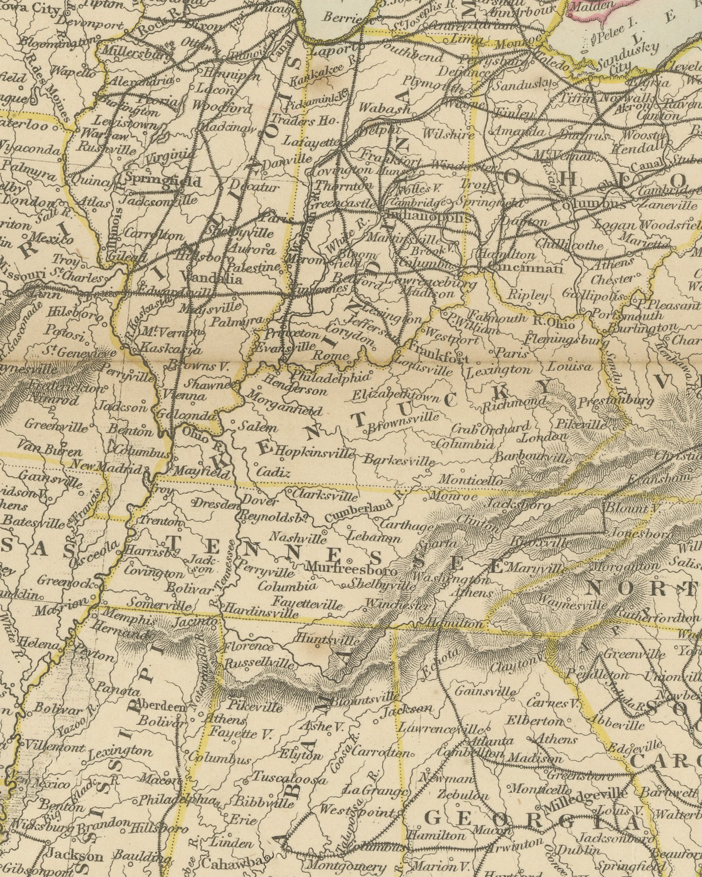
Light handling wear to the top left and bottom right corners; minor nicks along the left edge. Light, uneven toning, slightly darker towards the edges. A few small foxing spots in the margin. A few small light flecks in the printed area. A center fold, as issued.
About this sheet
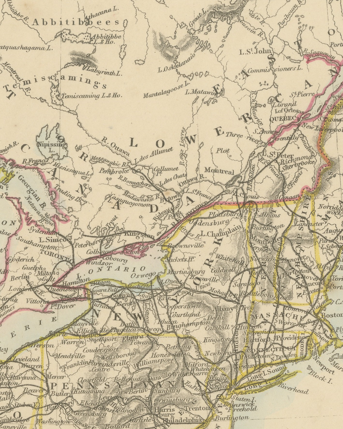
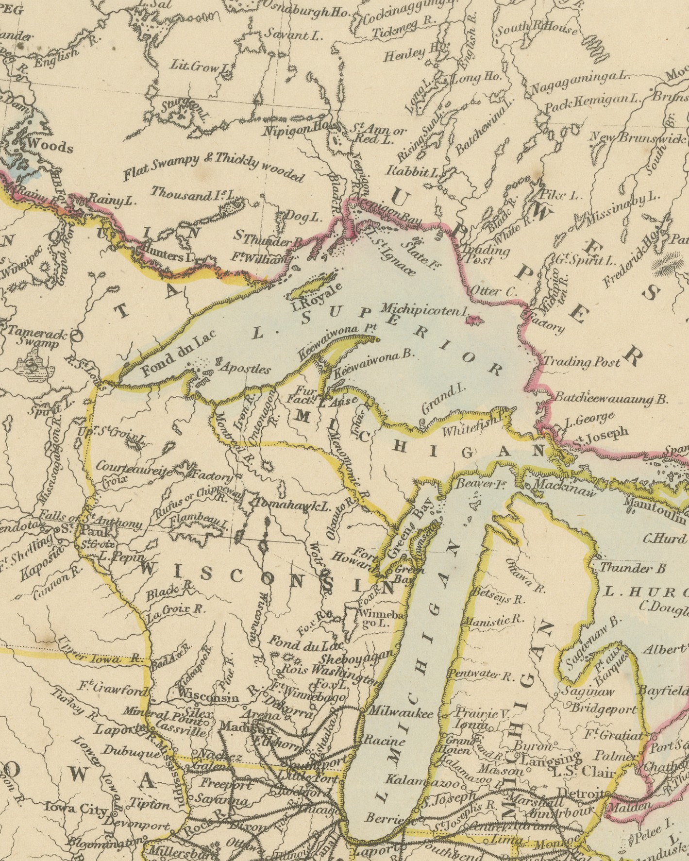
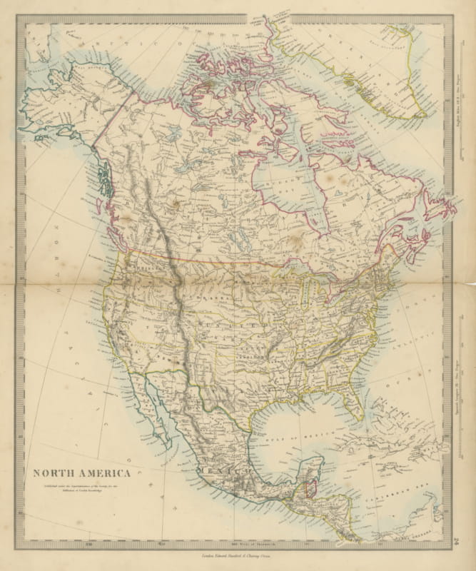
Original antique map of eastern North America, a steel engraving colored by hand, with the lettered title "NORTH AMERICA" and the subtitle "CANADA AND THE UNITED STATES". The map covers Upper and Lower Canada, New Brunswick, Nova Scotia and the Gulf of St. Lawrence in the north and the United States from Iowa, Missouri and Arkansas east to the Atlantic and south to Florida and the Gulf of Mexico, with the Bahama Islands and Bermuda. Railways cross the eastern and midwestern states. Boundaries are colored in outline, pink for British territory and yellow for the states, and the lakes and coasts carry a blue wash.
Under the title is a key of abbreviations, a legend for "Railways" and "Canals", and "Published under the Superintendence of the Society for the Diffusion of Useful Knowledge." In the Atlantic are five canal profiles, each with its number of locks as lettered: "WELLAND CANAL 34 Locks", "RIDEAU CANAL 53 Locks", "ERIE CANAL 83 Locks", "PENNSYLVANIA CANAL" (with "Rail Road" lettered over the "Alleghany Mountains") and "CHESAPEAKE AND OHIO CANAL 398 Locks" and a "Scale of Miles for the Canal Sections". The right margin carries "English Miles 69.1 = 1 Degree". Below the border is the imprint "London: Edward Stanford, 6, Charing Cross.", and the plate number "25." stands in the right margin.
The Harrow Atlas of Modern Geography was published in London by Edward Stanford in 1858 and sold at Harrow by Crossley and Clarke, booksellers to Harrow School. Its maps were selected from those of the Society for the Diffusion of Useful Knowledge, founded in London in 1826, which issued its maps in parts from 1829 and was wound up in 1848; Stanford later issued them under his own imprint, as this sheet shows. The sheet shows Canada divided into Upper and Lower Canada, and on the Pennsylvania profile the summit of the Alleghany Mountains is crossed by rail road between Johnstown and Frankstown.
Condition: Light handling wear to the top left and bottom right corners; minor nicks along the left edge. Light, uneven toning, slightly darker towards the edges. A few small foxing spots in the margin. A few small light flecks in the printed area. A center fold, as issued.
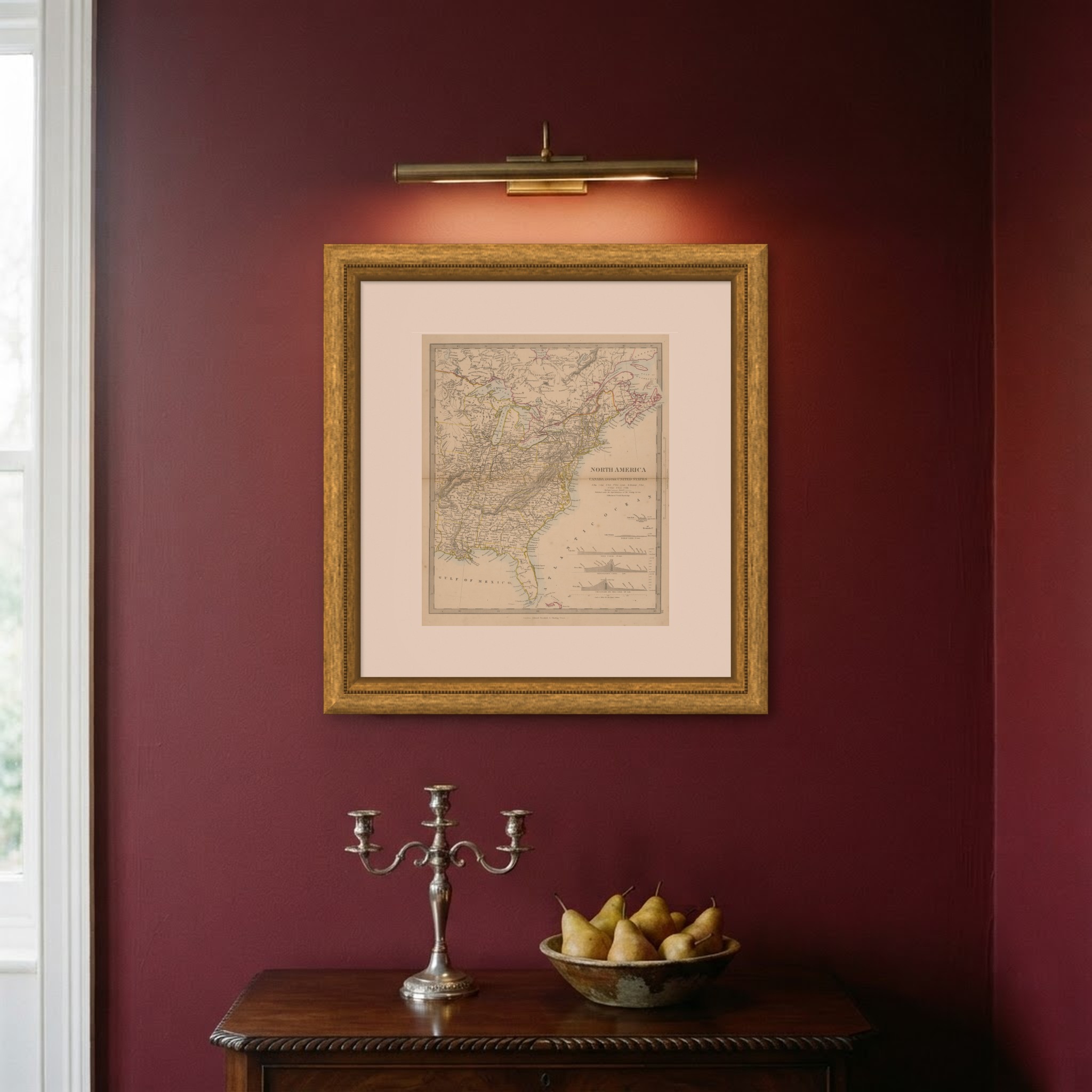
This is an original antique map, not a modern reproduction. This item is sold unframed. Any framed or interior images are shown for presentation and inspiration only, unless the listing explicitly states that the item is sold framed.