Maps & PrintsBartele Gallery · Langweer
Home / Antique Maps / America / North America

North America · 19th century

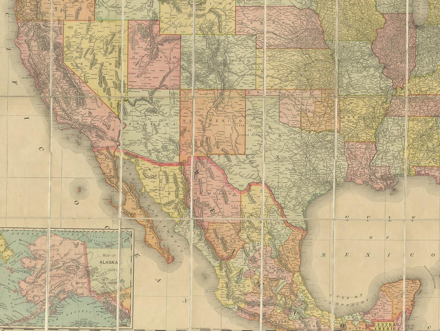
Antique Railroad Map of the United States by Rand, McNally & Co, 1900

€ 2 500

One of a kind: this is the sheet in the photographs. Ships from Langweer, the Netherlands.

Date
1900
Technique
Paper
Sheet size
78.5 × 111.5 cm (30.9 × 43.9 in)
Condition
Good
Reference
BG-12836

Condition

General age-related toning. Yellow card endpapers, lacking slipcase. Minor wear. Please study images carefully.

About this sheet

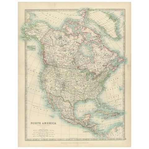
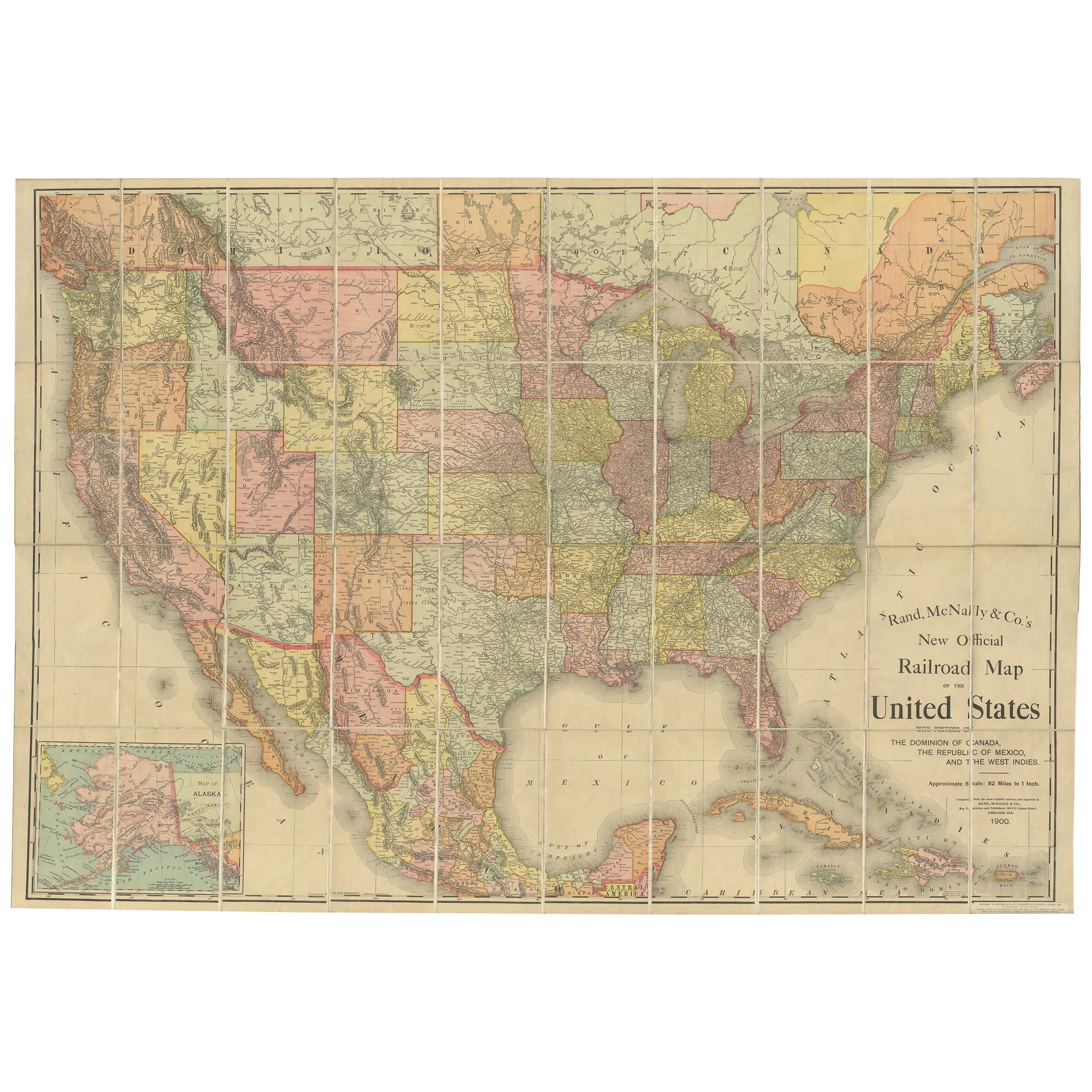
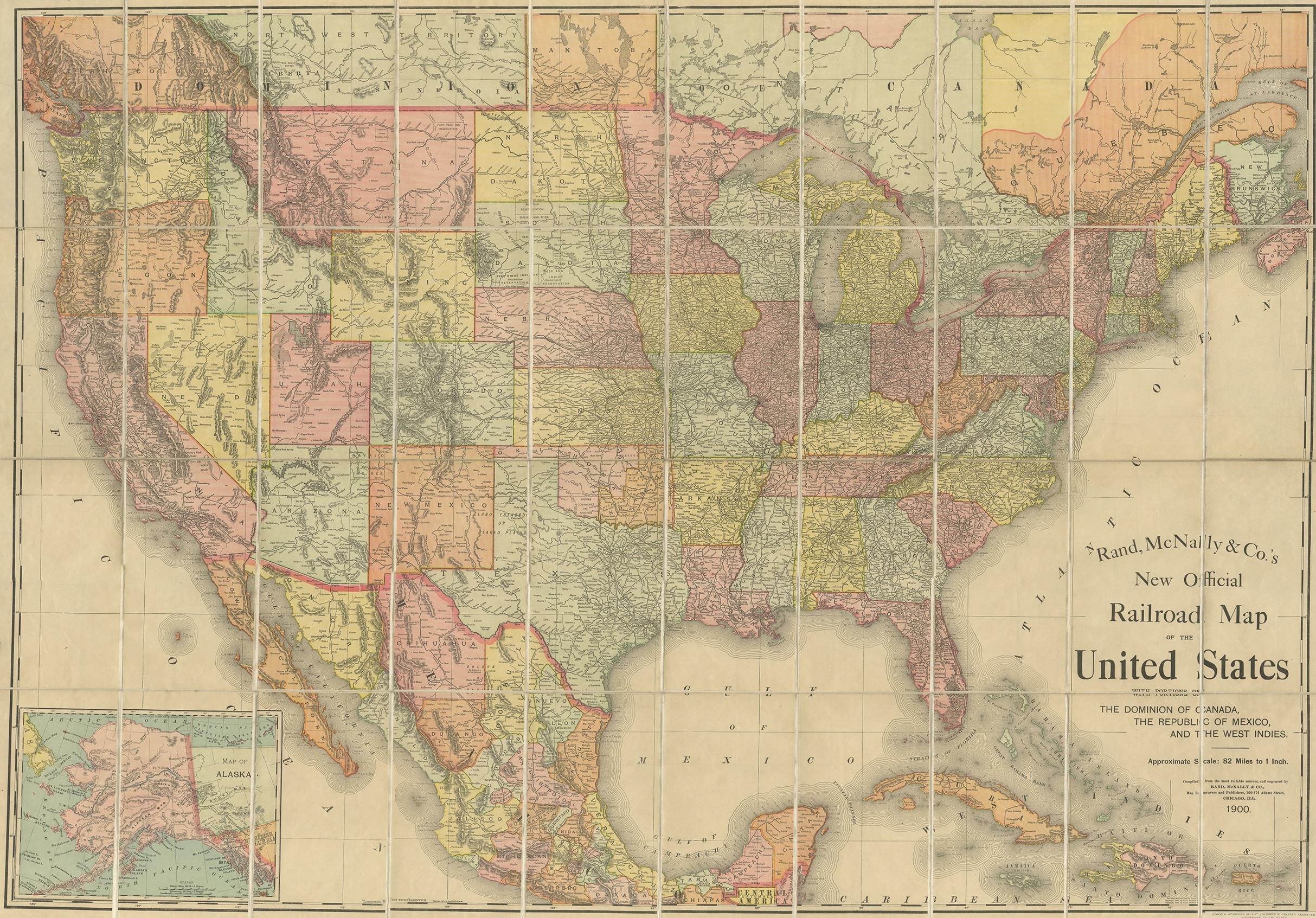
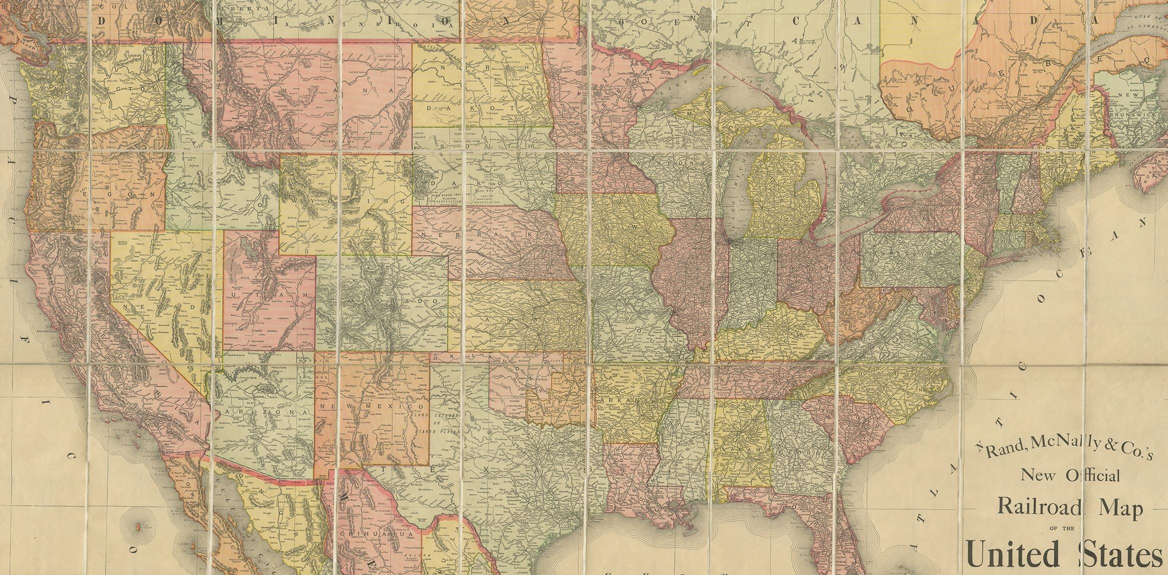
Antique map titled 'Rand, McNally & Co's New Official Railroad map of the United States with portions of The Dominion of Canada, The Republic of Mexico and the West Indies'. Large railroad map of the United States, sectionalised and laid on linen. Map shows state boundaries for the United States, Mexico, the West Indies, and lower portion of Canada; major cities and towns, military posts, Native American reservations, and railroads; Oklahoma and "Indian Territory." Inset: "Map of Alaska." Published, 1900.

More from North America

Ask about this sheet

Antique Railroad Map of the United States by Rand, McNally & Co, 1900
1900 · Ref. BG-12836 · € 2 500
We reply by email, usually within one working day.