

Maps & PrintsBartele Gallery · Langweer
Home / Antique Maps / America / North America

North America

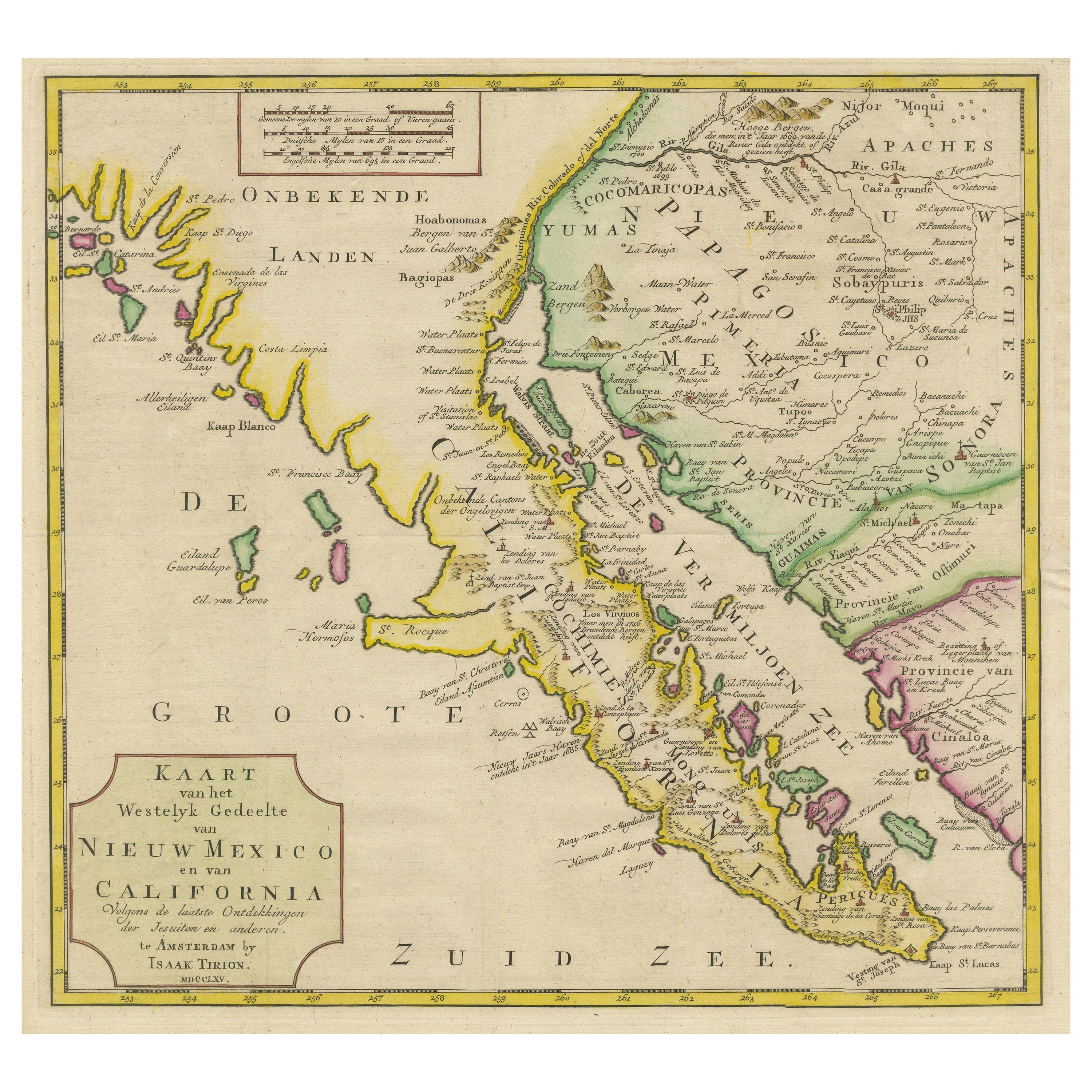
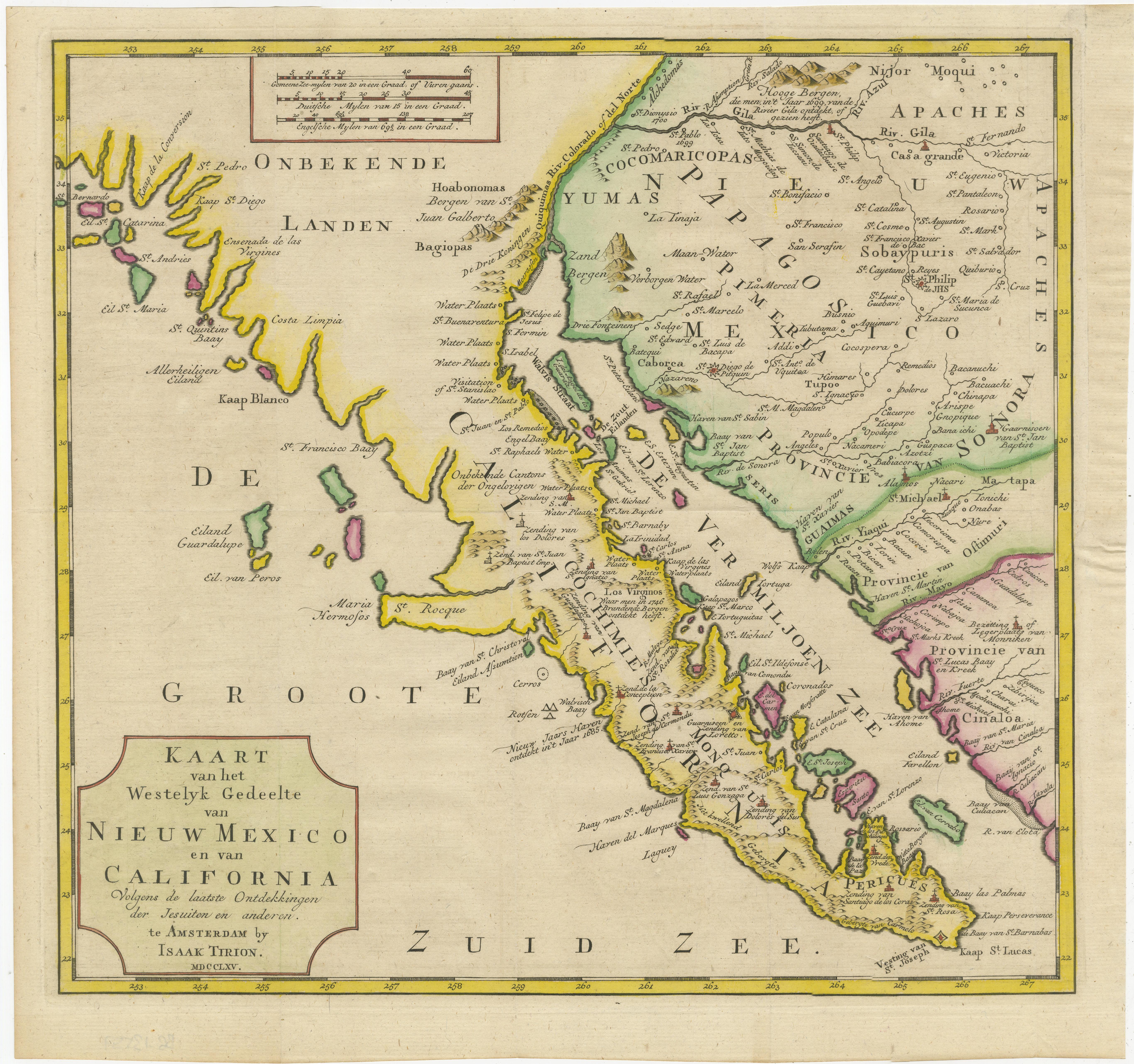
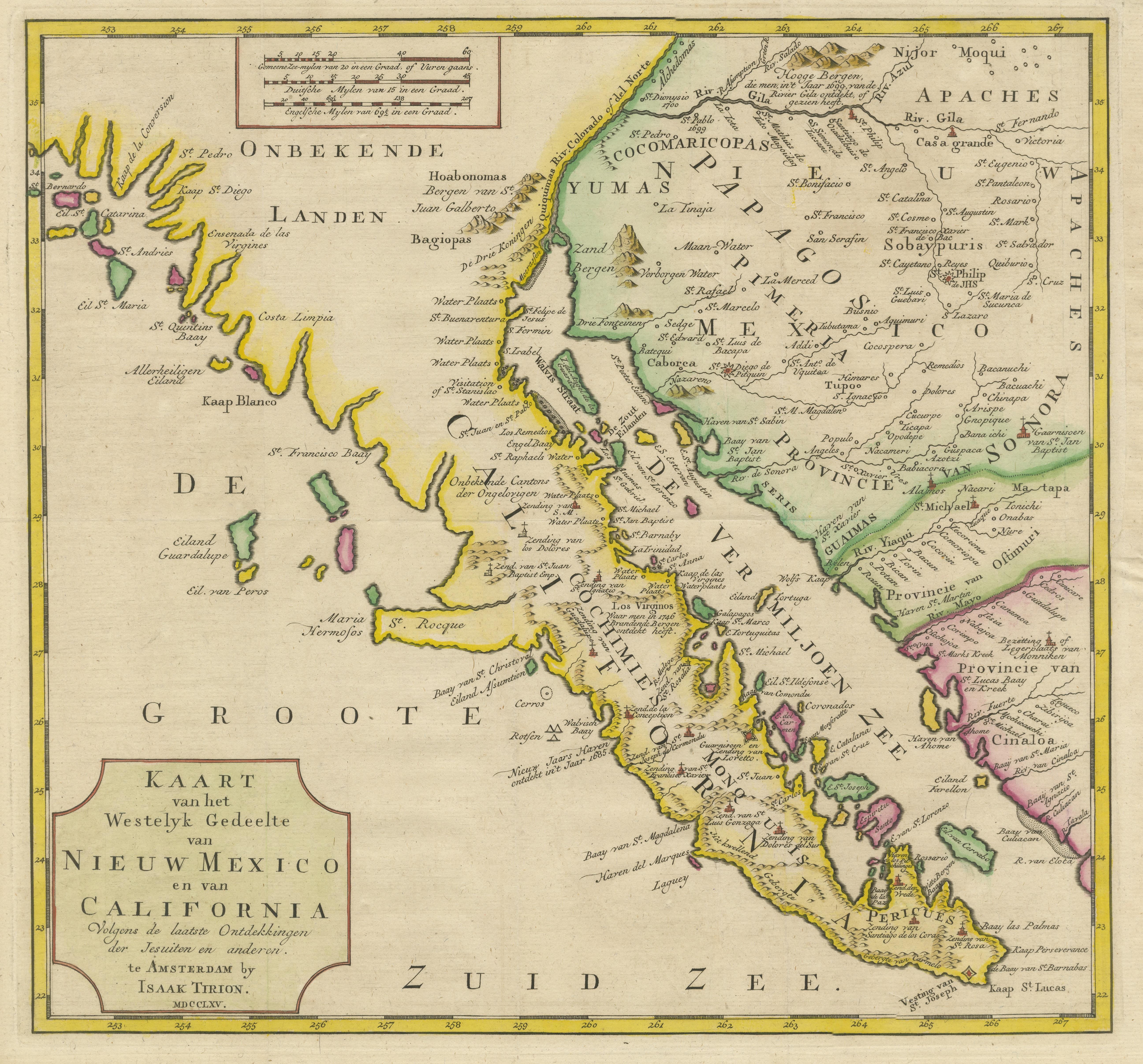
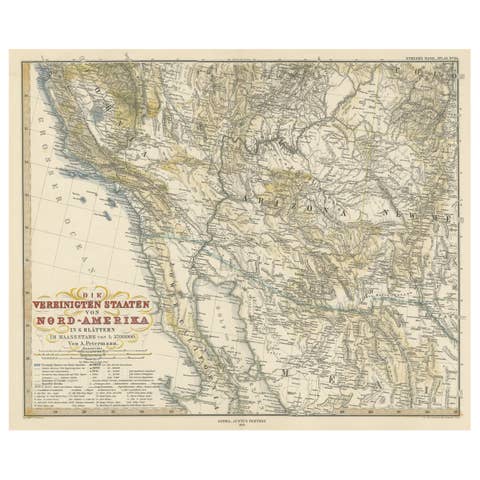
Antique Map of Baja California and parts of Alta California, Arizona and Sonora

€ 990

One of a kind: this is the sheet in the photographs. Ships from Langweer, the Netherlands.

Sheet size
35.8 × 38 cm (14.1 × 15.0 in)
Condition
Good
Reference
BG-13557

Condition

Replacements made: Right margin partly extended. General age-related toning. Original folding lines. Right margin partly extended. Minor wear and soiling, blank verso. Please study image carefully.
About this sheet

Antique map titled 'Kaart van het Westelyk Gedeelte van Nieuw Mexico en van California'. Beautiful map of Baja California and parts of Alta California, Arizona and Sonora. Isaac Tirion's map of Baja California is one of the best mid-18th century maps of Southern California, Baja California and parts of Arizona and Sonora. Issued 4 years prior to the establishment of the first Spanish Mission in Alta California (San Diego) and based in large part on the work of Ferdinando Consag, the map provides one of the earliest large format attempts to map this still mysterious and unsettled region north of Baja California, along with the then Jesuit regions of Baja California and Sonora. The map is one of the last to focus on the region before the expulsion of the Jesuits in 1768.

Published by I. Tirion, 1765.

More from North America

Ask about this sheet

Antique Map of Baja California and parts of Alta California, Arizona and Sonora
Ref. BG-13557 · € 990
We reply by email, usually within one working day.