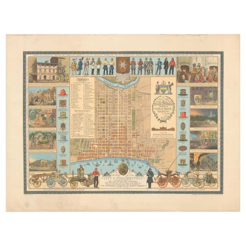
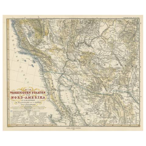
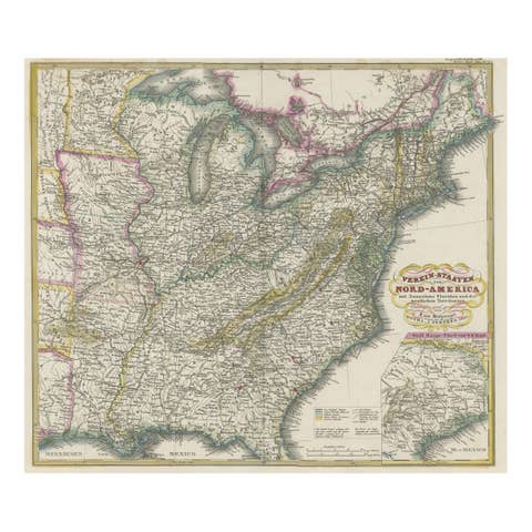
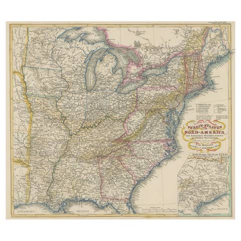
One of a kind: this is the sheet in the photographs. Ships from Langweer, the Netherlands.
Sheet size
27 × 21 cm (10.6 × 8.3 in)
Condition
Good
Reference
BG-13321-14
Condition
Wear consistent with age and use. General age-related toning, minor wear. Blank verso. Please study image carefully.
About this sheet
Antique map titled 'Alabama'. Original antique map of Alabama, United States. This print originates from 'Encyclopaedia Britannica', Ninth Edition. Published 1875.
The Encyclopædia Britannica has been published continuously since 1768, appearing in fifteen official editions. Several editions have been amended with multi-volume "supplements" (3rd, 5th/6th), consisted of previous editions with added supplements (10th, and 12th/13th) or gone drastic re-organizations (15th). In recent years, digital versions of the Britannica have been developed, both online and on optical media. Since the early 1930s, the Britannica has developed several "spin-off" products to leverage its reputation as a reliable reference work and educational tool. The Encyclopedia as known up to 2012 was incurring unsustainable losses and the print editions were ended, but it continues on the Internet.