About this sheet
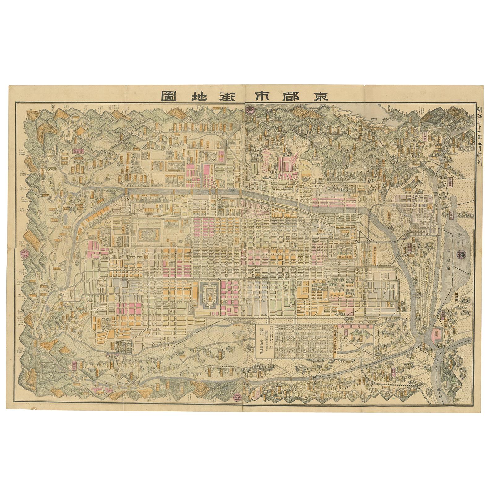
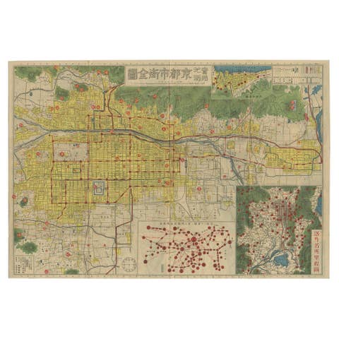
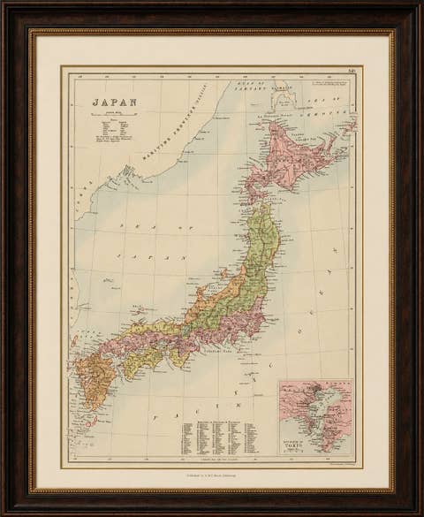
Old map of Kyoto, Japan. Published by Kobayashi, 1905.
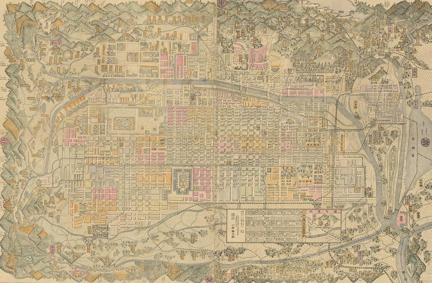
This is an old map of Kyoto, Japan, published by Kobayashi in 1905. The map showcases a detailed layout of Kyoto during the early 20th century. Here is a description and some interesting aspects of the map:
1. Layout and Design:
- The map is highly detailed, with a grid-like layout that represents the city’s streets, buildings, and key landmarks.
- It includes color-coding to distinguish different areas or types of buildings, with shades of pink, yellow, and orange prominent.
2. **Geographical Features**:
- The map is bordered by mountainous regions, emphasizing Kyoto's location in a valley.
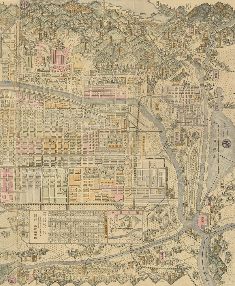
- Several rivers and waterways are depicted, including the Kamo River running through the city.
3. **Landmarks and Structures**:
- Major temples, shrines, and significant cultural landmarks are marked and often highlighted with specific illustrations or symbols.
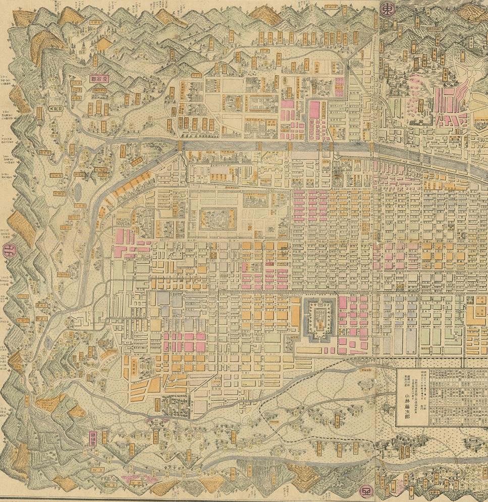
- The Imperial Palace (Kyoto Gosho) is centrally located, indicating its importance.
4. Surrounding Areas:
- The outskirts of the map depict rural and forested areas, contrasting with the densely built-up city center.
5. Text and Labels:
- Japanese characters are used throughout the map to label districts, streets, and landmarks.
- The title of the map, which appears at the top, translates to "Map of Kyoto City".
### Interesting Aspects
1. Historical Context:
- This map provides a snapshot of Kyoto as it was in 1905, a period when Japan was modernizing rapidly after the Meiji Restoration.
- It reflects the blend of traditional and modern influences in the city at that time.
2. Cartographic Style:
- The map is hand-drawn with meticulous detail, characteristic of early 20th-century Japanese cartography.
- The artistic elements, such as the depiction of mountains and temples, highlight the aesthetic values of the period.
3. Cultural Significance:
- Kyoto is known for its historical and cultural heritage, and this map emphasizes many of the traditional sites that are still significant today.
- It serves as a historical document, showing the urban layout before modern developments altered the cityscape.
### About the Maker - Kobayashi
- Kobayashi was a common name in Japan, and without additional information, it is challenging to pinpoint the exact individual or publisher.
- The Kobayashi who created this map was likely a skilled cartographer or part of a publishing house specializing in maps and guides.
- During the early 20th century, many Japanese publishers produced maps for both local use and as guides for increasing numbers of travelers and scholars visiting historical cities like Kyoto.
This map is a valuable artifact for historians, geographers, and anyone interested in the evolution of Kyoto’s urban landscape and cultural heritage.