Maps & PrintsBartele Gallery · Langweer
Home / Antique Maps / Asia / East Asia / Japan

Japan · 18th century

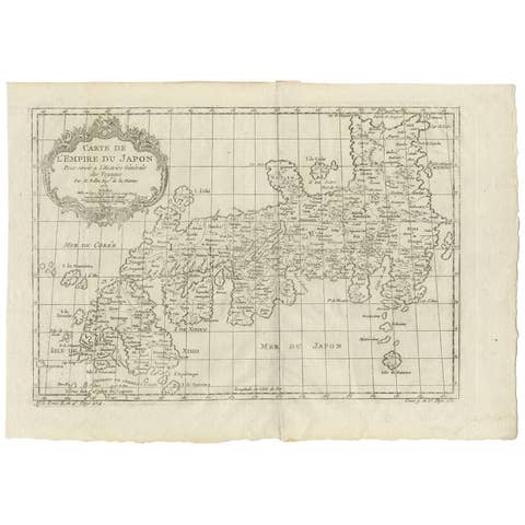
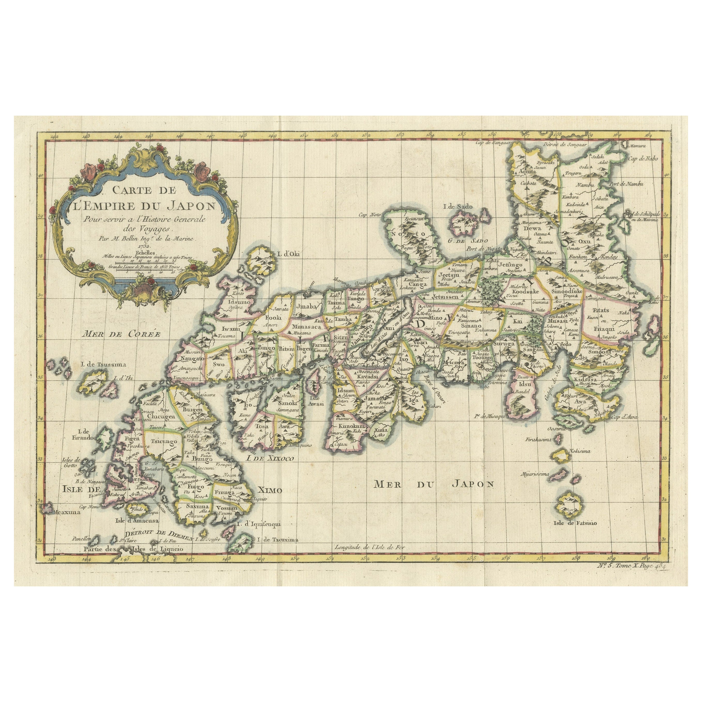
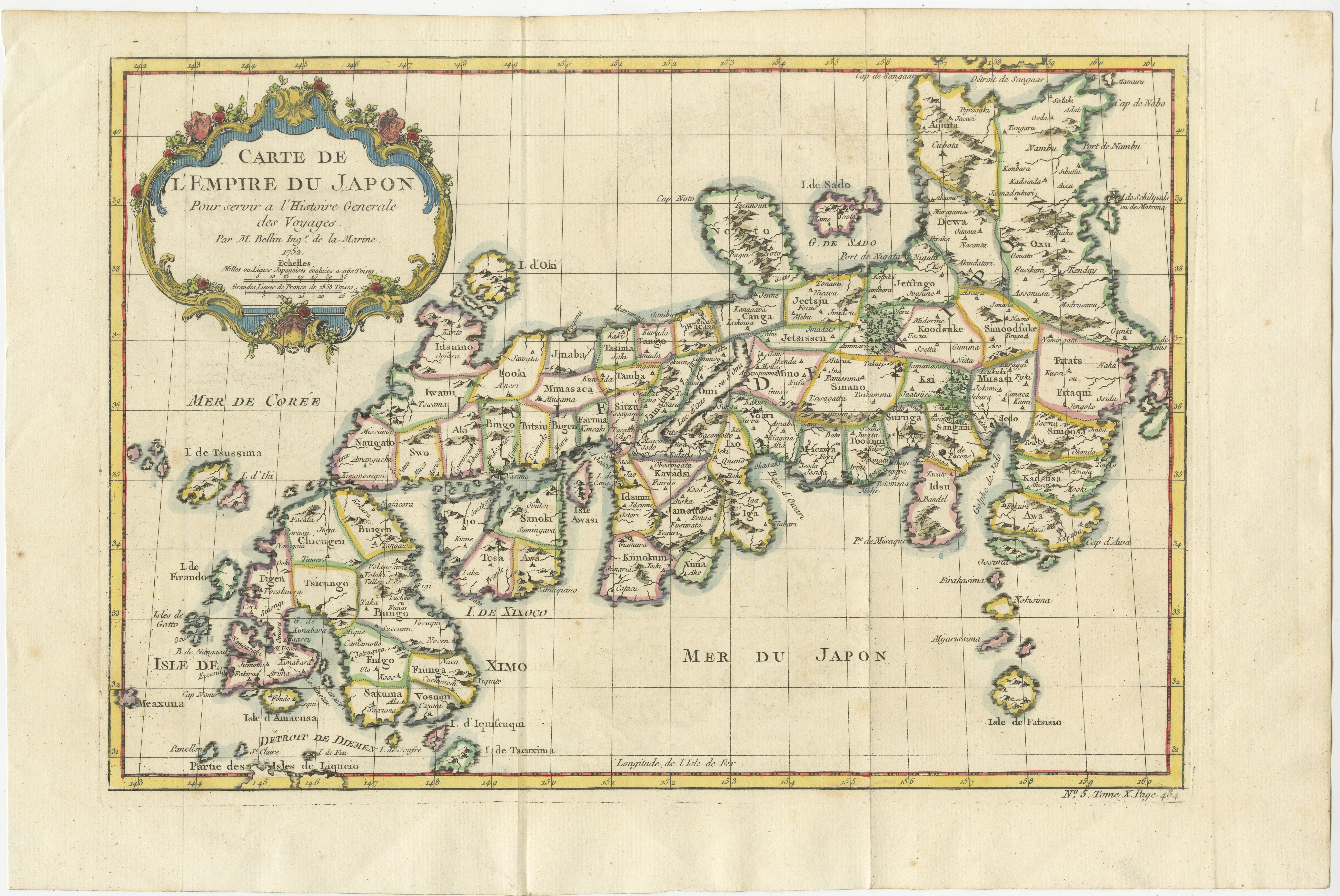
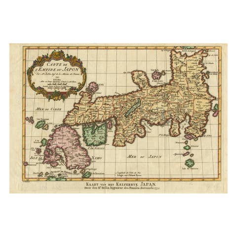
Attractive Hand-Tinted Antique Map of Japan, Published in 1752

€ 560

One of a kind: this is the sheet in the photographs. Ships from Langweer, the Netherlands.

Date
1752
Sheet size
25.5 × 38 cm (10.0 × 15.0 in)
Reference
BGSH-023

Condition

Very good, folds as published. Minor creases.
About this sheet

Nice decorative hand tinted map of Japan with the title (in French): Carte de L'Empire du Japon Bellin, 1752

This antique map is engraved with very attractive title cartouche.

The map shows the old names of the islands included, towns, mountains, rivers and provinces.

Titled: Carte de L'Empire du Japon.
Cartographer : Jacques Nicolas Bellin (1703 – 21 March 1772)
(Royal Hydrographer, engineer of the French Navy and member of the Royal Society)

Size:
Sheet app.: 36.5 x 24 cm. 14.25 x 9.75 inches.
Image app.: 31 x 21.5 cm. 12.25 x 8.25 inches.
Condition: Very good, folds as published.

More from Japan

Ask about this sheet

Attractive Hand-Tinted Antique Map of Japan, Published in 1752
1752 · Ref. BGSH-023 · € 560
We reply by email, usually within one working day.