
Maps & PrintsBartele Gallery · Langweer
Home / Antique Maps / Asia / East Asia / Japan

Japan

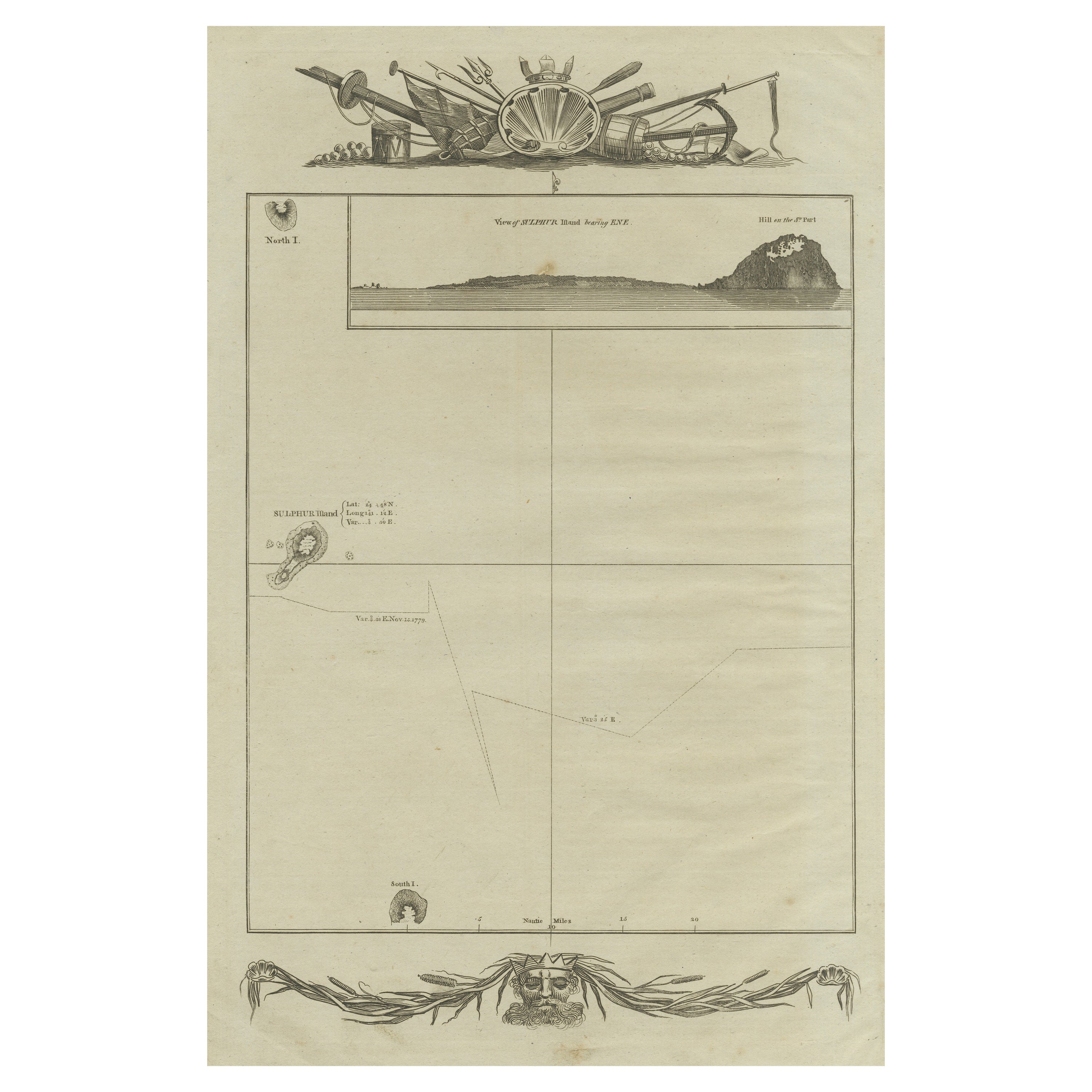
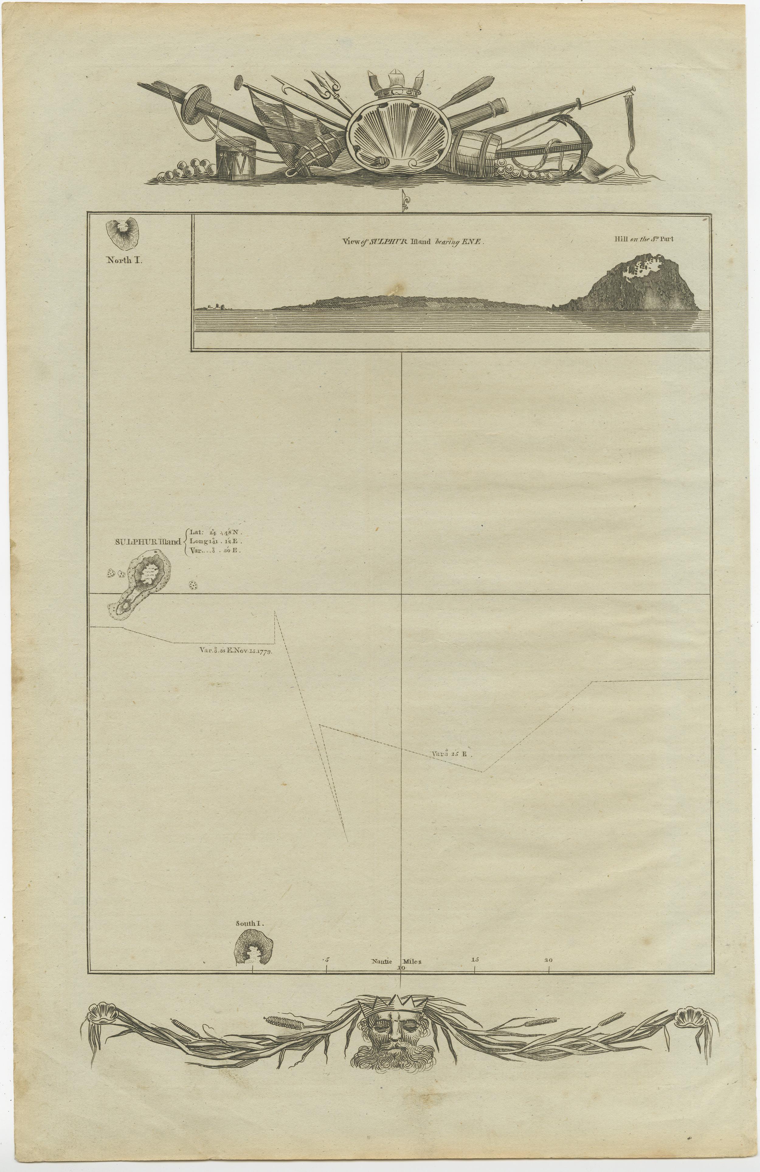
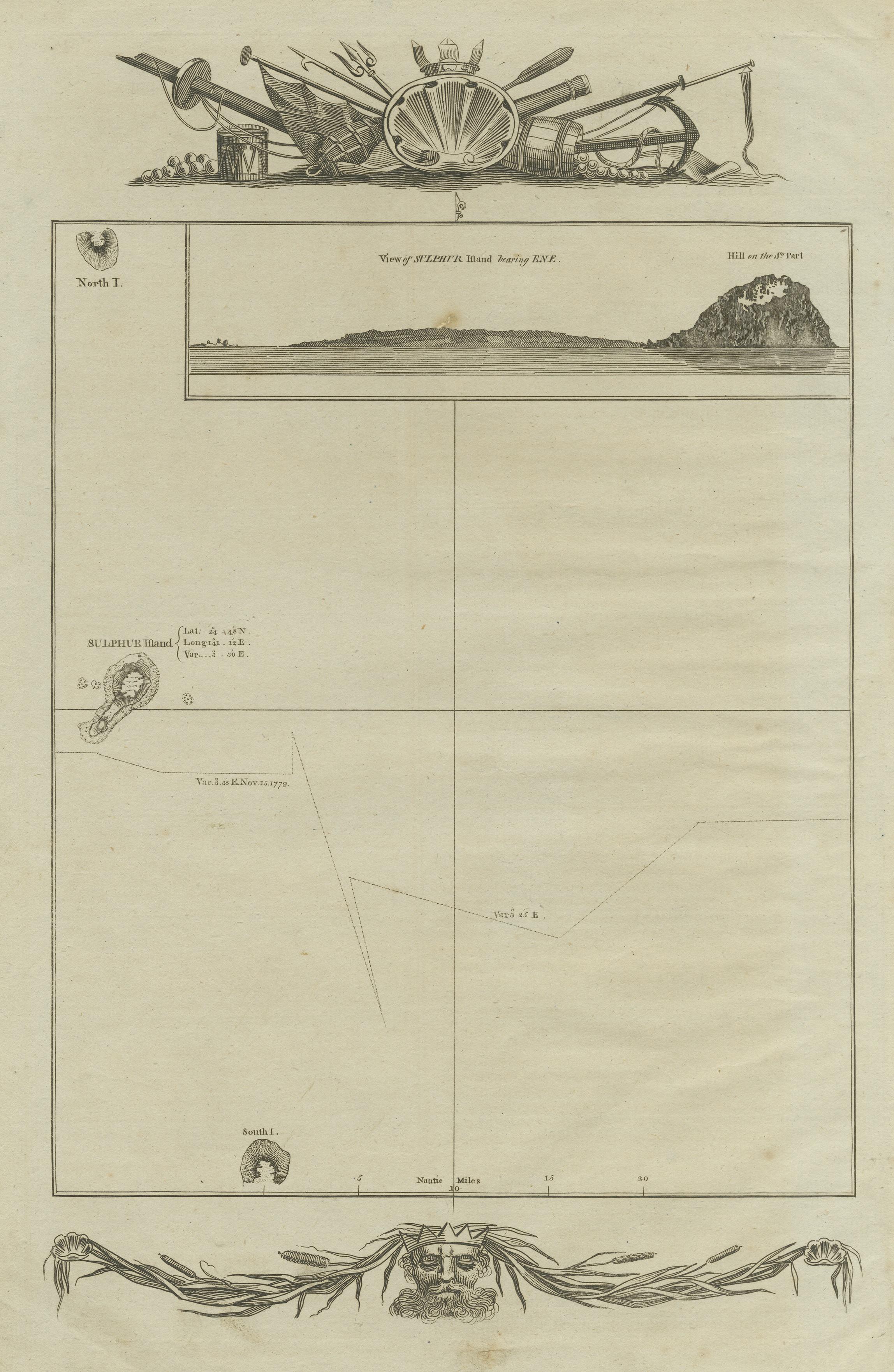
Antique Map of the Islands of Iwo Jima and Sulfur

€ 260

Original antique · The actual sheet photographed · Certificate of authenticity on request · Sold unframed · Worldwide shipping from € 15 (rates)

Sheet size
38.8 × 25 cm (15.3 × 9.8 in)
Condition
Fair
Reference
BG-12707-105
What the condition grades mean
Excellent
Bright and clean, with no faults worth mentioning.
Very good
Only light signs of age, such as faint toning.
Good
Normal signs of age for a sheet of this period: toning, some foxing, small marks or neat old repairs.
Fair
Clear faults such as staining, tears or repairs, priced to match.

Every fault we see is written in the condition note, and the whole sheet is shown uncropped in the photos.

Condition

Age-related tonign. Shows some wear and foxing. Blank verso. Please review the images for further condition details.
About this sheet

Untitled Antique Map of the islands of Iwo Jima and Sulfur, with a view of Sulphur with the hill. This map originates from 'A new, authentic, and complete collection of voyages round the world : undertaken and performed by royal authority : containing a new, authentic, entertaining, instructive, full, and complete historical account of Captain Cook's first, second, third, and last voyages' by G.W. Anderson. Published 1784-1786.

More from Japan

Ask about this sheet

Antique Map of the Islands of Iwo Jima and Sulfur
Ref. BG-12707-105 · € 260
We reply by email, usually within one working day.

Your favorites

Saved in this browser. Email the list to yourself to keep it on any device.

We use your email to send this list and, only if you tick the box and confirm, for occasional new arrivals. Every email has an unsubscribe link. Bartele Gallery, the Netherlands.