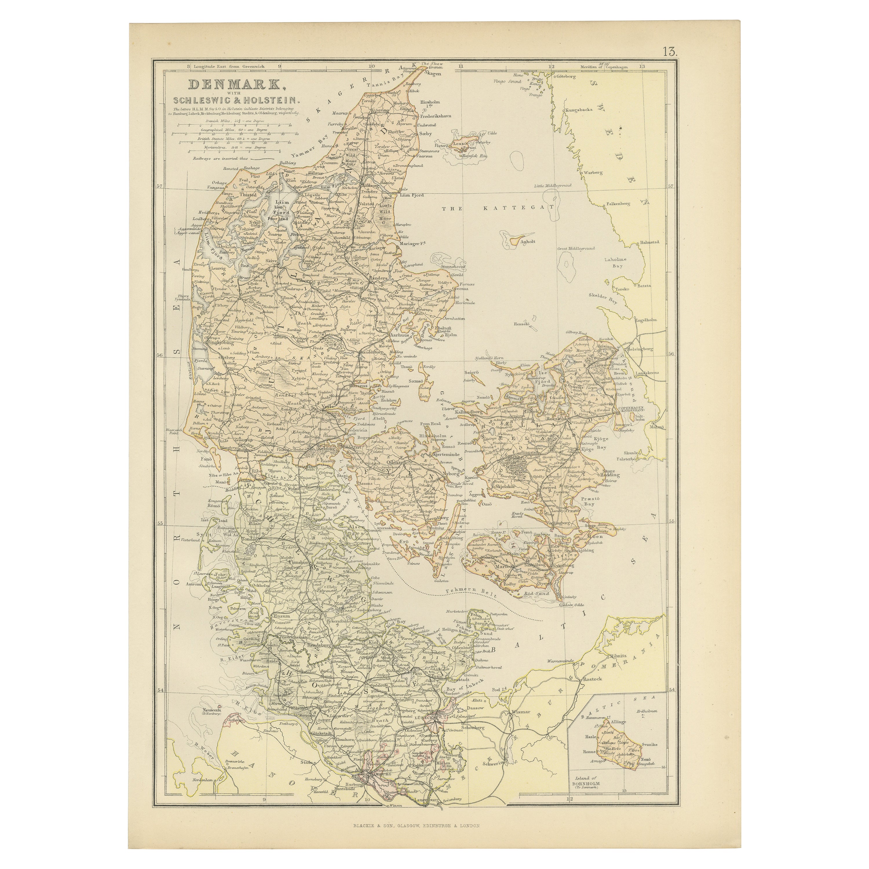
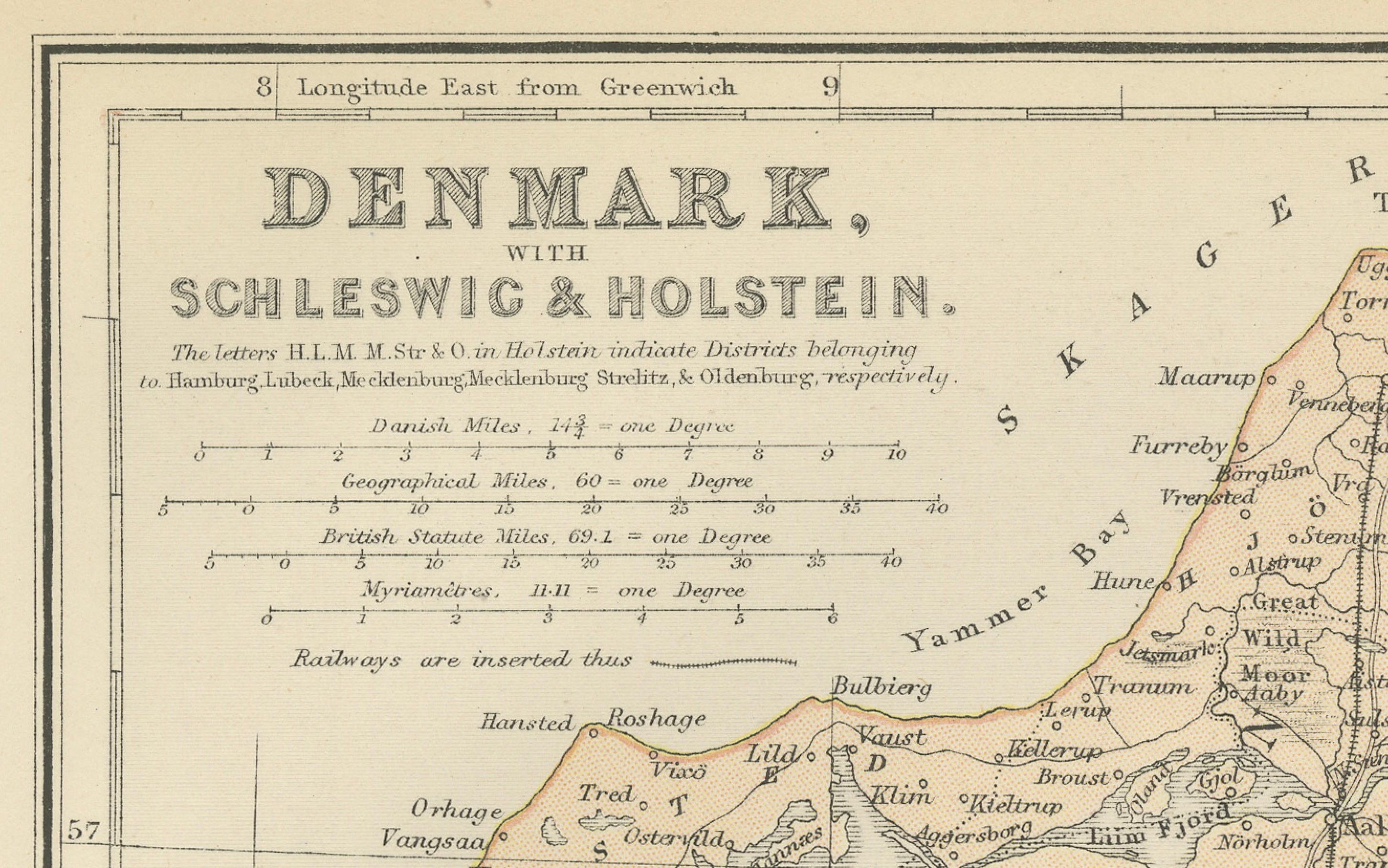
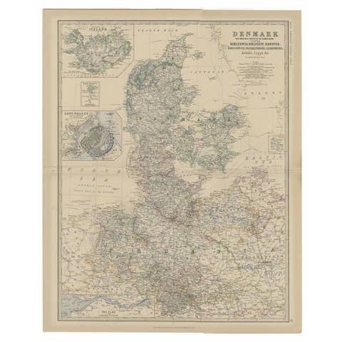
1882 Map of Denmark, Schleswig, and Holstein Highlighting Geographical Details
€ 230
One of a kind: this is the sheet in the photographs. Ships from Langweer, the Netherlands.
Date
1882
Sheet size
38 × 28 cm (15.0 × 11.0 in)
Condition
Good
Reference
BG-13601-2-23
Condition
Condition report: The map is in good condition with minimal edge wear. Slight toning consistent with its age. The engraving remains sharp, and the colors are well-preserved.
About this sheet
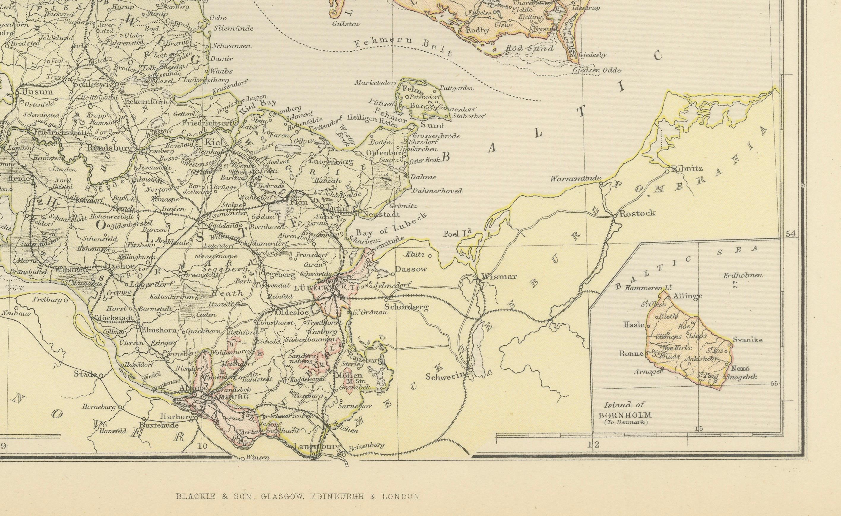
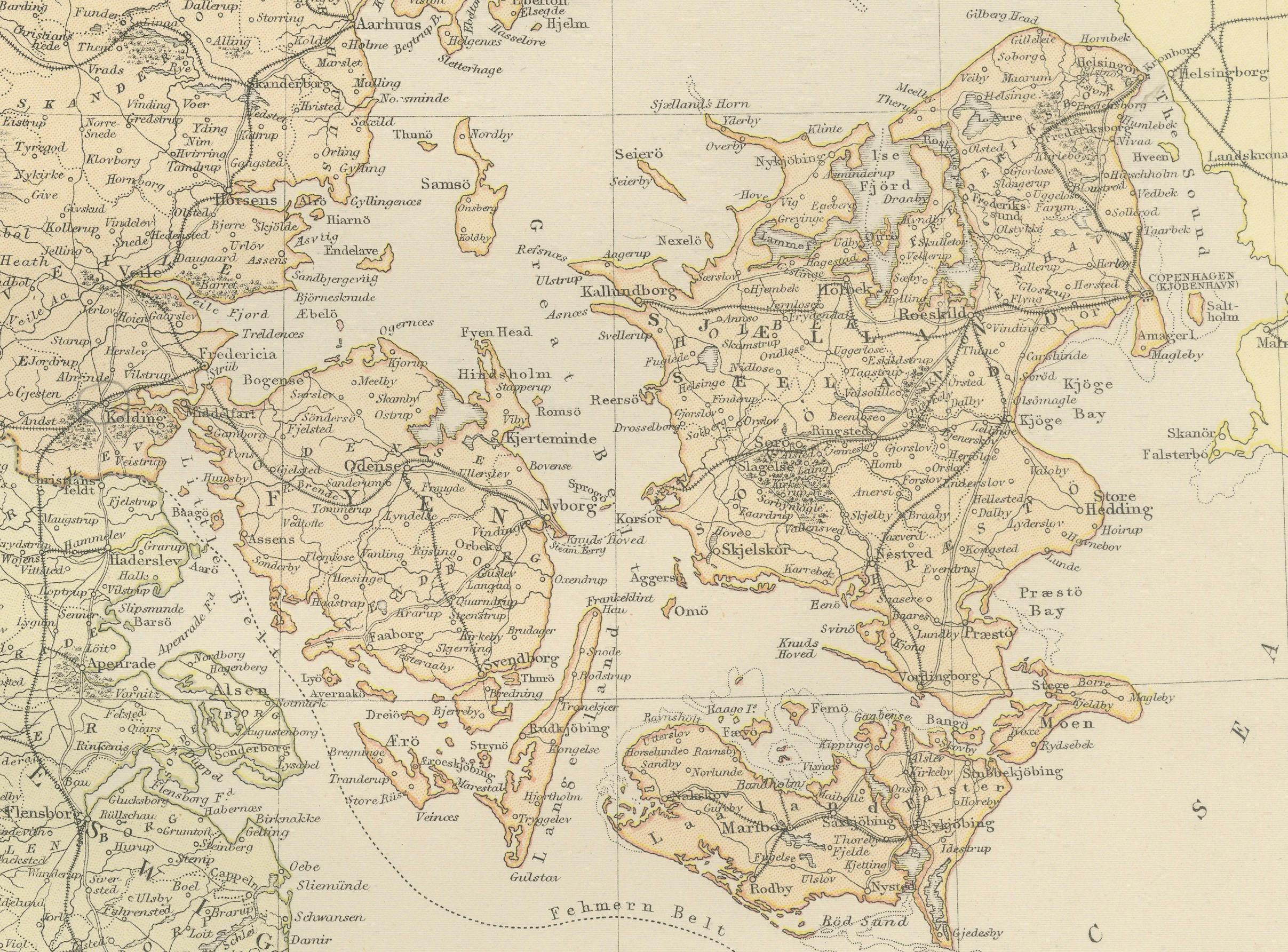
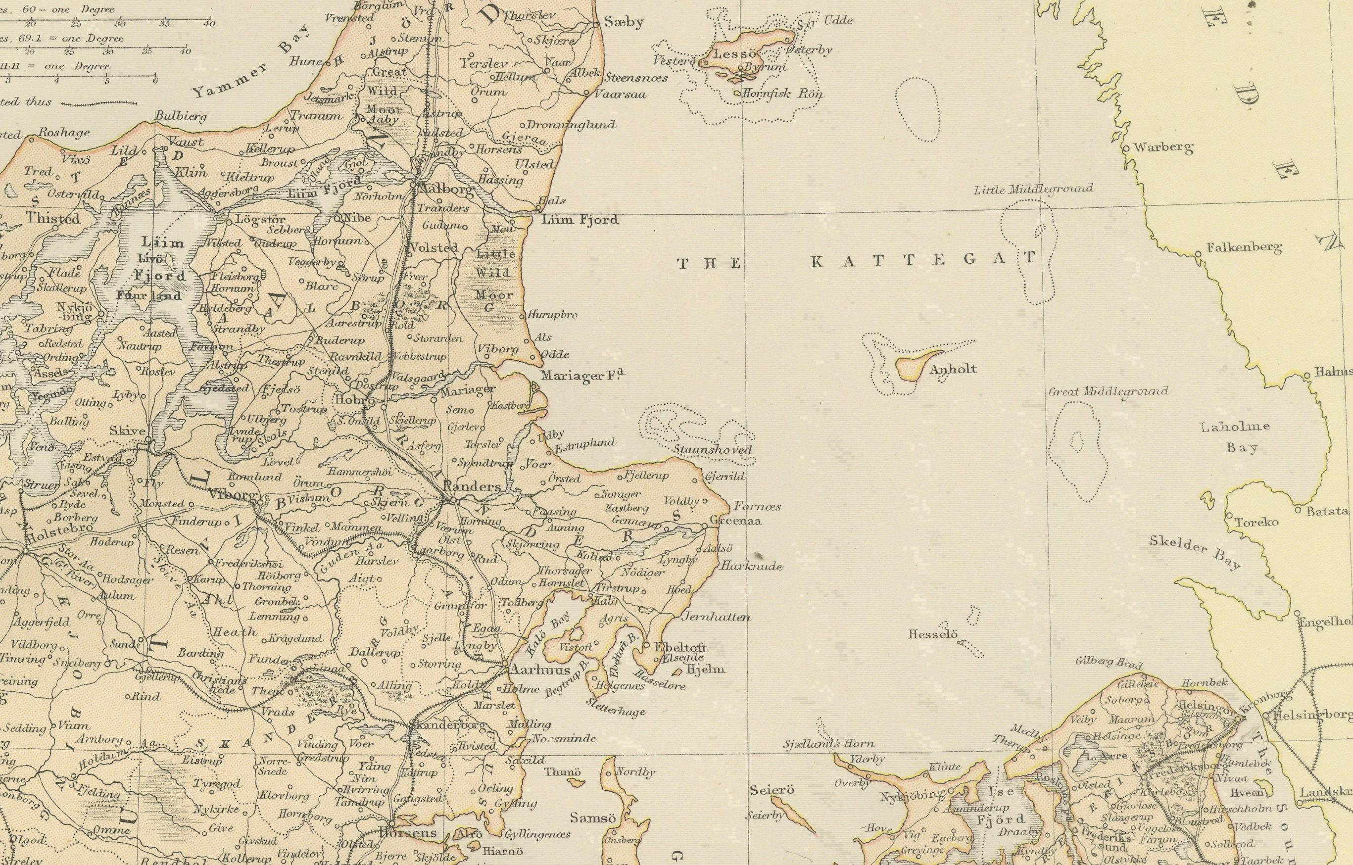
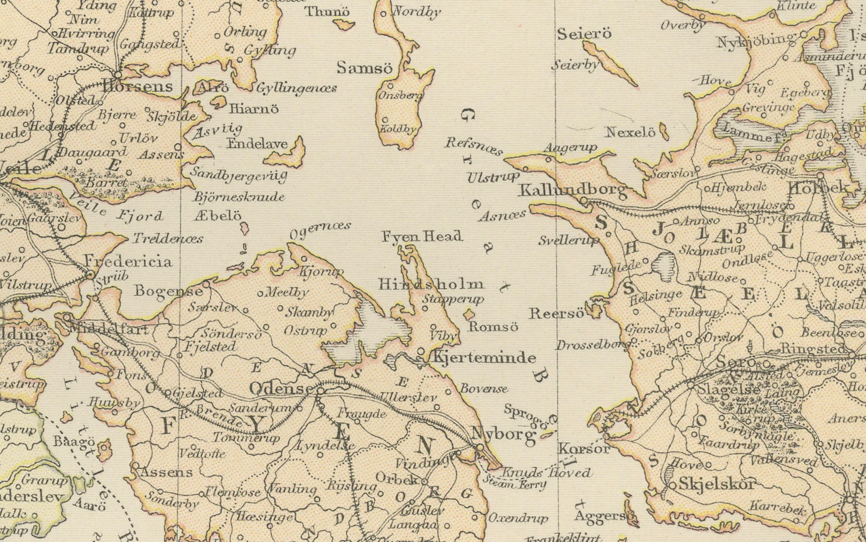
This 1882 map of Denmark, Schleswig, and Holstein, published by Blackie and Son as part of the 'Comprehensive Atlas and Geography of the World,' provides a detailed representation of the region's political and geographic features during the late 19th century. The map showcases Denmark's distinctive geography, including the Jutland Peninsula and its surrounding islands, as well as the areas of Schleswig and Holstein, which were historically significant in European politics. Key cities such as Copenhagen, Aarhus, and Kiel are prominently labeled, along with smaller towns and settlements.
Topographical details, including rivers, fjords, and coastal features, are intricately illustrated, emphasizing Denmark's maritime nature and its connection to the North and Baltic Seas. The map also highlights transportation networks, such as roads and railways, reflecting the infrastructure development of the era. Subtle pastel coloring delineates political boundaries, adding both clarity and visual appeal to the cartography.
Condition report: The map is in good condition with light age-related toning and minor spotting. The engraving remains sharp, and the colors are vibrant. There are no tears or repairs, and the paper is strong and intact.
Framing tips: Use a classic wooden frame with a natural or antique finish, such as walnut or mahogany, to complement the historical character of the map. A double mat with an inner cream or off-white layer and an outer mat in soft blue or light beige will enhance the map’s tones. Opt for UV-protective glass to prevent fading and preserve the map's condition for long-term display.