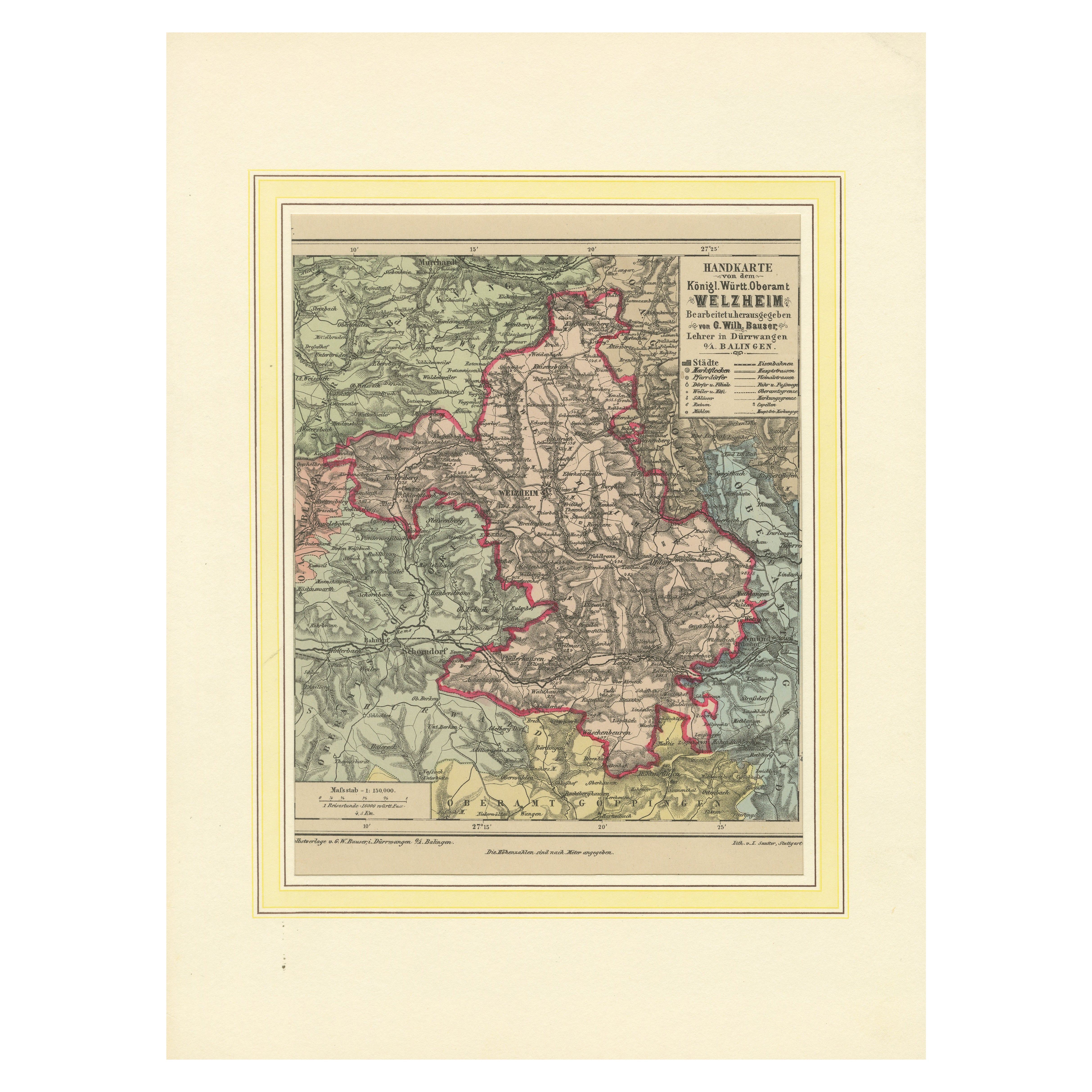
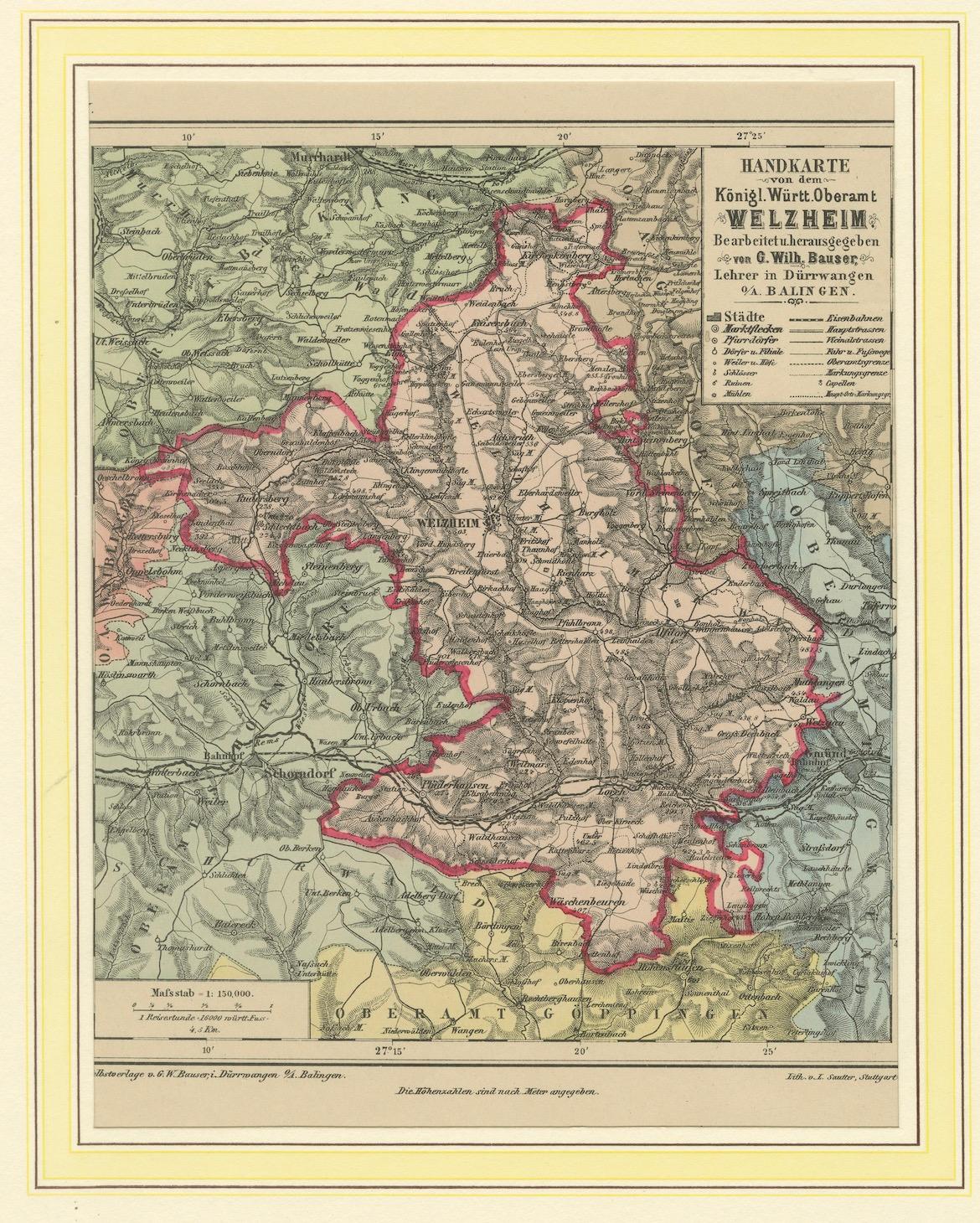
Decorative Map of the Royal Württemberg District of Welzheim, Germany, ca.1880
€ 280
One of a kind: this is the sheet in the photographs. Ships from Langweer, the Netherlands.
Date
1880
Sheet size
34.7 × 25.9 cm (13.7 × 10.2 in)
Condition
Good
Reference
BG-13836-114
Condition
The condition is excellent, with crisp outlines, bright coloration, and no damage. The map is mounted on a decorative mat, enhancing its presentation and preserving its integrity.
About this sheet
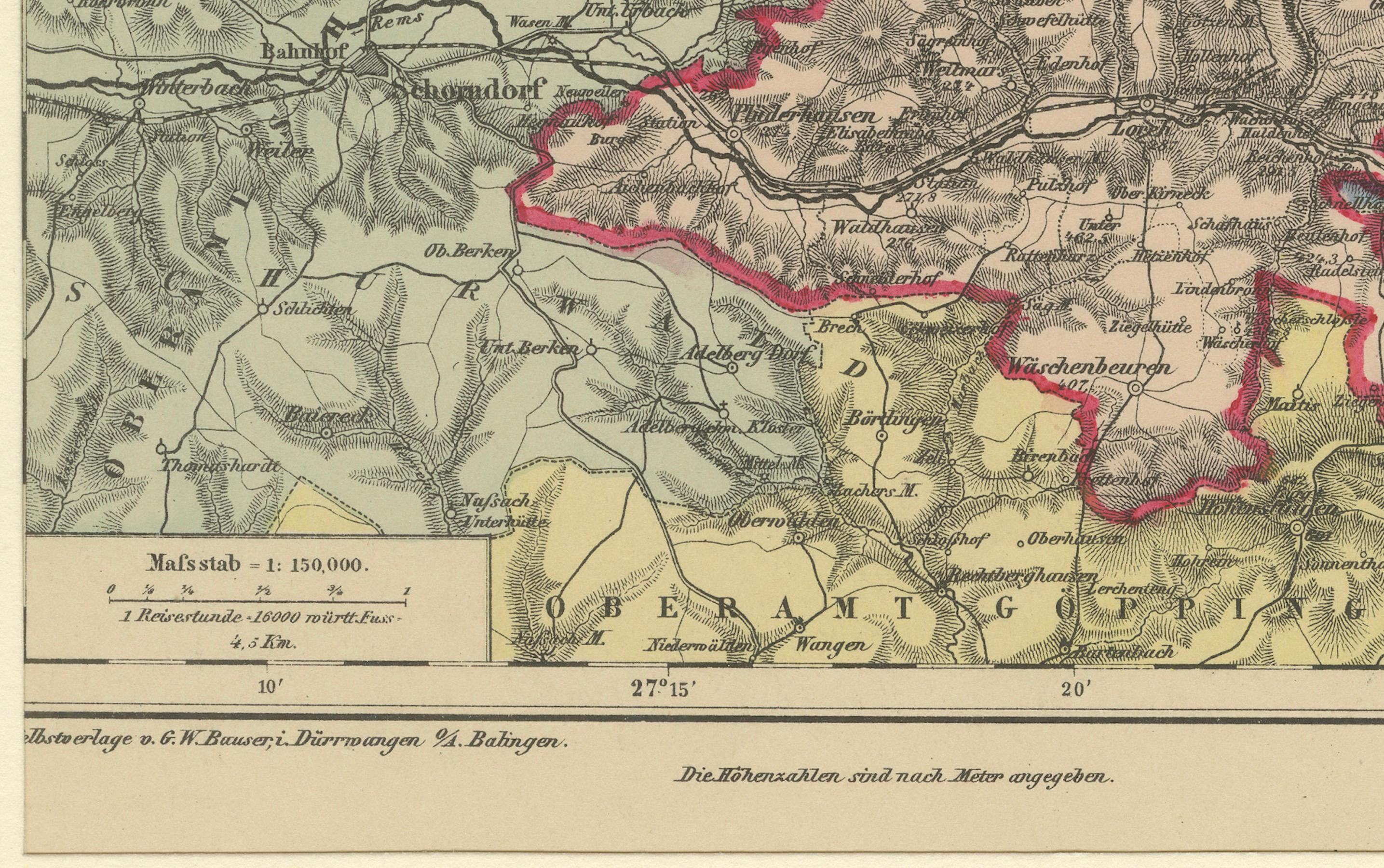
The Royal Württemberg District of Welzheim is located in Germany. Welzheim is a town in the state of Baden-Württemberg, which was historically part of the Kingdom of Württemberg. The map reflects the administrative and geographical boundaries of this region during the late 19th century, providing insights into its historical layout and surrounding areas.
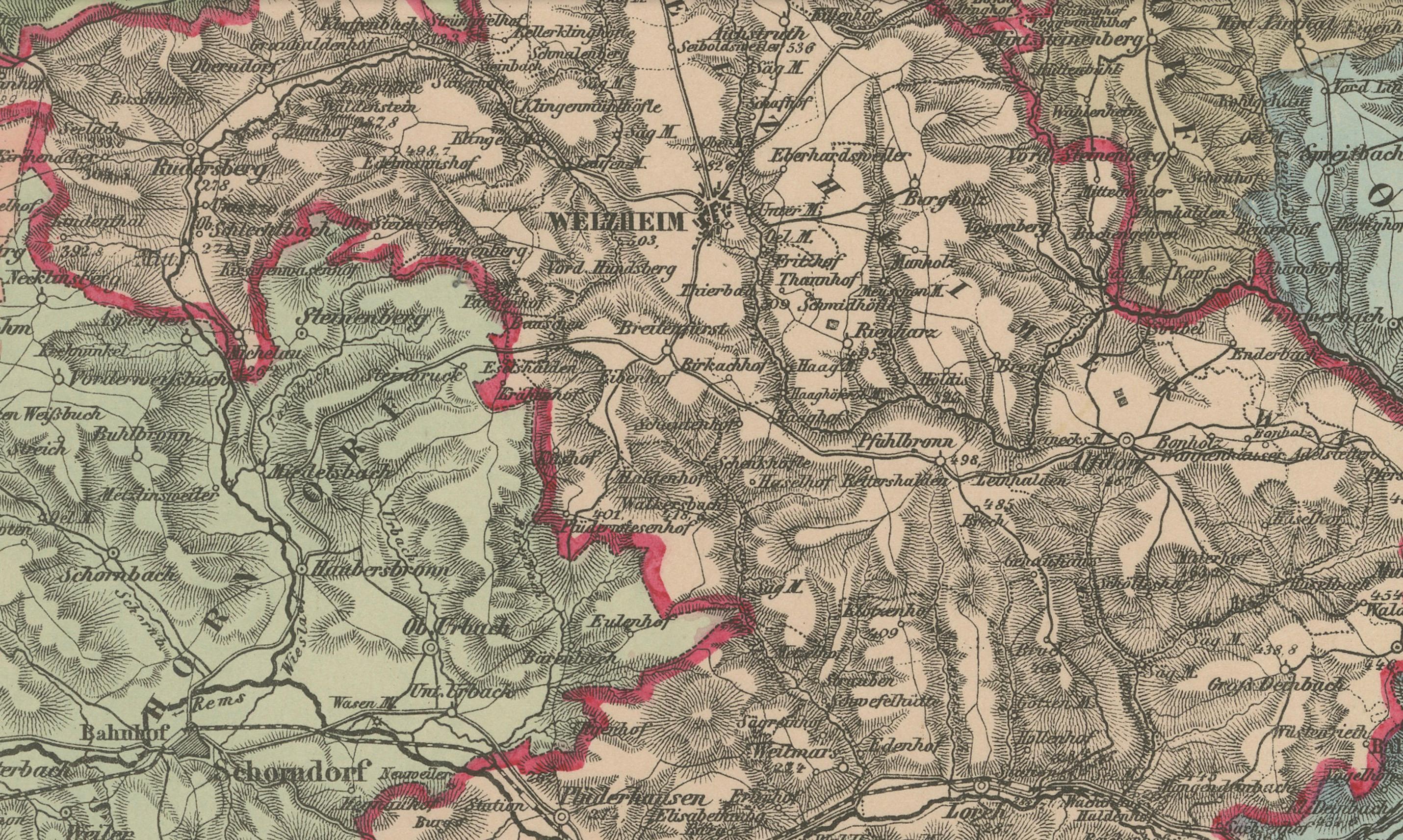
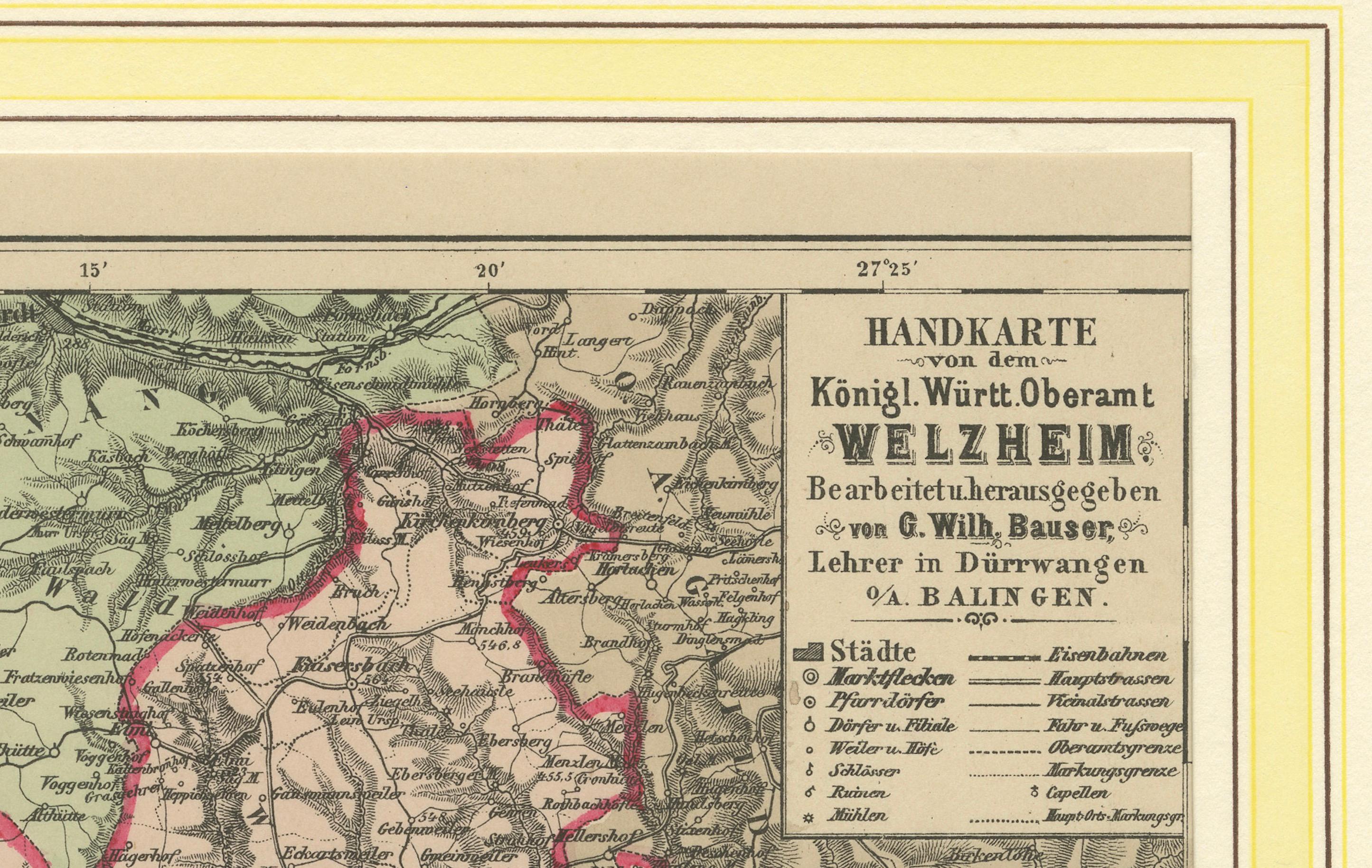
Handkarte von dem Königl. Württ. Oberamt Welzheim, circa 1880, Farblitho This is a finely detailed hand-colored lithographic map of the Royal Württemberg District of Welzheim, created around 1880. The map was designed by G.W. Bauser, a teacher in Dürnau, and lithographed by L. Sautter, showcasing intricate topographic details and administrative boundaries in vibrant colors.
The map highlights various cities, towns, and natural features, including Welzheim itself, with its surrounding forests, hills, and rivers. Significant areas of interest include Schwäbisch Gmünd, Aalen, and Stuttgart's vicinity. Its precision and aesthetic qualities make it a fascinating representation of 19th-century cartography.
The condition appears excellent, with crisp outlines, bright coloration, and no visible damage. The map is mounted on a decorative mat, enhancing its presentation and preserving its integrity.
This map is a valuable artifact for collectors of historic cartography or those interested in Württemberg's regional history.