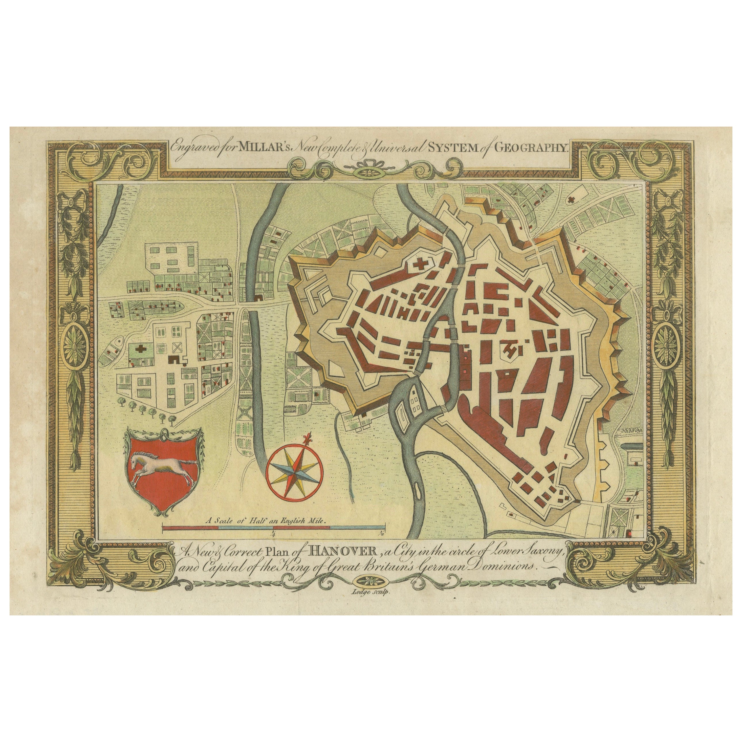
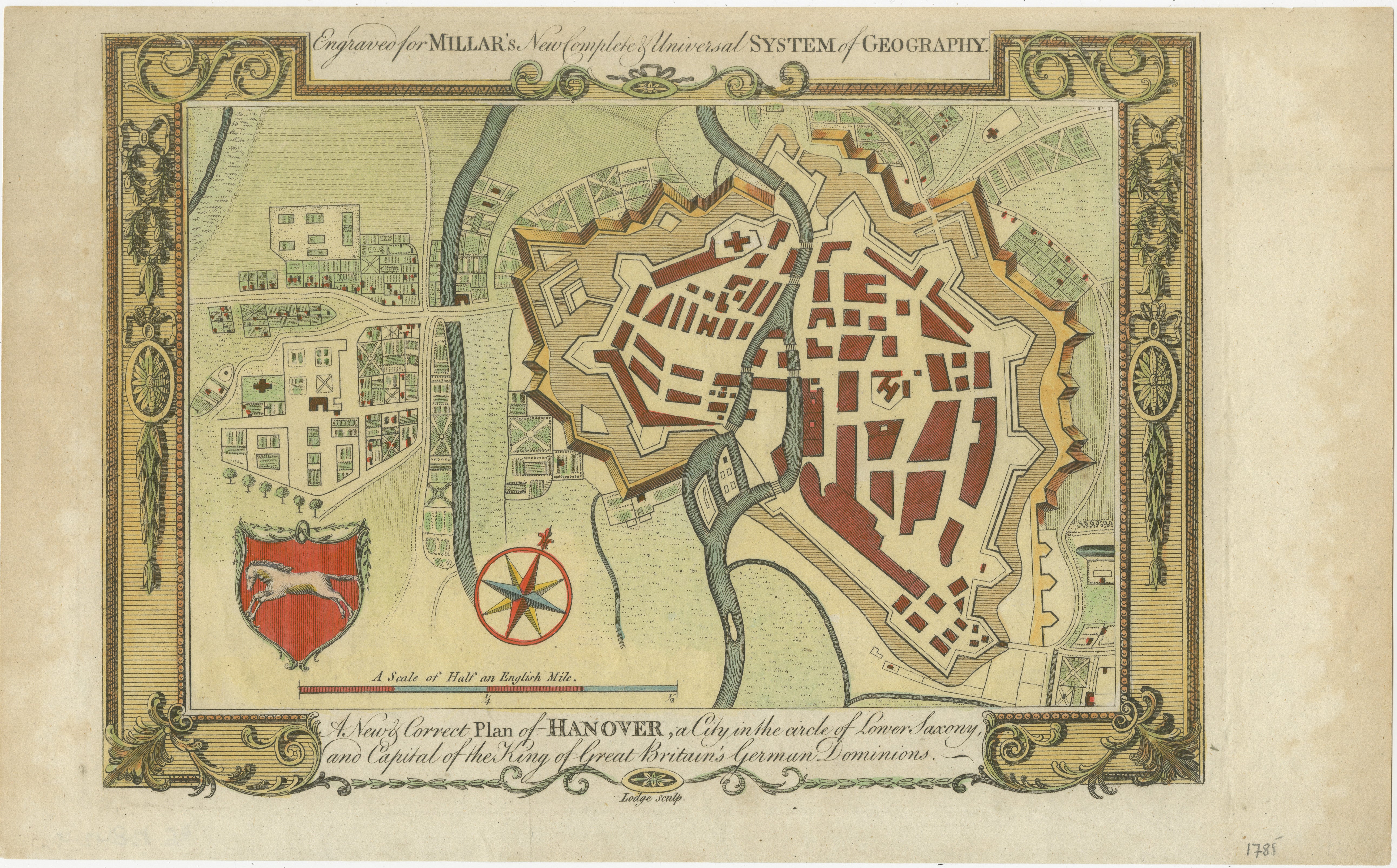
Decorative Map of Hanover, Lower Saxony by Lodge, ca. 1785
€ 320
One of a kind: this is the sheet in the photographs. Ships from Langweer, the Netherlands.
Date
1785
Sheet size
22.5 × 36.3 cm (8.9 × 14.3 in)
Condition
Good
Reference
BG-13842-4
Condition
Condition report: The map has minor toning and slight foxing along the edges. Colors are well-preserved, and the paper remains crisp, contributing to its overall visual appeal and condition.
About this sheet
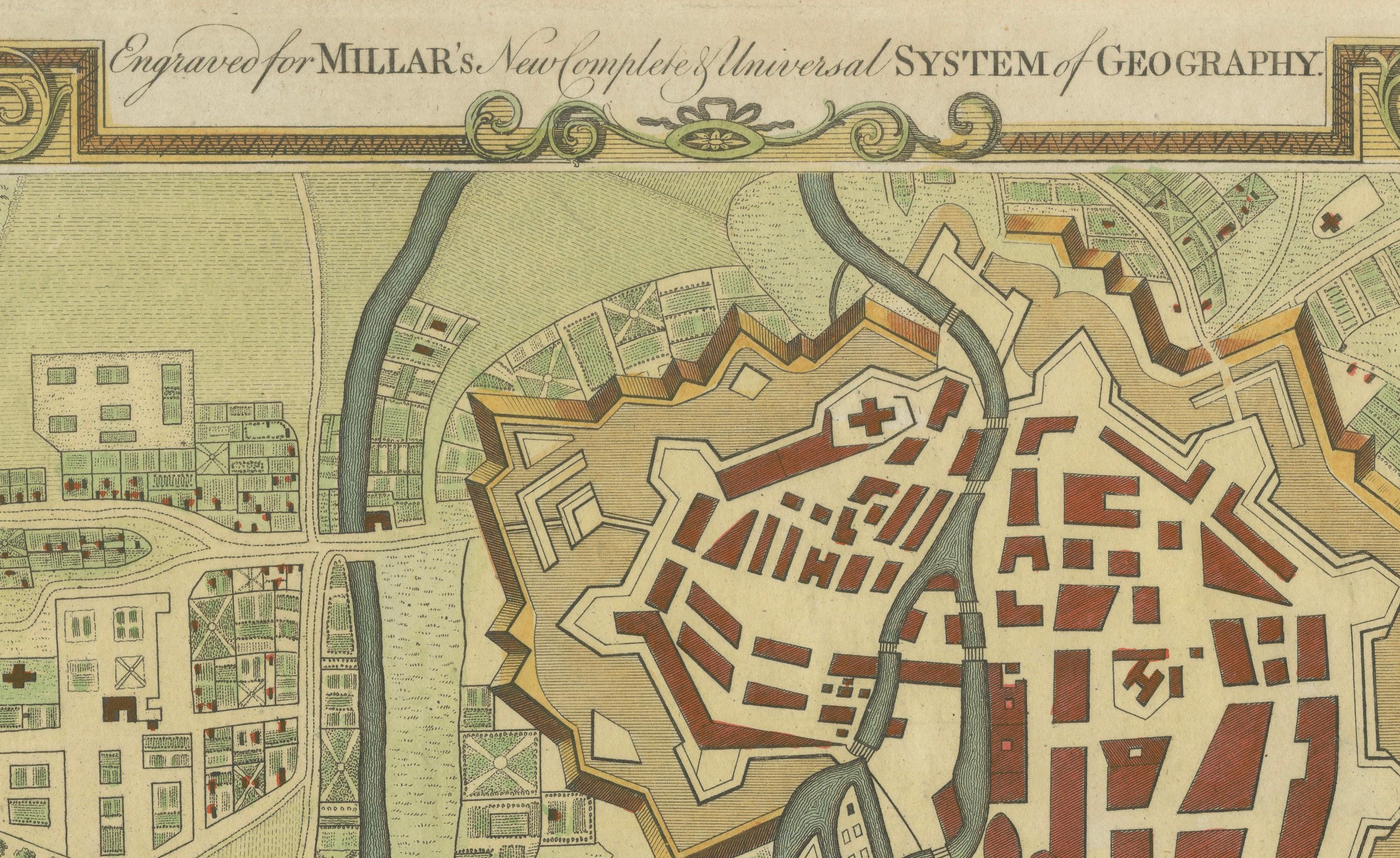
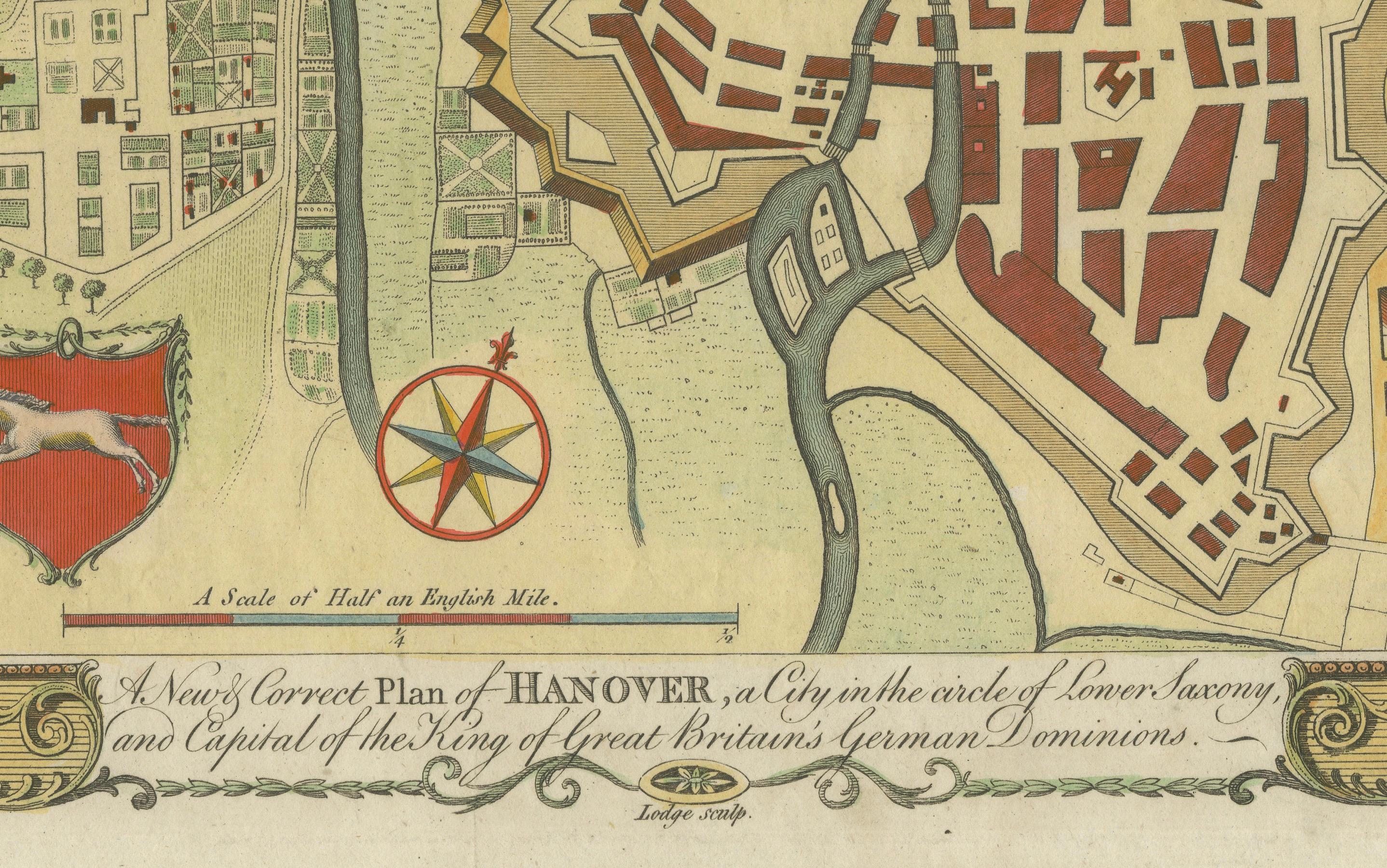
This decorative map, titled "A New & Correct Plan of Hanover, a City in the circle of Lower Saxony," was engraved by Lodge around 1785 and included in Millar's *New Complete & Universal System of Geography*. It provides a detailed city plan of Hanover, the capital of Lower Saxony, showing the city layout along the River Leine. Prominent buildings, street grids, and open areas are represented in the cityscape, with a list of notable locations included for reference.
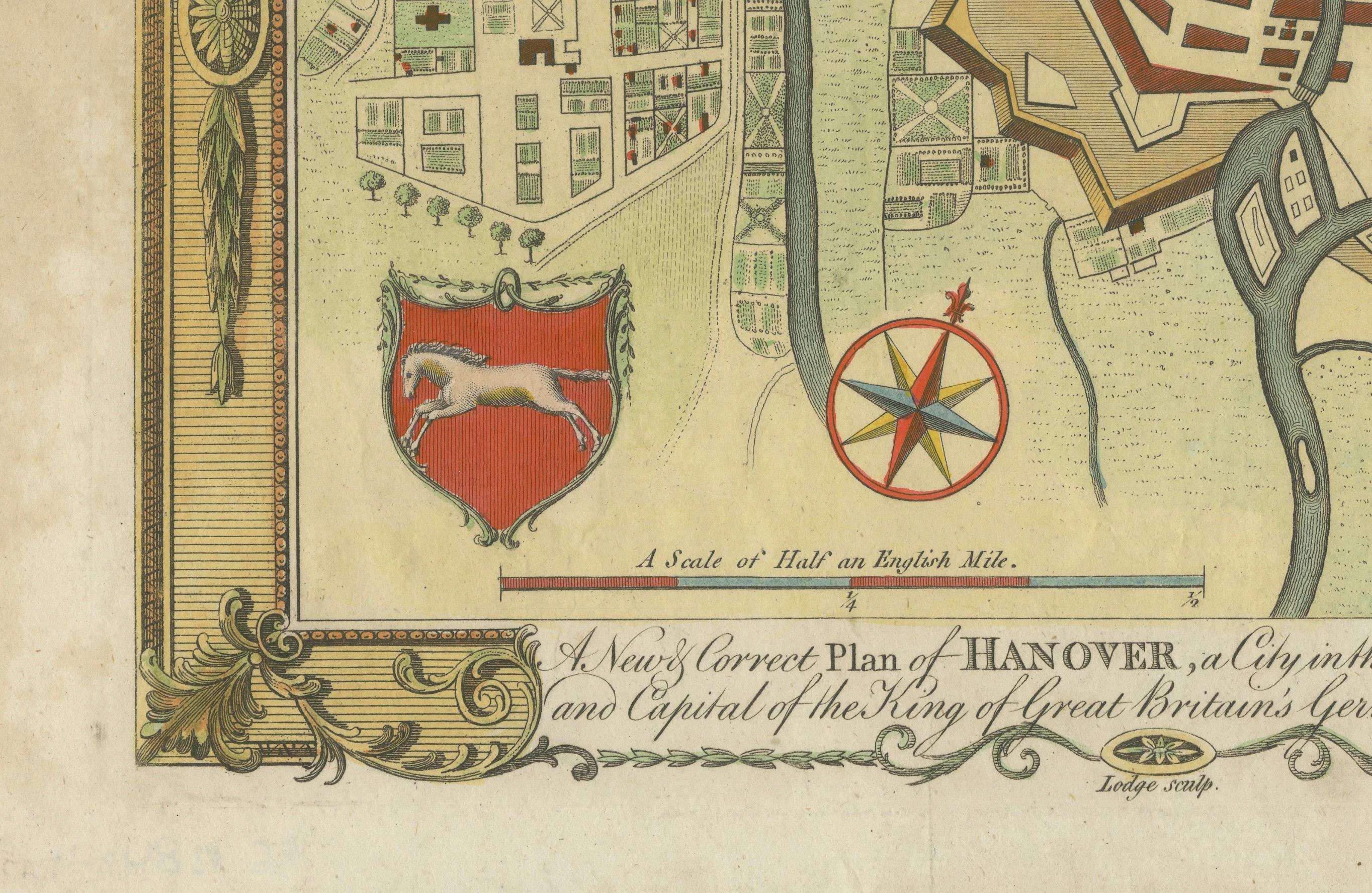
The map features an ornate border and includes the coat of arms of Lower Saxony, adding to its decorative appeal. Hanover is historically significant as the family seat of the Hanoverian Kings of the United Kingdom of Great Britain and Ireland. The city plan highlights both the defensive bastions and the urban areas, providing an interesting look into the city’s layout during the late 18th century.
Condition report: The map has minor toning and slight foxing along the edges. Colors are well-preserved, and the paper remains crisp, contributing to its overall visual appeal and condition.