About this sheet
Exactissima Lotharingia - A Rare 17th Century Map of Lorraine by Carel Allard
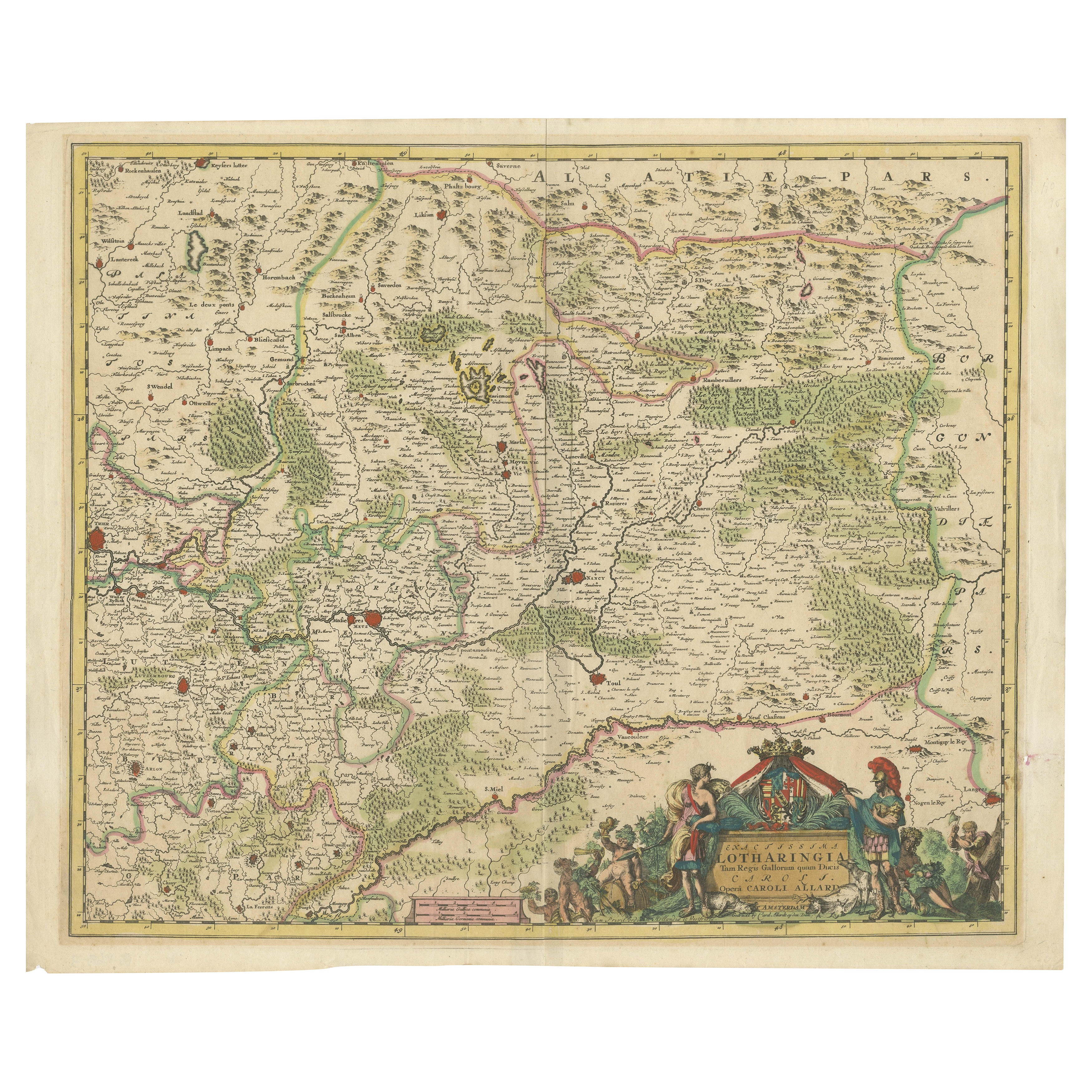
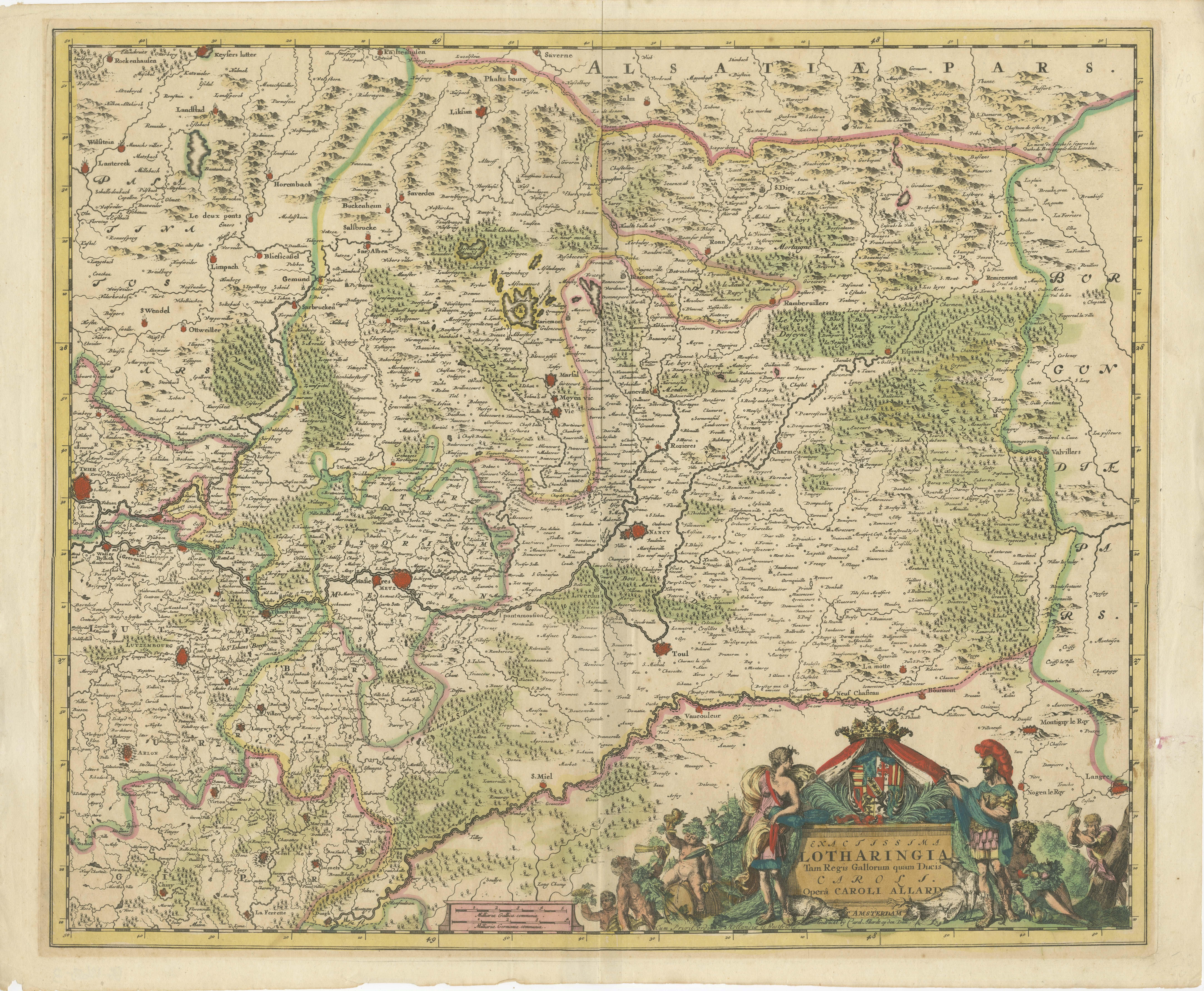
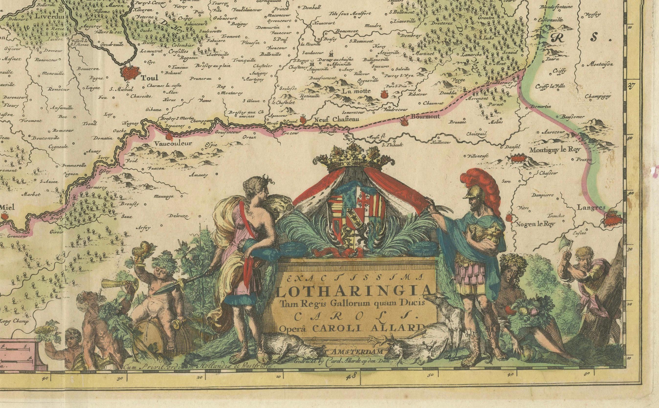
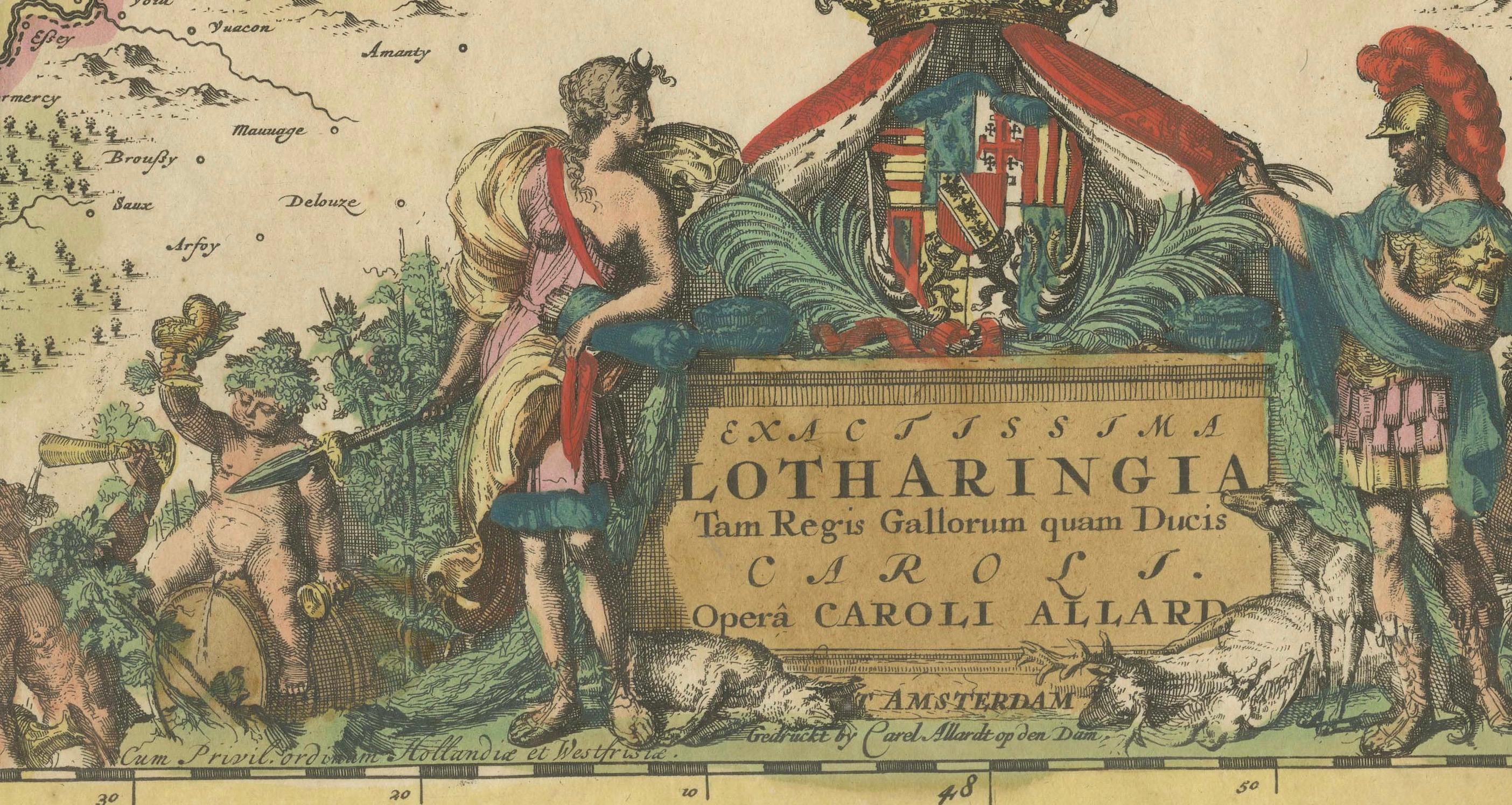
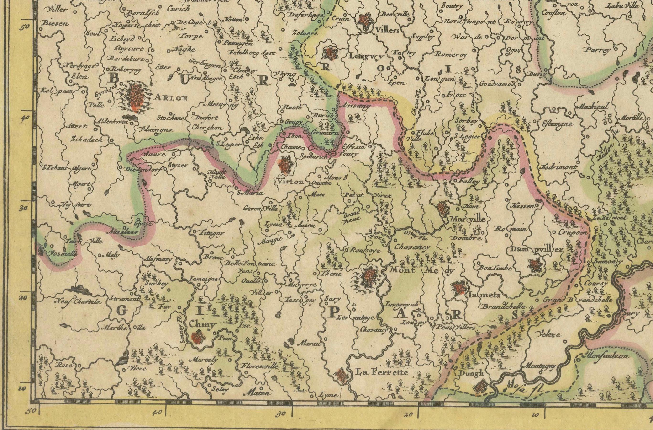
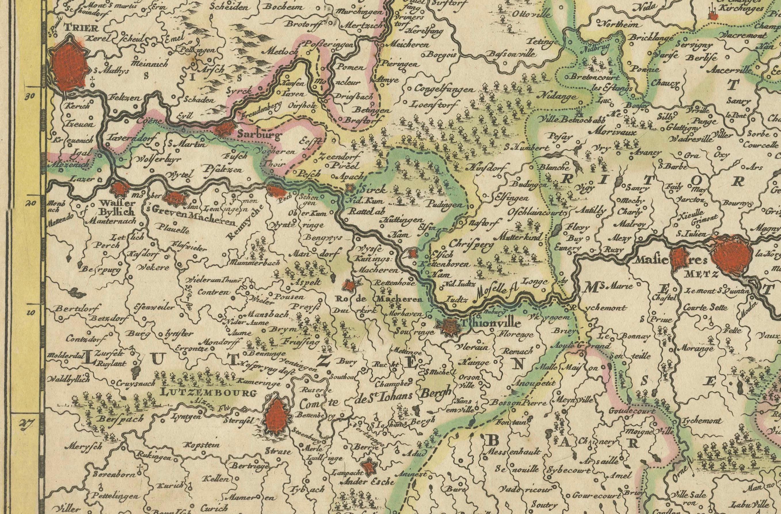
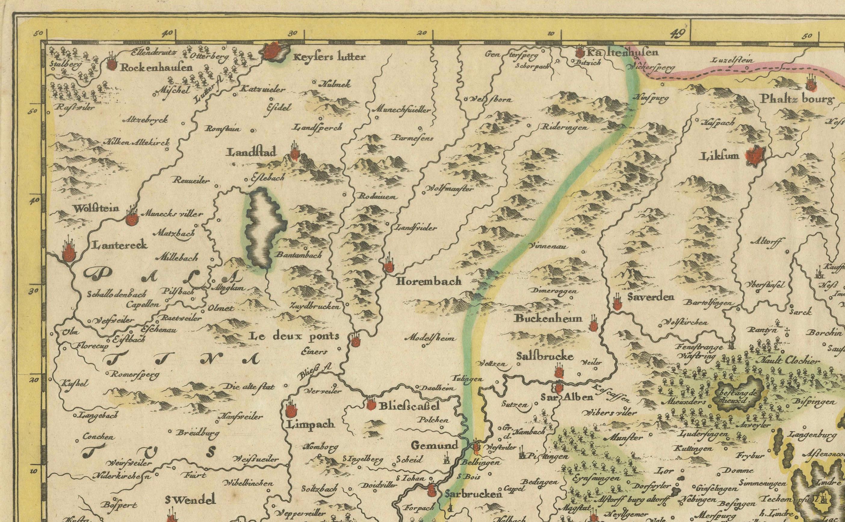
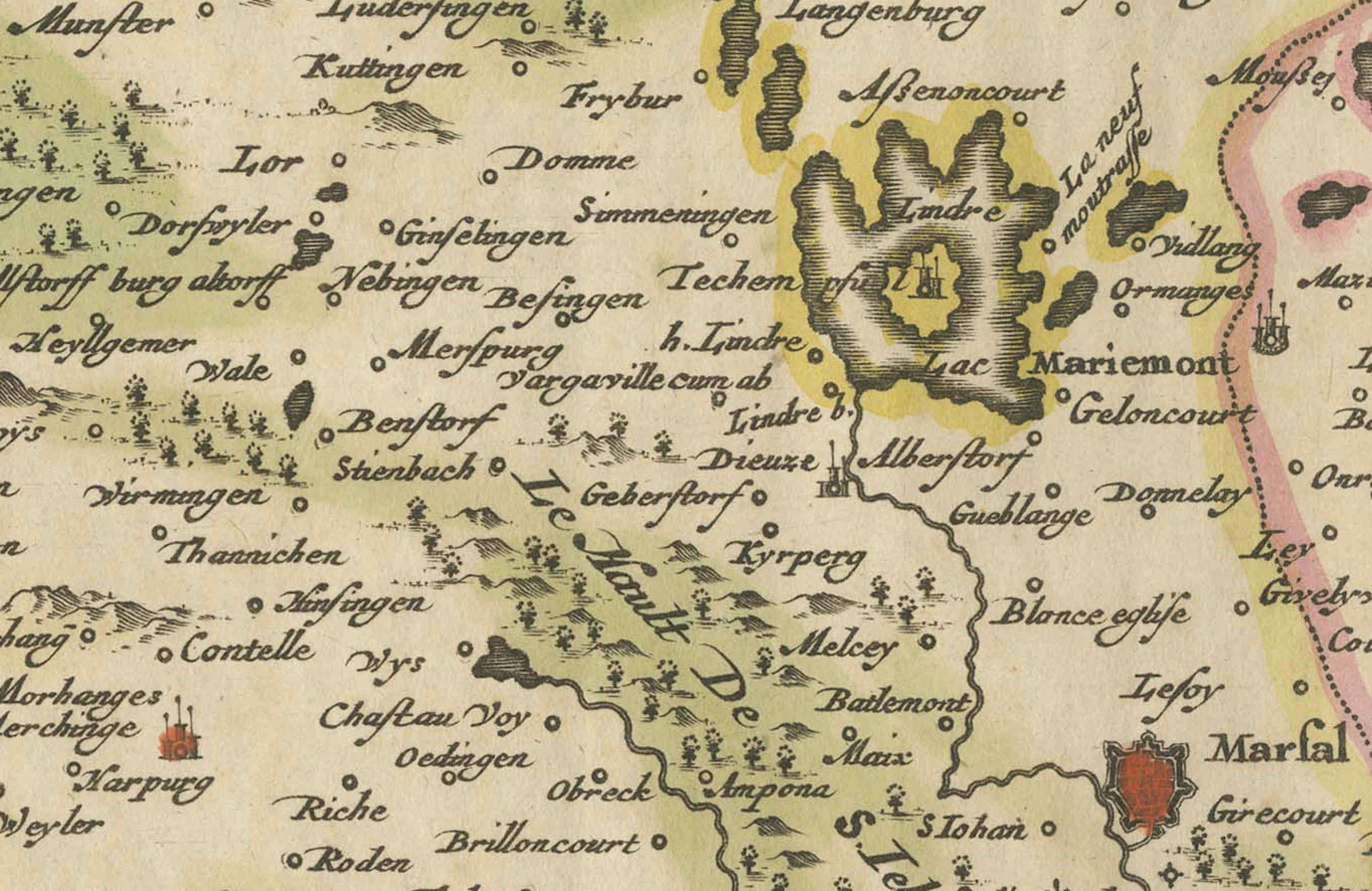
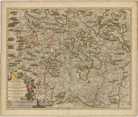
This fascinating map of Lorraine, created by Carel Allard around 1690, is a stunning example of copperplate engraving and old coloring. Carel Allard, a renowned Dutch cartographer and engraver from Amsterdam, was highly respected for his meticulous and detailed maps. This map, titled Exactissima Lotharingia Tam Regis Gallorum quam Ducis Caroli Opera Caroli Allard, is an exquisite representation of the historical region of Lorraine, located in northern France.
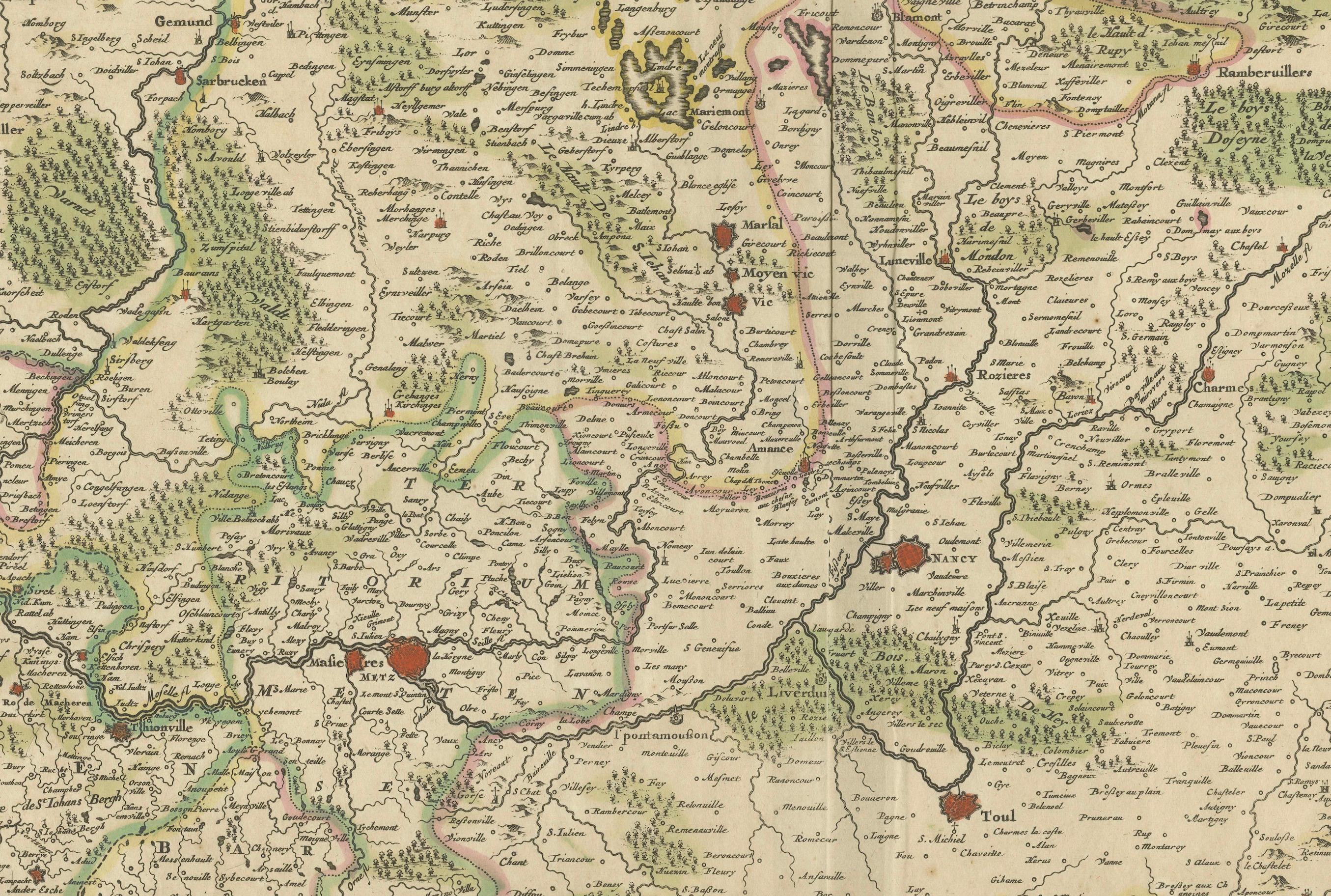
The map is oriented with the west at the top, offering a unique perspective on the area, which includes the cities of Toul, Nancy, Metz, and Trier. The map’s vibrant hand coloring, typical of the period, enhances the geographic and political divisions, while highlighting significant cities and regions in rich red tones. The borders of Lorraine are prominently marked, and the topography of the region is meticulously illustrated with fine lines depicting rivers, hills, and forests.
Carel Allard's engraving technique is a testament to the masterful craftsmanship of the late 17th century. Copperplate engraving was a labor-intensive process where the cartographer would meticulously incise the design into a copper plate, which was then inked and pressed onto paper. The old hand coloring adds depth and aesthetic appeal, making each map unique. The decorative cartouche in the lower right corner of the map is a masterpiece in itself. It features allegorical figures, soldiers, and a coat of arms, symbolizing the pride and heritage of Lorraine. The presence of these decorative elements not only enhances the visual appeal but also provides insight into the cultural and political significance of the region during that period.
What makes this map particularly interesting is its historical context and rarity. Allard’s maps were not produced in large quantities, and their survival through centuries makes them highly collectible. The geographical accuracy and artistic flair make it a valuable piece for both map collectors and historians. Lorraine, as depicted on the map, was an area of great strategic and political importance during the late 17th century, situated between France and the Holy Roman Empire. The detailed depiction of cities, rivers, and natural landscapes showcases Allard’s dedication to precision and his artistic touch in portraying the region's rich heritage.
Condition: The map has been framed before but is preserved in good condition. It has an overall even toning, which is typical for maps of this age. A small hole is in the right border, hardly noticeable. The colors are vivid, retaining their original vibrancy.
Framing Tips: For framing, it is recommended to use acid-free materials and UV-protected glass to preserve the old coloring and prevent fading. A classic wooden frame with a neutral or gold tone will complement the historical essence of the piece and highlight its decorative cartouche.