About this sheet
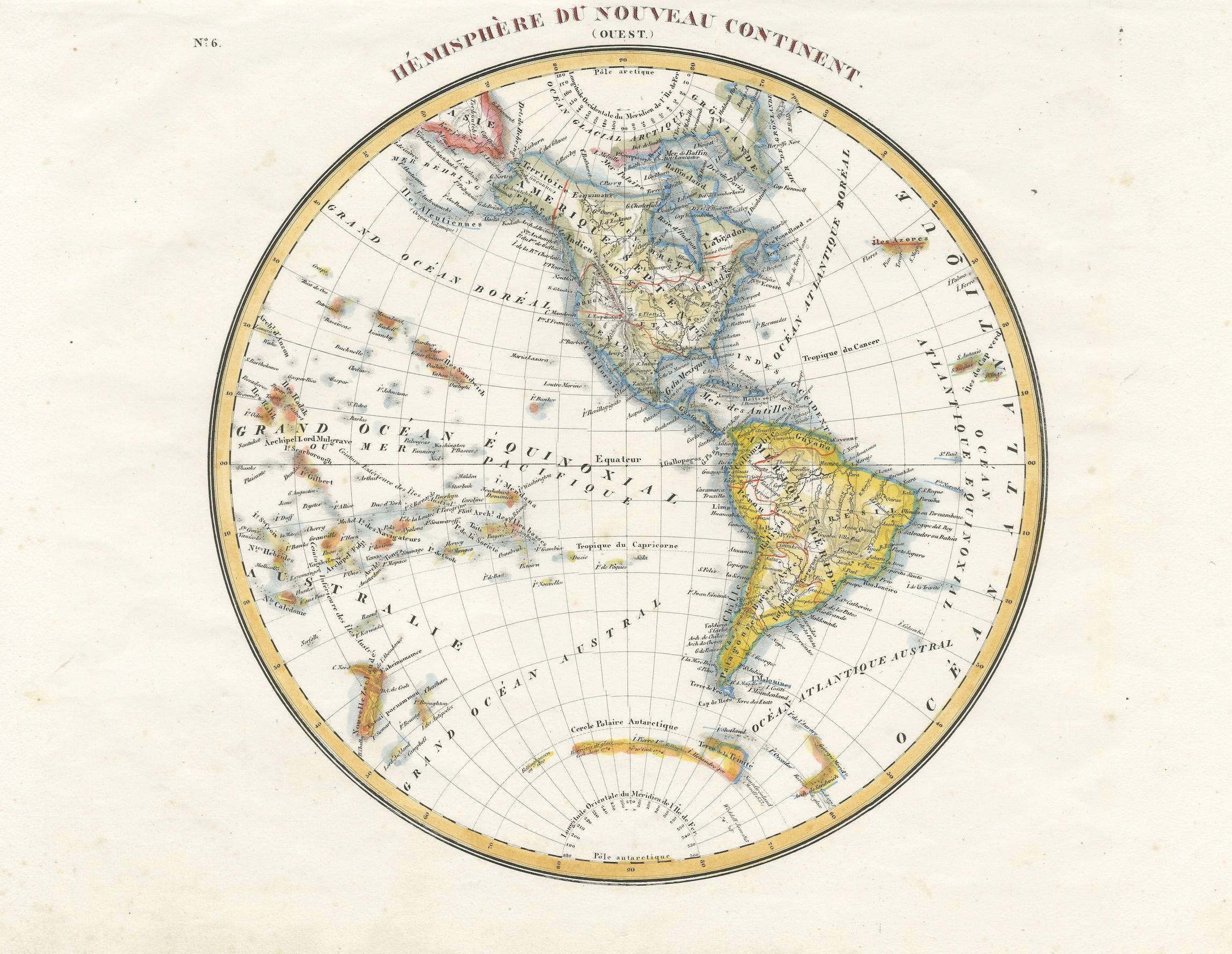
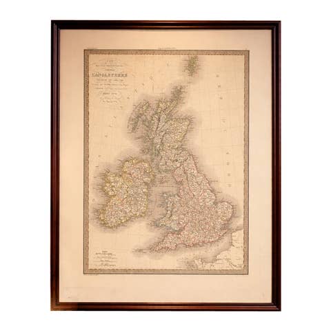
Antique Map of the Western Hemisphere by Lapie, France, circa 1830
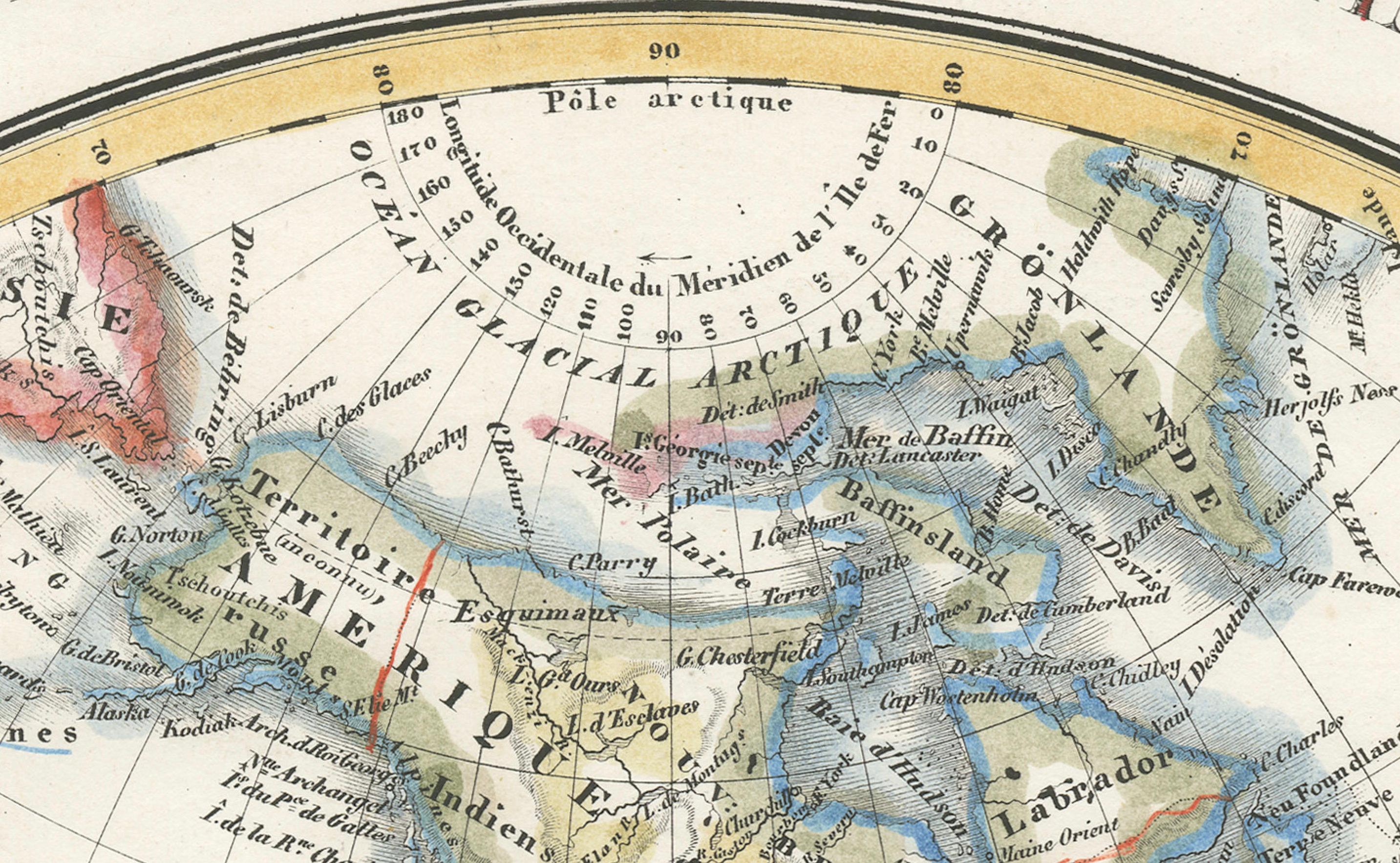
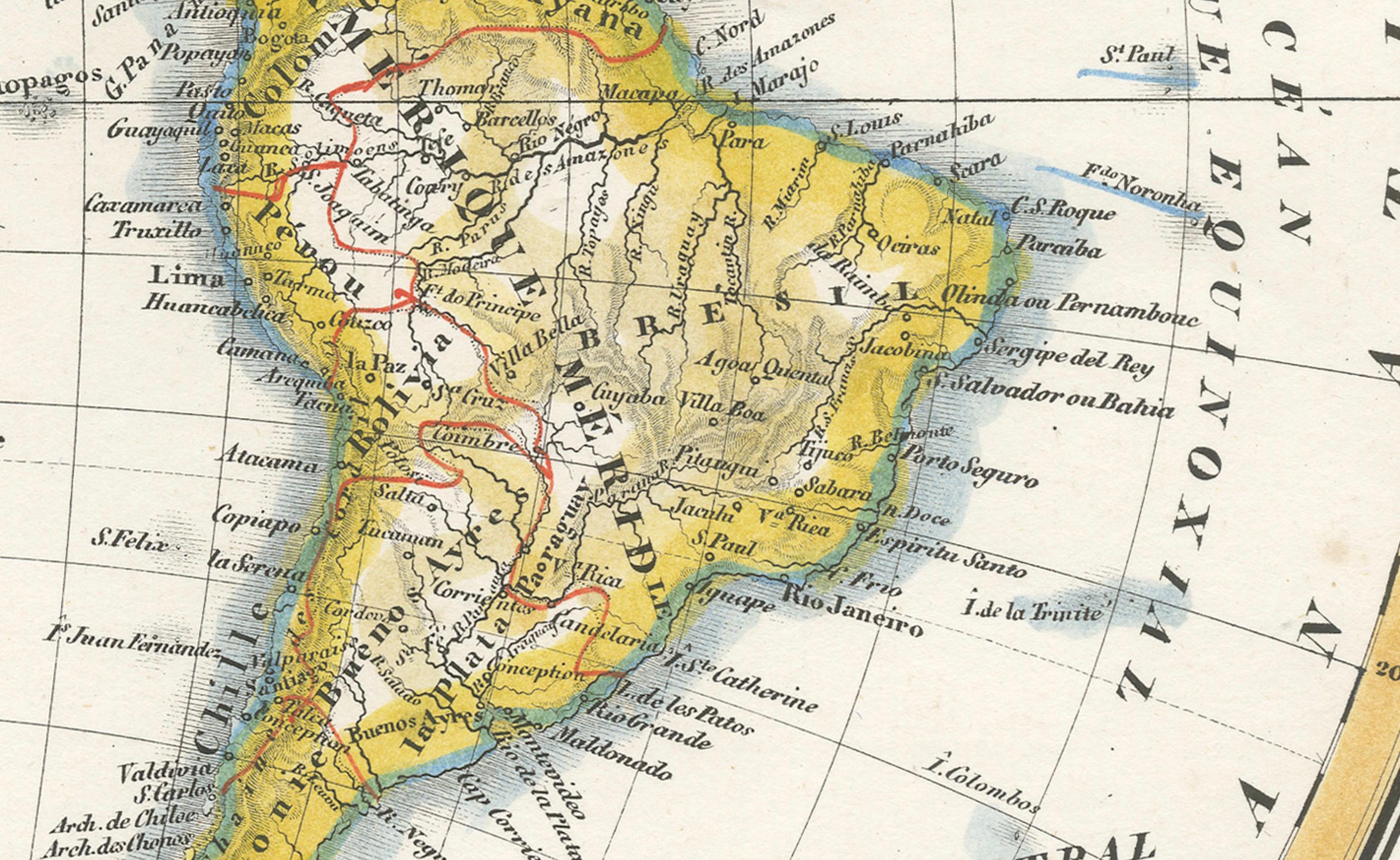
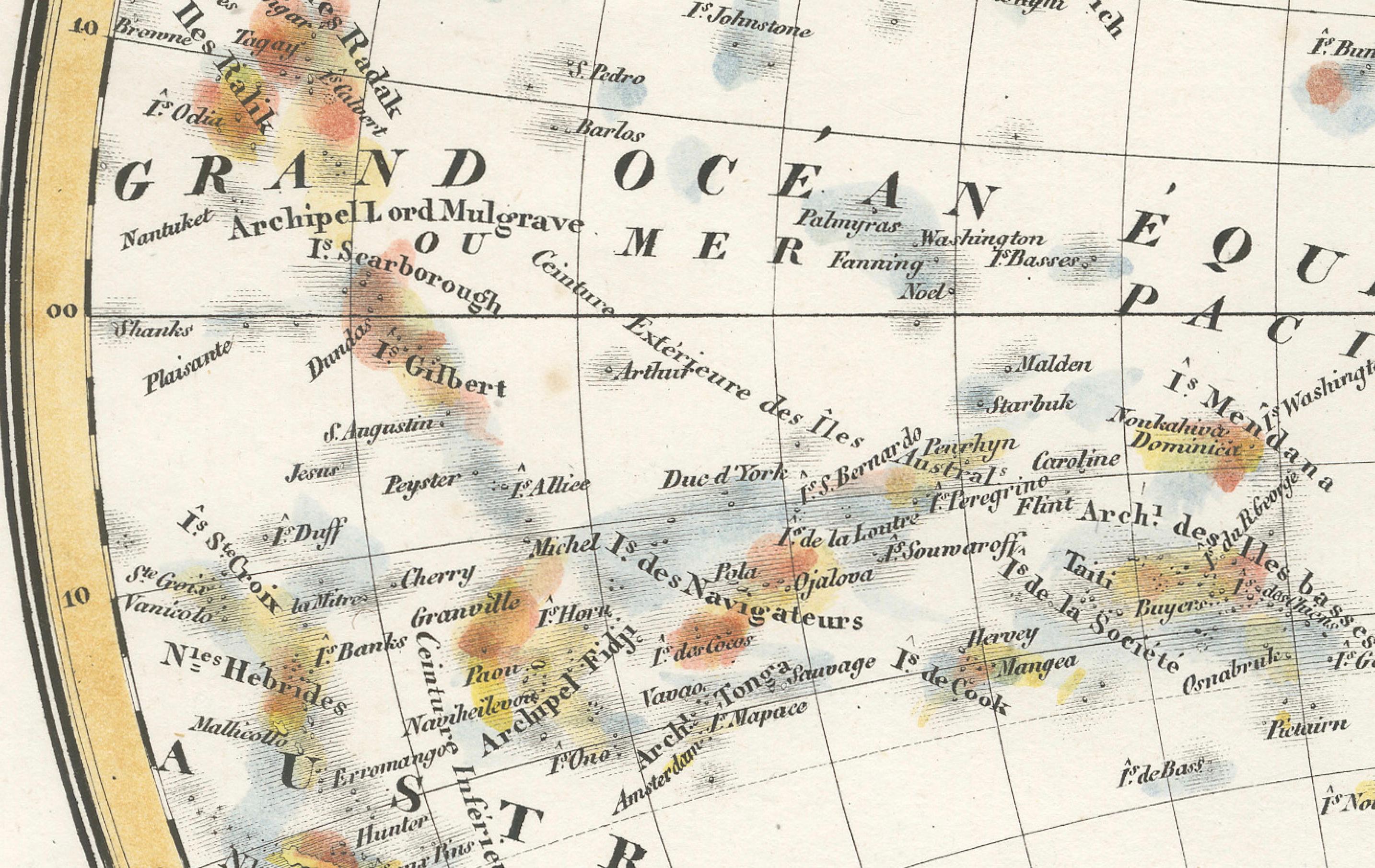
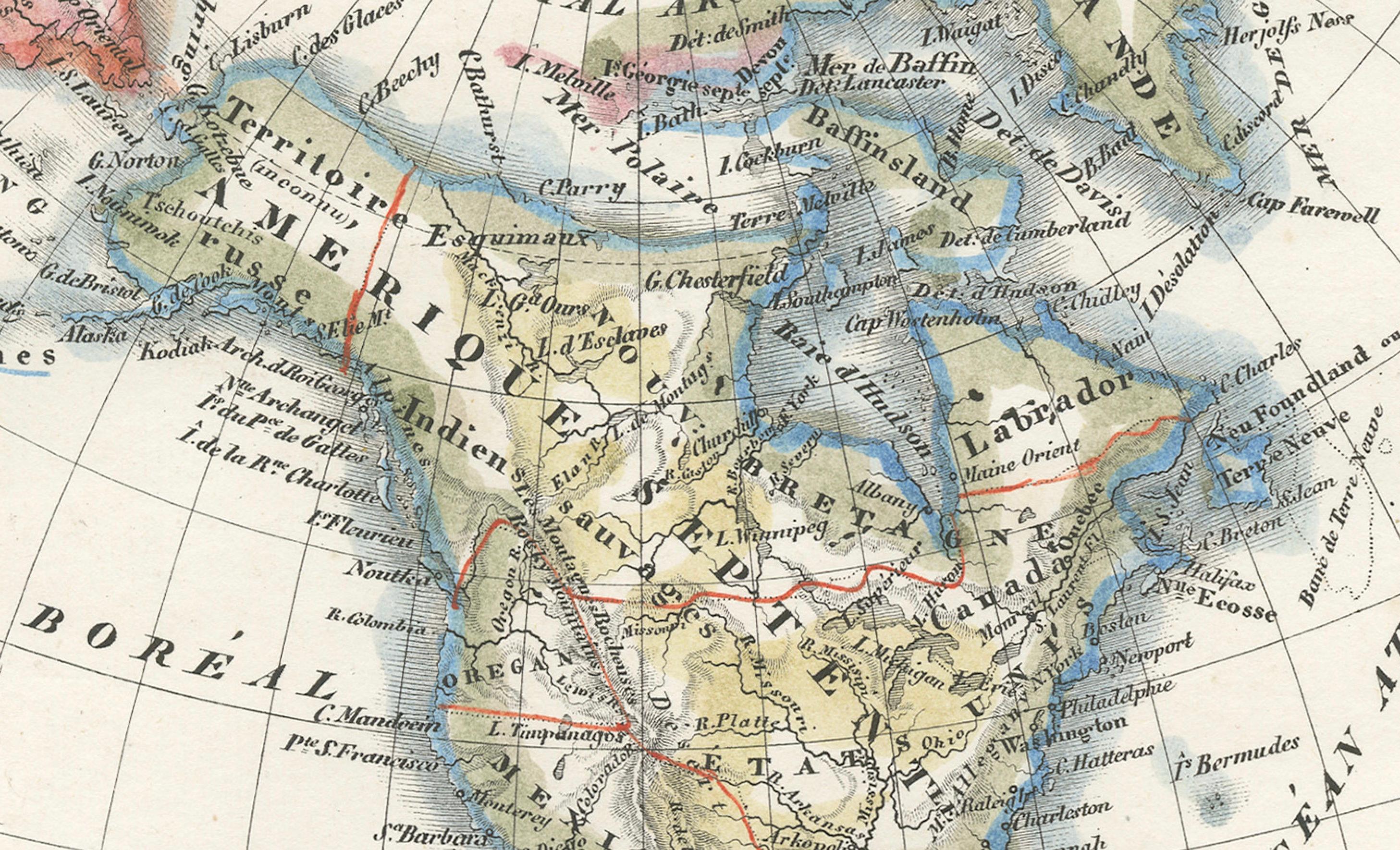
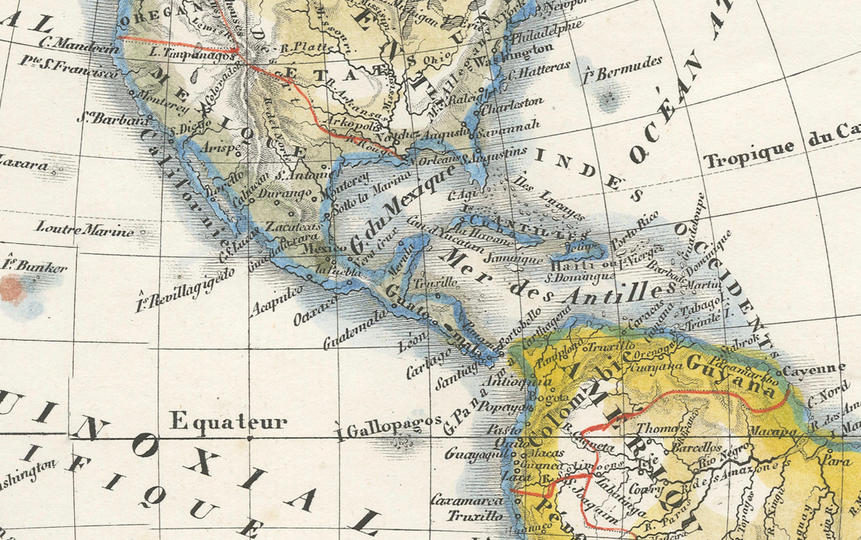
This beautifully engraved and delicately hand-colored map, titled Hémisphère du Nouveau Continent (Ouest), depicts the Western Hemisphere and was likely published around 1830 in France. It is part of a hemispherical world map set attributed to the renowned French cartographers Pierre Lapie or his son Alexandre Émile Lapie. The map showcases the Americas prominently, along with the Pacific Islands and parts of Oceania, in a finely balanced and circular projection.
Numbered "No. 6" in the top left corner, this map complements its companion *Hémisphère de l’ancien continent* and was probably issued in a geographical or educational atlas intended for a French-speaking audience. It offers a fascinating glimpse into the early 19th-century understanding of global geography and colonial influence.
North America is shown with evolving borders—many U.S. states are not yet delineated, and large areas are still labeled as territories or regions such as Louisiane and Mexique. Alaska is still shown as Territoire Russe, reflecting Russian control prior to the 1867 sale to the United States. Canada is referred to as Nouvelle Bretagne and Canada, and the Great Lakes are accurately mapped.
Central and South America are illustrated in rich detail. Brazil dominates the eastern portion of the continent, while the Andes run the length of the west coast. Countries such as "Pérou," "Chili," and "Nouvelle-Grenade" (New Granada, a former Spanish viceroyalty that included modern-day Colombia and surrounding nations) reflect the political divisions of the time, some of which were in flux following independence movements.
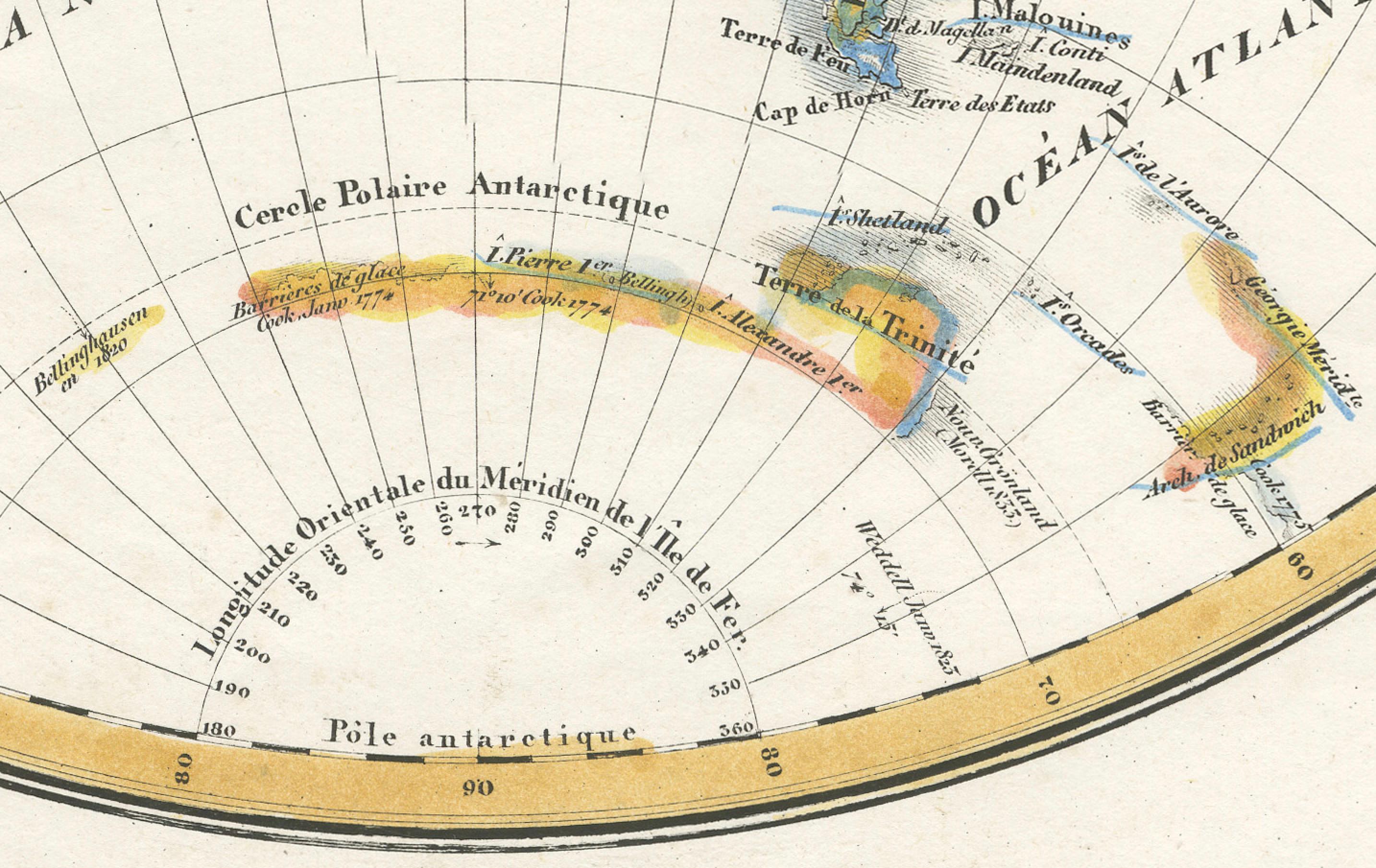
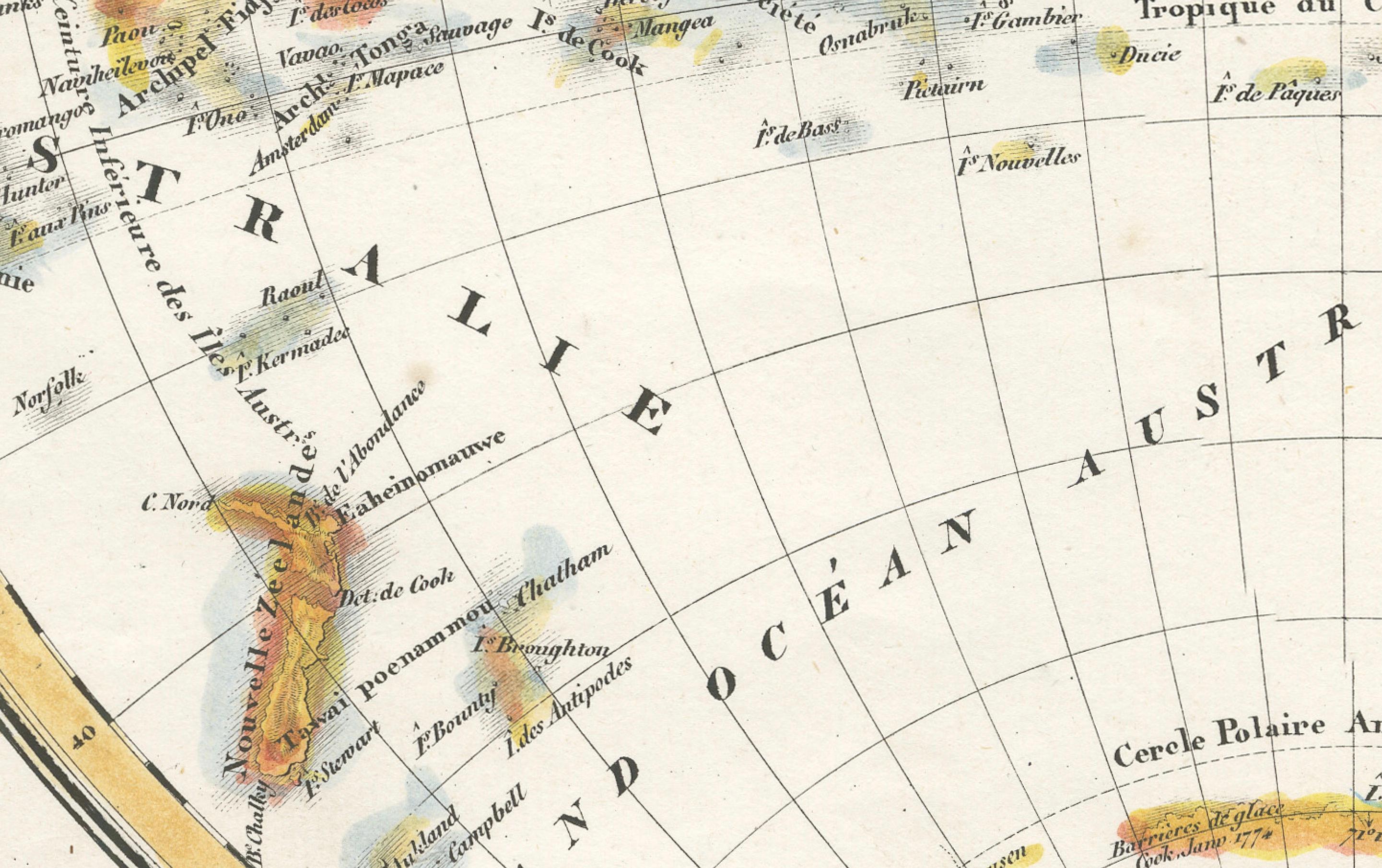
The Pacific region is richly detailed with many island groups such as the Marquesas, the Sandwich Islands (Hawaii), and the Society Islands marked. Australia is partially visible and labeled as "Nouvelle Hollande," emphasizing the transitional cartographic nomenclature of the era. The Antarctic region remains speculative, with vague outlines labeled “Cercle Polaire Antarctique” and references to recent expeditions and sightings.
Condition report:
Good condition. Original hand-coloring remains vibrant. Minor foxing in the margins, but the image area is clean and crisp. Wide margins and strong plate mark. No tears, repairs, or notable creases.
Framing tips:
To highlight the clarity and precision of the engraving, we recommend a soft ivory mat with a thin gold or black-and-gold neoclassical frame. For a sophisticated display, pair it with the matching Eastern Hemisphere map. Use UV-protective glazing to preserve the color and detail.