About this sheet
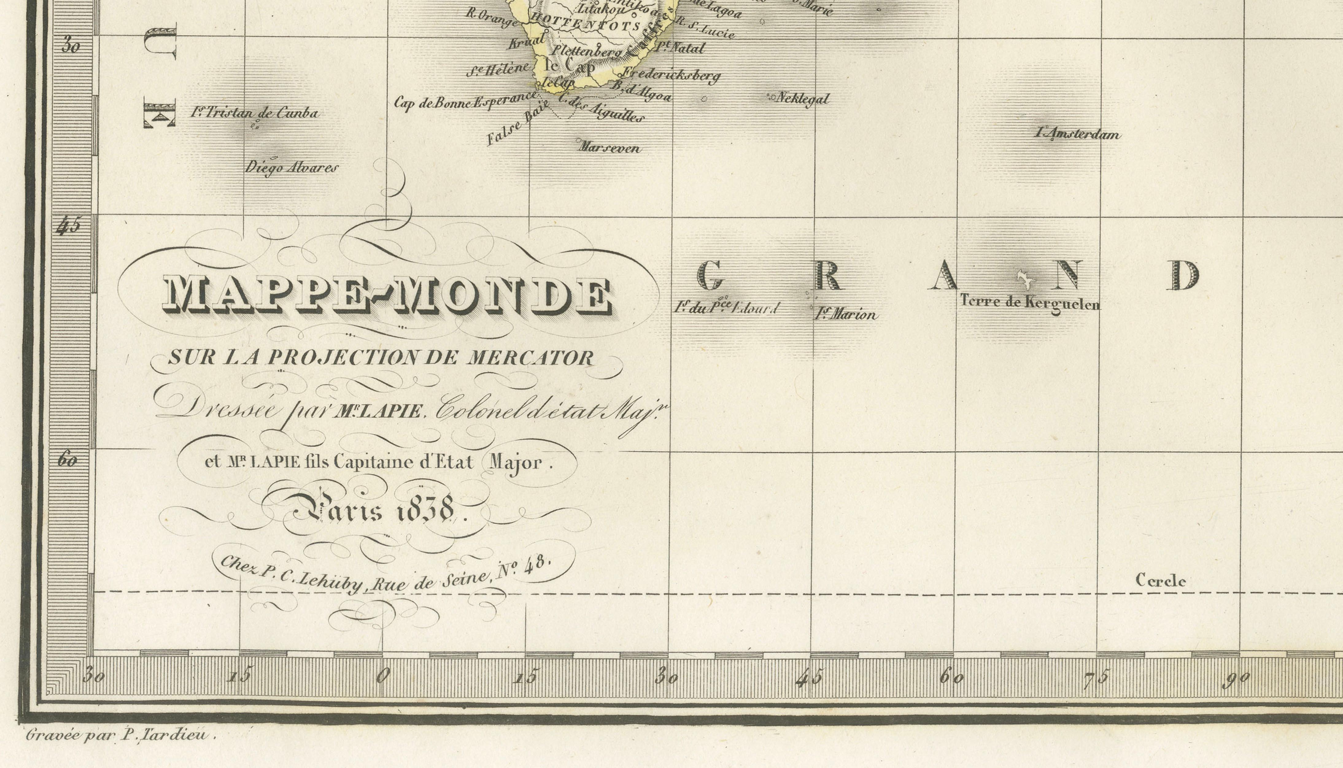
Antique World Map on Mercator Projection – Lapie, Paris, 1838

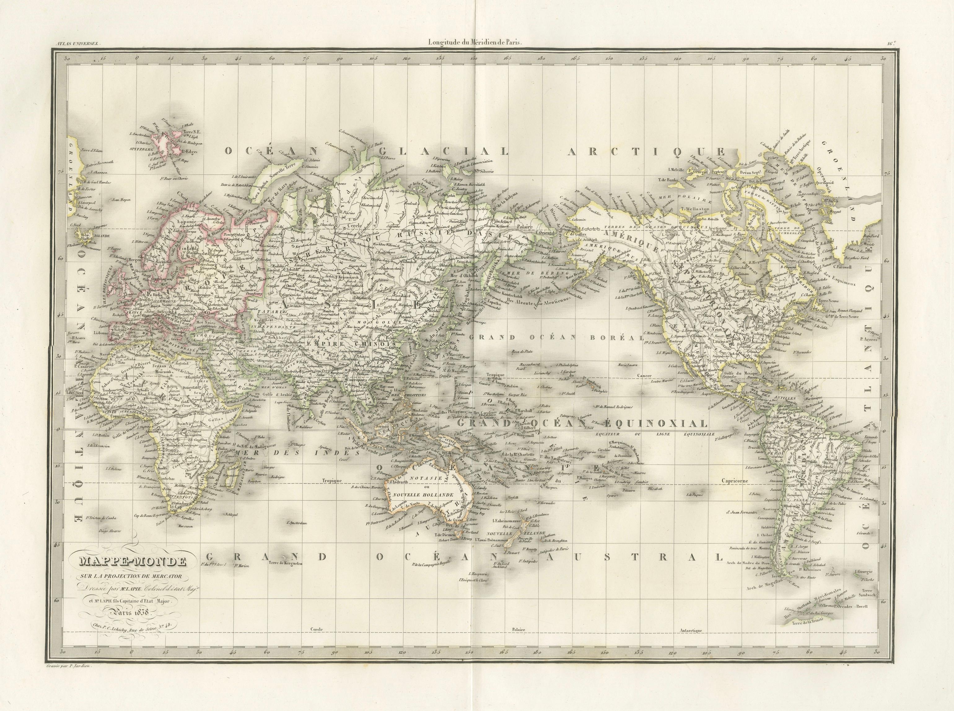
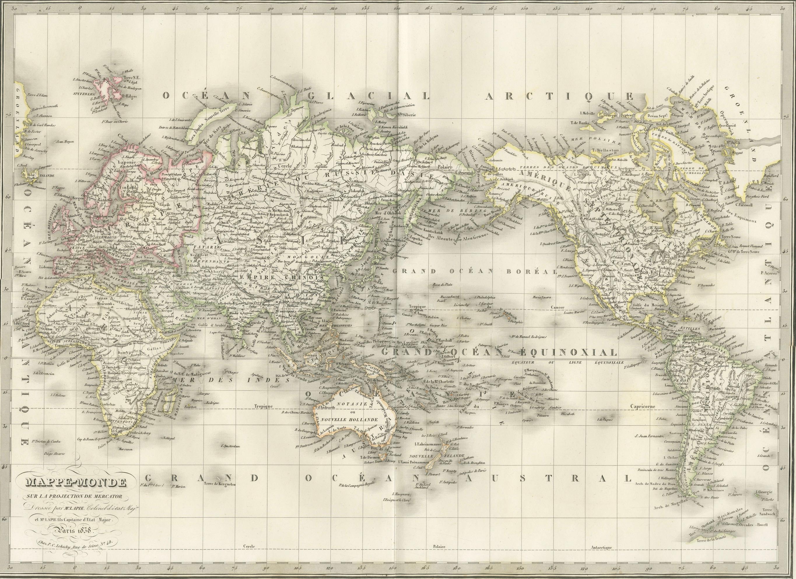
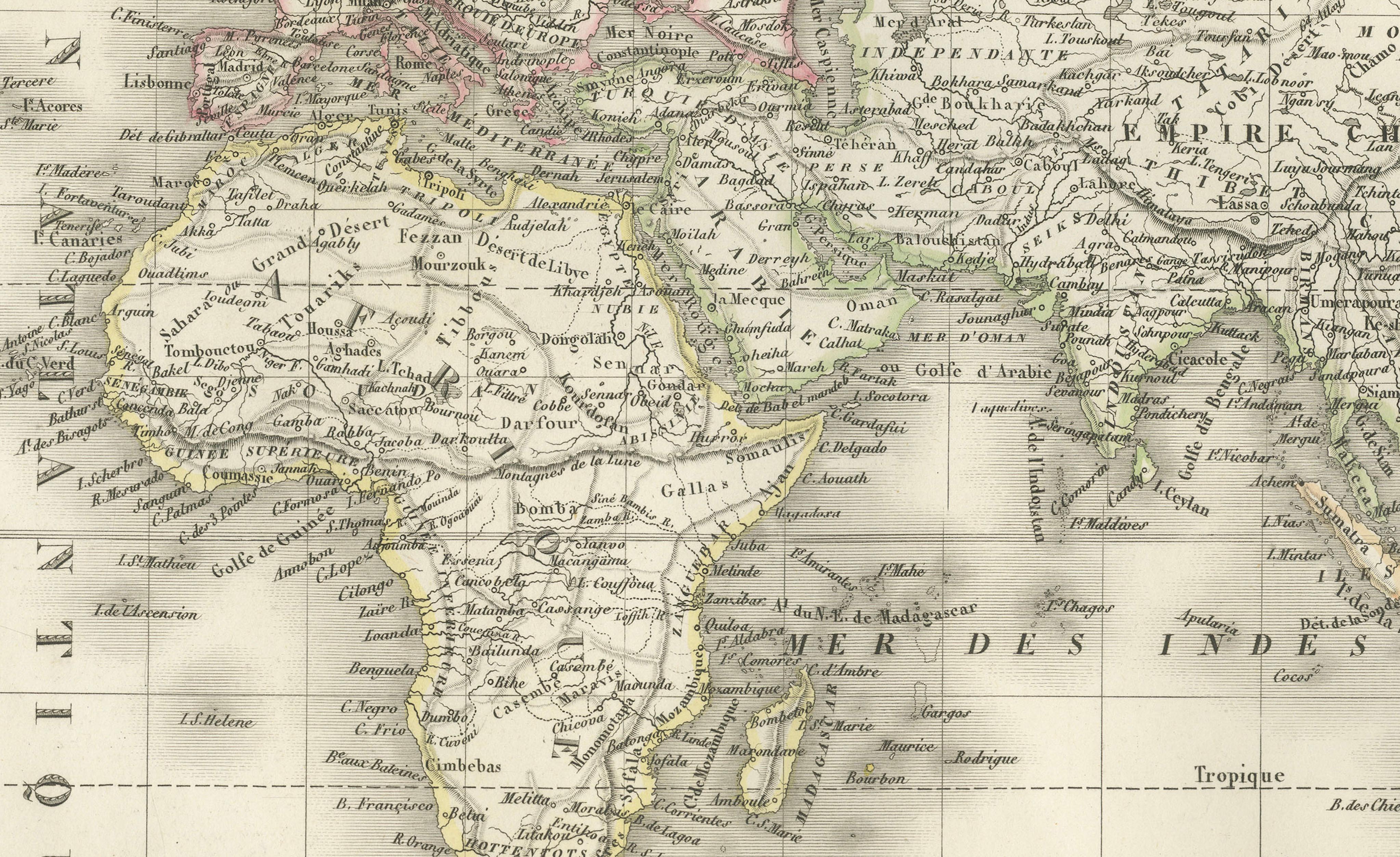
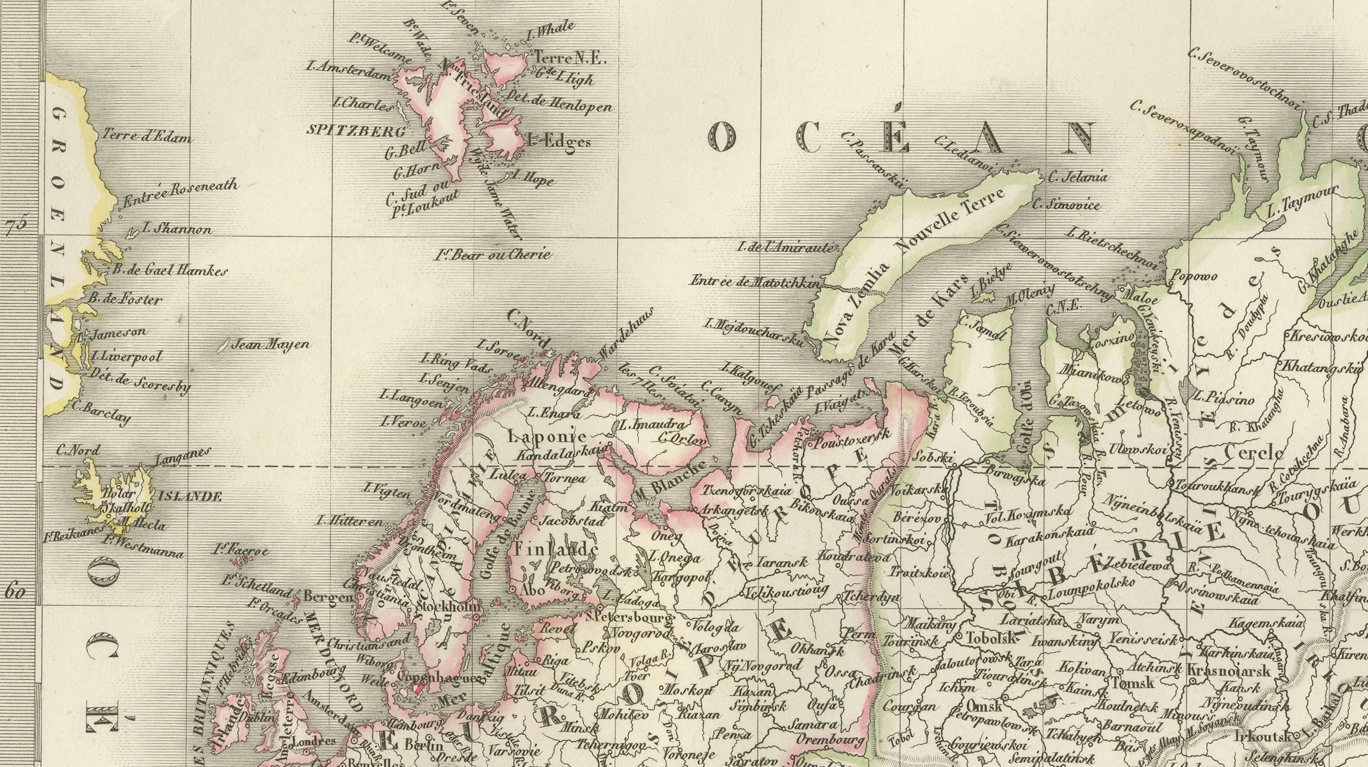
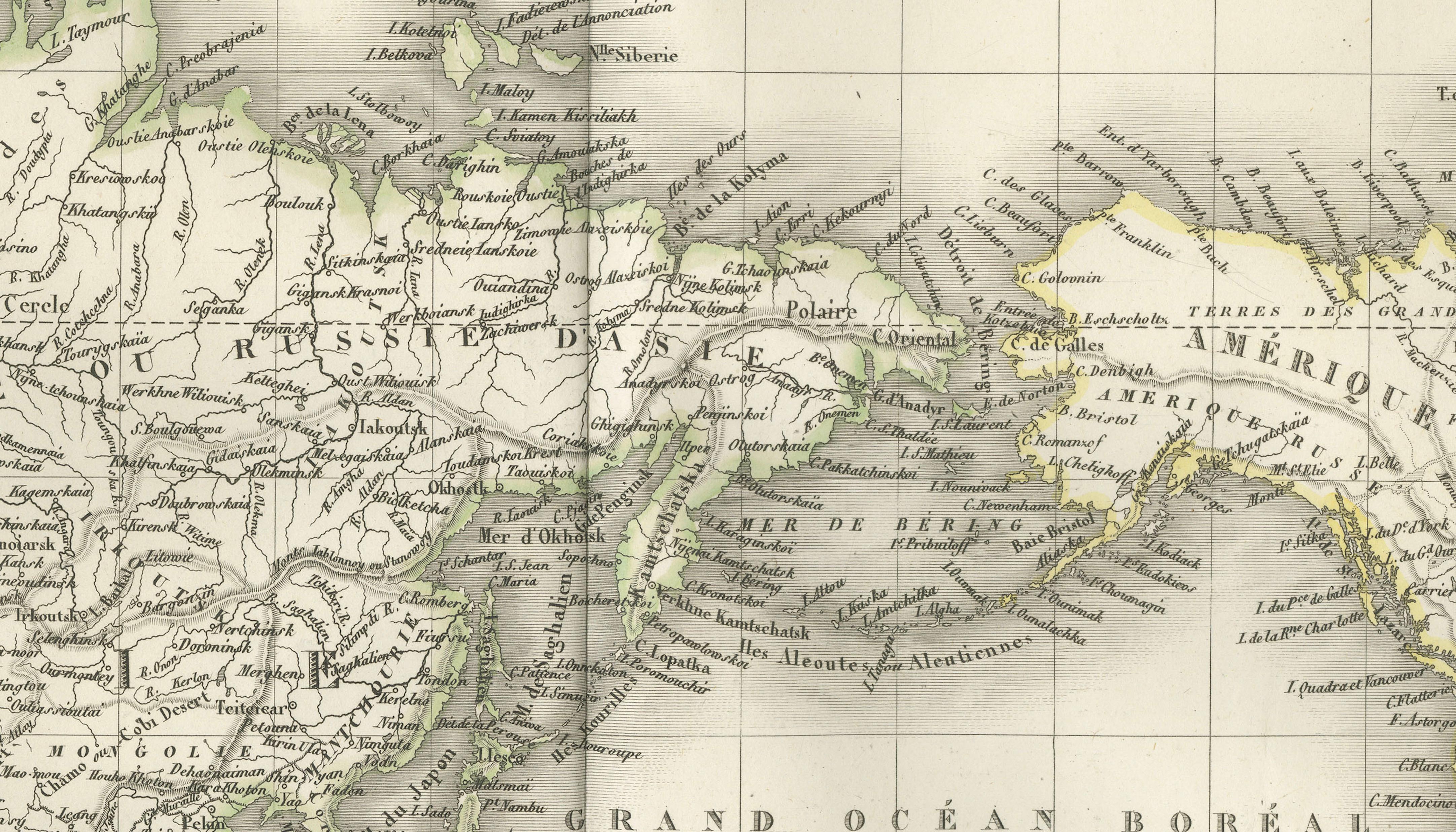
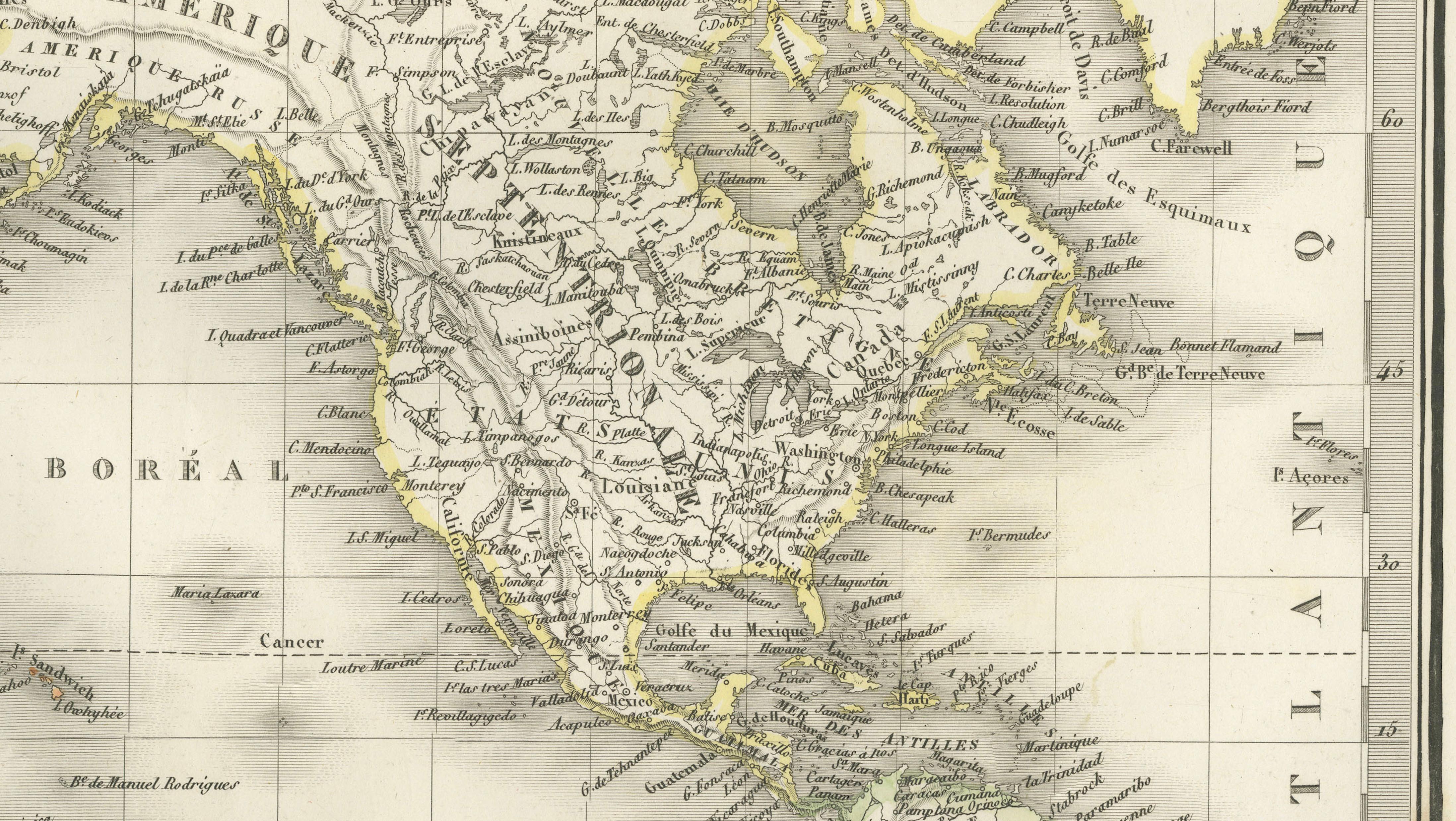
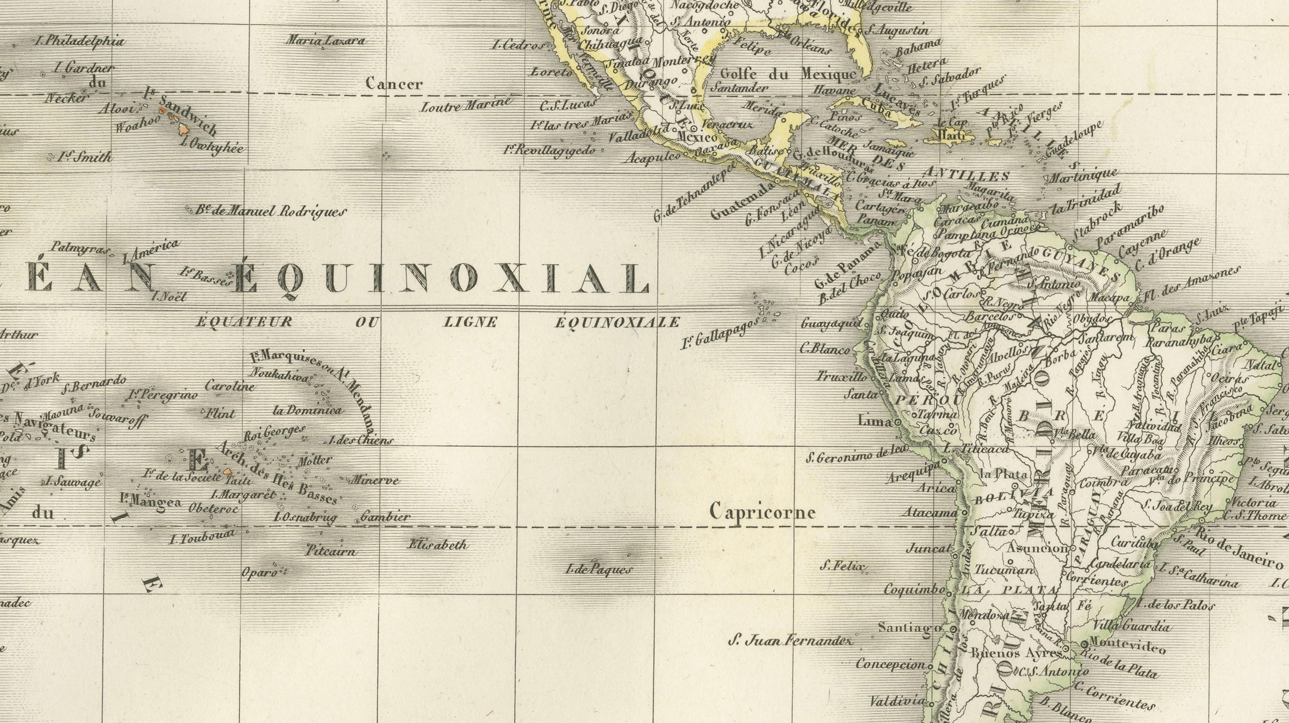
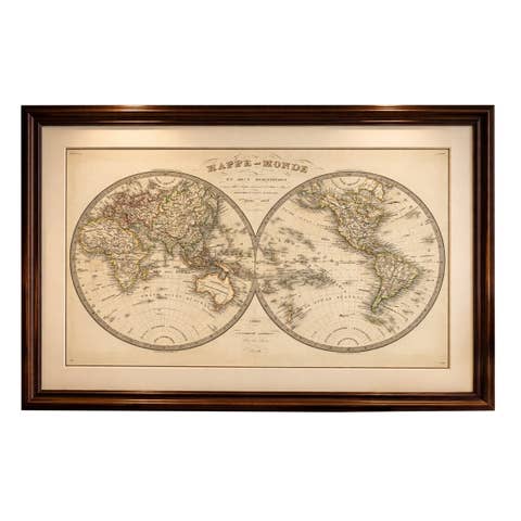
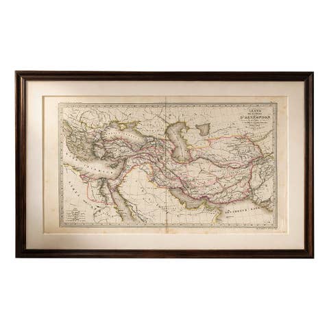
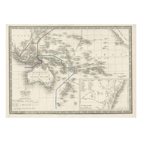
This elegant and finely engraved world map was published in Paris in 1838 as part of the renowned Atlas Universel de Géographie Ancienne et Moderne by the distinguished French cartographer M. Lapie. Executed on a Mercator projection, the map presents a comprehensive and refined view of the known world during the early 19th century, a period marked by expanding geographic knowledge and global exploration.
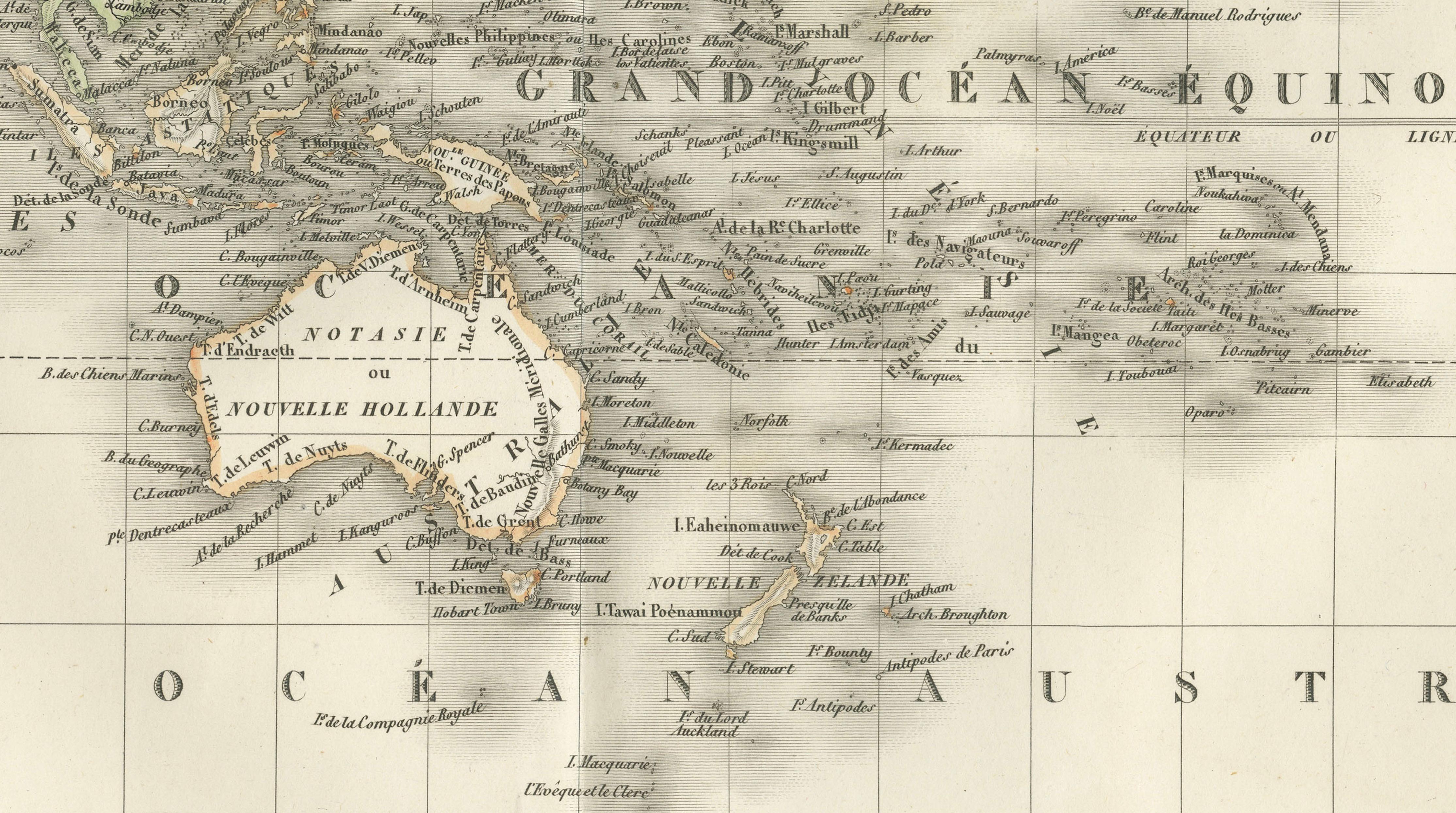
The composition spans all continents, from the Americas on the right to Europe, Africa, and Asia on the left, extending across the Pacific to include Australia and the islands of Oceania. The map reflects the geopolitical understanding of the time, with clearly delineated national and regional boundaries enhanced by subtle original hand coloring. Colonial territories, trade routes, and major cities are carefully indicated, offering insight into the global structure of power and commerce in the decades following the Napoleonic era.
The Mercator projection allows for accurate navigation and maritime use, emphasizing coastlines and oceanic expanses. Oceans are labeled with classical terminology such as Grand Océan and Océan Glacial Arctique, reinforcing the scholarly tone of the atlas. The engraving is richly detailed yet balanced, with fine hachuring used to indicate terrain and coastal relief, while maintaining clarity across the expansive surface.
The map was engraved by Pierre Antoine Tardieu, a member of the celebrated Tardieu family of French engravers. His precise and delicate linework ensures excellent legibility and contributes to the overall elegance of the sheet. The restrained hand coloring highlights political divisions without overwhelming the composition, resulting in a harmonious and visually sophisticated map.
As both a historical document and a decorative object, this world map holds strong appeal. It is particularly suited for display in a study, library, or interior with a classical or academic aesthetic, where its scale and detail can be fully appreciated. The horizontal format makes it an ideal centerpiece above a desk, console, or mantel.
Note: This map is an original antique engraving and not a reproduction. It is offered unframed. Frame shown for presentation purposes only.
Condition: Very good condition overall. Light toning consistent with age and a central vertical fold as issued. Margins are wide and clean. Minor spotting visible, mainly in the outer margins. No significant tears or restorations observed. Plate mark visible.
Framing tips: This map would present beautifully in a wide dark walnut or ebonized frame with a generous ivory mat to emphasize its scale and classical tone. For a more contemporary interior, a slim black frame with a floating mount can create a clean and refined gallery presentation.
Technique: Engraving with original hand coloring
Maker: M. Lapie, engraved by Pierre Antoine Tardieu, Paris, 1838
Keywords: world map, Mercator projection, global map, 19th century world, Europe, Asia, Africa, Americas, Australia, Oceania, Pacific Ocean, Atlantic Ocean, Arctic Ocean, colonial world, historical cartography, French cartography, Atlas Universel, Lapie map, Tardieu engraving, antique world map, decorative world map, engraved map France, hand-colored engraving, antique geography print