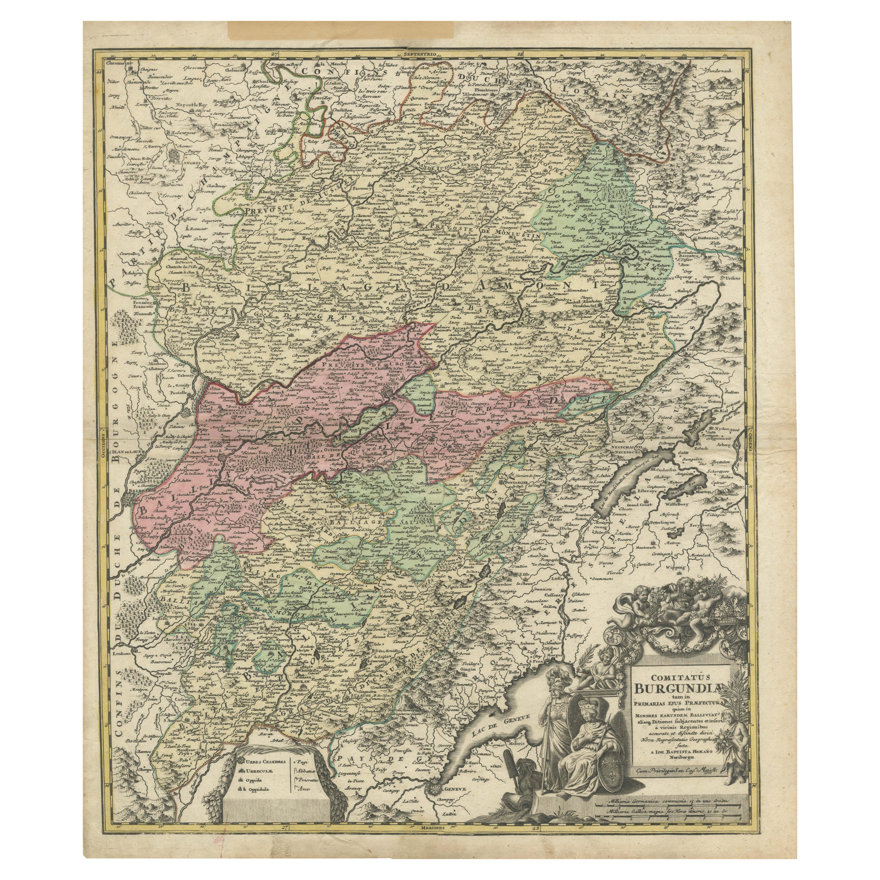
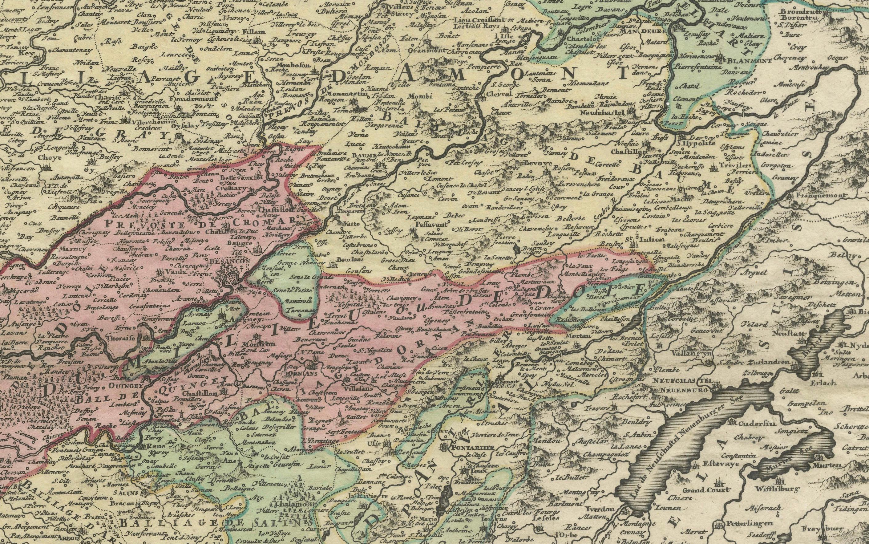
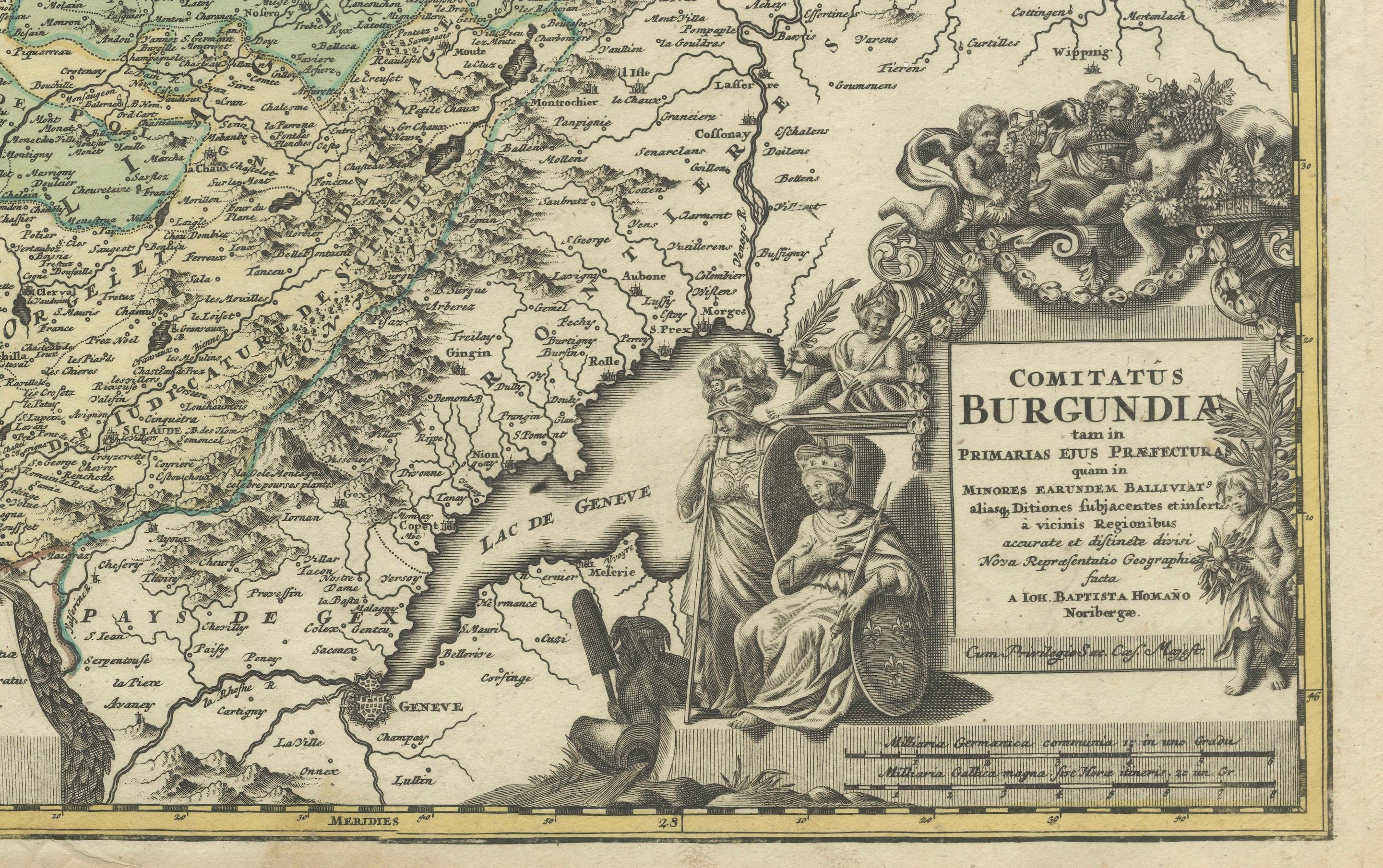
Antique Map of the County of Burgundy by Johann Baptist Homann circa 1710
€ 440
One of a kind: this is the sheet in the photographs. Ships from Langweer, the Netherlands.
Date
1710
Sheet size
61 × 52 cm (24.0 × 20.5 in)
Condition
Fair
Reference
BG-13659-2
Condition
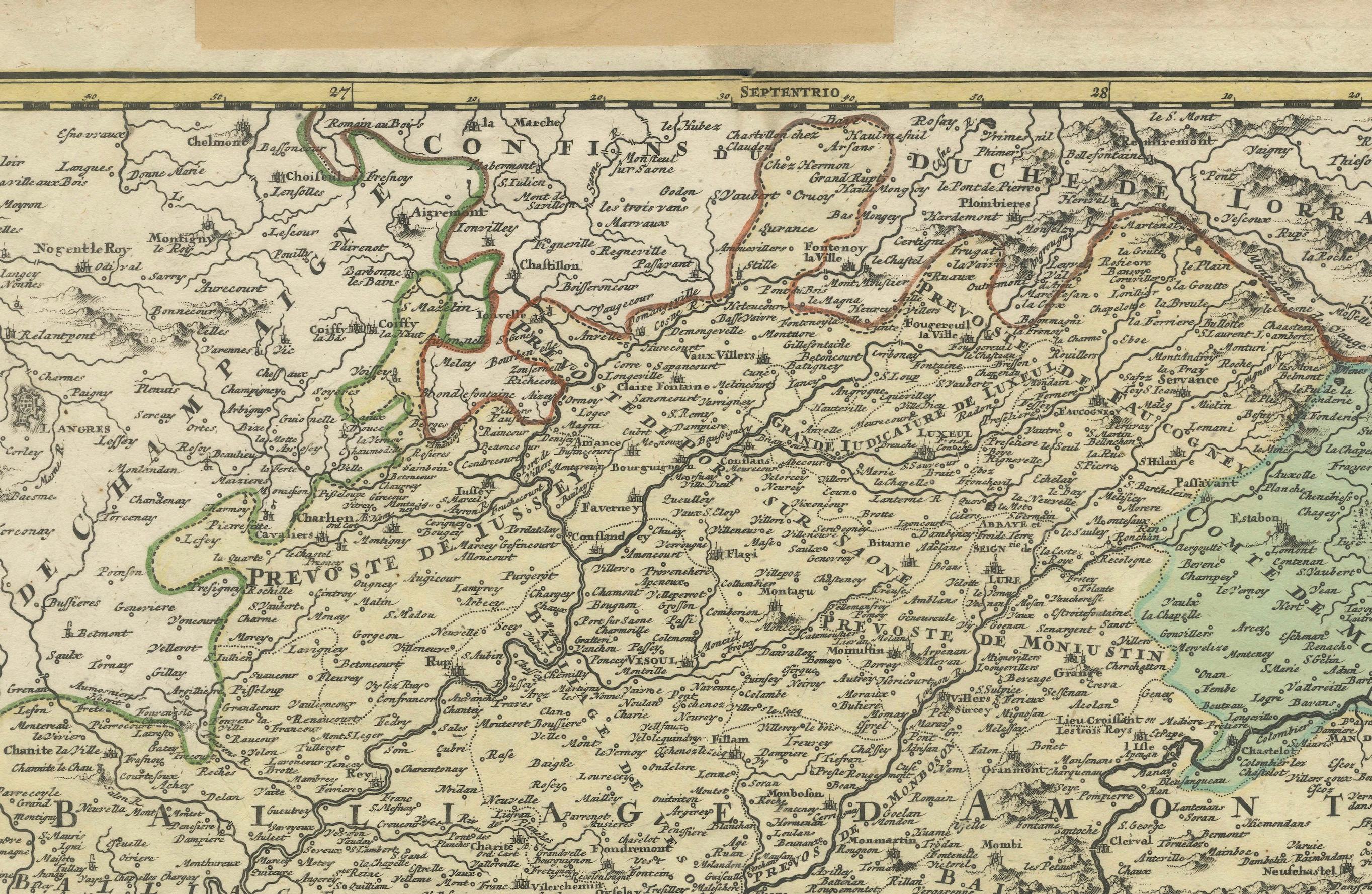
Repaired: some support along the edge with tape. The condition reflects its age, with gentle toning, slight foxing, mild edge wear and wrinkles. Tape support in the top border. Details remain legible, and the coloring and engraving are still clear.
About this sheet
Antique Map of the County of Burgundy by Johann Baptist Homann circa 1710 Hand-Colored
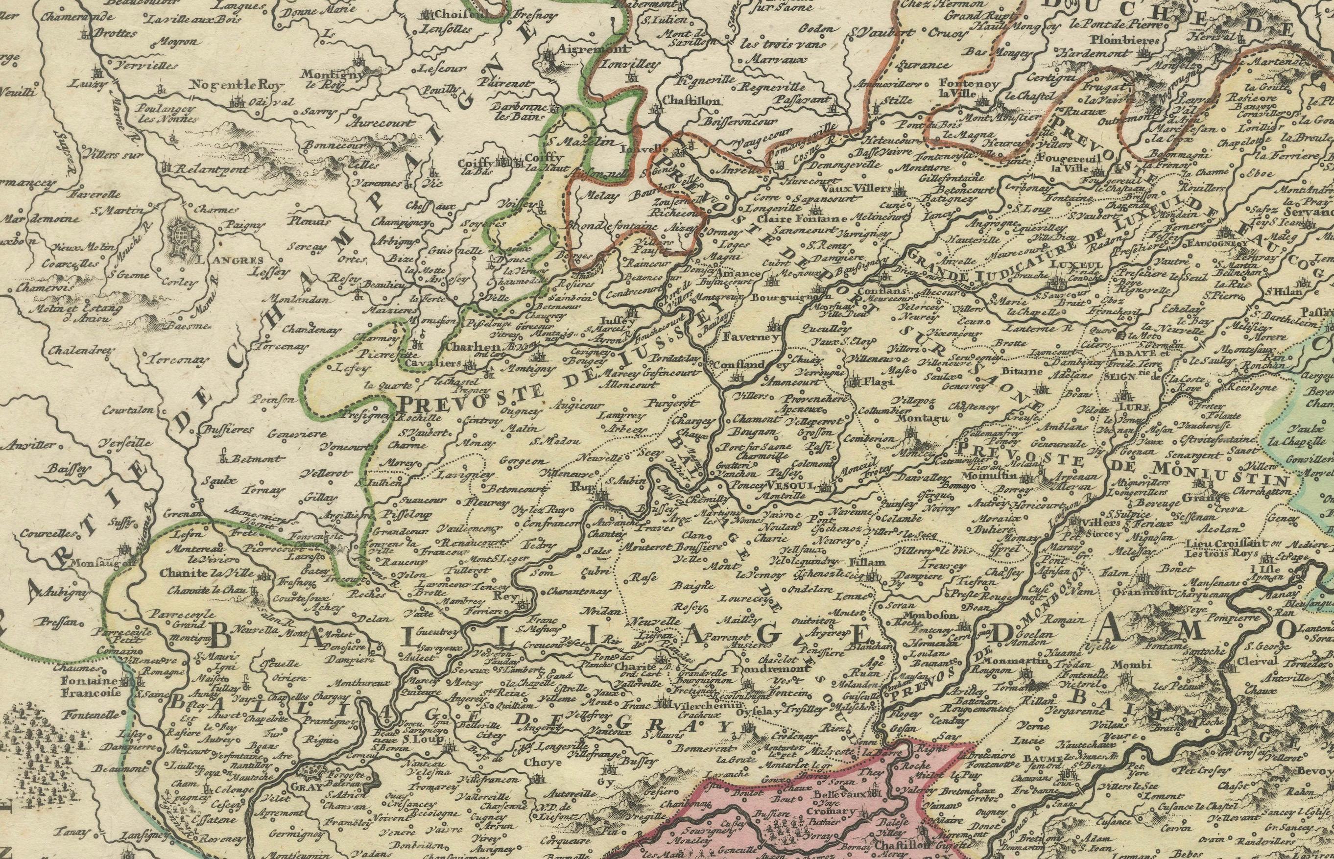
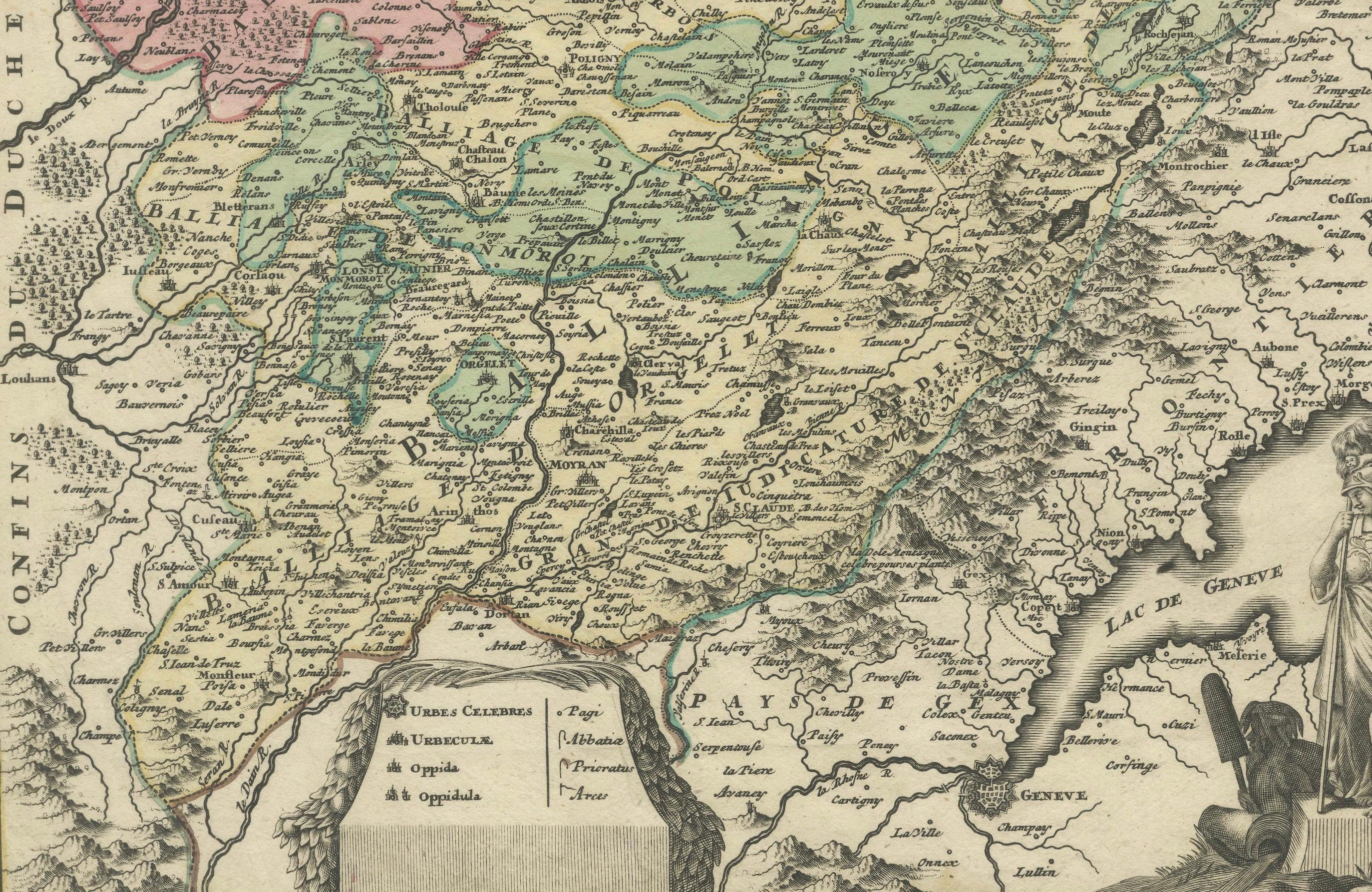
This finely detailed antique map titled Comitatus Burgundia depicts the historic region of the County of Burgundy, also known as Franche-Comté, in eastern France. Created by the prominent German cartographer Johann Baptist Homann in the early 18th century, this copper-engraved map presents an intricate representation of the area, including its cities, rivers, mountains, and road networks. The original hand-coloring highlights the territorial divisions, distinguishing the major administrative regions within Franche-Comté.
The elaborate title cartouche in the lower right corner features allegorical figures, a seated noblewoman, military iconography, and a reference to the Holy Roman Empire, reflecting the political significance of the region at the time. The map also shows parts of the surrounding regions, including Switzerland, the Duchy of Burgundy, and Lorraine. The inclusion of Lake Geneva and the Jura Mountains adds to the geographical depth of the depiction. Homann’s work was widely regarded for its precision and artistic quality, making this map an important historical artifact for collectors and scholars interested in early French and European cartography.
Condition summary
This antique map is in fair to good condition with well-preserved original hand coloring that enhances the territorial distinctions. The paper has developed a natural patina, consistent with its age, and shows light age toning, particularly along the margins. Minor foxing and small stains are present, but they do not interfere with the detailed engraving. The edges show slight wear, including some creasing and small tears, typical of maps from this period. The central fold is visible, as expected from an atlas map, but remains intact with no major separations. The engraved details and inscriptions remain sharp and legible, preserving the historical and artistic value of the piece.
Framing tips
To ensure the proper preservation and presentation of this antique map, it is recommended to use archival materials. UV-protective glass or acrylic will safeguard the hand coloring from fading over time. Acid-free matting in neutral or antique tones will help highlight the fine details and provide protection against environmental damage. A classic wooden frame with a dark-stained or gilded finish will complement the historical character of the map. Museum-grade mounting techniques should be employed to prevent any adhesive damage, ensuring the longevity of this valuable historical document. This map serves as an excellent decorative and scholarly addition to any collection, offering insight into the political and geographical landscape of early 18th-century Burgundy.