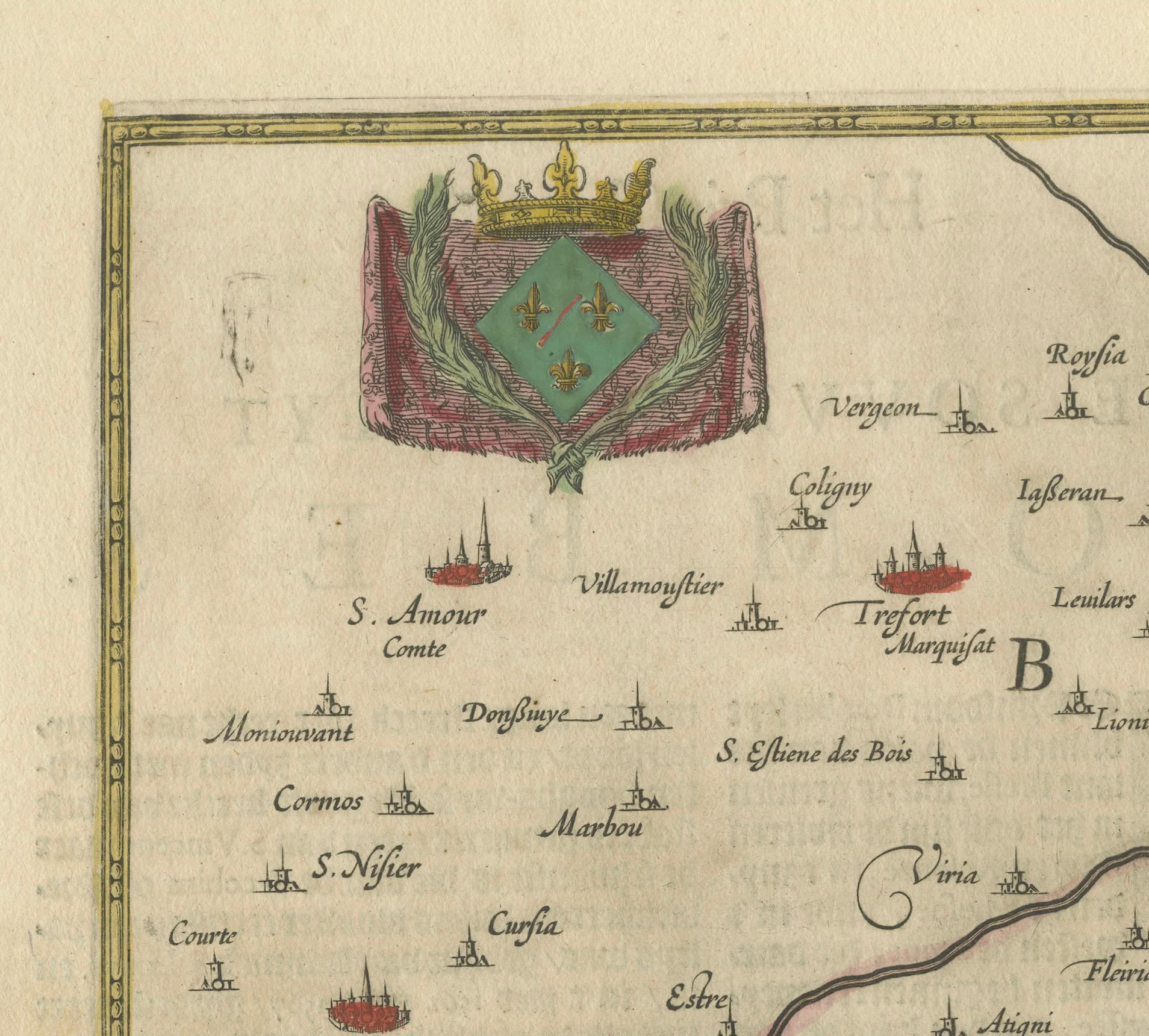
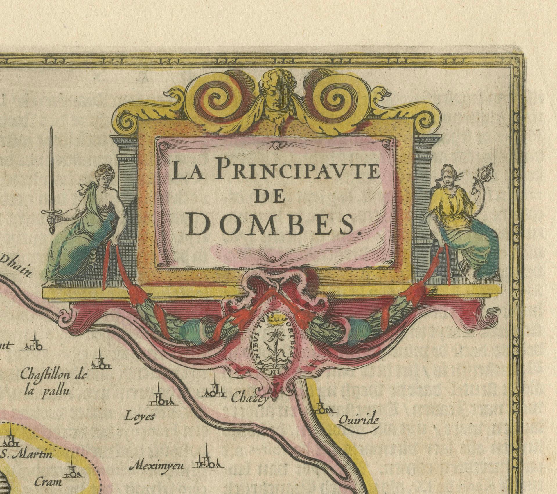
The Principality of Dombes: A 17th-Century Cartographic Jewel by Jan Jansson
€ 560
One of a kind: this is the sheet in the photographs. Ships from Langweer, the Netherlands.
Sheet size
48.7 × 56 cm (19.2 × 22.0 in)
Condition
Good
Reference
BG-13704-1
Condition
given age, general age-related toning to the sheet edges, some small spots. Folding line as issued and some light offset. Dutch text on the reverse. Please study scan carefully.
About this sheet
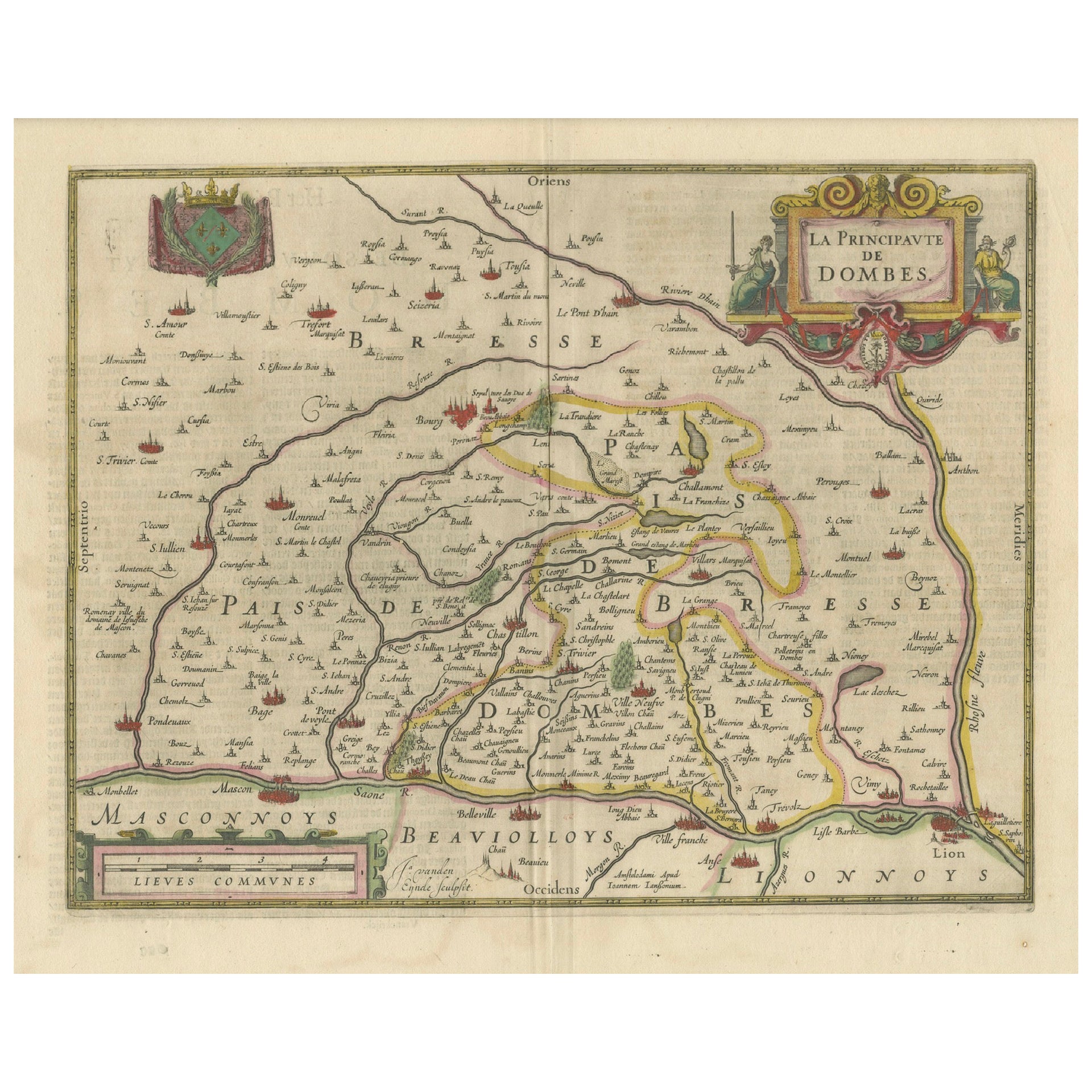

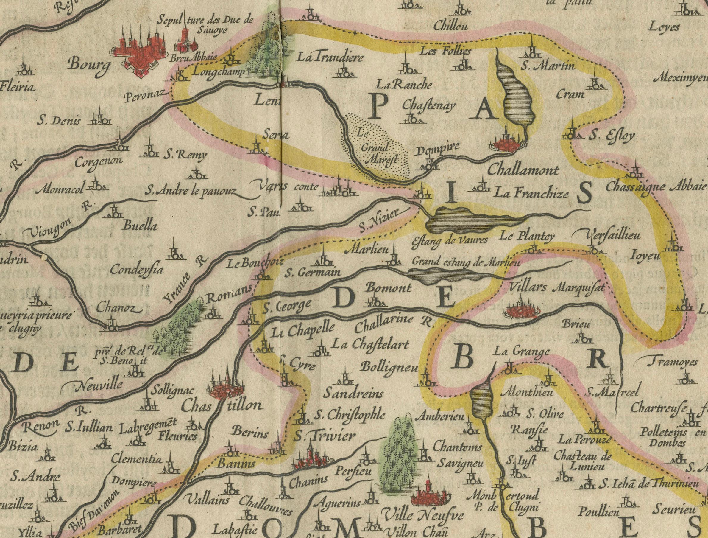
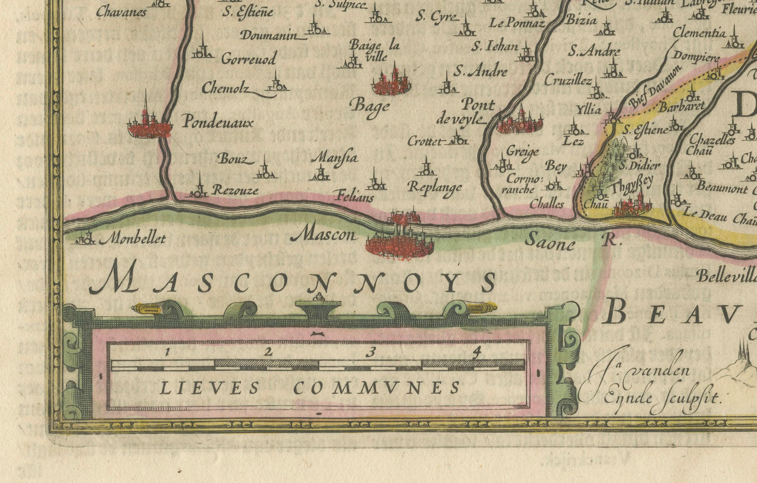
The text on the map "La principaute de Dombes; J. van den Eynde sculpit.; La Principavte de Dombes" indicates that it is a map of the principality of Dombes, engraved by J. van den Eynde (which is a Latinized name, standing for Jan van den Ende, a known engraver of the time). The map was published by Johannes Jansonius, more commonly known as Jan Jansson or Johann Jansson in Amsterdam. Jan Jansson was a famous Dutch cartographer and publisher active in the 17th century.
This original antique map has old hand-coloring on printed on strong hand pressed paper.
The Dombes region is located in what is now the eastern part of France, within the larger Auvergne-Rhône-Alpes administrative region. It is situated northeast of Lyon and is known historically for its unique form of government as a principality. Today, the area is recognized for its natural beauty, including the Dombes plateau, which is famous for its thousand ponds that have a significant ecological importance for birdlife, making it a popular spot for birdwatching.
Given that Jan Jansson lived from 1588 to 1664, the map would have been published sometime within his active years. Jansson's maps are often dated to the first half of the 17th century.
This region is also known for its historical significance. The Dombes had its own parliament and monetary system, and it was a sovereign principality until it was ceded to France in 1762.