Antique Map of the Empire of the Great Mogol and the Kingdom of Kachimere
€ 580
One of a kind: this is the sheet in the photographs. Ships from Langweer, the Netherlands.
Sheet size
46.5 × 53.3 cm (18.3 × 21.0 in)
Condition
Good
Reference
BG-13504-6
Condition
General age-related toning. Original folding line with small splits. Shows some wear and soiling. Few small tears in margins. Blank verso. Please study image carefully.
About this sheet
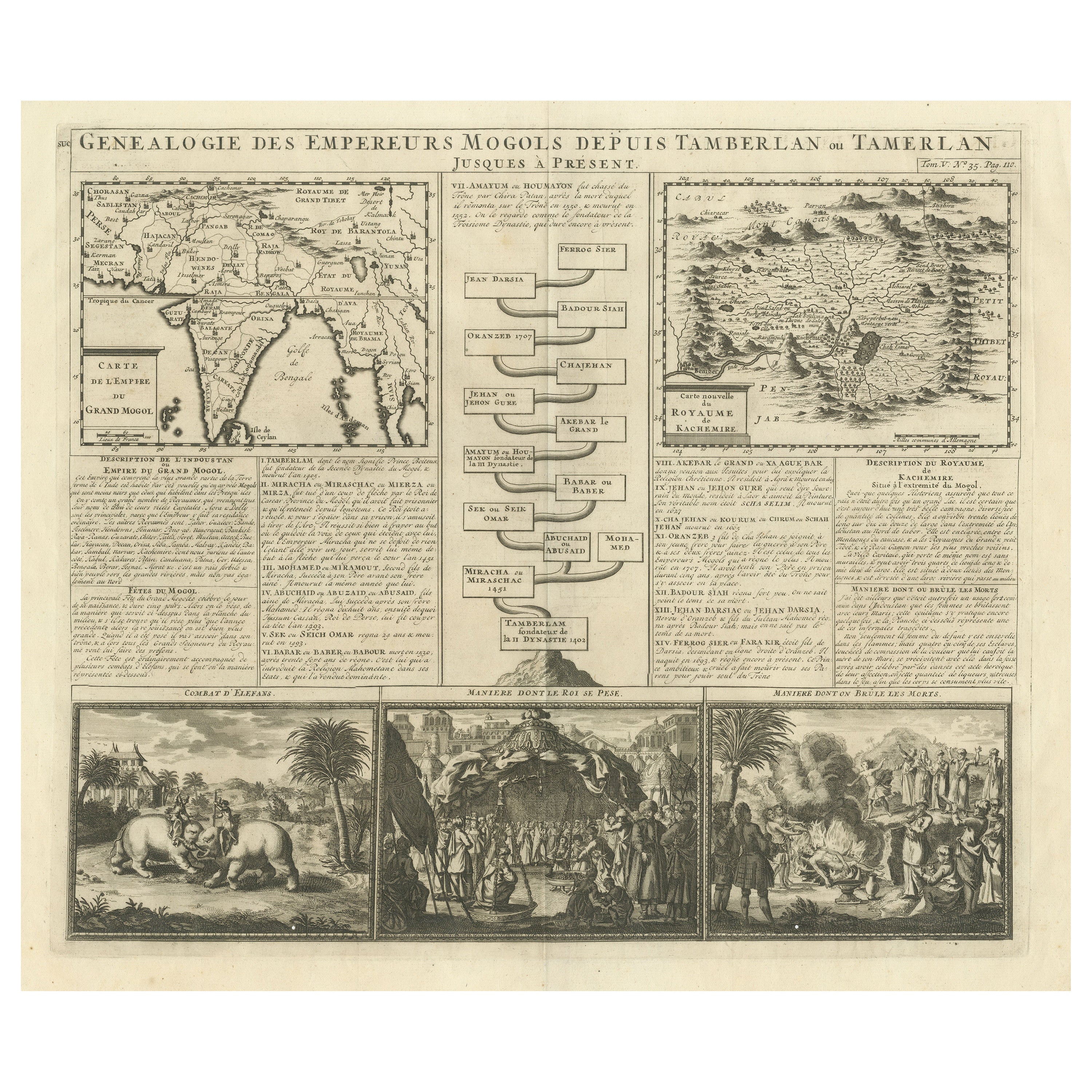
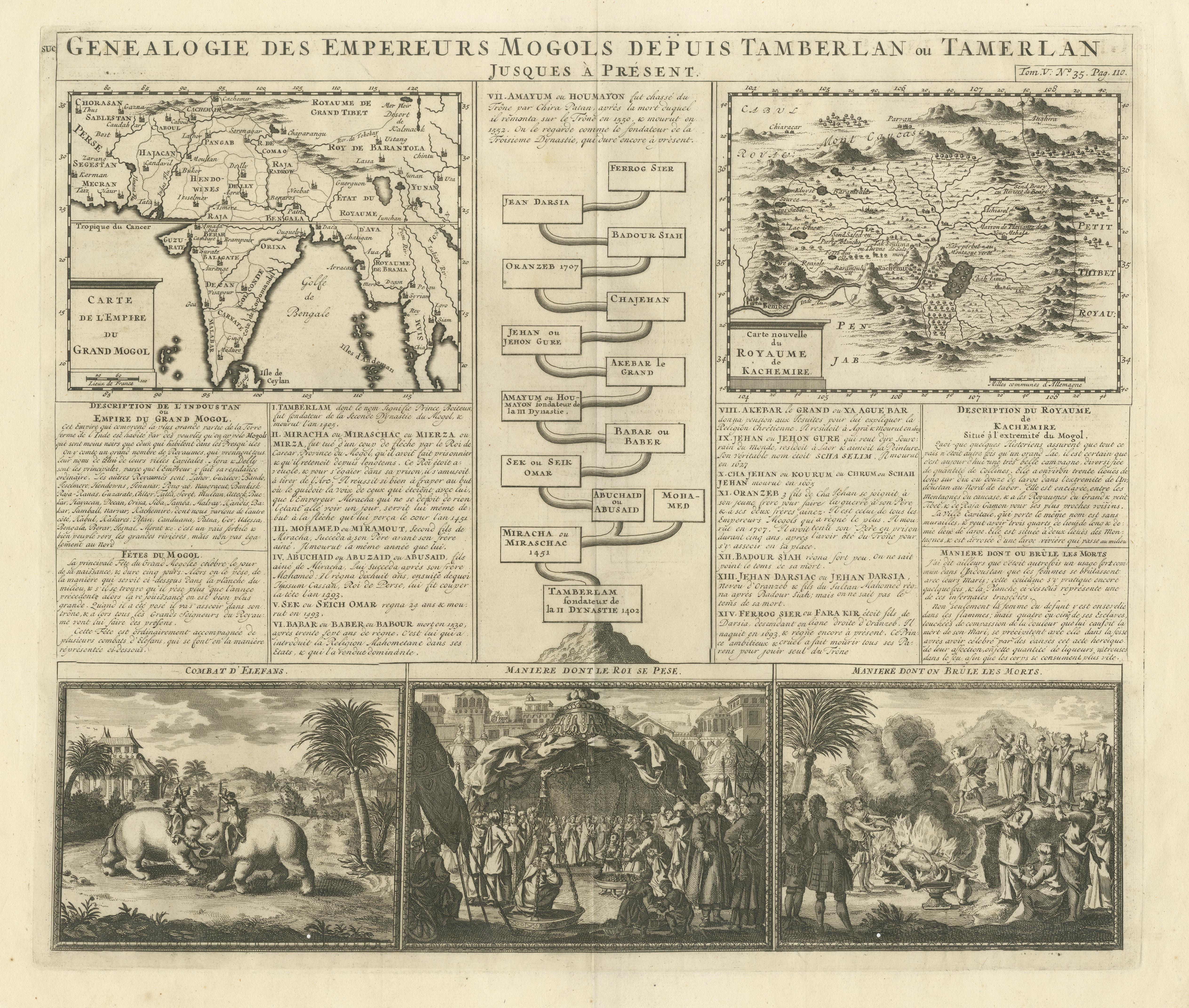
Antique map titled 'Genealogie des Empereurs Mogols depuis Tamberlan ou Tamerlan'. Two maps, a genealogical tree and three indigenous views of the Mogol Empire on one sheet with descriptive text. The upper maps show the Empire of the Great Mogol and the Kingdom of Kachimere. The center includes a tree showing the Mogol Dynasty, beginning with Tamberlan in 1402 and ending with Ferrog Sier. At the bottom, three engraved views show indigenous scenes of the Mogol Empire, including 2 combatants on Elephants, a scene in the Royal Court, and the custom of Burning the Dead. Originates from Chatelain's 'Atlas Historique'. Published circa 1712.
Henri Abraham Chatelain (1684-1743), his father Zacharie Chatelain (d.1723) and Zacharie Junior (1690-1754), worked as a partnership publishing the Atlas Historique, Ou Nouvelle Introduction A L'Histoire under several different Chatelain imprints, depending on the Chatelain family partnerships at the time of publication.