About this sheet
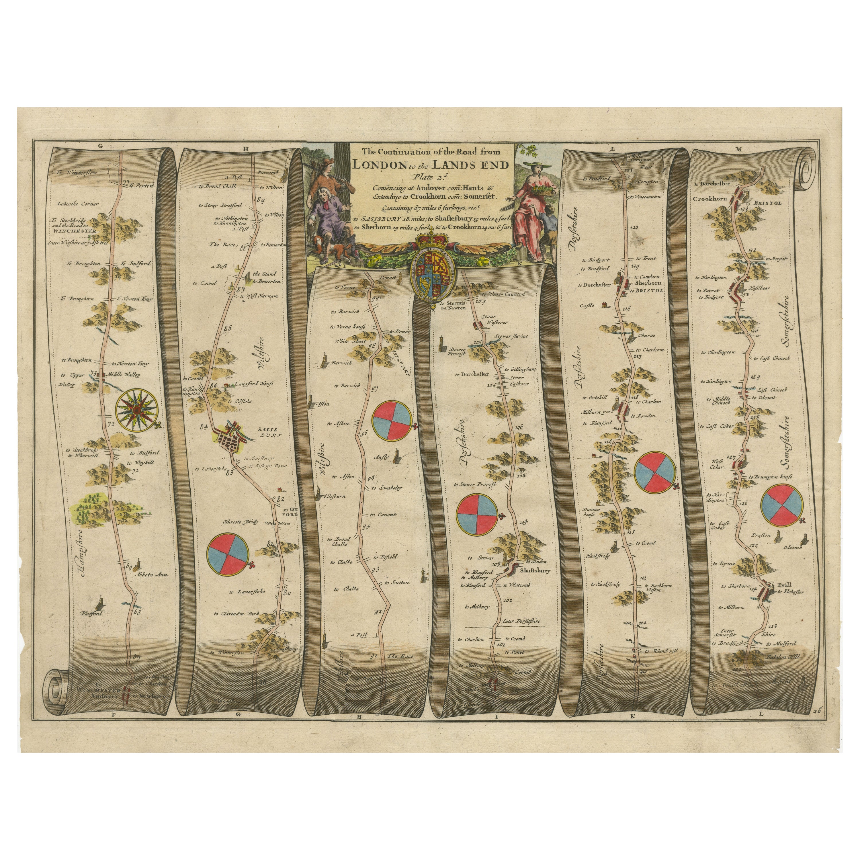
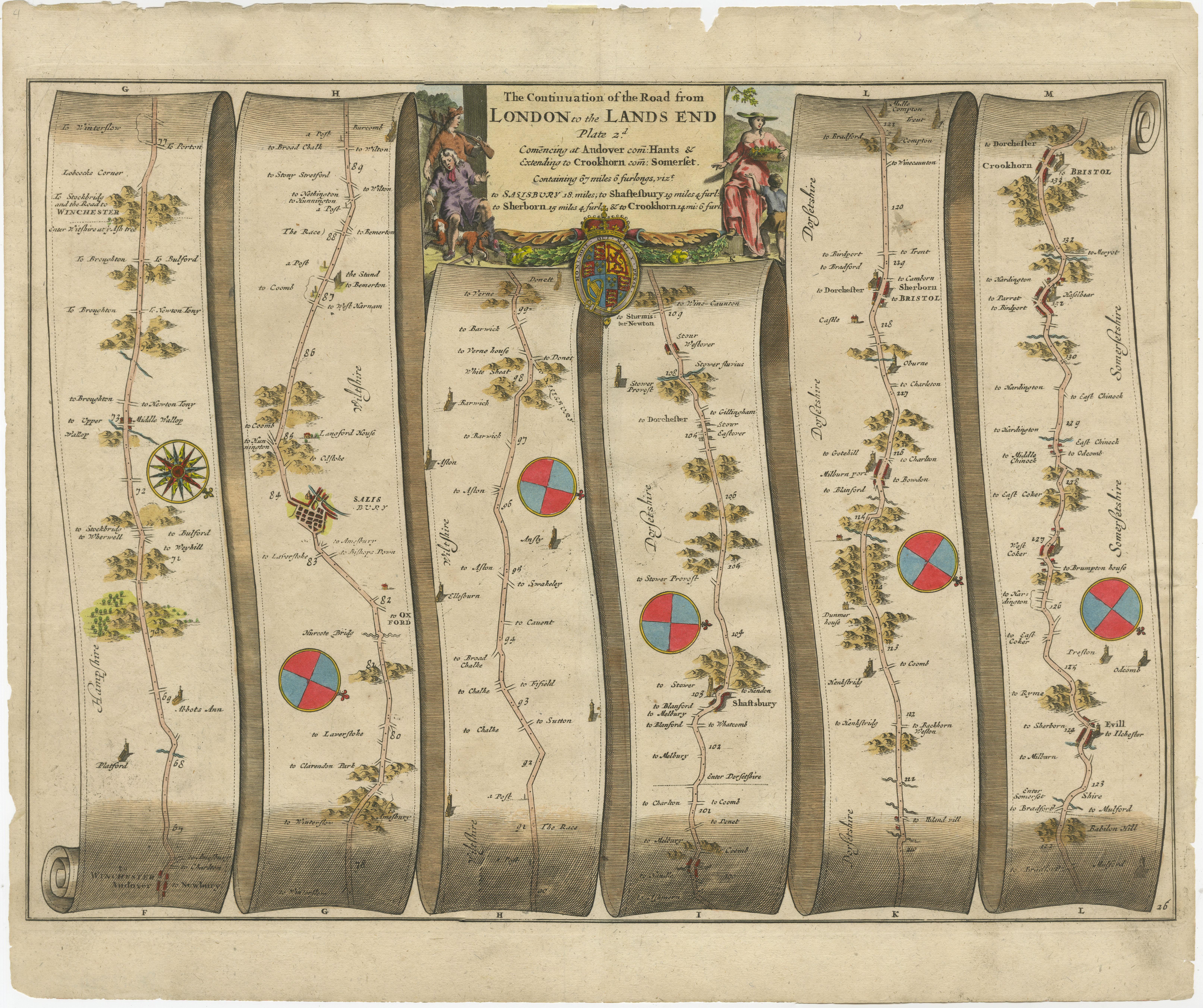
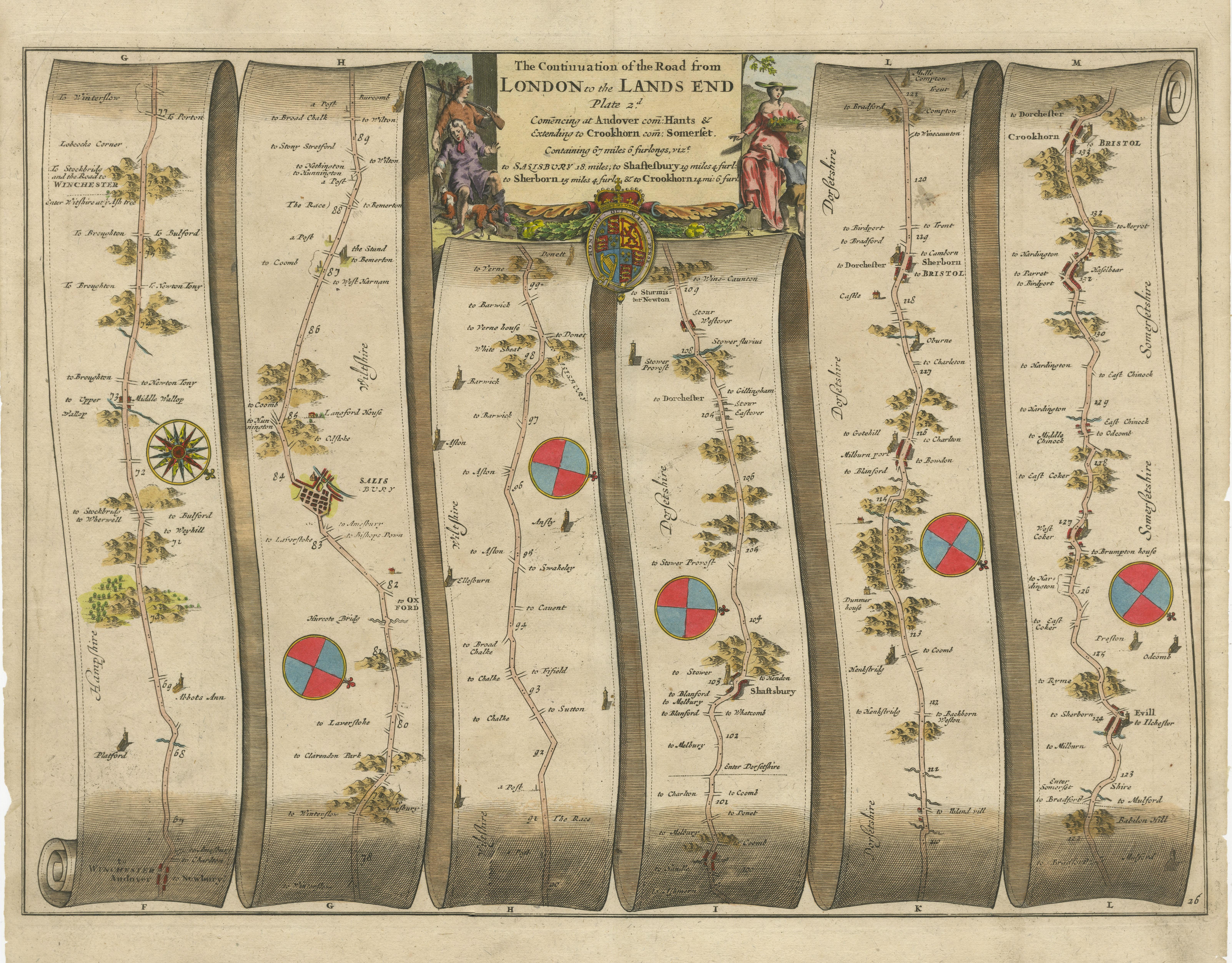
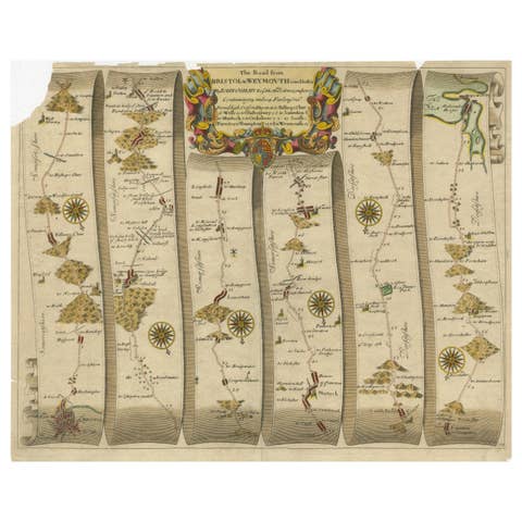
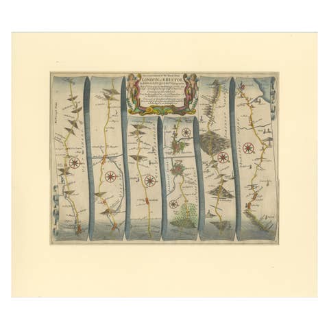
Antique map titled 'The Continuations of the Road from London to the Lands End'. Original antique map of the road from Andover to Crewkerne. Plate 26 from Ogilby's 'Britannia', the first national road-atlas of any country in Western Europe. It was composed of maps of seventy-three major roads and cross-roads, presented as trompe-l'oeil scrolls, each with a decorative title cartouche, in this case rustic figures. It was the first English atlas on a uniform scale, at one inch to a mile, and the 'mile' Ogilby used became the national standard, the statute mile of 1,760 yards. Ogilby claimed that 26,600 miles of roads were surveyed in the course of preparing the atlas, on foot using the surveyor's wheel depicted in the cartouche, but only about 7,500 were actually depicted in print. It was only after the 'Britannia' that roads started being shown on county maps.