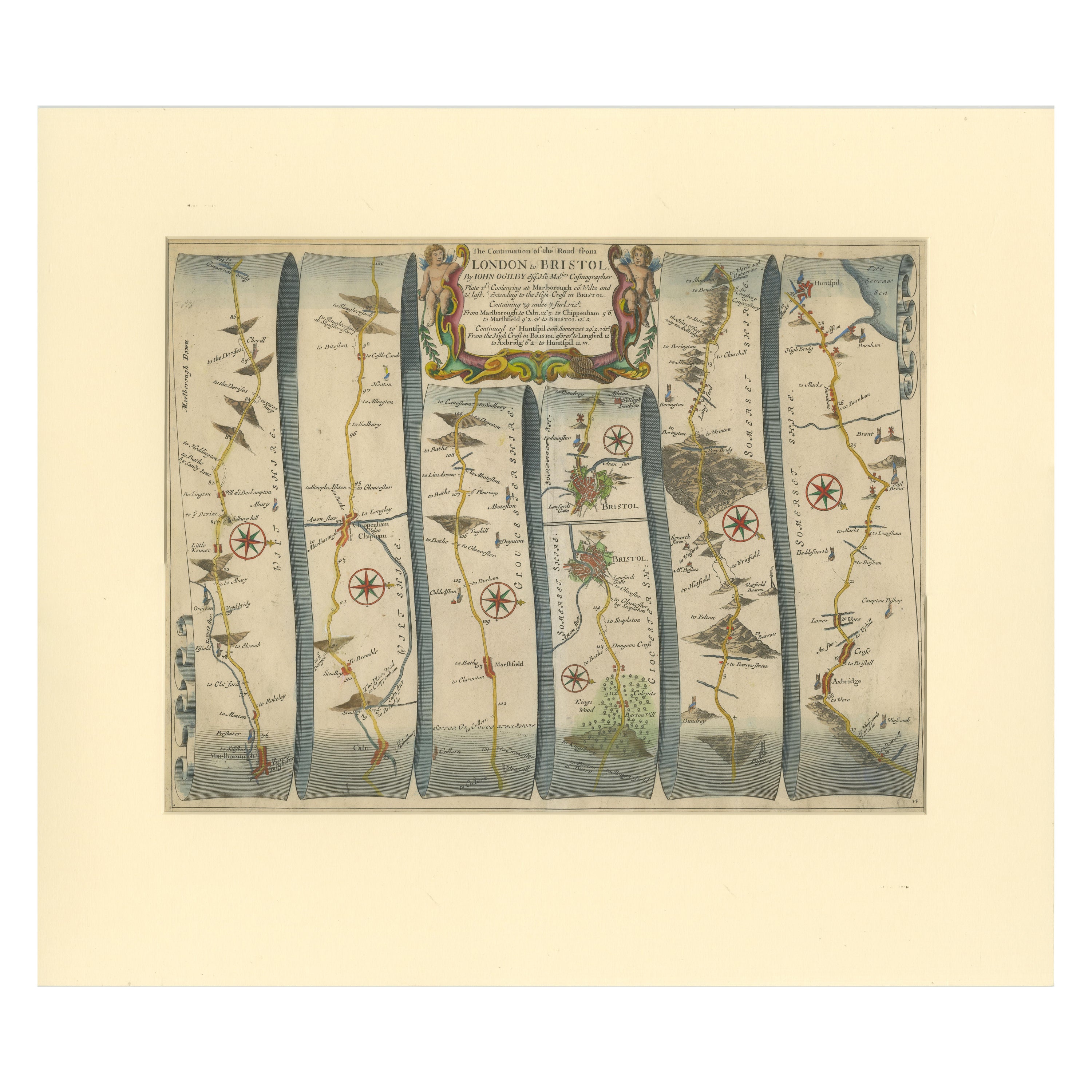

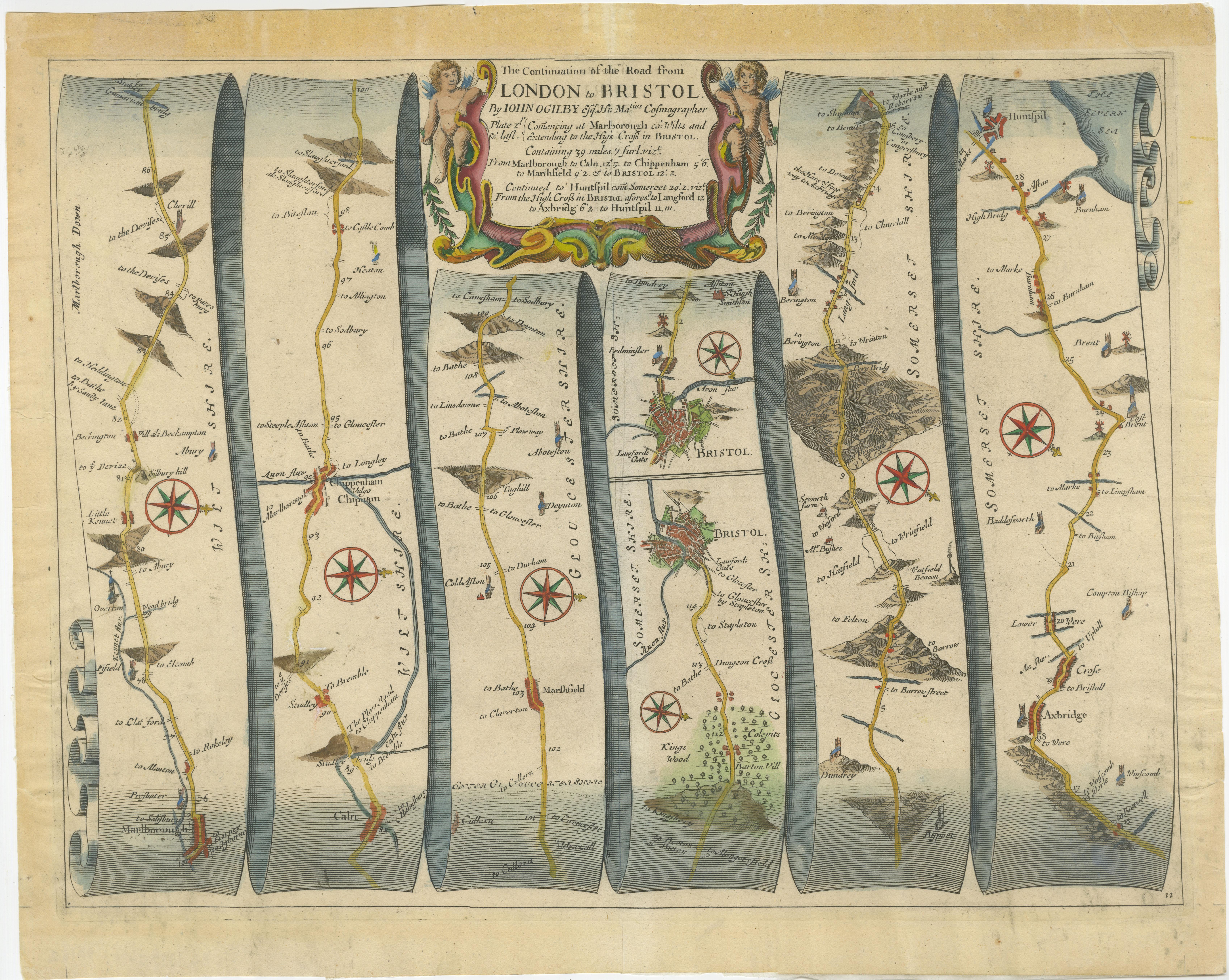
Original Antique Map of the Road from Marlborough to Huntspil
€ 540
One of a kind: this is the sheet in the photographs. Ships from Langweer, the Netherlands.
Sheet size
51 × 59 cm (20.1 × 23.2 in)
Condition
Good
Reference
BG-13325-2
Condition
General age-related toning, original folding line. Passepartout / matting included, however, the map can be easily removed. Some tape residue in margins. Minor wear and soiling, blank verso. Please study image carefully.
About this sheet
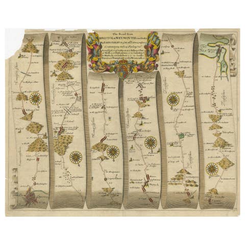
Antique map titled 'The Continuation of the Road from London to Bristol (..)'. A strip map of the continuation of the road from London to Bristol, this particular sheet showing the route from Marlborough to Huntspil. Bristol is depicted at centre, and the map details numerous other cities, towns, and villages, including Studley, Chippenham, Marshfield, Axbridge, and Crose, as well as the Mendip Hills. The map is further ornamented with numerous compass roses, and a decorative title cartouche. Originates from Ogilby's 'Britannia', the first road atlas of England & Wales, first published in 1675.
John Ogilby, born in Edinburgh in 1600, was a man of many parts, his various vocations included dancing instructor, tutor, theatre owner, translator, poet, printer, historian and mapmaker. He did not embark on his last profession until he was over sixty years of age but in the short time before his death in 1675 he achieved lasting fame with his great work on the English roads, 'Britannia', published the year he died. It proved to be a milestone in English cartography, the first real step forward since the publication of Saxton's atlas in 1579.